Rating: 2.434782608
out of 5
based on 23 user ratings
Publisher Website: External Link Downloads: 1023 License: Free
MapWindow GIS is a free software by MapWindow Open Source Team and works on Windows 10, Windows 8.1, Windows 8, Windows 7, Windows 2012.
You can download MapWindow GIS which is 51.19 MB in size and belongs to the software category Other Programming Files. MapWindow GIS was released on 2014-01-10 and last updated on our database on 2017-03-12 and is currently at version 4.8.
We also have MapWindow GIS 64bit version which is 55.07 MB in size and will work on x64 computers.
Thank you for downloading from SoftPaz! Your download should start any moment now. It would be great if you could rate and share:
Rate this software:
Share in your network:
MapWindow GIS Description
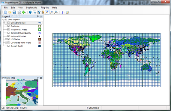
MapWindow GIS is an open source GIS application that comes with support for data analysis, manipulation, and view options for geospatial data. You can use the utility as a mapping program, GIS modelling system and GIS programming interface (API) all bundled into a single layout.
User interface
The tool comes with a comprehensive set of features but the layout doesn’t look crowded at all. It is actually clean and you can explore the maps by zooming in or out.
In case you get lost configuring the dedicated parameters, you can check out the help manual which provides extensive information about the program’s capabilities.
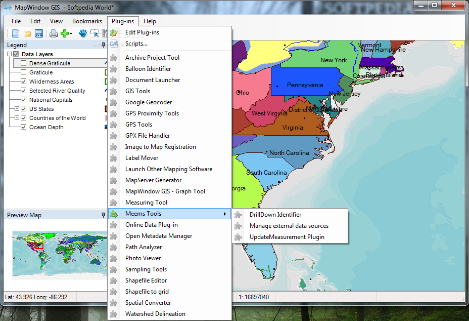
MapWindow GIS lets you make use of projects for storing data which can be saved to your computer and imported for future editing options. The program offers support for plugins which can be installed for enhancing its functionality
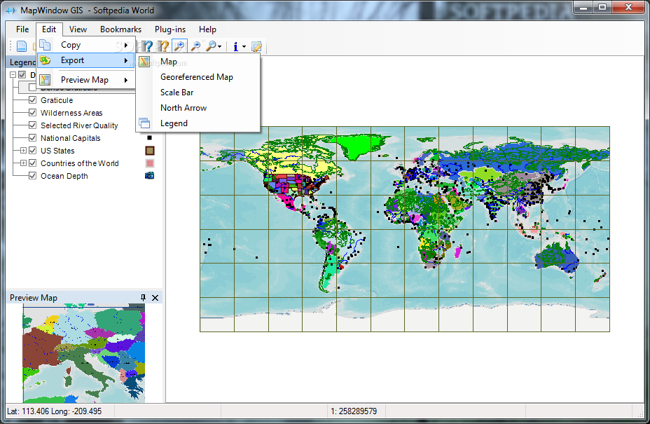
Importing/exporting options
You can import data from various file formats, such as ASC, BIL, DHM, IMG, FLT, TIF, AUX, PIX, BMP, GIF, MAP, JPG, SID, PNG or other ones. When it comes to exporting options, you can save maps to BMP, GIF, PNG, EMF or JPG file format and print data.
Layer management
MapWindow GIS integrates handy features for helping you work with layers by importing information from SHP, ASC, IMG, BMP, JPG, PNG, GIF, WMF, ECW or other file format, and removing a layer or clearing all of them.
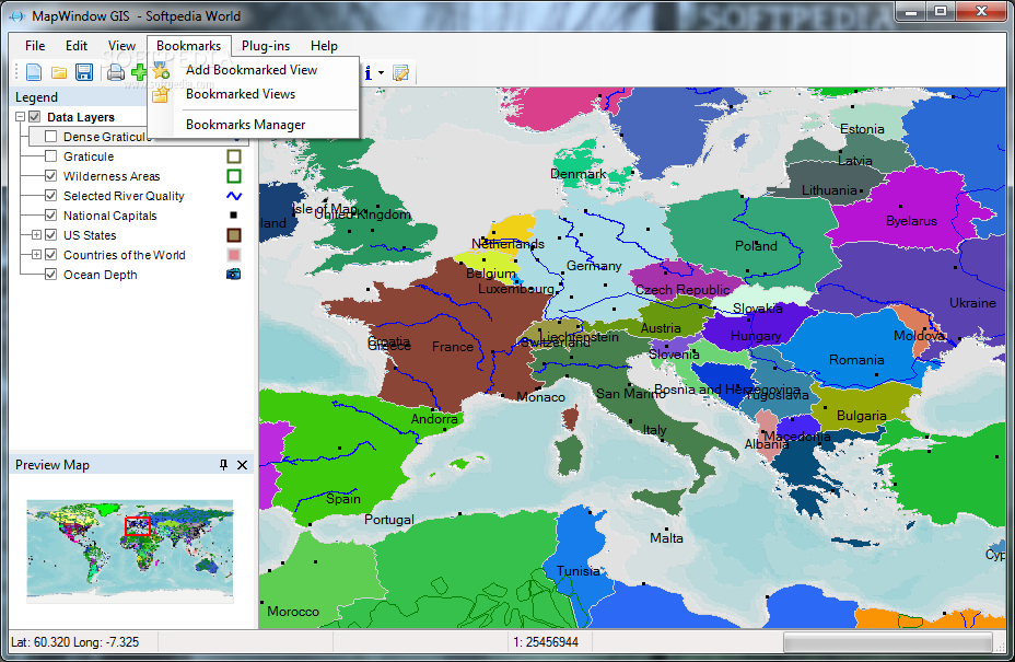
Bookmark manager, shapefiles and geoprocessing tools
The built-in bookmark manager enables you to keep track of your bookmarked views, as well as import/export info from/to XML/CSV file format.
You can view the attributes of shapes in the target layer, use the “Measure†tool for displaying the perimeter and area of shapes selected from the target layer, add labels, save the symbology to a file, activate the attribute table for viewing and defining shapes, as well as create and edit shapefiles with the aid of a plugin called “Shapefile Editor.â€
The program comes with a handy set of geoprocessing utilities for helping you activate several raster operations (including clip by polygon, merge grids and reclassify), work with various projection functions, calculate polygon areas, dissolve shapes by attribute, and carry out clipping operations (using shapefile or polygon mask) and vector overlays (including intersection and union).
Bottom line
All in all, MapWindow GIS proves to be a reliable spatial data viewer that can be enhanced and modified with the aid of various plugins.


 Windows 7 and above
 View Screenshots(7)
 Comments
 Download


 Similar Software
 Software Categories
 Trending Software
 Like Us


 Recently Searched


