Works on: Windows 10 | Windows 8.1 | Windows 8 | Windows 7 | Windows 2003 | Windows 2008 | Windows Vista | Windows 2012 SHA1 Hash: 868a62189d0b5db48ccab43c60ba6b2d65940014 Size: 466.38 MB File Format: exe
Rating: 2.869565217
out of 5
based on 23 user ratings
Publisher Website: External Link Downloads: 2572 License: Free
ArcReader is a free software by ESRI and works on Windows 10, Windows 8.1, Windows 8, Windows 7, Windows 2003, Windows 2008, Windows Vista, Windows 2012.
You can download ArcReader which is 466.38 MB in size and belongs to the software category Science CAD. ArcReader was released on 2017-01-30 and last updated on our database on 2017-04-22 and is currently at version 10.5.
Thank you for downloading from SoftPaz! Your download should start any moment now. It would be great if you could rate and share:
Rate this software:
Share in your network:
ArcReader Description
Many applications that deal with specific kinds of files that cannot be created, edited or opened with other programs have their proprietary file types. Some of the developers of such software will make available certain utilities that can only open the documents, without offering the possibility to modify the content in any way.
Specialized utility designed to open ArcGIS map files
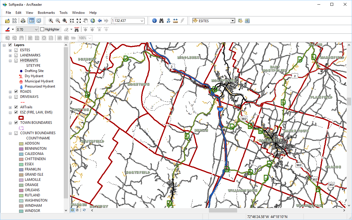
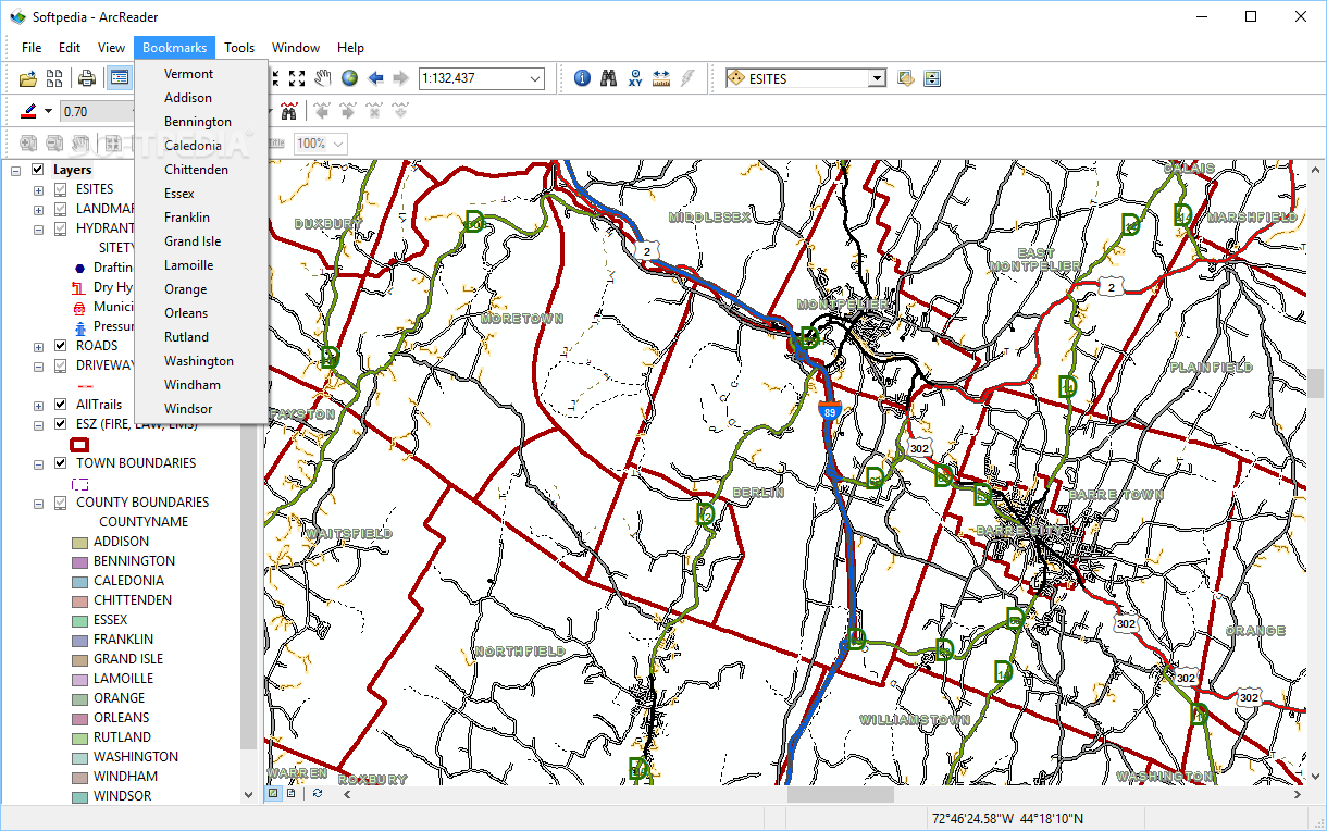
When it comes to ArcGIS map and globe documents, there is a dedicated tool called ArcReader that is able to handle the PMF format that these files are saved in. These published map files can be opened and examined closely through a practical interface, which hosts all the features of the app.
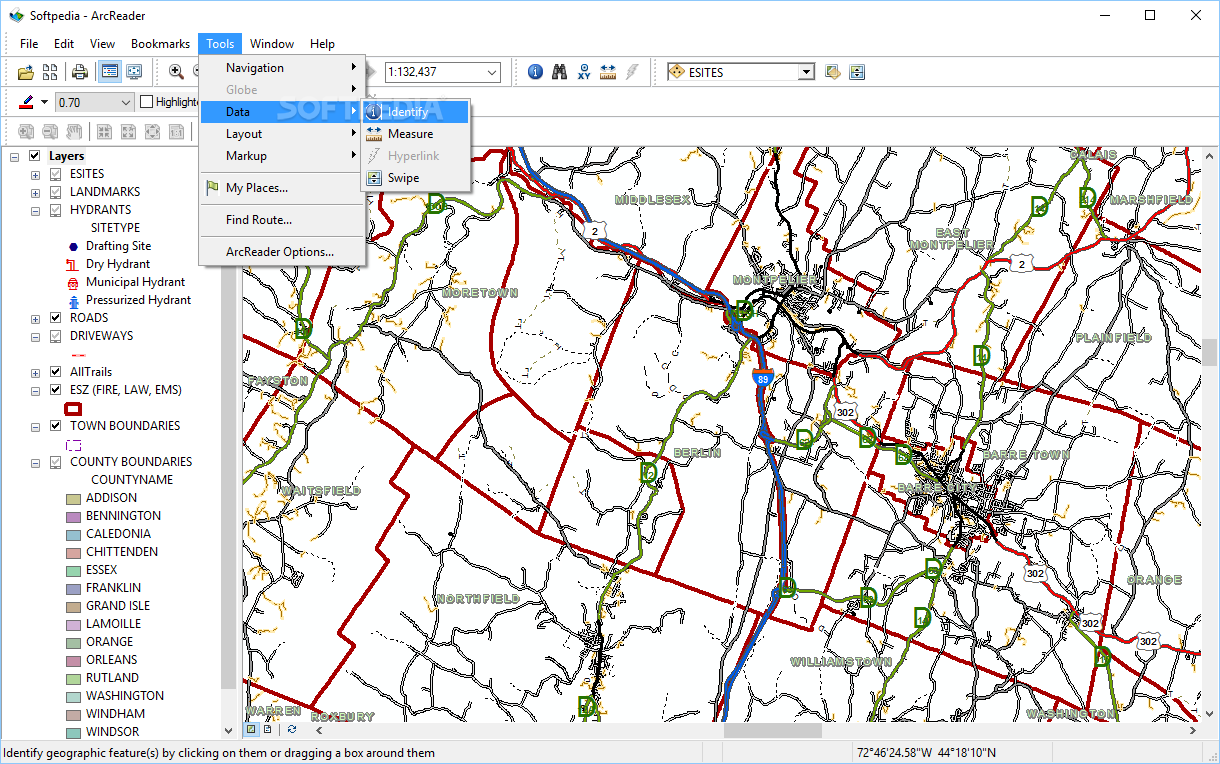
The immense amount of details that can be contained in these maps through the multiple layers supported by PMF documents can be viewed up close using the zooming functions of ArcReader. It comes with a host of tools that include a markup pen, a highlighter, a highly configurable route finder and many more.
Export content to BMP and print maps
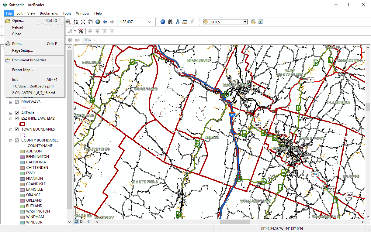
This software offers you the possibility to add as many places as you want to a personal list from where they can be used for routes or simply to ease the navigation across the map. One of the most useful features of ArcReader is the ability to export the loaded documents as bitmaps, in the common BMP format.
Another neat function of this program is the printing facility you can use to list the entire map or only the currently loaded view. All the elements you see on the document will be included when printing the map, so there is no loss of information.
Great solution for viewing and printing ArcGIS map files
All things considered, ArcReader proves through its powerful set of features that it can be one of the best solutions for anyone who needs to handle published map files (PMF) insofar as viewing, annotating and printing them is concerned.


 Windows 2003 and above
 View Screenshots(13)
 Comments
 Download


 Recently Searched
 Software Categories
 Trending Software
 Like Us


 Similar Software


