Works on: Windows 10 | Windows 8.1 | Windows 8 | Windows 7 | Windows XP | Windows 2000 | Windows 2003 | Windows 2008 | Windows Vista | Windows 2012 SHA1 Hash: 07abaa4a8e3e119a9cbc99fee312fb9af17a9916 Size: 93.27 MB File Format: exe
Rating: 2.52173913
out of 5
based on 23 user ratings
Publisher Website: External Link Downloads: 1964 License: Demo / Trial Version
Didger is a demo software by Golden Software Inc and works on Windows 10, Windows 8.1, Windows 8, Windows 7, Windows XP, Windows 2000, Windows 2003, Windows 2008, Windows Vista, Windows 2012.
You can download Didger which is 93.27 MB in size and belongs to the software category Science CAD. Didger was released on 2016-02-01 and last updated on our database on 2017-04-12 and is currently at version 5.11.
Thank you for downloading from SoftPaz! Your download should start any moment now. It would be great if you could rate and share:
Rate this software:
Share in your network:
Didger Description
Digitize any map, graph, aerial photo, site map, or printed image regardless of size using any Wintab32 compatible tablet.
Digitize a vector or raster project onscreen.
Digitize directly into a vector project using a GPS unit.
Display all the raw data being sent form the GPS unit or save it to a data or text file.
Average the data from the GPS over x number of sample points.
See the current position of the satellites that are being used for a lock for the GPS.
Display all GPS displays and settings.
View the current elevation with the GPS unit.
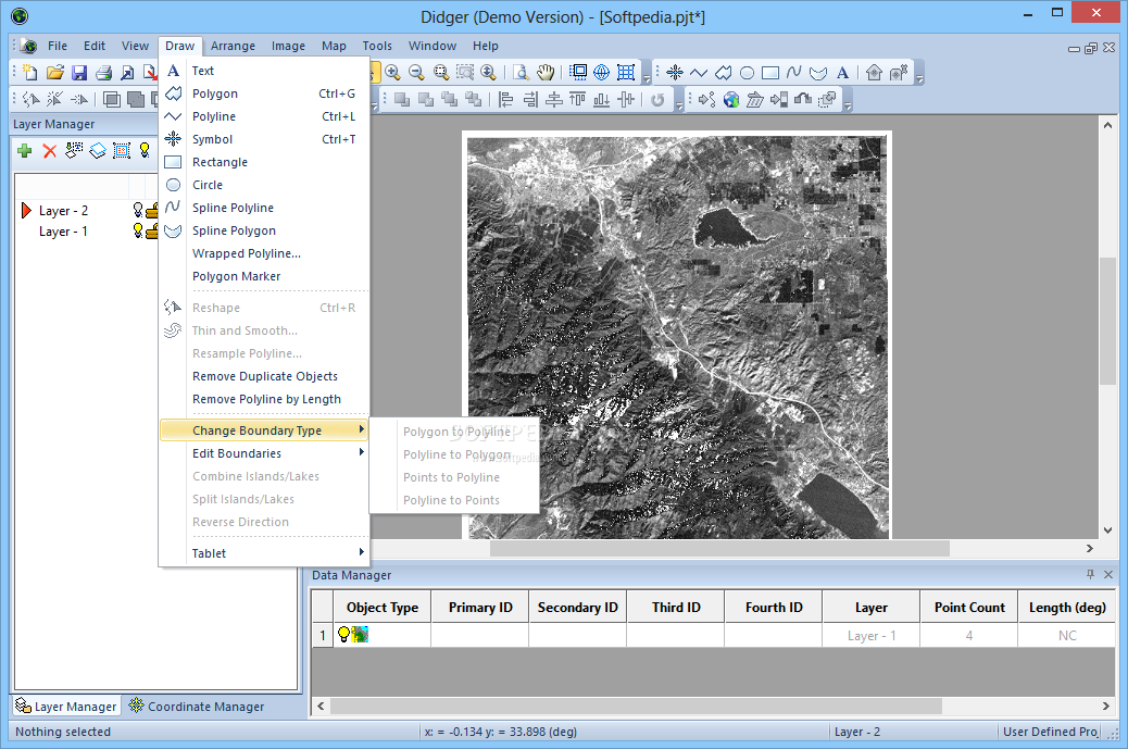
Thin and smooth objects by selecting point selection removal, deviation distance, vertex averaging, or spline smoothing options.
Reshape objects by adjusting individual nodes.
Combine, split, and/or reverse islands and lakes.
Merge two polygons together, or create a polygon from the intersection of two polygons.
Import any vector file and retain or apply up to 23 map projections. Projections supported are: Universal Transverse Mercator (UTM), State Plane 1927, State Plane 1983, Albers Equal Area Conic, Azimuthal Equidistant, Eckert IV and VI, Equidistant Conic, Equidistant Cylindrical, Gauss-Kruger/Gauss-Conformal, Lambert Azimuthal Equal Area, Lambert Conformal Conic, Mercator, Miller Cylindrical, Molleweide, Orthographic, Polyconic, Robinson, Robinson-Sterling, Sinusoidal, Stereographic, Transverse Mercator, and Unprojected Lat./Long.
Specify one of over 200 datums for your project.
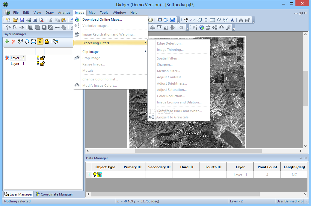
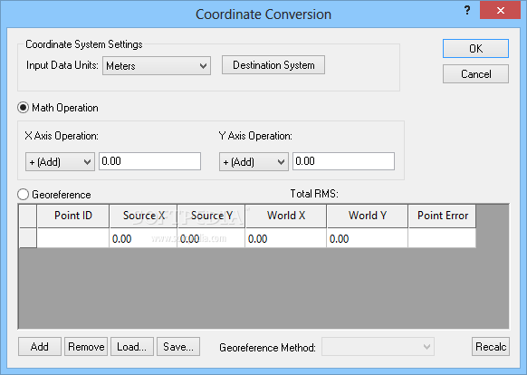
Convert the projection of a bitmap in a raster project.
Warp, or rubber sheet, your calibrated raster image to fit any calibration units.
Import a georeferenced bitmap into a vector project and overlay it with other data or vector files, or tile it with other georeferenced bitmaps.
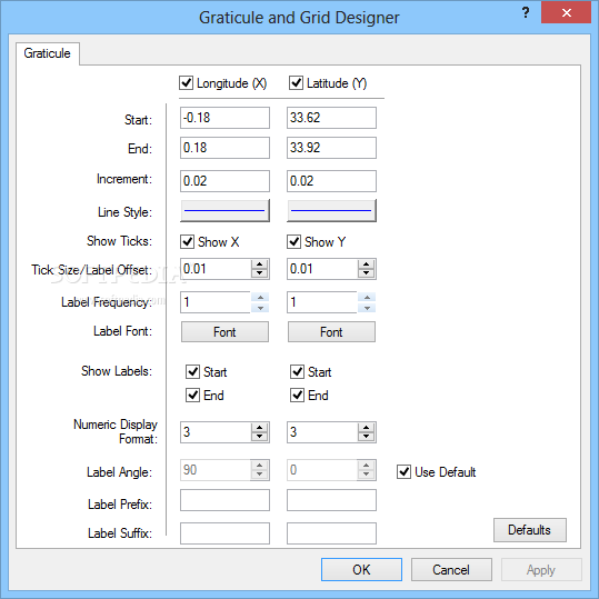
Add a graticule or a grid automatically to your project.
Display the coordinates of selected objects in the Coordinate Manager.
Define a polygon and use it to clip a bitmap
Specify up to 256 colors to be transparent for a bitmap.
Export directly to Surfer using the Create Surfer Base Map command.
Use the Create Post Map option when importing a data file.
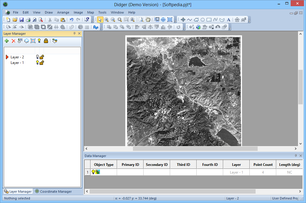
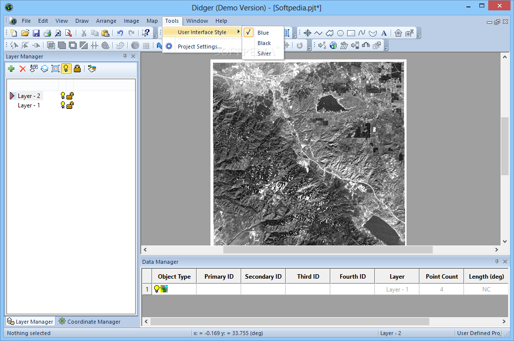
Organize your data into different layers with the easy-to-use Layer Manager.
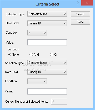
Select objects with And/Or criteria.
Resample polylines at a specified interval along either the X or Y axis.
Use the built-in scanning features to import a bitmap using any TWAIN compatible scanning device.
Import vector or raster files using any of the 27 formats that Didger supports.
Import data points from 9 different data formats.
Export vector or raster files using any of the 23 formats that Didger supports.
Import and export spatially referenced images including GeoTIFF, TFW, and RSF.
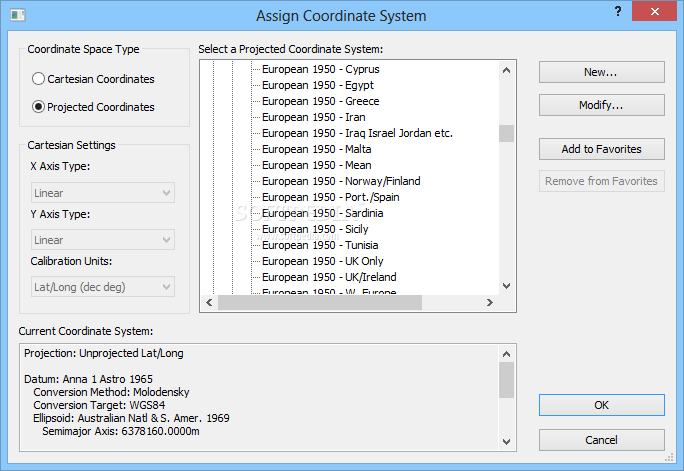
Calibrate your project using Cartesian or Projected coordinate space types.
Specify map datum parameters and perform datum transformations using the following methods: Molodensky, Bursa-Wolfe, DMA Multiple Regression Equations (RME), and user defined.
Specify projection parameters when importing data or vector files.
Combine vector maps from different projections into a single map projection.
Digitize different cultures on separate layers and export only selected layers.
Use Didger data with Surfer?, Grapher?, MapViewer?, or any other mapping, graphing, or database application.
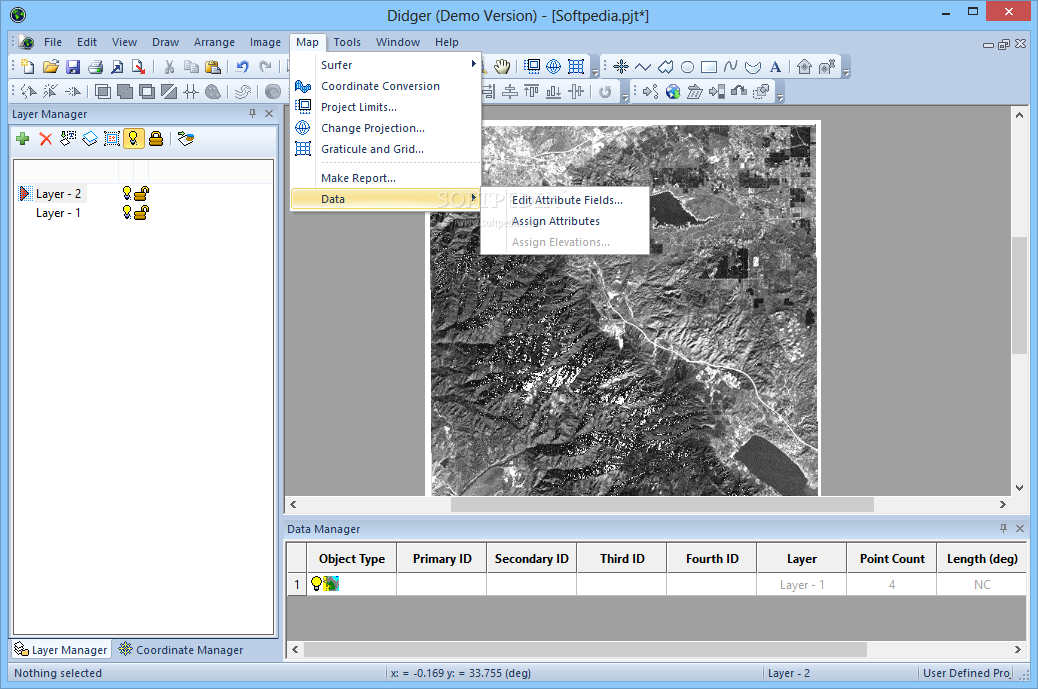
Associate and display up to four data values or identifiers for each object.
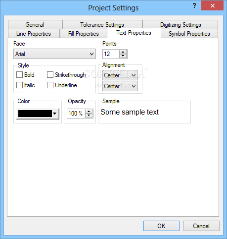
Use any units (feet, angstroms, miles, meters, kilometers, etc.) with any combination of linear or logarithmic axes.
Determine allowable error for your project and work within acceptable standards based on statistical calibration analyses.
Obtain length information from polylines.
Obtain polygon area and perimeter length.
Zoom in or out to display any portion of the project.
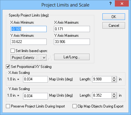
Set project limits for the extent of your project, or let Didger define default limits.
Automatically assign IDs or assign data as you digitize.
Edit polylines and polygons with the numerous editing tools.
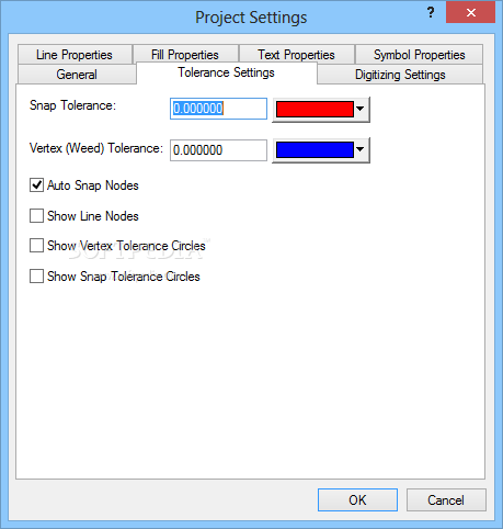
Define tolerance settings controlling the chaining and sensitivity of polyline and polygon creation.
Get immediate help for all aspects of Didger, including useful digitizing examples, from the extensive online help system.
Use the highly accurate and simple-to-use Tablet Calibration Wizard using between 3 and 256 calibration points.
Receive unlimited technical support for as long as you own Didger.
Create and print a report of all or selected objects in your Didger project.
Print the entire map in full color.
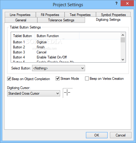
Use the mouse, the digitizing tablet pointer, or both while completing project work.
Enjoy over 440 Megabytes of Digital Line Graphs and Digital Raster Graphs for the Grand Canyon, Rocky Mountain, and Yellowstone National Parks included on the CD.
Enjoy over 80 Megabytes of boundary files, including boundaries for US 3- and 5-digit ZIP codes, US states, US counties, US State Plane delineations, US city point locations, and world countries.
Where to buy?
Last updated price and discount information 9 years agoupdate now


 Windows XP and above
 View Screenshots(22)
 Comments
 Download


 Similar Software
 Recently Searched
 Software Categories
 Trending Software


 Like Us


