Works on: Windows 10 | Windows 8.1 | Windows 8 | Windows 7 | Windows 2012 SHA1 Hash: 2ced753795fa0d263190fcc1ce0f23c7ad270b0f Size: 14.31 MB File Format: exe
Rating: 2.695652173
out of 5
based on 23 user ratings
Publisher Website: External Link Downloads: 2082 License: Demo / Trial Version
ExpertGPS is a demo software by TopoGrafix and works on Windows 10, Windows 8.1, Windows 8, Windows 7, Windows 2012.
You can download ExpertGPS which is 14.31 MB in size and belongs to the software category Science CAD. ExpertGPS was released on 2017-03-09 and last updated on our database on 2017-06-13 and is currently at version 6.
Thank you for downloading from SoftPaz! Your download should start any moment now. It would be great if you could rate and share:
Rate this software:
Share in your network:
ExpertGPS Description
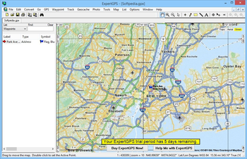
ExpertGPS is a powerful software application designed to help users view and edit GPS waypoints, routes, and tracks.
User-friendly app that comes with support for a wide array of map formats
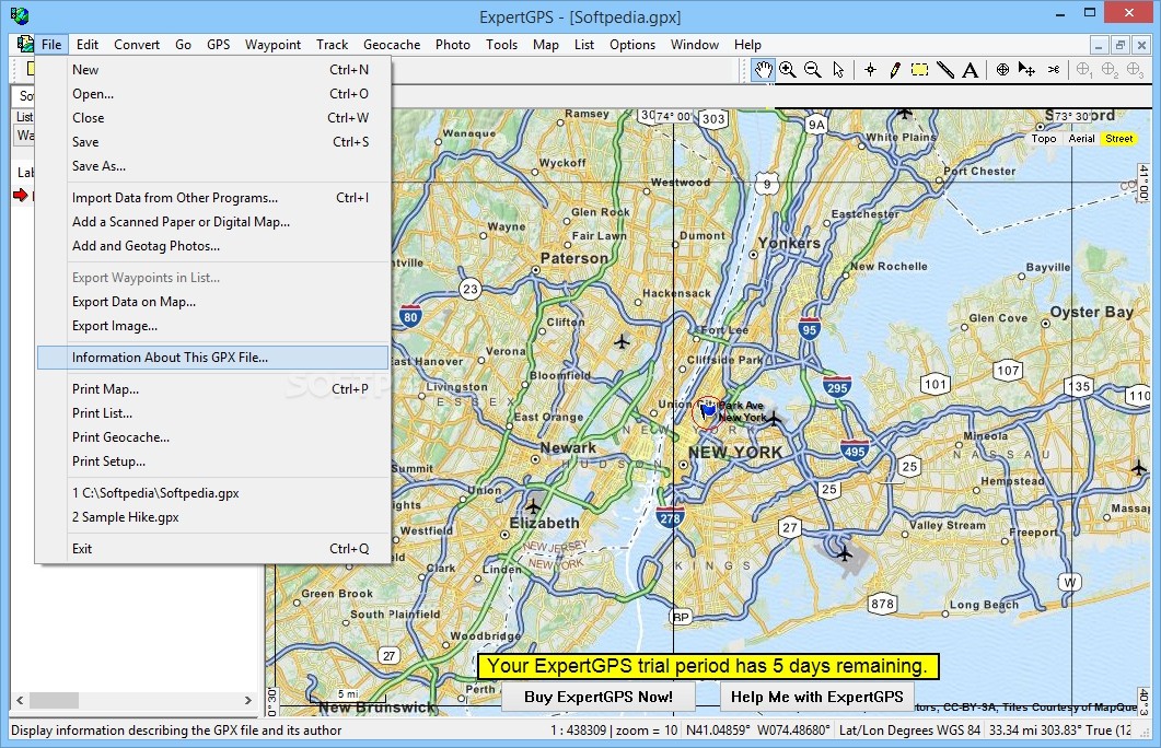
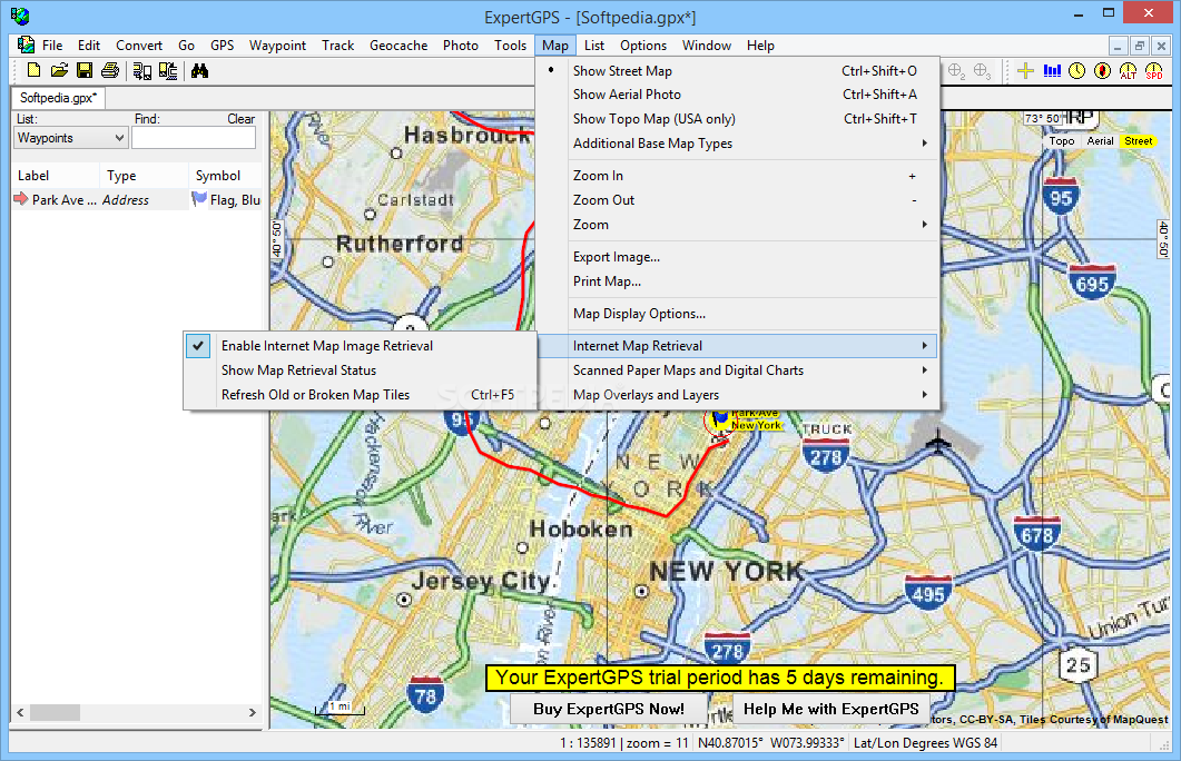
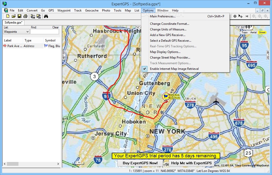
It sports a clean and straightforward interface that gives users the possibility to zoom in or out of the generated map, select the background (e.g. street maps, US aerial photos, white background), and print the map or export it to different file formats, namely BMP, JPG, PNG, TIF, SVG, or KMZ.
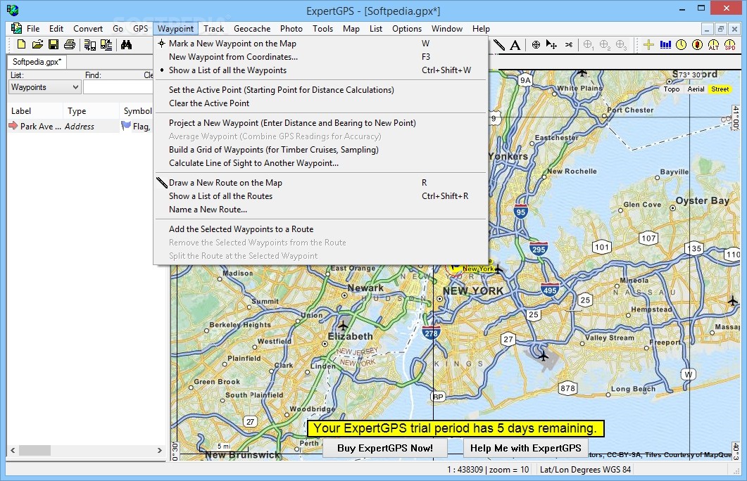
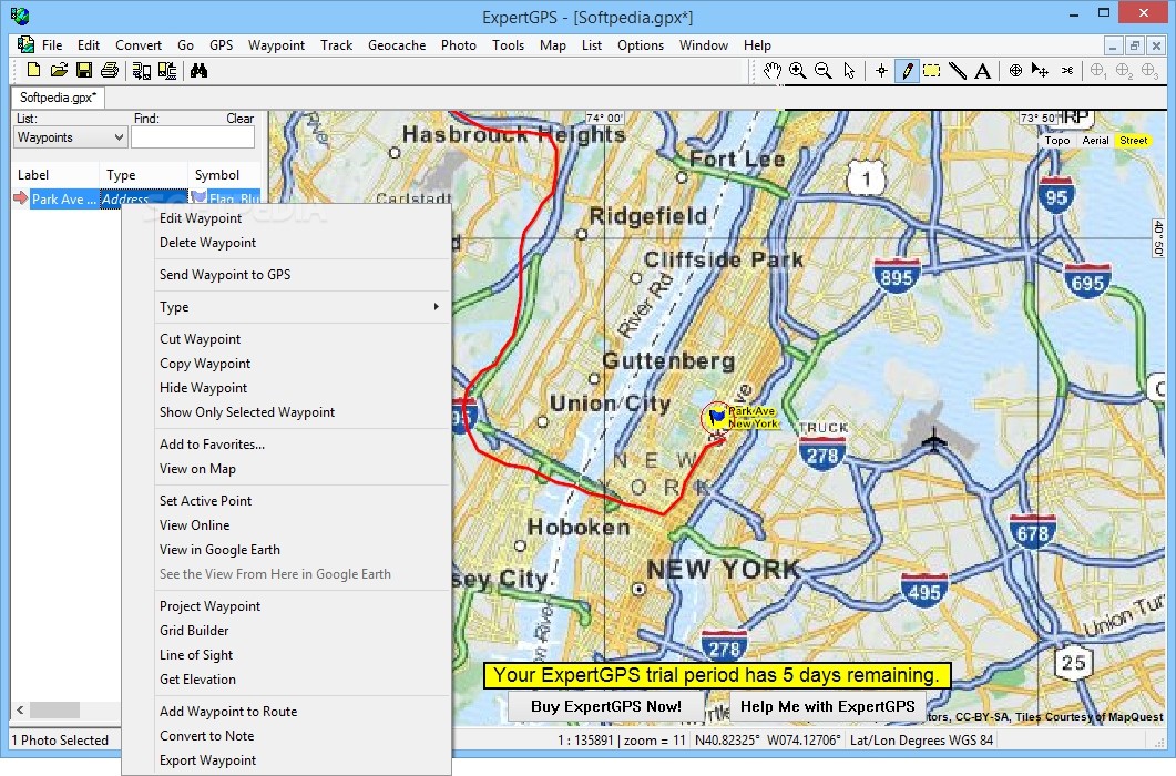
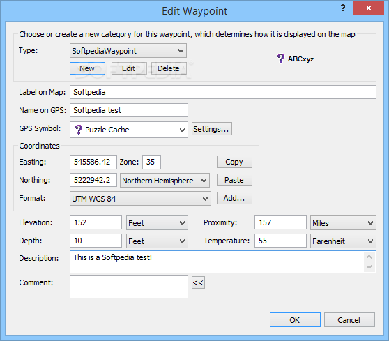
The application allows you to create insert waypoints for marking important location on the maps by simply clicking on the map or entering the coordinates. Plus, you can edit multiple waypoints, delete, cut, copy, or paste them.
Straightforward workflow
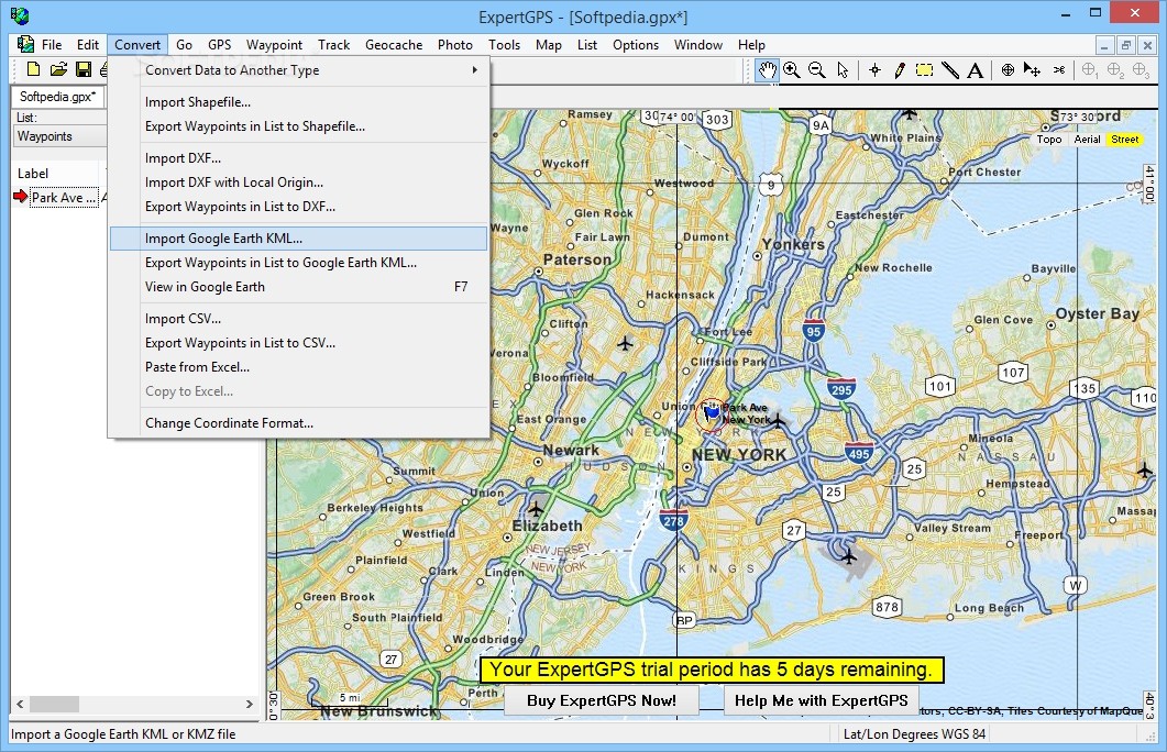
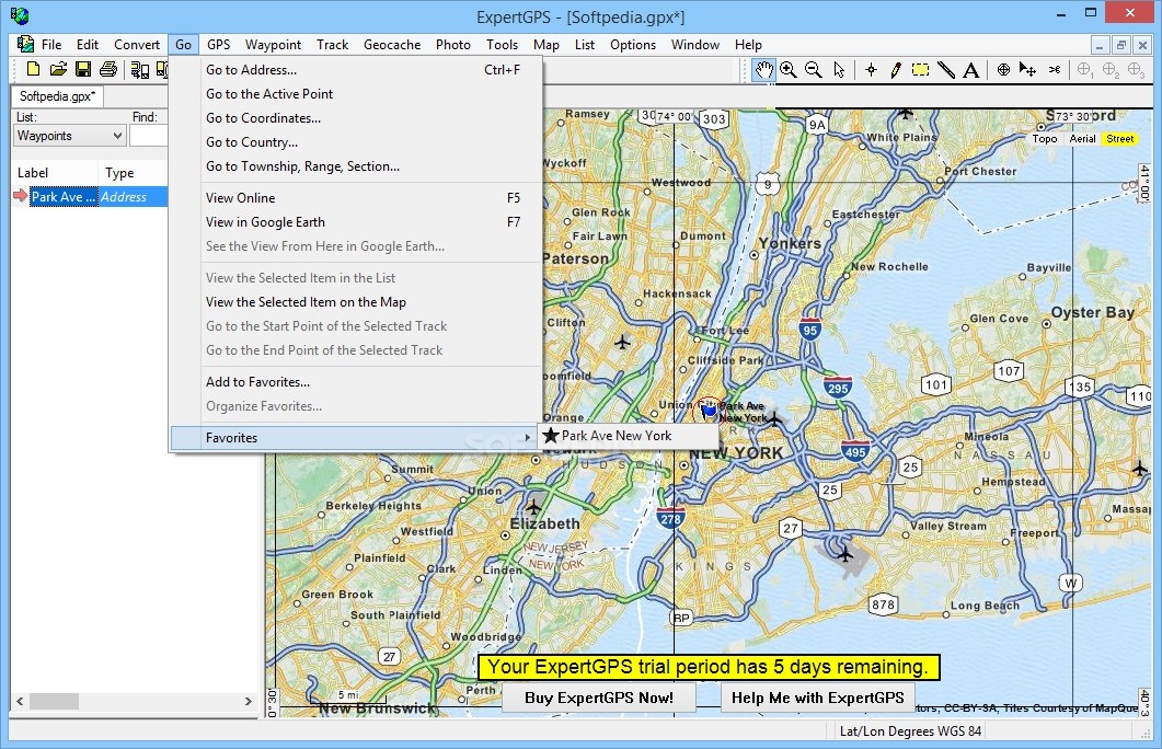
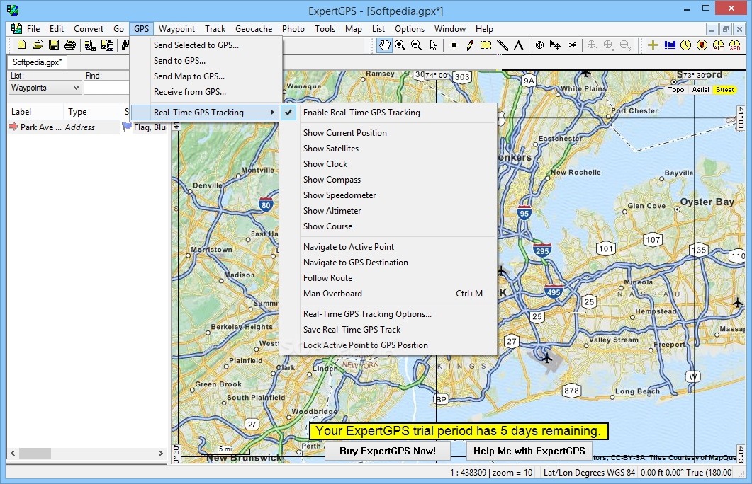
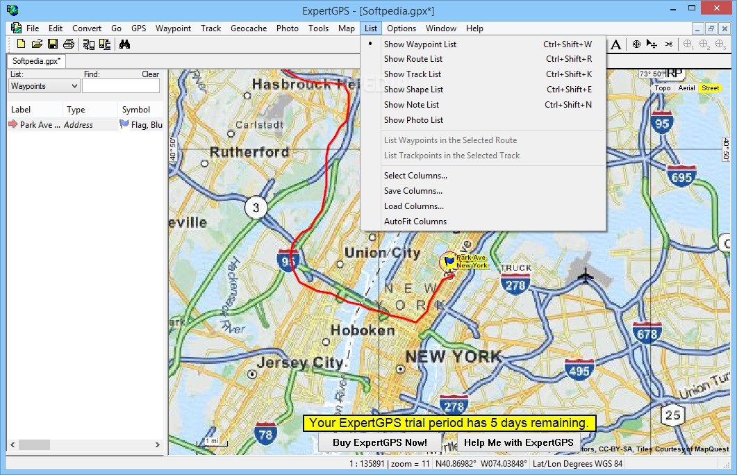
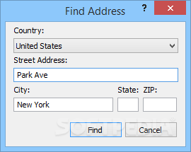
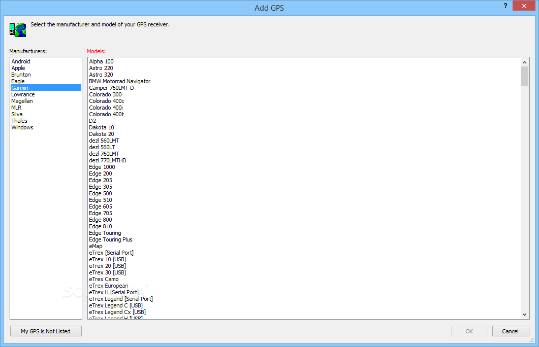
What’s more, you can perform searches for finding waypoints, view a list with them, hide them, from the map, send or receive the selected waypoints to and from the GPS, and import data from TPG, MXF, or CSV file formats.
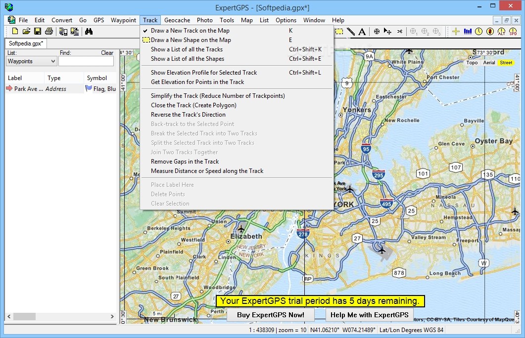
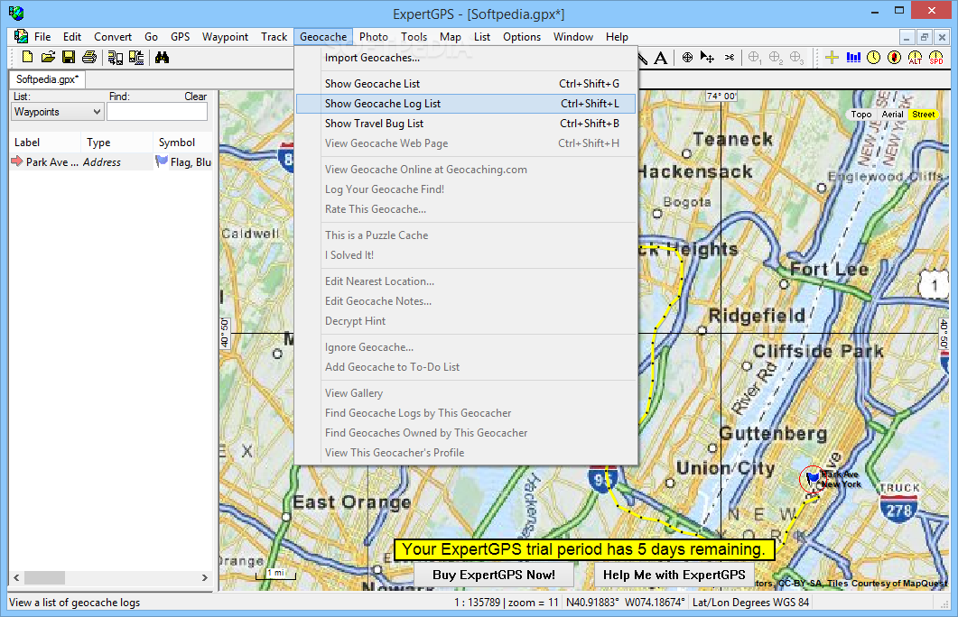
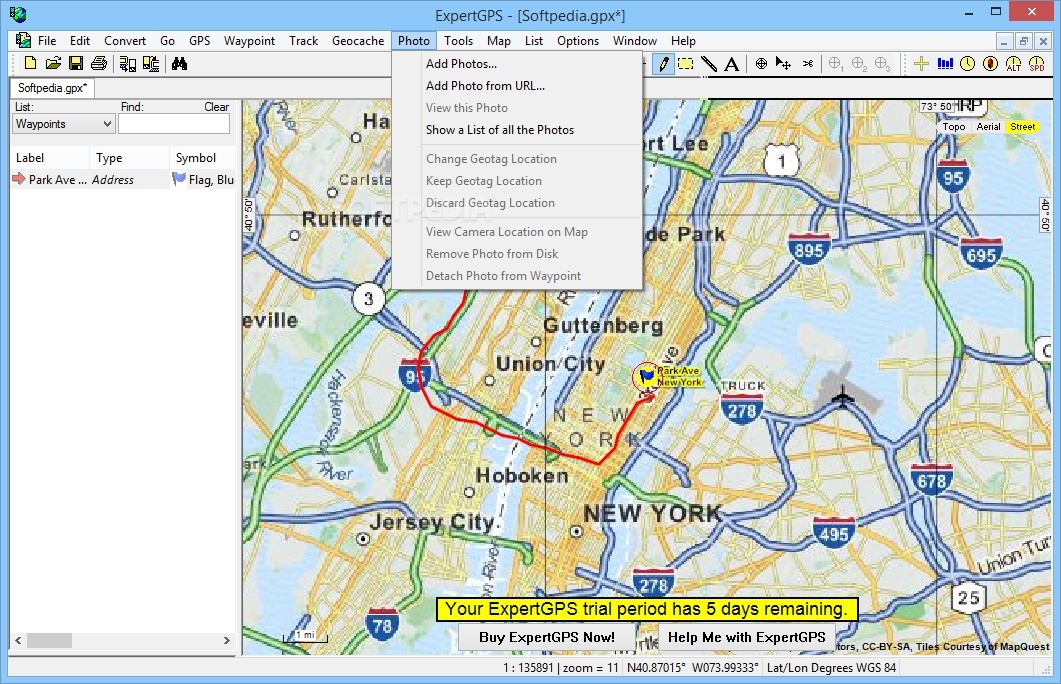
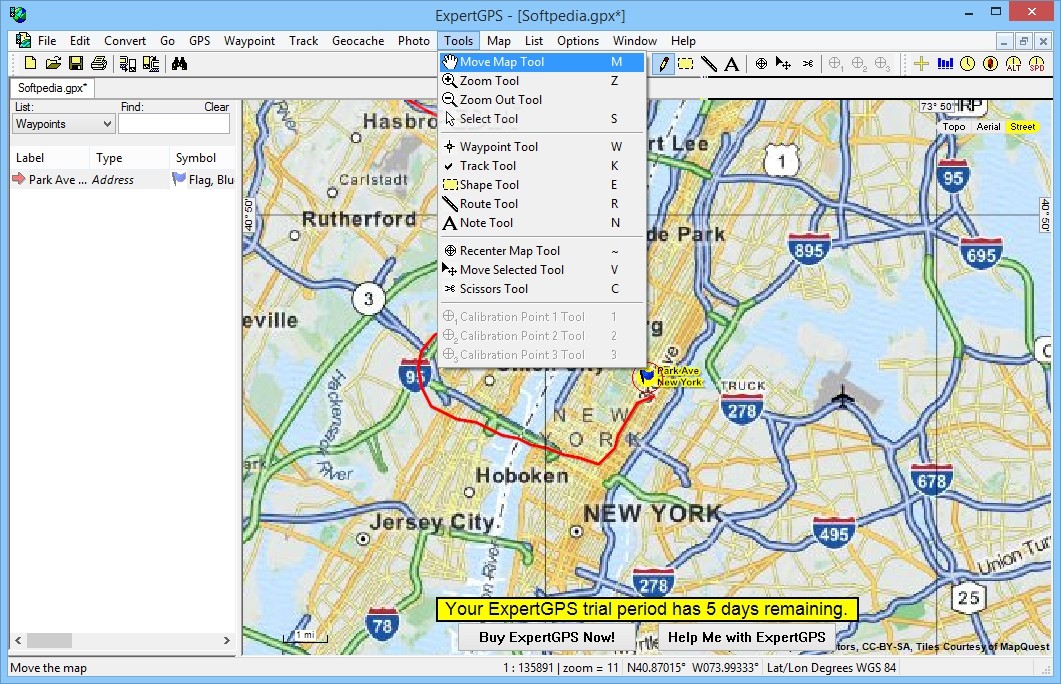
Similar dedicated parameters are put at your disposal for creating and editing routes, tracks, shapes, notes, and photos. Last but not least, you can save the generated data to GPX format and view the position on the map while traveling.
Lightweight and efficient utility
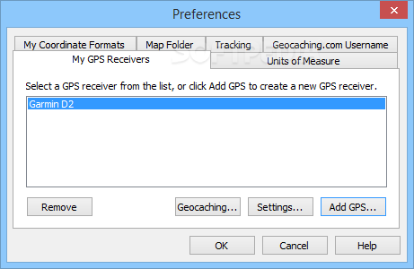
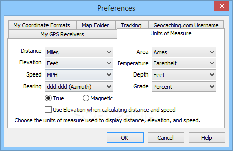
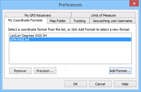
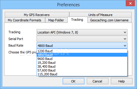
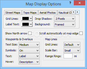
There are several configuration settings for changing the map layout, as you can select the colours for the grid lines and label text for topographical maps, aerial photos, and nautical charts.
During our testing we have noticed that ExpertGPS offers excellent image quality, and no errors showed up throughout the entire process. It doesn’t eat up a lot of CPU and memory, so it doesn’t burden the overall performance of the computer.
All in all, ExpertGPS offers many useful tools for helping users manipulate GPS waypoints, routes, and tracks in a professional way.
Where to buy?
Last updated price and discount information 9 years agoupdate now


 Windows 7 and above
 View Screenshots(25)
 Comments
 Download


 Similar Software
 Recently Searched
 Software Categories
 Trending Software


 Like Us


