Works on: Windows 10 | Windows 8.1 | Windows 8 | Windows 7 | Windows XP | Windows 2000 | Windows 2003 | Windows 2008 | Windows Vista | Windows 2012 File Format: exe
Rating: 2.391304347
out of 5
based on 23 user ratings
Publisher Website: External Link Downloads: 1887 License: Demo / Trial Version
Eye4Software Hydromagic is a demo software by Eye4Software BV and works on Windows 10, Windows 8.1, Windows 8, Windows 7, Windows XP, Windows 2000, Windows 2003, Windows 2008, Windows Vista, Windows 2012.
You can download Eye4Software Hydromagic which is 89.19 MB in size and belongs to the software category Science CAD. Eye4Software Hydromagic was released on 2016-08-27 and last updated on our database on 2017-04-15 and is currently at version 7.1.
We also have Eye4Software Hydromagic 64bit version which is 94.55 MB in size and will work on x64 computers.
Thank you for downloading from SoftPaz! Your download should start any moment now. It would be great if you could rate and share:
Rate this software:
Share in your network:
Eye4Software Hydromagic Description
GPS Connection:
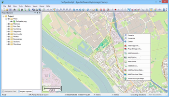
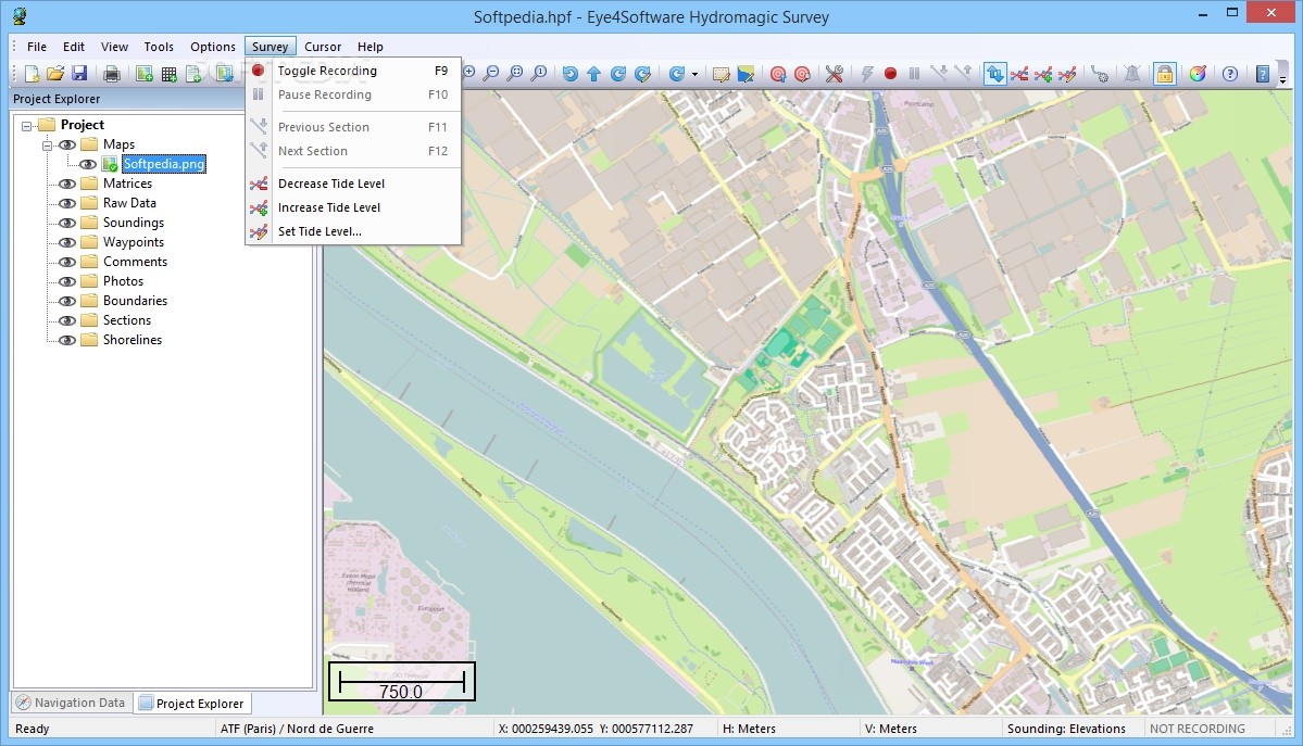
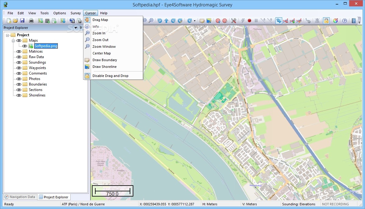
The software can communicate with almost any GPS device to retrieve your current position and show it on one of the supported raster or vectormaps. Any GPS device supporting the NMEA0183 protocol is supportd. It is possible to record your movements and the measured depths to a track.
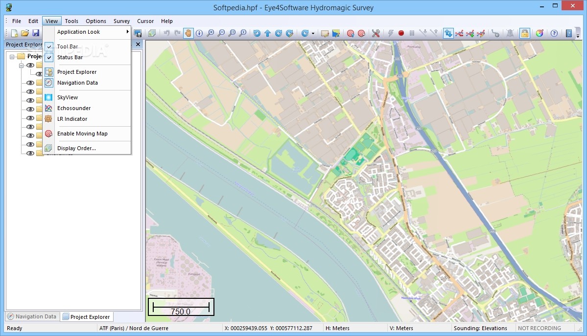
When a map is loaded, you can also calculate distance and course, add symbols, lines, boundaries and comments to your map and save and / or print them.
Map Formats:
GeoTIFF;
IHO-S57 Electronic Nautical Charts (ENCs);
AutoCad DXF CAD files;
Microstation ISFF DGN files;
MapInfo MIF/MID files;
Arc/Info Export files;
OpenStreetMap XML files, and OpenStreetMap PNG tiles through calibration;
ESRI Shapefiles;
BSB nautical charts;
JPG files, through user calibration or JGW (JPEG World File);
TIF files, through user calibration or TFW (TIFF World File);
GIF Files, through user calibration or GFW (GIF World File);
PNG Files, through user calibration or PGW (PNG World File);
BMP Files, through user calibration or BPW (BMP World File);
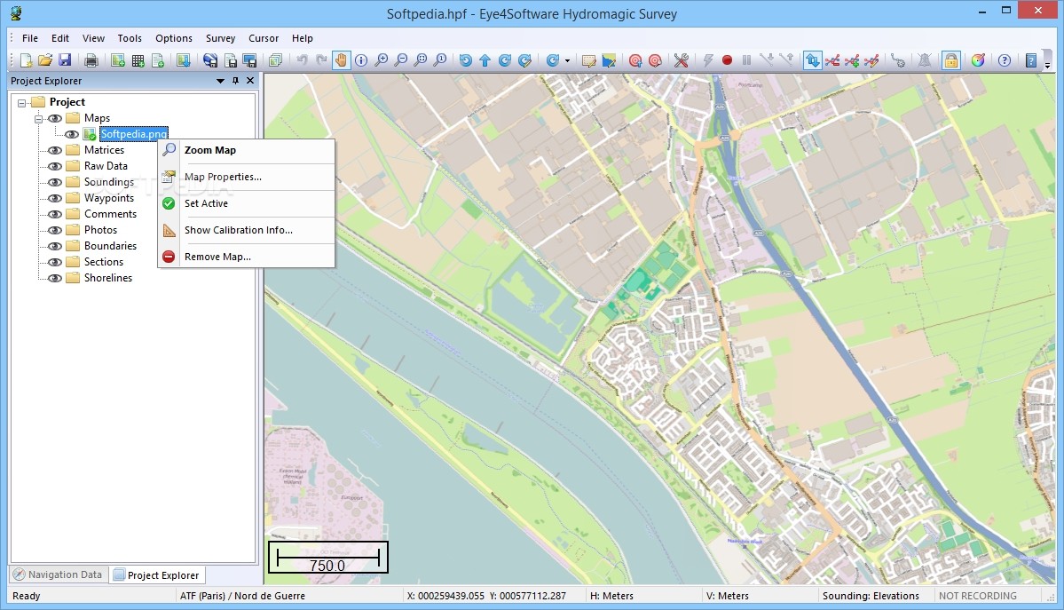
Import and Export formats:
Overlay data, such as comments, waypoints, matrix and track data can be imported from or exported to different file formats. File formats supported include ASCII XYZ Files, Topographix GPX GPS Exchange Files, Garmin Database, Maptech and OziExplorer PLT, WPT and RTE Files. You can export both manually added data as well as all data stored on your GPS device.
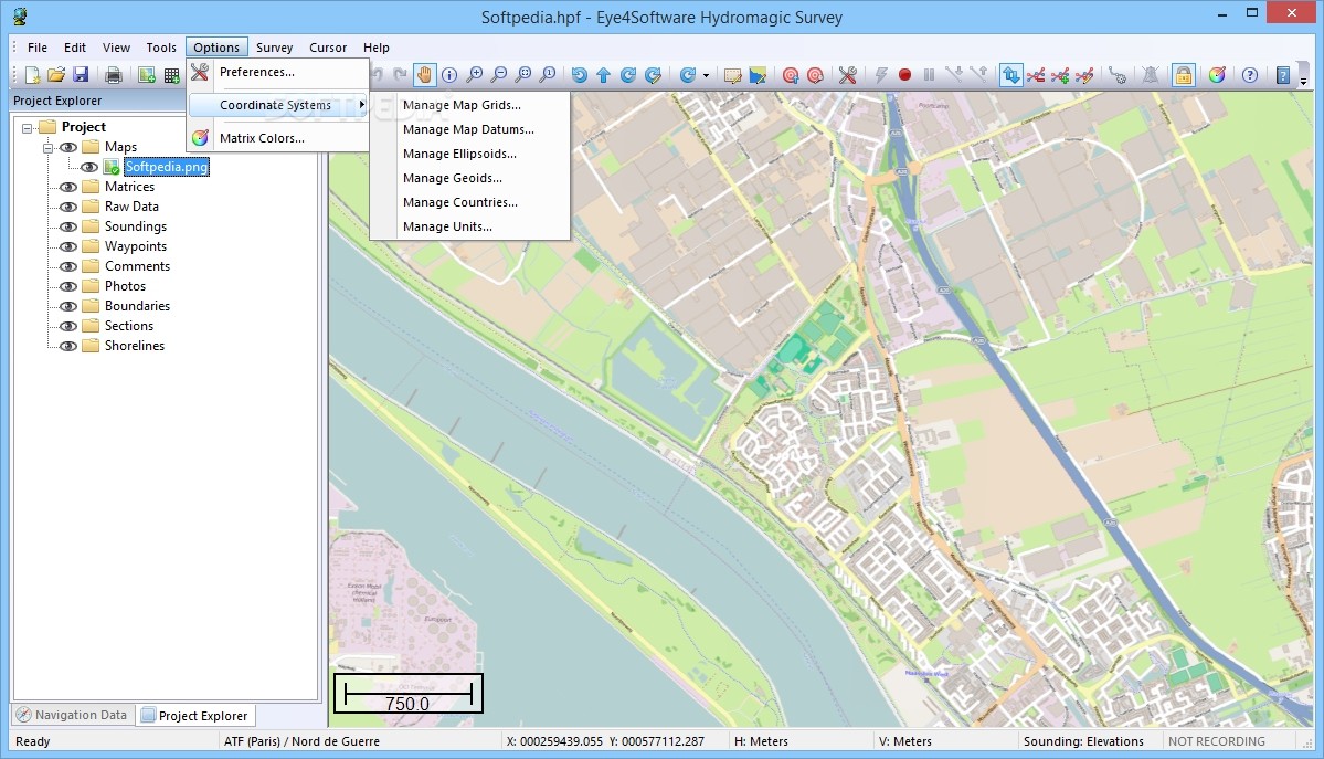
Map Projections:
To display a part of the globe (ellips or sphere) on a display(plane), a map projection is needed to prevent distortion of the map data. The software is shipped with a database containing over 3500 predefined map projections. You can also delete, modify and add new definitions.
Transverse Mercator;
Oblique Mercator;
Mercator;
Oblique Stereographic;
Polar Stereographic;
Albers Equal Area Conic;
Lambert Conformal Conic;
Lambert Azimuthal Equal Area;
Krovak;
Eckert IV;
Eckert VI;
Mollweide;
Cassini;
Polyconic;
Miller;
Bonne;
Sinusoidal;
Cylindrical Equal Area.
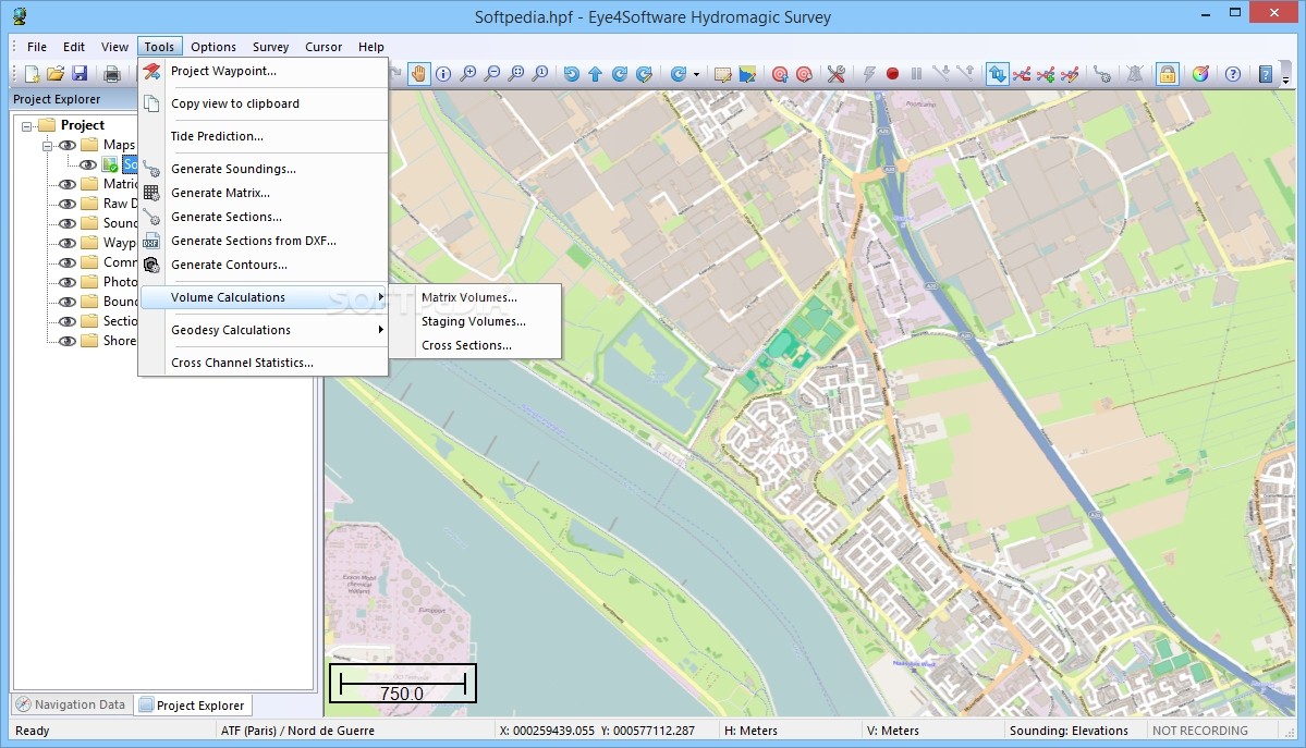
Tools:
Built in track editor to edit or correct your soundings;
Generate depth contours;
Generate regularly spaced XYZ data;
Show cross-sections;
Calculate volumes;
Skyview;
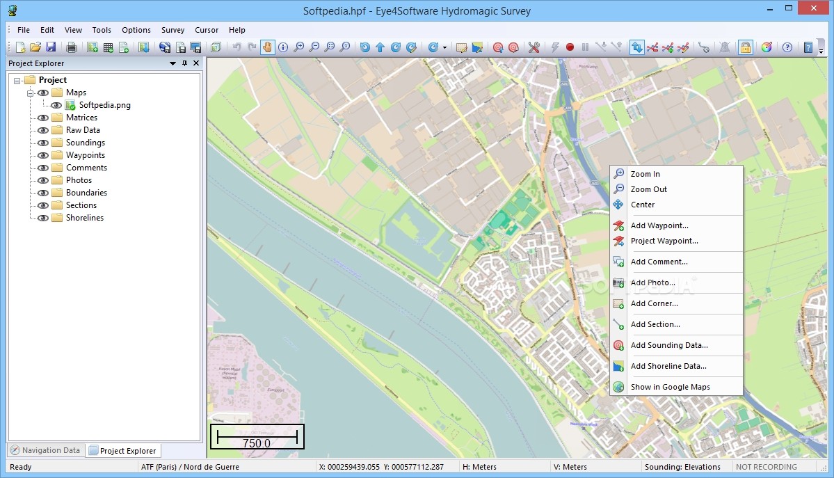
Map calibration, to use your own downloaded or scanned GIF, PNG, BMP, JPG and TIF maps;
Attribute viewer for GIS files like ESRI shapefiles and ENCs;
Dataview to display all information retrieved from the GPS device;
Track recorder to save all movements and measured depths to a GPS track;
Great circle calculations to perform distance and bearing calculations from point to point;
Display your position on the map realtime.
Where to buy?
Last updated price and discount information 9 years agoupdate now


 Windows XP and above
 View Screenshots(18)
 Comments
 Download


 Similar Software
 Recently Searched
 Software Categories
 Trending Software
 Like Us


