Works on: Windows 10 | Windows 8.1 | Windows 8 | Windows 7 | Windows 2012 SHA1 Hash: 75087c8ad61738bb2dbce0cc235a4c982c924ac5 Size: 54.68 MB File Format: exe
Rating: 2.25
out of 5
based on 24 user ratings
Publisher Website: External Link Downloads: 1966 License: Demo / Trial Version
Fugawi Global Navigator is a demo software by Northport Systems, Inc. and works on Windows 10, Windows 8.1, Windows 8, Windows 7, Windows 2012.
You can download Fugawi Global Navigator which is 54.68 MB in size and belongs to the software category Maps and Navigation. Fugawi Global Navigator was released on 2016-06-02 and last updated on our database on 2017-04-13 and is currently at version 4.5.
Thank you for downloading from SoftPaz! Your download should start any moment now. It would be great if you could rate and share:
Rate this software:
Share in your network:
Fugawi Global Navigator Description
Support for optional (and free) Fugawi Google Earth Plug-in
Unlocked Garmin IMG maps may be uploaded to a Garmin mapping GPS receiver
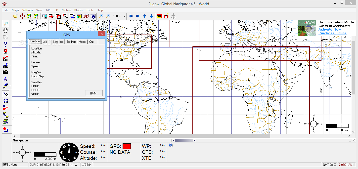
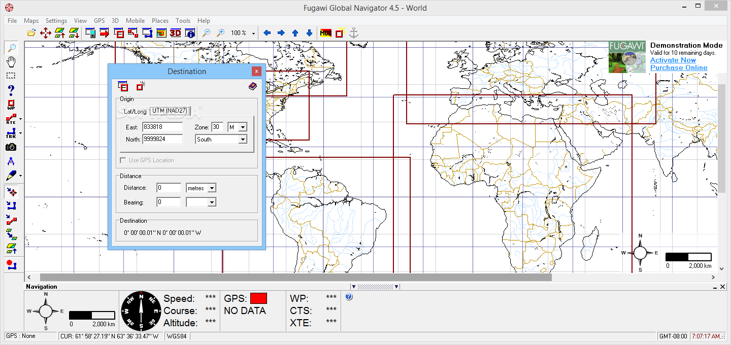
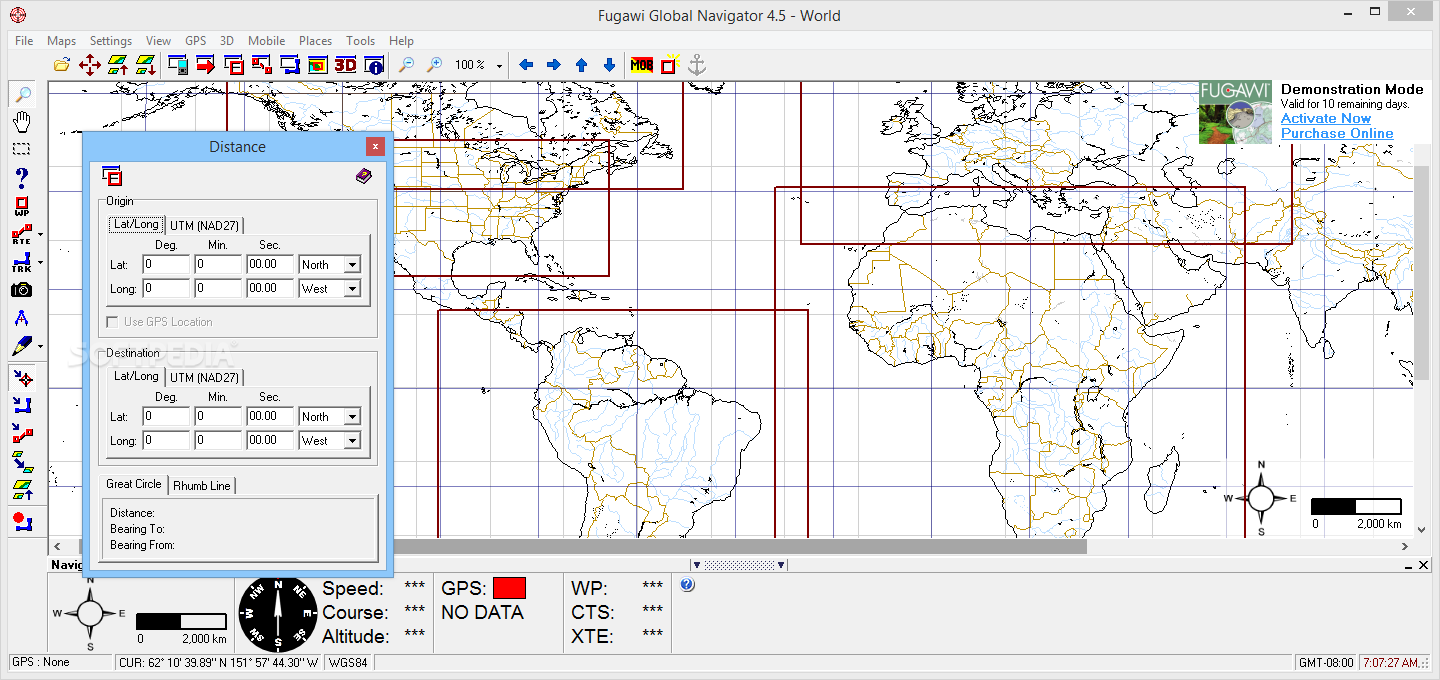
Full navigational features: speed, waypoints, routes, distance to go, course to steer, magnetic and true courses
Show your track and current location on the screen
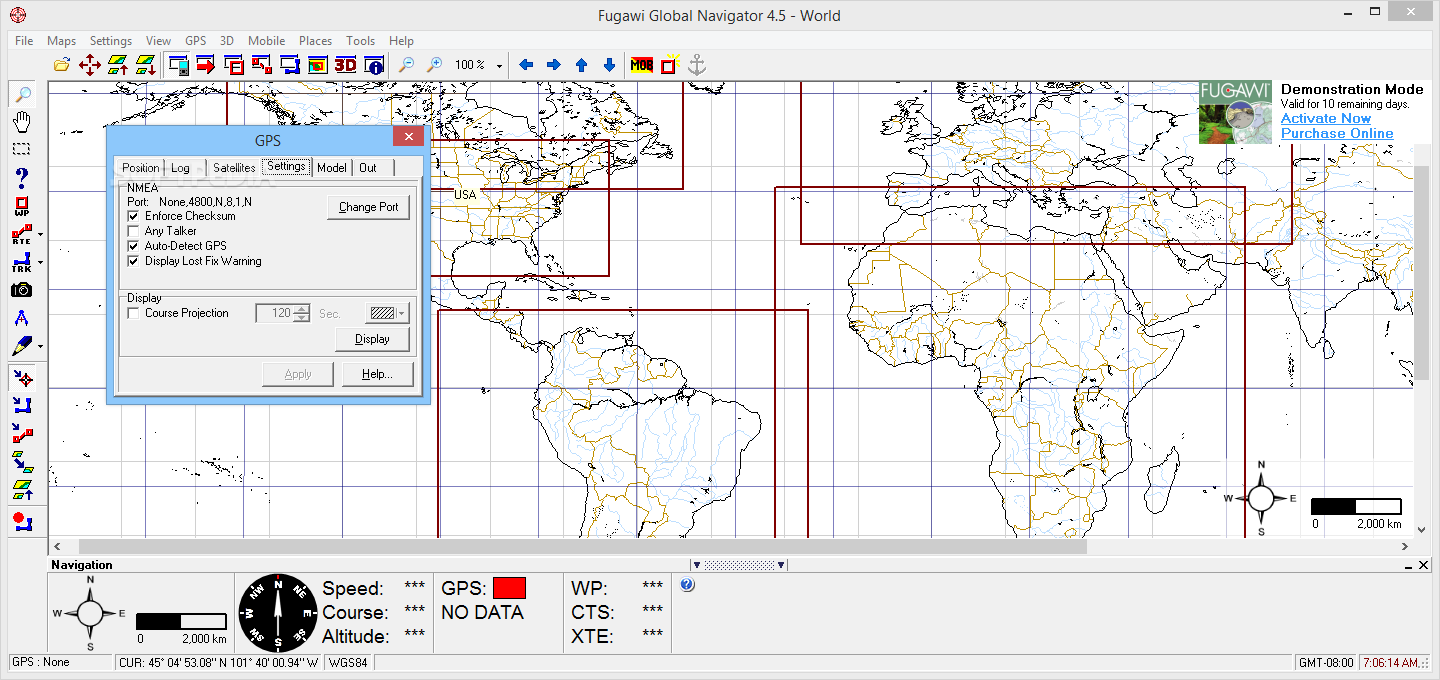
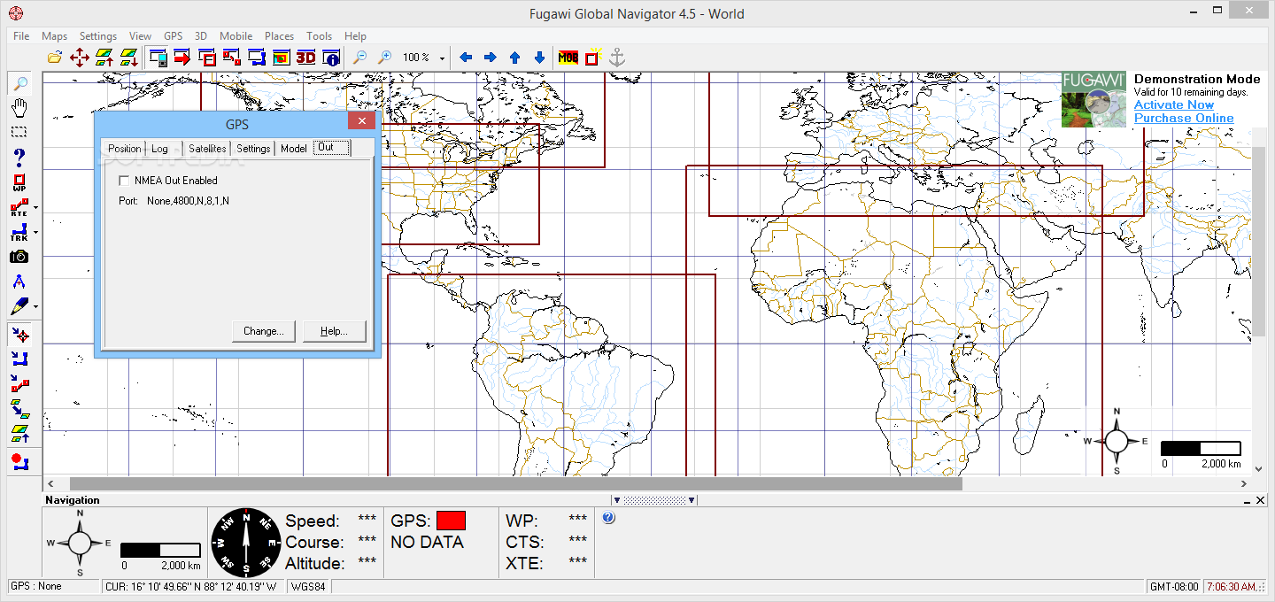
NMEA autopilot support
View the map north-up, map-up, or course-up
Loads appropriate map from your own digital map library as you travel
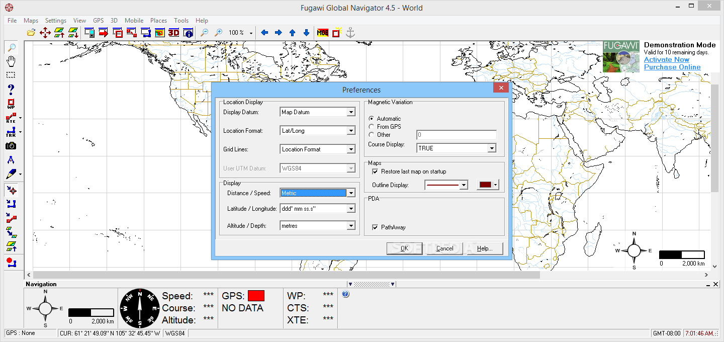
Choose from imperial, metric, or nautical display units
Draw tracks and routes freehand
Optimize the number of track points (based on user-specified tolerance) with Smart Track Reduction
View elevations and profiles of your route
Link digital photos and sounds to the map
Calculate areas
Exports waypoints and tracks with UTM coordinates or Latitude and Longitude
Day, dusk and night vision display
Determine Sunrise and Sunset for any location and date
Display latitude/longitude, UTM, or other region specific grid lines
Geocaching support - click on a map to see local Geocaching sites
Supports grids from: Australia, Belgium, Canada, Finland, Germany, Iceland, Ireland, Israel, Netherlands, New Zealand, Sweden (inc. SWEREF99), Switzerland, UK Ordnance Survey, Military Grid Reference System (MGRS) and UTM.
Optimize the number of track points (based on user-specified tolerance) with Smart Track Reduction
Loads appropriate map from your own digital map library as you travel
Supports ESRI Shapefile (.SHP) format export of Waypoints, Routes and Tracks
Supports GPS Exchange (GPX) format import and export of Waypoints, Routes and Tracks
Supports Google Earth KML files for import/export of Waypoints, Routes and Tracks
Supports Google KMZ files for import/export of Waypoints, Routes and Tracks (and Photo Waypoints)
Supports Swiss Map Trails in XOL format
Distance and bearing measurement tool
Fugawi Pace Names** lookup - find a name and click to autoload a map
Plot Fugawi Place names on an open map
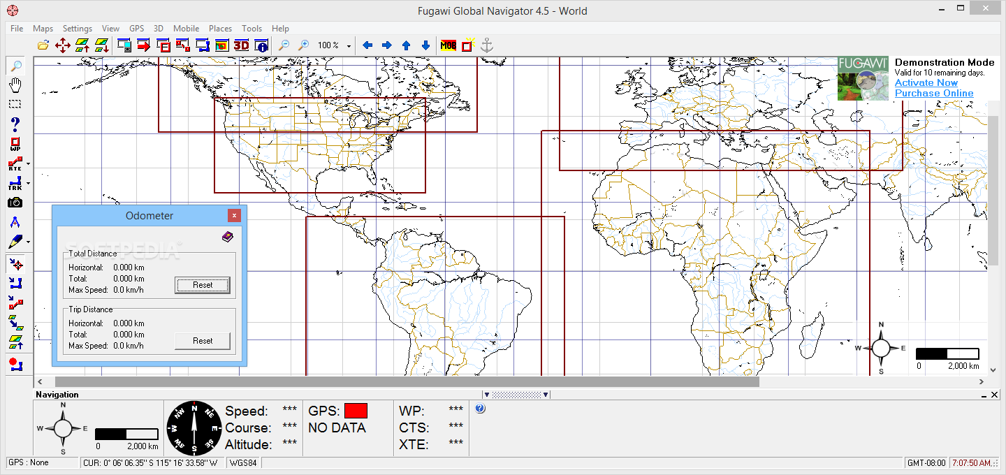
Built-in Odometers and Trip Odometers to calculate distance traveled
Where to buy?
Last updated price and discount information 9 years agoupdate now


 Windows 7 and above
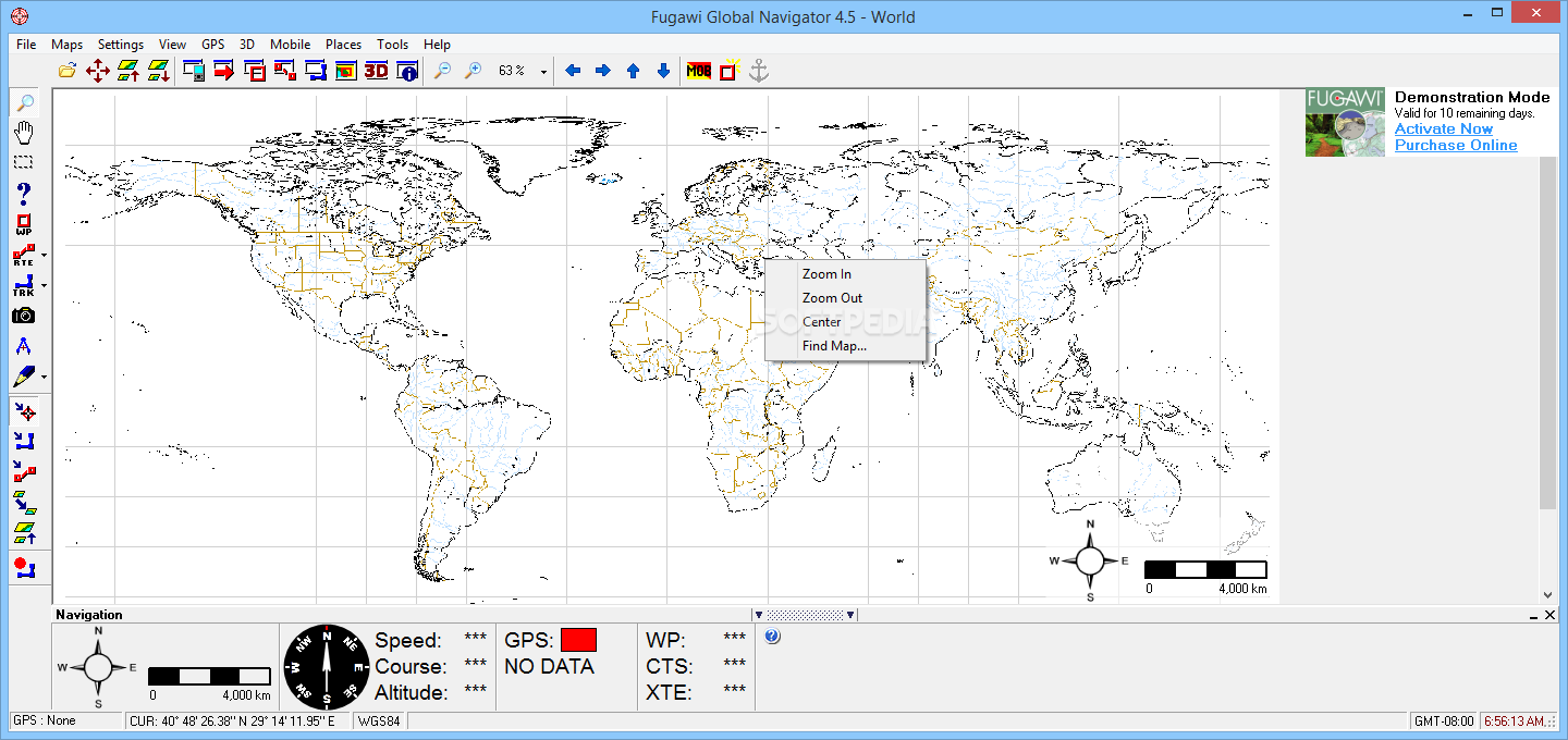
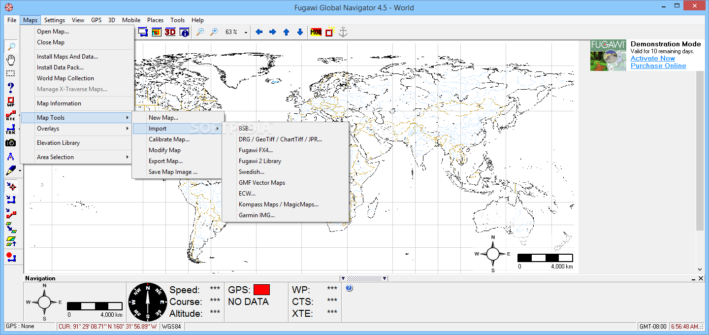
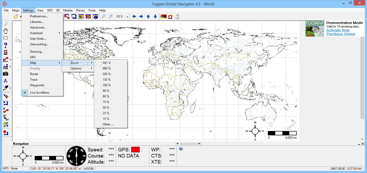
 View Screenshots(18)
 Comments
 Download


 Similar Software
 Recently Searched
 Software Categories
 Trending Software


 Like Us


