Version: 1.4 Last Updated: 17 Apr 2017 Release: 03 Feb 2012 Category: Others > Miscellaneous
Rate this software:
139 downloads
View Screenshots(3)
Comments
Download
Liked it? Tell others:
GE-Path Details
Works on: Windows 10 | Windows 8.1 | Windows 8 | Windows 7 | Windows 2012 SHA1 Hash: df3b9dd06f0237ffa781ca8b12bd65519e124cc5 Size: 3.08 MB File Format: zip
Rating: 2.0
out of 5
based on 23 user ratings
Downloads: 139 License: Free
GE-Path is a free software by Ricardo Sgrillo and works on Windows 10, Windows 8.1, Windows 8, Windows 7, Windows 2012.
You can download GE-Path which is 3.08 MB in size and belongs to the software category Miscellaneous. GE-Path was released on 2012-02-03 and last updated on our database on 2017-04-17 and is currently at version 1.4.
Thank you for downloading from SoftPaz! Your download should start any moment now. It would be great if you could rate and share:
Rate this software:
Share in your network:
GE-Path Description
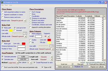
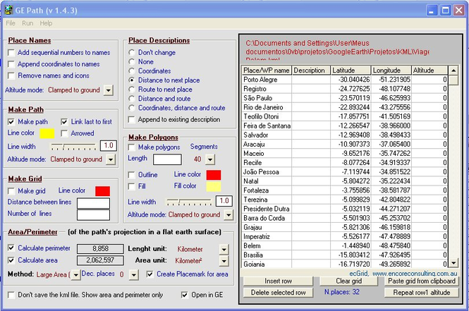
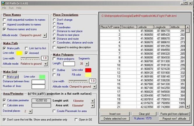
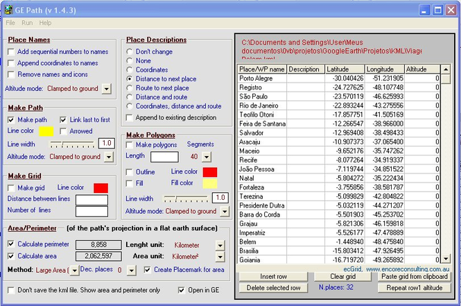
GE-Path was developed to make paths and/or draw circles and polygons with place marks saved by Google Earth. The data can also be typed into the application or pasted/exported to the clipboard. Files generated by GE-Path are exported to Google Earth.
Read kml file saved by Google Earth
Link the placemarks (simple or arrowed lines)
Add sequential numbers and/or append the coordinates to the placemark's names
Calculate distances between placemarks
Calculate route (bearing) to the next placemark
Add distances, routes and/or coordinates to the placemarks description
Draw horizontal and/or vertical grids (equally spaced or not)
Draw regular polygons around placemarks
Calculate path's length/perimeter
Calculate the area delimited by several placemarks (or by path waypoints)
Save the resulting kml file and export it to Google Earth
Save data as txt (comma delimited)
Copy from clipboard
Export data to Excel
Directly input edit data
Sort and edit data
Fill polygon
Choose line width for path and polygon
Automatic set (and restore on exit) the decimal separator (if necessary)
Use of altitude for place names/icons, path and polygons
Compatible with Google Earth version 6



 Windows 7 and above
 View Screenshots(3)
 Comments
 Download




 Similar Software


 Recently Searched
 Software Categories
 Trending Software
 Like Us


