Works on: Windows 10 | Windows 8.1 | Windows 8 | Windows 7 | Windows XP | Windows 2000 | Windows 2003 | Windows 2008 | Windows Vista | Windows 2012 SHA1 Hash: 75c71ec7e760bd893775157b25d03f676b02ea60 Size: 28.25 MB File Format: exe
Rating: 1.869565217
out of 5
based on 23 user ratings
Downloads: 453 License: Free
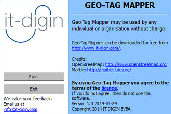
Geo-Tag Mapper is a free software by IT-DIGIN BVBA and works on Windows 10, Windows 8.1, Windows 8, Windows 7, Windows XP, Windows 2000, Windows 2003, Windows 2008, Windows Vista, Windows 2012.
You can download Geo-Tag Mapper which is 28.25 MB in size and belongs to the software category Graphic. Geo-Tag Mapper was released on 2014-06-24 and last updated on our database on 2017-04-01 and is currently at version 1.1.
Thank you for downloading from SoftPaz! Your download should start any moment now. It would be great if you could rate and share:
Rate this software:
Share in your network:
Geo-Tag Mapper Description
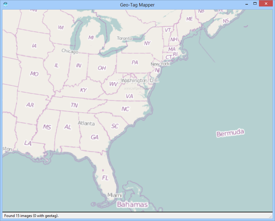
Geo-Tag Mapper is a user-friendly piece of software whose main purpose is to help you organize and preview your holiday snapshots and all your favorite photos, according to the geo-tag each item has attached.
The program is fairly simple to work with, requiring very little experience or knowledge in geo-tagging. After its uneventful installation operation, you can launch the application and press on the 'Start' button, which will prompt you to select the directory that you want to analyze.
Geo-Tag Mappersupports all the popular image formats, meaning that regardless of the type of files you have on your computer, the tool will be able to analyze their properties and determine whether they have a geo-tag.
You can choose a directory as large as you like and after scanning its contents, Geo-Tag Mapper will display all the detected pictures on a world map. By clicking on the placemark, you can preview a thumbnail of your photo. Note, however, that the files with no geo-tag will not be displayed anywhere, so this utility only works if you have this feature enabled in your camera.
The program is quite useful when your image folders are rather messy and cluttered, making it difficult for you to know from which holiday each one is. After sorting the pictures according to their geo-tag, you will be able to show your friends or family only the ones from your latest adventure, leaving older ones for some other time. Moreover, the application can also prove quite handy if you have found an image on the Internet of a beautiful place you would like to visit, but are unable to learn its geographical location, due to a lack of description or other reasons.
To conclude, Geo-Tag Mapper is an interesting and easy to use tool that provides you with the ability to view your favorite photos sorted by the geographical tag, representing the city or region they were snapped in.


 Windows XP and above
 View Screenshots(2)
 Comments
 Download


 Similar Software
 Recently Searched
 Software Categories
 Trending Software

 Like Us


