Works on: Windows 10 | Windows 8.1 | Windows 8 | Windows 7 | Windows XP | Windows 2000 | Windows 2003 | Windows 2008 | Windows Vista | Windows 2012 SHA1 Hash: 3e1dede6171db336e045ee72468e9997a5360aae Size: 17.47 MB File Format: exe
Rating: 2.347826086
out of 5
based on 23 user ratings
Downloads: 1305 License: Free
GeoMapApp is a free software by William Haxby and works on Windows 10, Windows 8.1, Windows 8, Windows 7, Windows XP, Windows 2000, Windows 2003, Windows 2008, Windows Vista, Windows 2012.
You can download GeoMapApp which is 17.47 MB in size and belongs to the software category Science CAD. GeoMapApp was released on 2011-12-08 and last updated on our database on 2017-03-03 and is currently at version 3.1.
Thank you for downloading from SoftPaz! Your download should start any moment now. It would be great if you could rate and share:
Rate this software:
Share in your network:
GeoMapApp Description
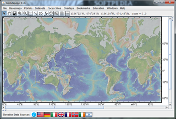
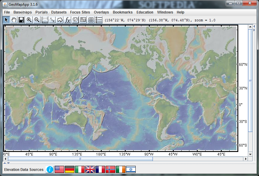
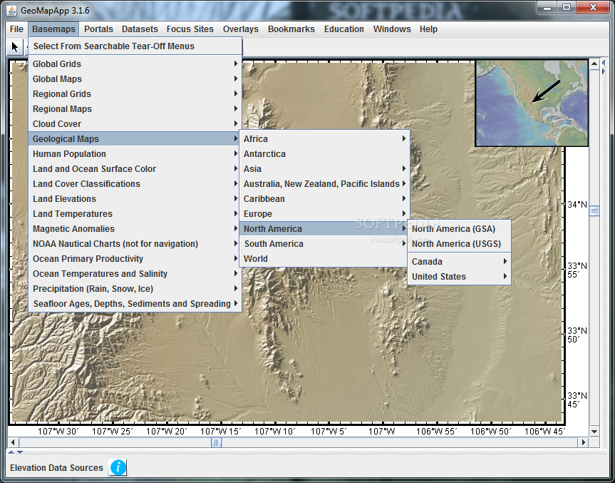
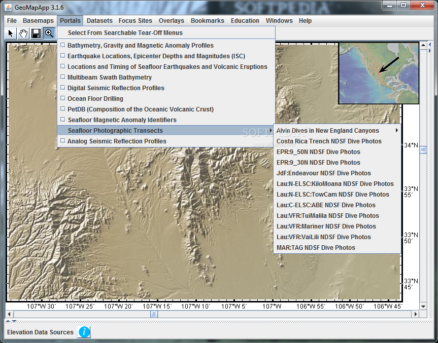
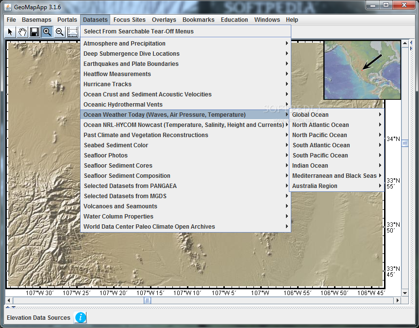
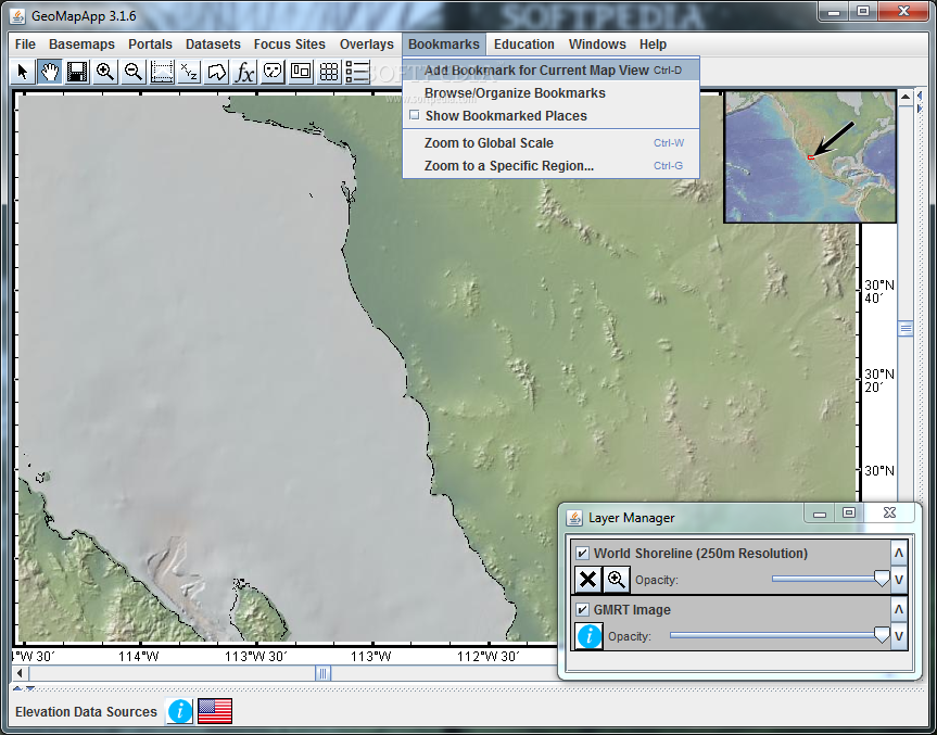
GeoMapApp is an earth science exploration and visualization application that is continually being expanded as part of the Marine Geoscience Data System (MGDS) at the Lamont-Doherty Earth Observatory of Columbia University.
This powerful program provides direct access to the Global Multi-Resolution Topography (GMRT) compilation. The database hosts high resolution (~100 m node spacing) bathymetry from multibeam data for ocean areas and ASTER (Advanced Spaceborne Thermal Emission and Reflection Radiometer) and NED (National Elevation Dataset) topography datasets for the global land masses.System requirementsJava 1.5.0_08 or higher


 Windows XP and above
 View Screenshots(7)
 Comments
 Download


 Similar Software
 Recently Searched
 Software Categories
 Trending Software
 Like Us


