
Geomatica FreeView Description
Geomatica FreeView is an advanced software application whose purpose is to help you view and analyze satellite and aerial imagery. The built-in viewer is able to open more than 100 raster and vector formats, and comes packed with advanced functions like image enhancements.
Geomatica FreeView represents the free version of Geomatica, the well-known geospatial program developed by PCI Geomatics. It is actually a part of Geomatica, specialized on delivering powerful geospatial viewing capabilities.
Importing options
The utility offers support for a wide range of file formats, such as PIX, DRI, APR, GRD, SHP, DXF, XML, DB, HDR, CAT, DAT, IMG, GML, NTF, and ORB. In addition, you can get data from other provider websites.
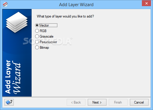
A wizard-like approach is implemented for helping you add layers from other GDB-supported data sets. You are allowed to insert vector, RGB, grayscale, pseudocolor, and bitmap layers to a project.
Clean feature lineup
Geomatica FreeView reveals a well-structured suite of features but you still need to dedicate some of your time to discover them. A thorough help manual is included in the package in case you need assistance with the configuration parameters.
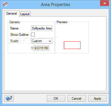
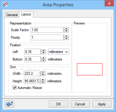
A new project may contain multiple maps. Each map stores information about the images, surrounds and indexes of your data. Plus, you can work with areas that include several layers and segments for a geographical region.
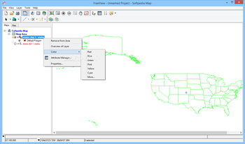
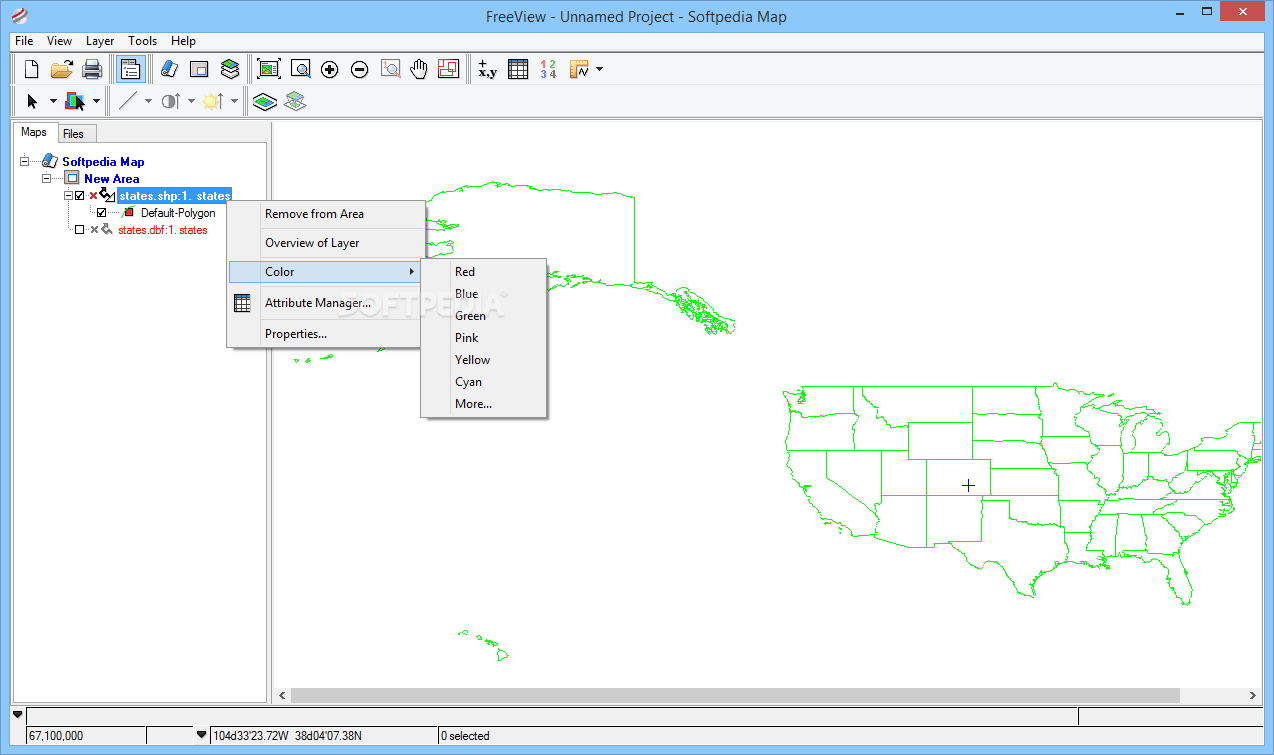
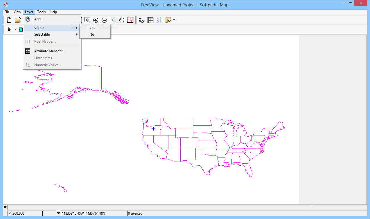
You can set up layer priorities, view auxiliary data embedded in PIX files in a tree-like display, add image channels, and adjust data properties of the map, area, RGB layer, vector layer, and other elements.
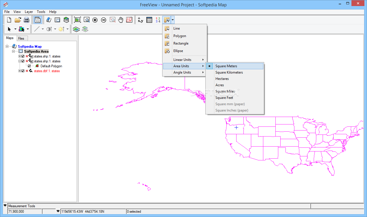
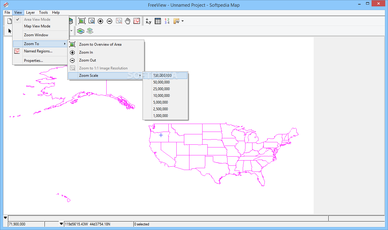
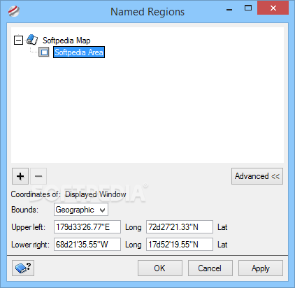
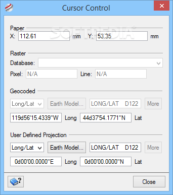
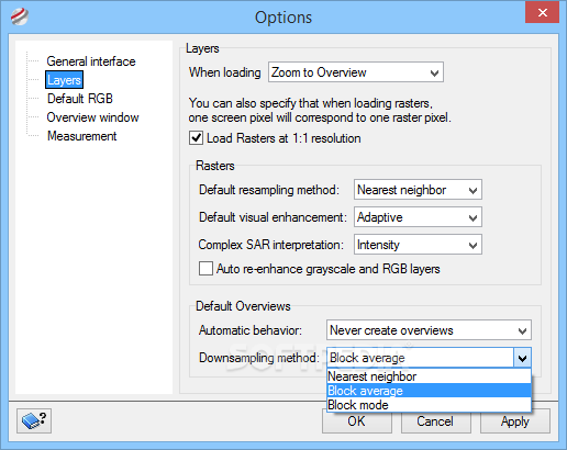
Several viewing functions can be used for zooming in or out of the working environment, creating a custom view of your map with a user-defined name, enabling a layout grid, and analyzing a smaller version of an image in the overview panel.
Visualization tools
There are several visualization utilities that you can make use of, namely Flicker, Swipe, Blend, and Loop. In addition, you can work with a thumbnail viewer for observing raster data layers and analyze the information with a 3D data cube that displays a three-dimensional data model.
Other important features
Geomatica FreeView helps you perform conversions between different formats (e.g. RGB, RST, SYM, PCT, Bitmap), create subsets of a large database, merge a group of files, regardless of bounds, projection, data type, or resolution into a single output item, work with various algorithms (e.g. image, vector, radar, spatial) for performing analysis, classification, or processing tasks, as well as print maps or export an image of the current view to KML or KMZ format.
Rock-solid geospatial browser
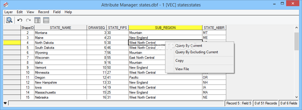
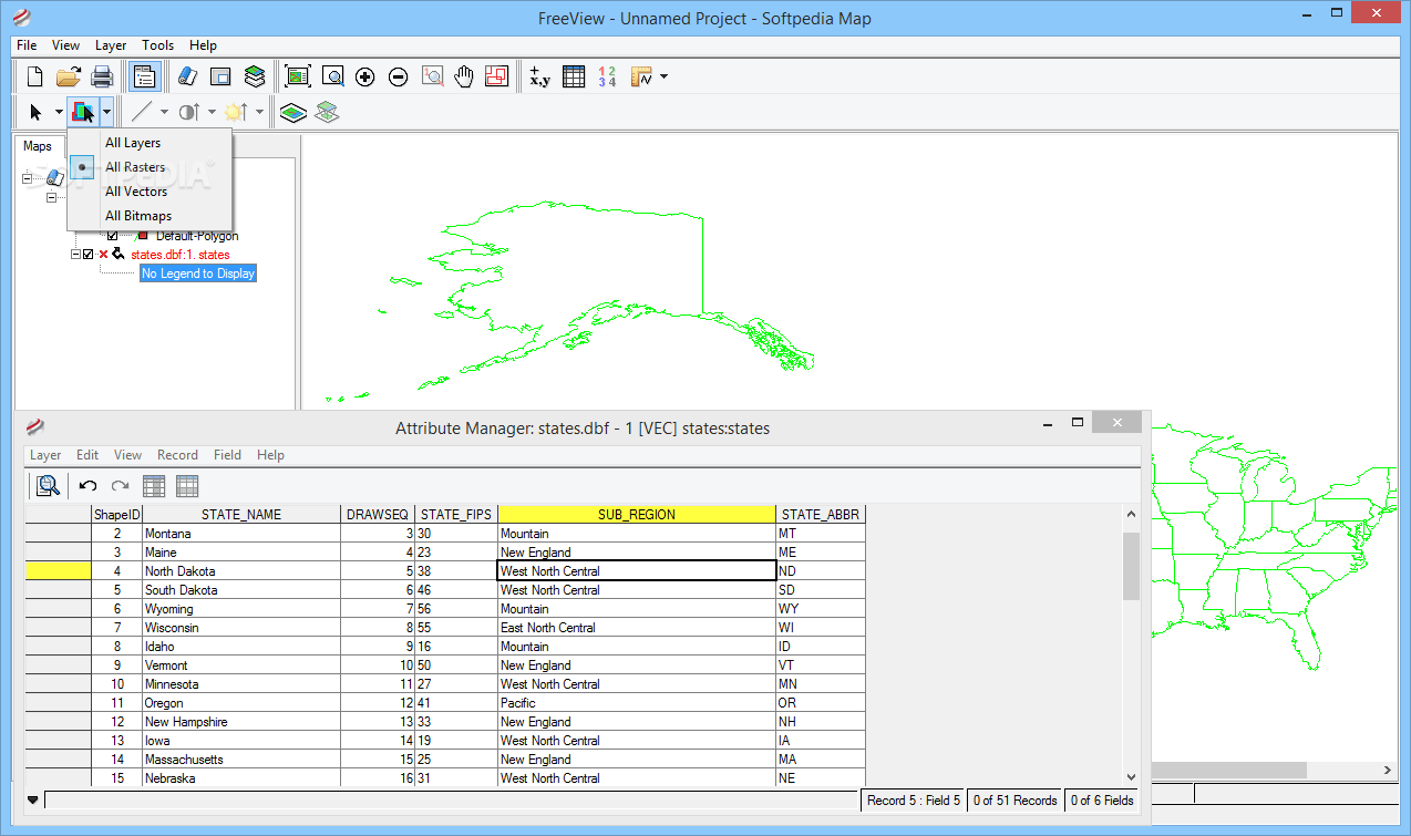
The final verdict is that Geomatica FreeView comes with a comprehensive suite of features for loading and exploring multiple types of satellite images and geospatial data. It’s got all you need for visualizing data, such as fast zooming options, image enhancements, numeric values, and attribute table display.


 Windows 7 and above
 View Screenshots(15)
 Comments
 Download


 Similar Software
 Recently Searched
 Software Categories
 Trending Software


 Like Us


