Works on: Windows 10 | Windows 8.1 | Windows 8 | Windows 7 | Windows 2012 SHA1 Hash: 8fcf8870dd0d3010d1e9fc68532e531dd1102d67 Size: 8.38 KB File Format: jnlp
Rating: 2.608695652
out of 5
based on 23 user ratings
Publisher Website: External Link Downloads: 385 License: Free
Geopublisher is a free software by Geopublishing.org and works on Windows 10, Windows 8.1, Windows 8, Windows 7, Windows 2012.
You can download Geopublisher which is 8.38 KB in size and belongs to the software category Miscellaneous. Geopublisher was released on 2014-05-27 and last updated on our database on 2017-03-31 and is currently at version 1.9.
Thank you for downloading from SoftPaz! Your download should start any moment now. It would be great if you could rate and share:
Rate this software:
Share in your network:
Geopublisher Description
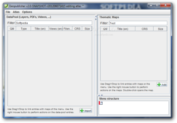
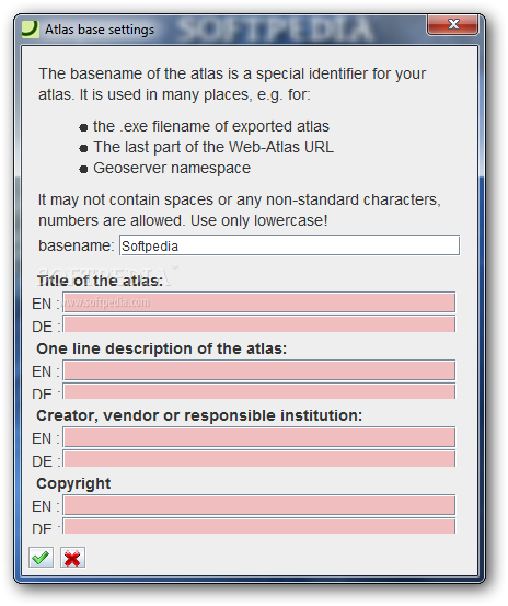
Geopublisher has been created as a tool for creating digital multimedia atlases, which can be anything from interactive maps to cases studies or presentation files rich in information offered in an interactive way, via explanatory links, text and graphics.
The application is Java-based, which makes it compatible with other operating systems as well, without chipping its features and functionality.
Works with multiple types of data
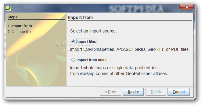
The set of data that can be used with Geopublisher is extensive and includes raster (ArcASCII and GeoTIFF) and vector (ESRI Shapefiles, OGC GML OGC WFS and PostGIS) formats along with multimedia files such as PDF, images and videos.
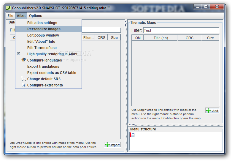
Cartographic styling can be done by importing XML files in OGC Styled Layer Descriptor/Symbology Encoding (OGC SLD/SE) format.
These are organized in layers and they can be linked to each other so that they are activated depending on the area clicked by the user. Each layer has its own title and description.
Most of the times the data can be loaded into the application by dragging and dropping it, which adds to its usability.
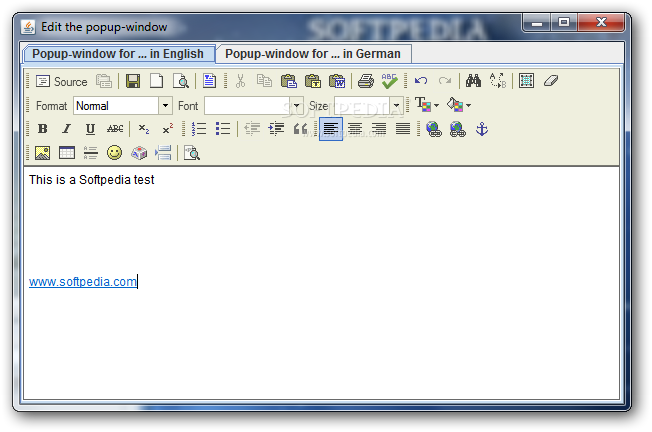
Add HTML content for an improved experience
The product also features HTML support, which can be used for creating brief explanations for the loaded map or providing a context for the matter that is to be presented.
These files can be instructed to load when a map is opened and there is the possibility to offer links to other elements in the atlas.
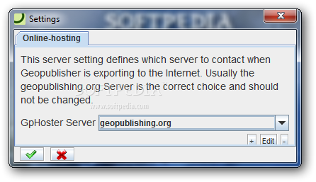
Once the atlas is created Geopublisher offers options for publishing it, either to an online repository or offline, to a user-defined location. Launching this sort of file does not require any installation process as long as Java is present on the system.
Comprehensive tool for creating interactive maps
Geopublisher is not too difficult to handle and it integrates a rich set of options for generating interactive presentations. It can compile geodata together with additional digital elements in order to provide more information on the matter at hand. However, keep in mind that the project no longer benefits from active development and some of the features may not work properly.


 Windows 7 and above
 View Screenshots(7)
 Comments
 Download


 Similar Software
 Recently Searched
 Software Categories
 Trending Software


 Like Us


