Name: Georeferenced Historical Vector Data 2000 Works on: Windows 7 and above
Developer:
Version: 1 Last Updated: 17 Apr 2017 Release: 13 Aug 2010 Category: Science CAD
Rate this software:
1109 downloads
View Screenshots(3)
Comments
Download
Liked it? Tell others:
Georeferenced Historical Vector Data 2000 Details
Works on: Windows 10 | Windows 8.1 | Windows 8 | Windows 7 | Windows 2012 SHA1 Hash: da33a2a0f7e817cecad58f56f9400d2ea4088e40 Size: 589.06 KB File Format: zip
Rating: 2.260869565
out of 5
based on 23 user ratings
Publisher Website: External Link Downloads: 1109 License: Demo / Trial Version
Georeferenced Historical Vector Data 2000 is a demo software by and works on Windows 10, Windows 8.1, Windows 8, Windows 7, Windows 2012.
You can download Georeferenced Historical Vector Data 2000 which is 589.06 KB in size and belongs to the software category Science CAD. Georeferenced Historical Vector Data 2000 was released on 2010-08-13 and last updated on our database on 2017-04-17 and is currently at version 1.
Thank you for downloading from SoftPaz! Your download should start any moment now. It would be great if you could rate and share:
Rate this software:
Share in your network:
Georeferenced Historical Vector Data 2000 Description
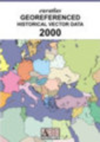
Euratlas Georeferenced Vector Data 2000
Draw your own map of Europe with shapefiles in every GIS software
The map consists of 16 layers.
all_countries
autonomous_peoples
cities
dioceses
holder_countries
provinces
sovereign_countries
big_rivers
fuzzy_borders
rivers
seas
mountains_200
mountains_500
mountains_1000
mountains_2000
mountains_3500
E-mail shipping
You will receive, after payment, a download link valid for 24 hours with login and password and your licence will be sent by post
Physical shipping
You will receive, in addition, a CD-ROM copy by post. Shipping and handling costs are 30 euros for all countries.
Where to buy?
Last updated price and discount information 9 years agoupdate now


 Windows 7 and above
 View Screenshots(3)
 Comments
 Download


 Similar Software
 Recently Searched
 Software Categories
 Trending Software


 Like Us


