Works on: Windows 10 | Windows 8.1 | Windows 8 | Windows 7 | Windows XP | Windows 2000 | Windows 2003 | Windows 2008 | Windows Vista | Windows 2012 SHA1 Hash: 44d3bd25676ddbe1cf099b3180464d1aaab70242 Size: 63.42 KB File Format: zip
Rating: 1.739130434
out of 5
based on 23 user ratings
Downloads: 1424 License: Free
GeoRefImg is a free software by CAD Studio a.s. and works on Windows 10, Windows 8.1, Windows 8, Windows 7, Windows XP, Windows 2000, Windows 2003, Windows 2008, Windows Vista, Windows 2012.
You can download GeoRefImg which is 63.42 KB in size and belongs to the software category Science CAD. GeoRefImg was released on 2014-04-08 and last updated on our database on 2017-03-30 and is currently at version 2.7.
Thank you for downloading from SoftPaz! Your download should start any moment now. It would be great if you could rate and share:
Rate this software:
Share in your network:
GeoRefImg Description
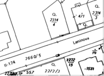
GeoRefImg is a tool specifically designed for AutoCAD usage to set the raster images in a drawing to a particular size and position.
This is achieved automatically according to the data specified in the images’ World files that are in charge with defining various parameters of a raster image, geo-position among them.
Installation quirks
Getting the utility on the system may not be the simplest job as the procedure has to be completed either using _APPLOAD or by manually placing the GeoRefImg folder into a particular location. Fortunately, the download includes complete instructions on how the task can be carried out.
Working with the plug-in
For AutoCAD professionals working with GeoRefImg should not present a challenge because once the GEOREFIMG command is executed the images have to be selected and the repositioning and scaling is done automatically according to the available parameters.
The utility can be used with raster images of the following types: TIF, CIT, JPG, JP2, PNG, GIF, BMP, ECW, SID and works with World files such as TFW, TFWx, JGW, JPW, PGW, GFW, BPW, SDW, EWW or WLD.
If the tool does not update some of the images it’s because it checks the World file format and it deemed there is something wrong with it. However, in this case the tolerance needs to be adjusted to more lax values for everything to work fine.
Conclusion
GeoRefImg may be a nifty plug-in for AutoCAD users as it automates the process of scaling the raster images to the scale in the drawing. It works with most AutoCAD versions and a complete usage guide as well as installation istructions are provided in the downloaded archive.


 Windows XP and above
 View Screenshots(1)
 Comments
 Download


 Similar Software
 Recently Searched
 Software Categories
 Trending Software
 Like Us


