Works on: Windows 10 | Windows 8.1 | Windows 8 | Windows 7 | Windows XP | Windows 2000 | Windows 2003 | Windows 2008 | Windows Vista | Windows 2012 SHA1 Hash: f49618c042eb720e7fab366d20f16571c453d1a2 Size: 21.71 MB File Format: exe
Rating: 1.739130434
out of 5
based on 23 user ratings
Publisher Website: External Link Downloads: 558 License: Free
GeoSetter is a free software by Friedemann Schmidt and works on Windows 10, Windows 8.1, Windows 8, Windows 7, Windows XP, Windows 2000, Windows 2003, Windows 2008, Windows Vista, Windows 2012.
You can download GeoSetter which is 21.71 MB in size and belongs to the software category Graphic. GeoSetter was released on 2015-06-16 and last updated on our database on 2017-04-06 and is currently at version 3.4.
Thank you for downloading from SoftPaz! Your download should start any moment now. It would be great if you could rate and share:
Rate this software:
Share in your network:
GeoSetter Description
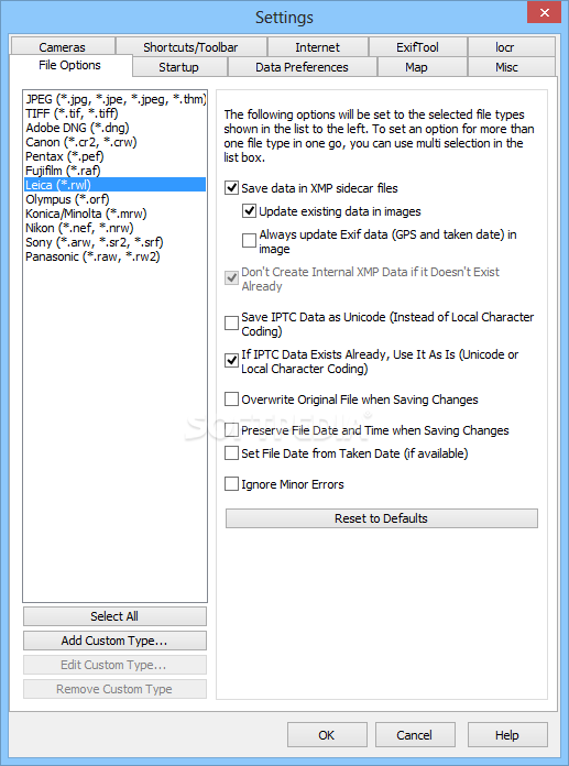
Reads and writes the formats JPEG and TIFF as well as camera RAW formats DNG (Adobe), CRW and CR2 (Canon), NEF (Nikon), MRW (Konica Minolta), PEF (Pentax), ORF (Olympus) and RAF (Fujifilm)
Uses ExifTool from Phil Harvey for writing data
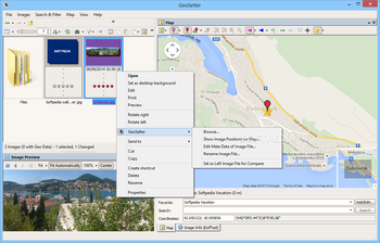
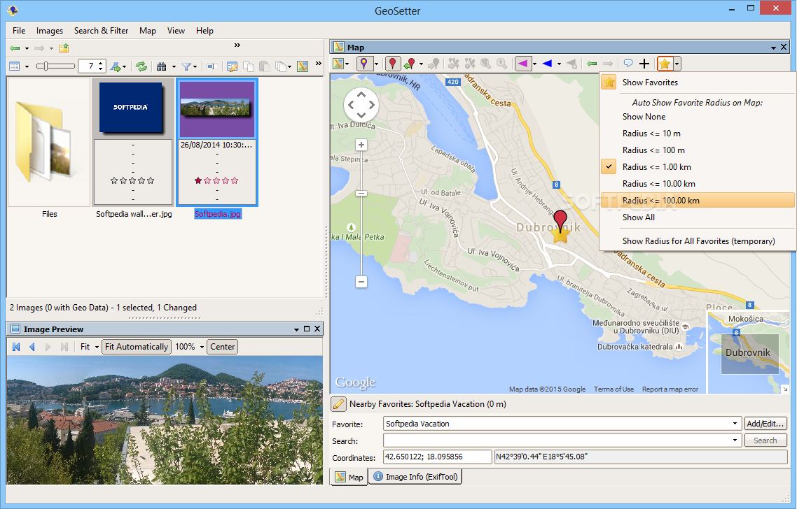
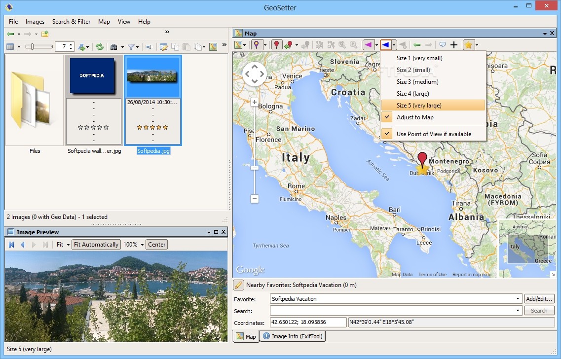
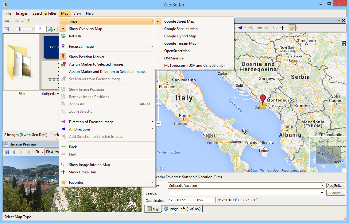
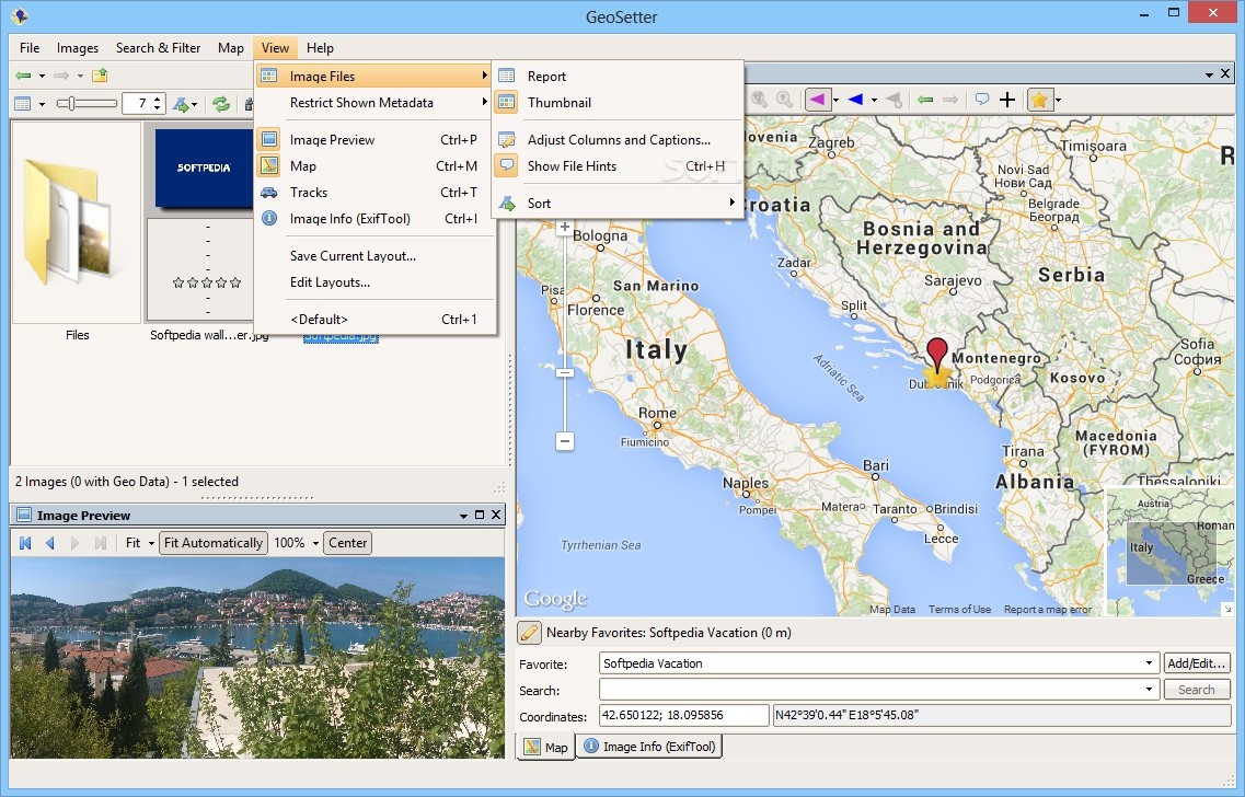
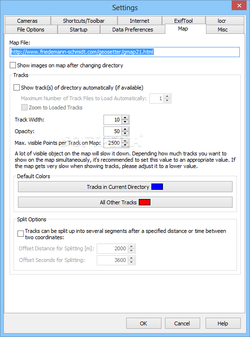
Shows existing geo coordinates and tracks on embedded Google Maps map (requires internet connection)
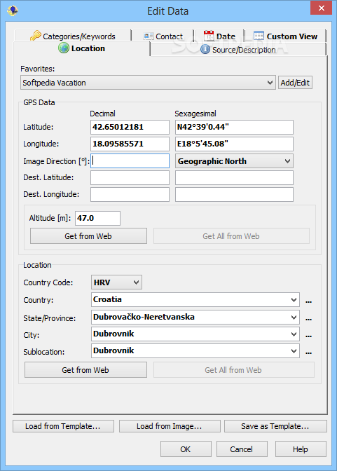
Setting geo data by using embedded Google Maps map (requires internet connection) or by entering known values for coordinates and altitude directly
Automatic filling of location IPTC fields and altitude values (requires internet connection)
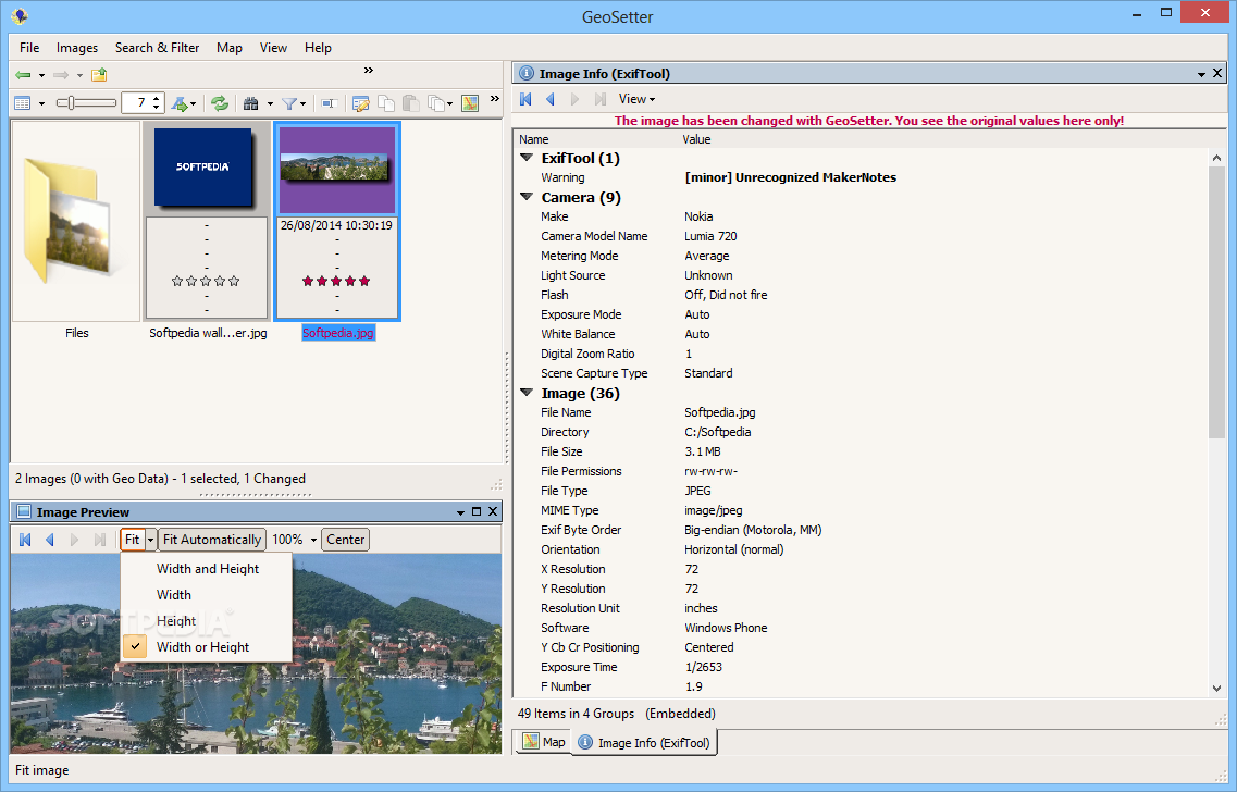
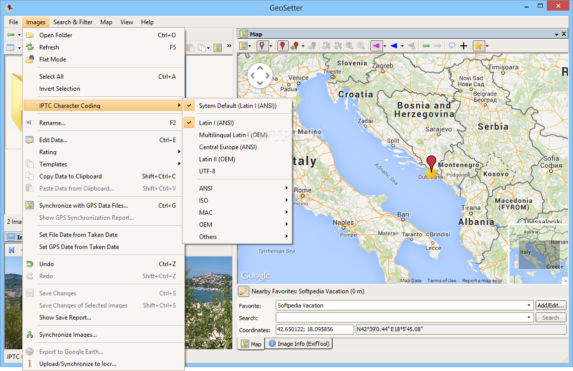
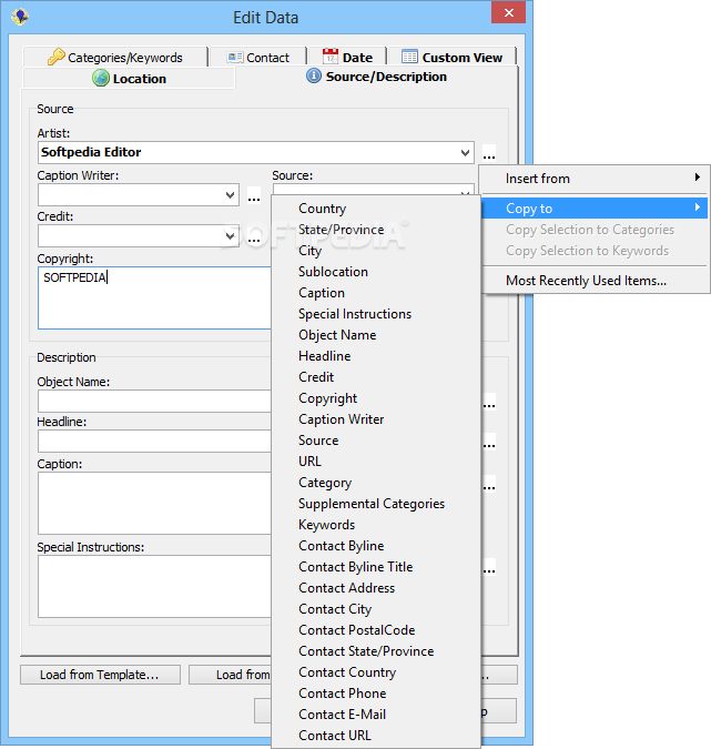
Editable IPTC data (IPTC-NAA/XMP)
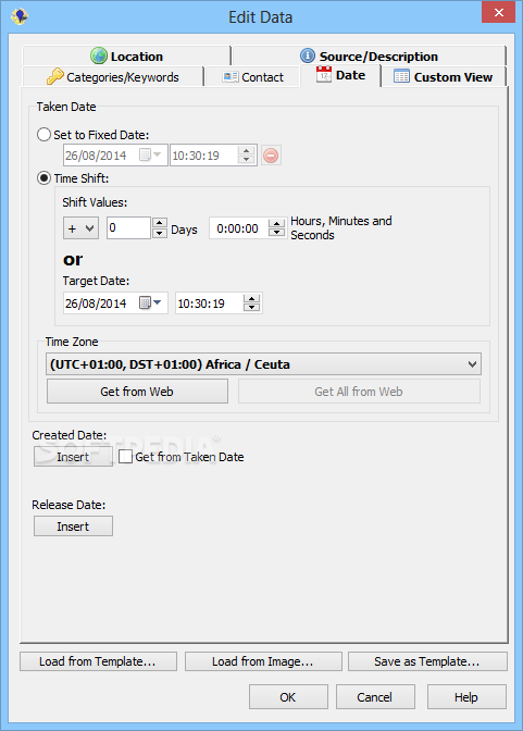
Possibilty to change taken date of images
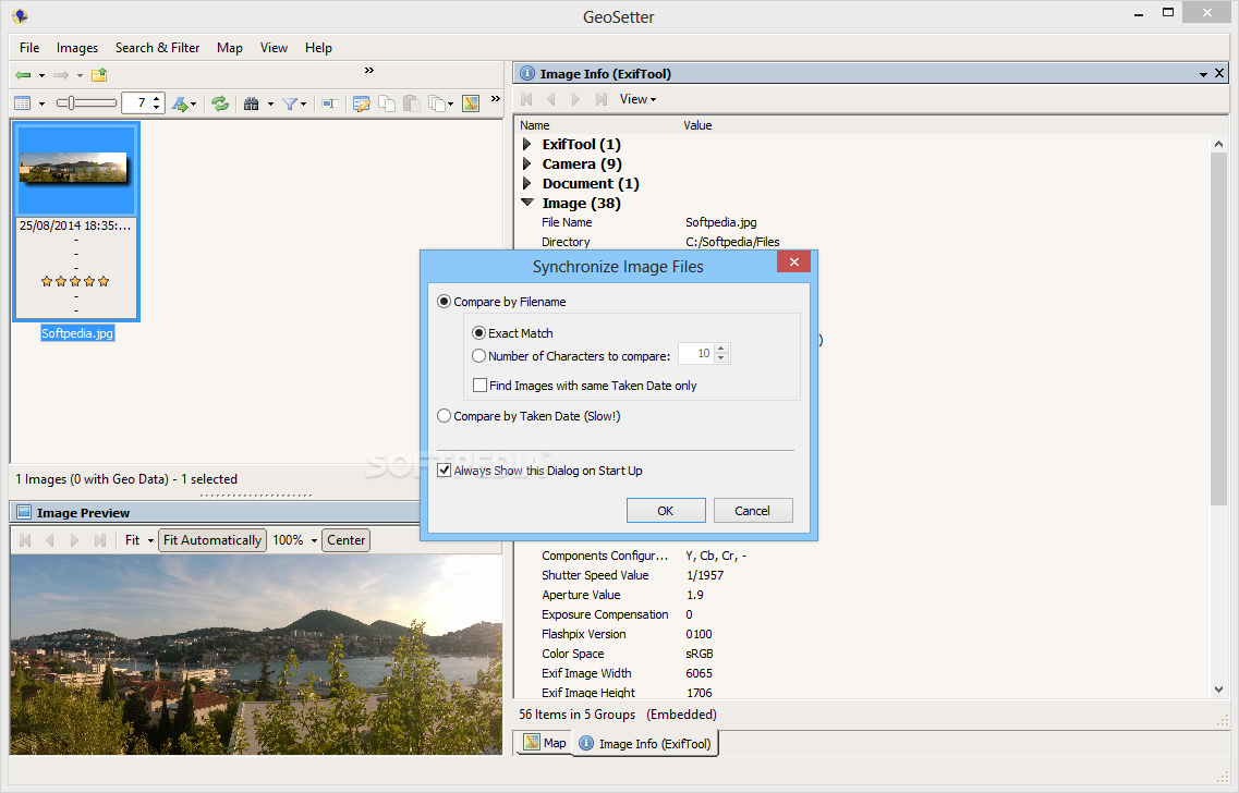
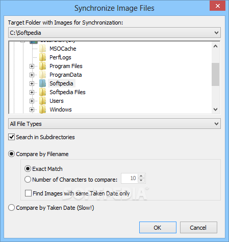
Synchronization with track files (NMEA, GPX, PLT and Sony LOG)
Synchronization with already geo tagged images with buddy images (e.g. between RAW images and their corresponding JPEG images)
Localizable user interface - English, German, French, Italian, Swedish, Czech, Spanish and Russian language is available at the moment


 Windows XP and above
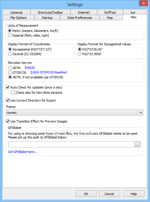
 View Screenshots(21)
 Comments
 Download


 Similar Software
 Recently Searched
 Software Categories
 Trending Software

 Like Us


