Works on: Windows 10 | Windows 8.1 | Windows 8 | Windows 7 | Windows 2012 SHA1 Hash: 12cd6a1c1c260450ce926bf588fc3a4ca2b43d4d Size: 13.99 MB File Format: msi
Rating: 2.391304347
out of 5
based on 23 user ratings
Publisher Website: External Link Downloads: 576 License: Demo / Trial Version
GeoTagEd is a demo software by Dehzad and works on Windows 10, Windows 8.1, Windows 8, Windows 7, Windows 2012.
You can download GeoTagEd which is 13.99 MB in size and belongs to the software category Graphic. GeoTagEd was released on 2016-03-01 and last updated on our database on 2017-04-12 and is currently at version 1.1.
Thank you for downloading from SoftPaz! Your download should start any moment now. It would be great if you could rate and share:
Rate this software:
Share in your network:
GeoTagEd Description
If you are the kind of person who likes to add a location to the story but feel like including a map would just take the charm away, then one solution would be to consider geotagging or mapping photos.
GeoTagEd is a piece of software that enables you to add and edit the geocode for your pictures and hence, use GPS coordinates to improve your photo sharing experience.
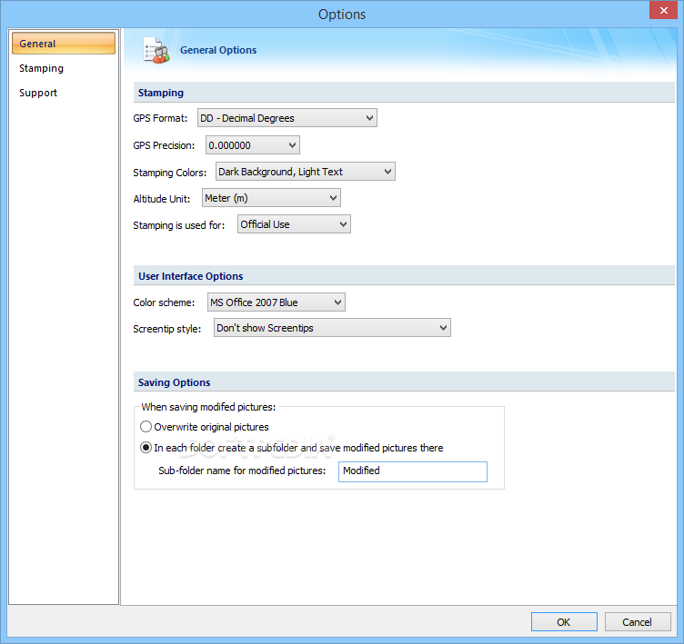
Comes with a user-friendly interface
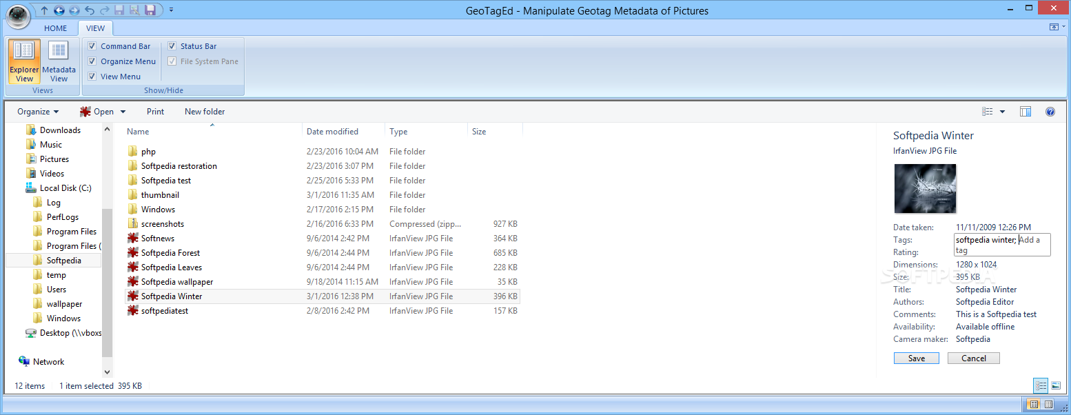
The program comes with a ribbon-like interface, so navigating or learning how to use the functions you need to tag your photos is a straightforward process. It is necessary to mention that the application comes with an explorer view that enables you to browse quickly through the files and folders on your computer.
Moreover, you can use the filter functions to find and view TIFF or JPEG files only. It would have been useful if the tool supported more file formats, particularly those distinct to mobile devices.
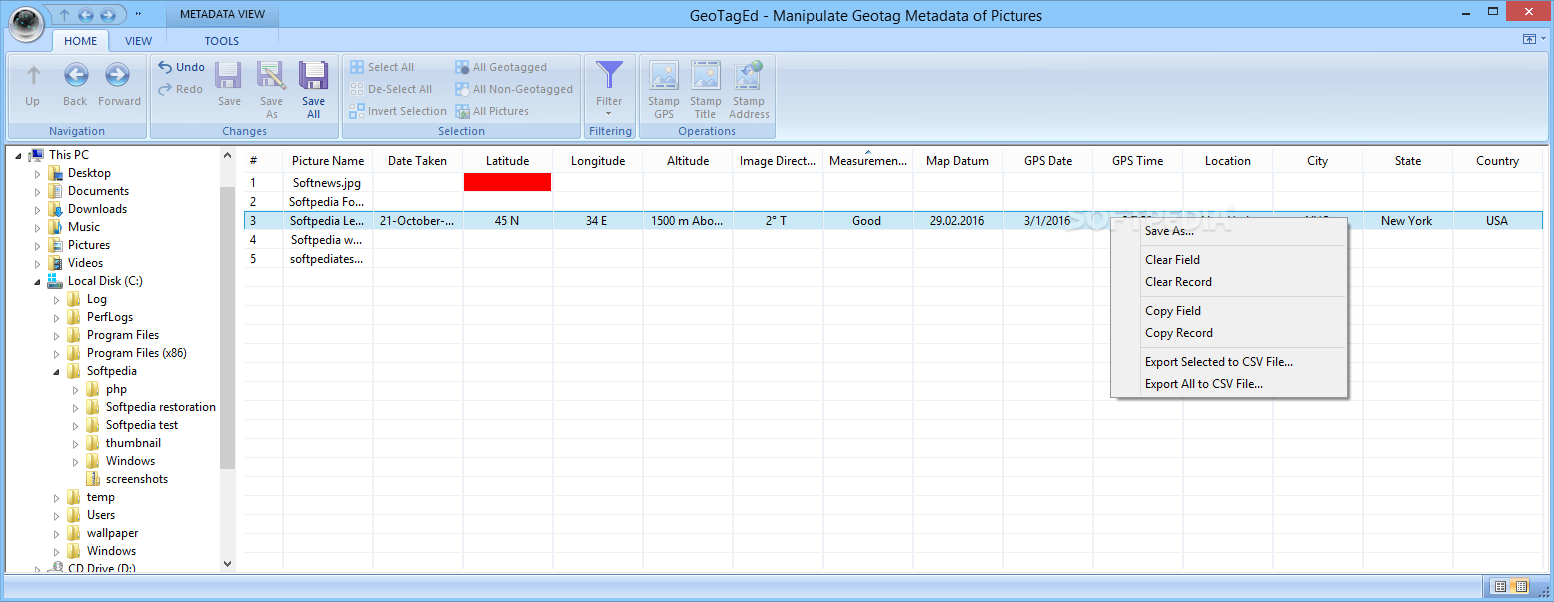
The utility also includes a metadata view where you can add and edit data associated with the location where you took it. More precisely, you can add the date it was taken, latitude, longitude, altitude, map datum, GPS date and time, city, date and the country where you shoot the picture.
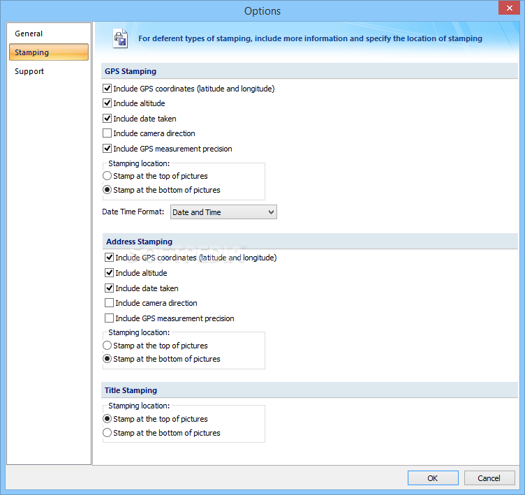
Enables you to reverse the geocoding
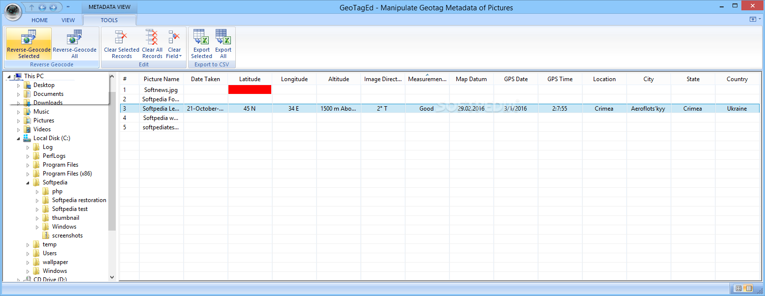
You should know that if you switch to the metadata view, the app displays a few extra tools for adding the geotagging. Reversing the geocoding is one of the functions available, an option that can be useful to identify nearby street addresses, places, neighborhoods or regions for instance. Then again, you should keep in mind that you are required to know the coordinates (longitude, latitude and altitude) for this purpose.
Further noteworthy features include the GPS, address and title stamping, an operation that provides your pictures with a label where you can add a description for your pictures. In fact, you can incorporate these details on top or the bottom of the picture, depending on your preferences.
An efficient tool suitable for travel bloggers
In the eventuality that you are a travel blogger or you simply want to include this information on your pictures so your audience can identify locations and places faster, then perhaps GeoTagEd might come in handy.
Where to buy?
Last updated price and discount information 9 years agoupdate now


 Windows 7 and above
 View Screenshots(6)
 Comments
 Download


 Similar Software
 Recently Searched
 Software Categories
 Trending Software


 Like Us


