Works on: Windows 10 | Windows 8.1 | Windows 8 | Windows 7 | Windows XP | Windows 2000 | Windows 2003 | Windows 2008 | Windows Vista | Windows 2012 File Format: exe
Rating: 2.260869565
out of 5
based on 23 user ratings
Downloads: 451 License: Free
GeoViewer is a free software by lizardtech and works on Windows 10, Windows 8.1, Windows 8, Windows 7, Windows XP, Windows 2000, Windows 2003, Windows 2008, Windows Vista, Windows 2012.
You can download GeoViewer which is 432.26 KB in size and belongs to the software category Graphic. GeoViewer was released on 2012-12-26 and last updated on our database on 2017-03-21 and is currently at version 5.5.
We also have GeoViewer 64bit version which is 432.26 KB in size and will work on x64 computers.
Thank you for downloading from SoftPaz! Your download should start any moment now. It would be great if you could rate and share:
Rate this software:
Share in your network:
GeoViewer Description
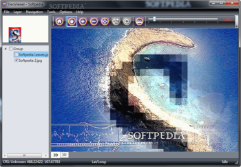
GeoViewer is a graphic viewer designed specifically for helping you explore geospatial data, vector overlays and LiDAR data files.
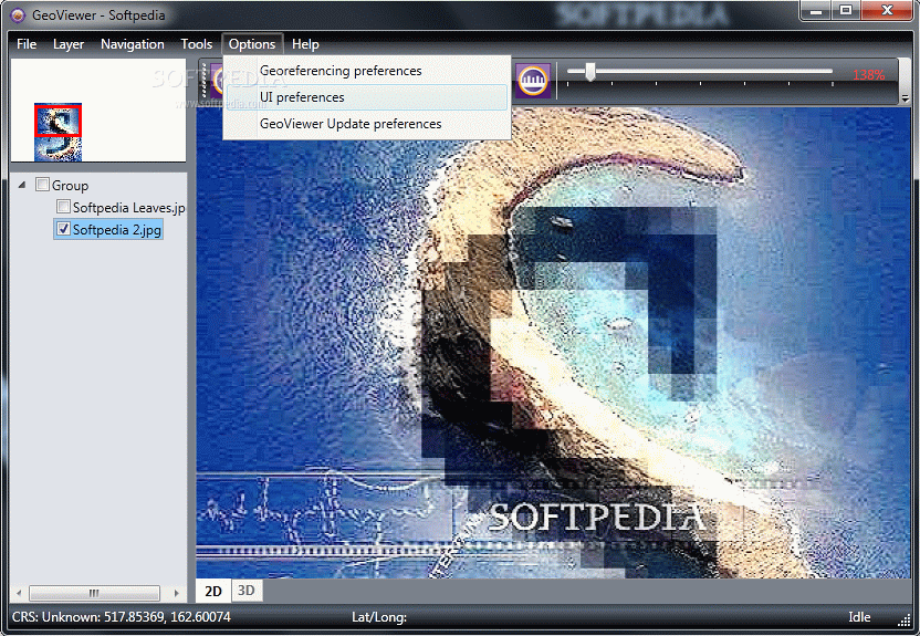
Different view modes
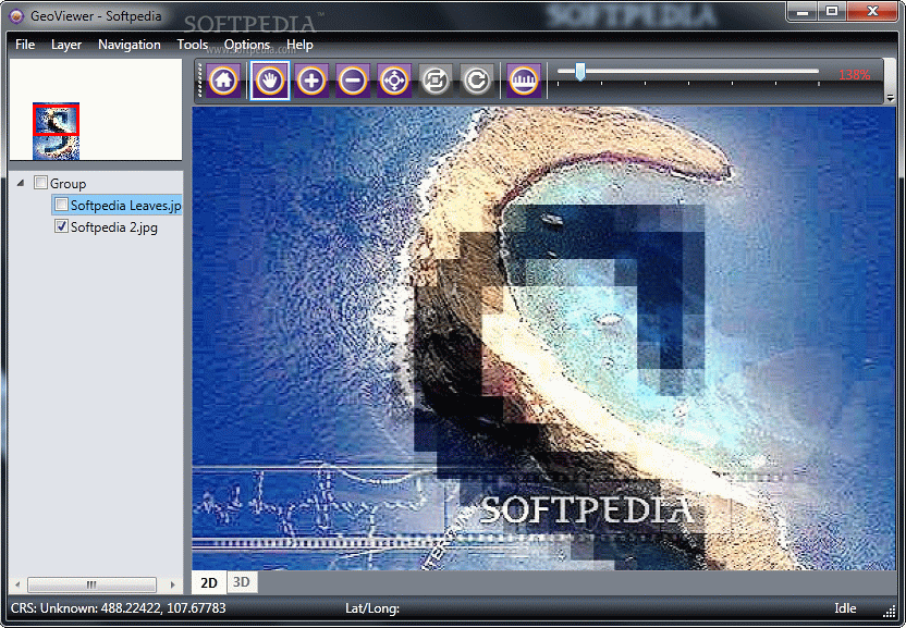
The tool lets you explore the map directly in the main window, manage layers, as well as mark points on the map for future measurements. In addition, you can check out a fixed overview of the map, restore the original view, move the view in any direction within the layer, and zoom in or out of the image.
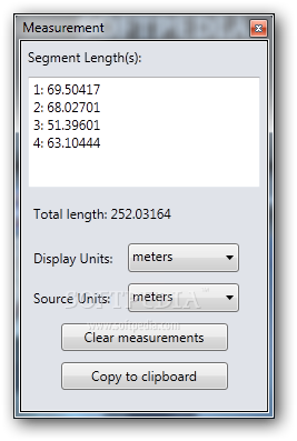
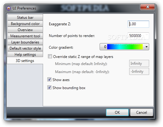
What’s more, you can explore a 3D workspace by moving the virewpoint in an orbit around your focal point, measure distances between points, add pictures as layers to your current project, and hide or show a layer from/on the map.
There’s also support for a help manual in case you cannot decode the program’s features on your own and you need further assistance.
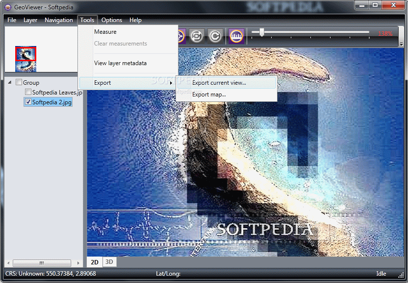
Importing/exporting options
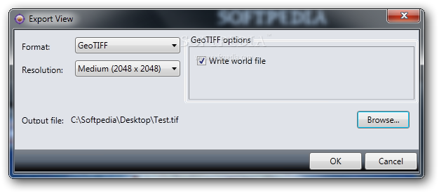
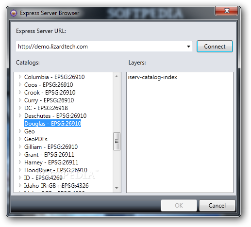
You are allowed to import multiple images, arrange them into layers, and combine them in order to export the map into a GeoTIFF image format. Files can be added from your computer or imported from Express Server catalogs, WMS and JPIP servers. In addition, you can visualize LiDAR data saved in LAS and MrSID file formats.
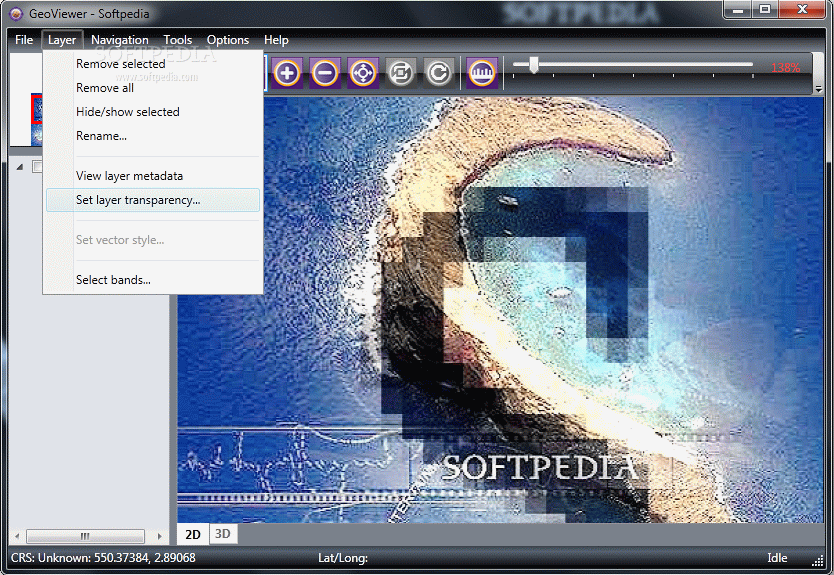
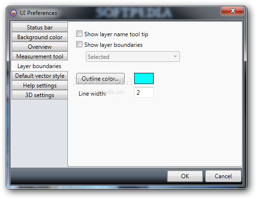
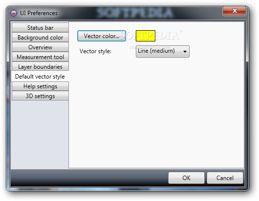
Layer management and other useful features
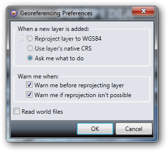
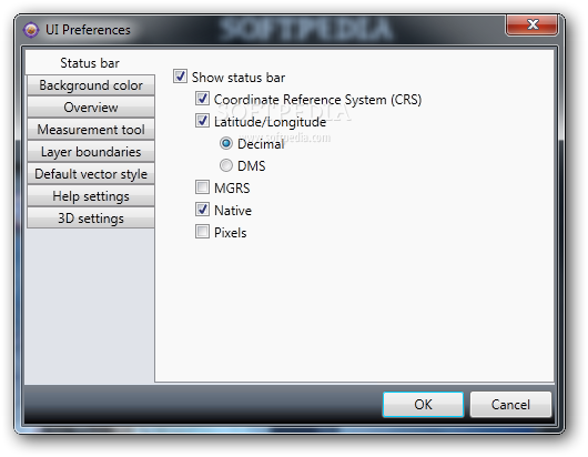
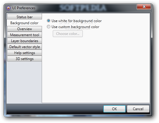
GeoViewer gives you the possibility to change the background color, view the metadata of the loaded layers, create groups of layers, and display georeferenced images in proper relation to one another by putting all layers into the same projection or coordinate reference system (CRS).
What’s more, you can remove layers, set the transparency of a layer, and specify any three bands of a multibanded or multispectral layer to view as the red, green and blue bands, or any single band to view as the grey one. Last but not least, the app lets you save data with the aid of projects which can be later on imported in the working environment.
Bottom line
All things considered, GeoViewer provides several handy features for helping you visualize image, vector and LiDAR data using a 2D or 3D view mode.


 Windows XP and above
 View Screenshots(15)
 Comments
 Download


 Similar Software
 Recently Searched
 Software Categories
 Trending Software


 Like Us


