GeoVisu Suite
Name: GeoVisu Suite
Works on: Windows 2000 and above
Version: 5
Last Updated: 04 Mar 2017
Release: 17 Mar 2012
Category: Internet > Other Internet Related
Rate this software:
517 downloads
Liked it? Tell others:
GeoVisu Suite Details
Works on :
Windows 10 | Windows 8.1 | Windows 8 | Windows 7 | Windows XP | Windows 2000 | Windows 2003 | Windows 2008 | Windows Vista | Windows 2012
SHA1 Hash : 6208786c15eb9f827563cdd321b0a6ea37790996
Size : 1.76 MB
File Format : exe
Rating : 2.260869565
out of 5
based on 23 user ratings
Downloads : 517
License : Free
GeoVisu Suite is a free software by GeoVisu and works on Windows 10, Windows 8.1, Windows 8, Windows 7, Windows XP, Windows 2000, Windows 2003, Windows 2008, Windows Vista, Windows 2012.download GeoVisu Suite which is 1.76 MB in size and belongs to the software category Other Internet Related.GeoVisu Suite was released on 2012-03-17 and last updated on our database on 2017-03-04 and is currently at version 5.
Thank you for downloading from SoftPaz! Your download should start any moment now. It would be great if you could rate and share:
Rate this software:
Share in your network:
GeoVisu Suite Description
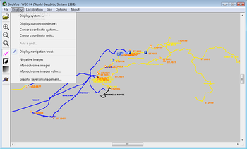
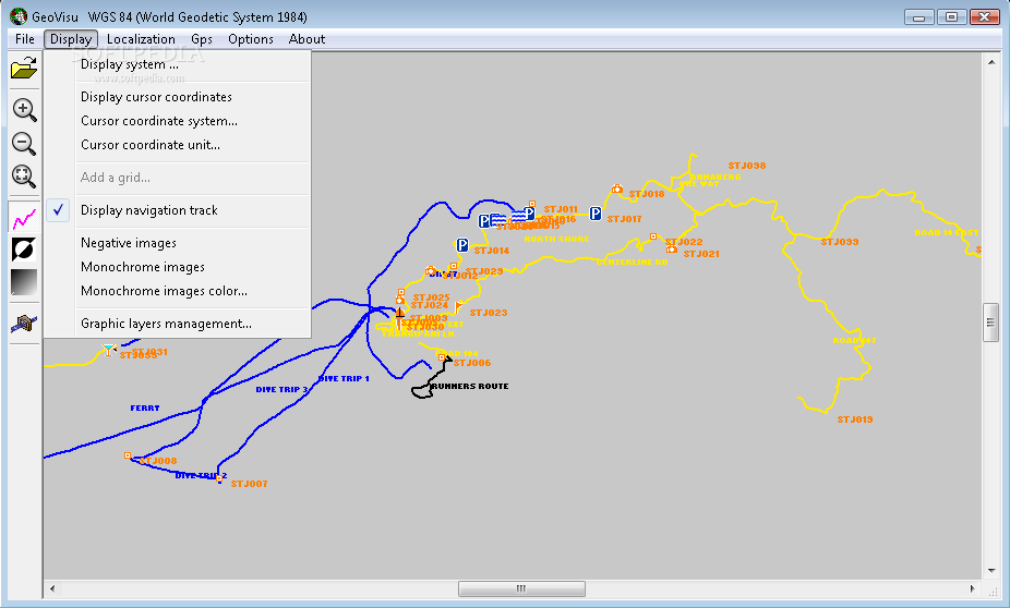
Georeferenced data display :
Displays georeferenced image formats : GeoTiff, ECW and ECWP, MrSID, OziExplorer Map
Displays graphic data in formats SHP, MIF, KML and KMZ (Google Earth), WinAPRS, ascii OVL and geonames.org XML
Displays map data in formats OSM (OpenStreetMap), cGPSmapper Polish format
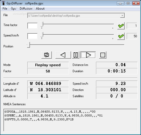
Displays GPS files in formats GPX, log NMEA, GPS TrackMaker GTM211 and GTM212, Lowrance USR, OziExplorer, Mapsend, Magellan log, Garmin PCX5, Garmin XML (History, Logbook), Wintec (TK1, TK2, TK3), Mapshow (AlanMap, Holux)
Displays geolocalized Jpeg images (Exif)
Directly reads compressed files : Gzip and ZIP
Directly reads files from web, using protocole http or ECWP
Displays images in negative and/or monochrome mode
Automatic overlay for maps and satellites image layers using their resolution (the most accurate on top)
Gaphic and image layers display management
Can modify map features (OSM et cGPSmapper) representation, can define new map features
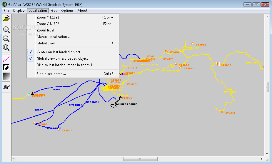
Finds place names and localizes on them
Print function
GPS :
Navigation : displays current position provided by a GPS NMEA 0183 compatible or Garmin USB device,
this position is maintained at the center of the window with real time actualisation ("moving map")
Logs navigation data in NMEA format,
Receives GPS sentences on UDP port
Displays track during navigation
Automatic launching of navigation when starting
Downloads waypoints, tracklogs and routes from all Magellan et Garmin models from many GPS dataloggers,
(Garmin, Magellan, Globalsat, Emtac Trine, Royaltek, Wintec, MTK, Navilink, Skytraq)
Displays waypoint(s), tracklog(s) and route(s) over georeferenced images or graphic data
File formats conversion :
Exports graphic data in formats MIF, KML (Google Earth)
Exports GPS data in formats GPX and NMEA
Geodetic systems :
Lets you choose display geodetic system (when no image present)
Converts geographic and cartographic coordinates
Parameters of many geodetic systems have been validated whith use of documents from national geographic institutes
Supports cartographic projections : Lambert conic tangent and secant, Mercator tangent and secant, transverse Mercator, oblique Mercator, Rosenmund, Hotine, Gauss-Laborde, Polar stereographic, (Double) oblique stereographic, Krovak, Equirectangular
Recognizes EPSG v6.11, Mapinfo v7.8, Garmin, OziExplorer, NMEA, and ERMapper geodetic system codifications
Display cursor coordinates in geodetic system and unit chosen by user
Please enable JavaScript to view the comments powered by Disqus.
Similar Software


 Windows 2000 and above
 View Screenshots(3)
 Comments
 Download


 Similar Software
 Recently Searched
 Software Categories
 Trending Software

 Like Us


