Works on: Windows 10 | Windows 8.1 | Windows 8 | Windows 7 | Windows 2012 SHA1 Hash: 9ae8975fba06524645ab3b0db6d83d4559311339 Size: 10.32 MB File Format: exe
Rating: 2
out of 5
based on 23 user ratings
Publisher Website: External Link Downloads: 1936 License: Free
GetNexrad is a free software by Carson and works on Windows 10, Windows 8.1, Windows 8, Windows 7, Windows 2012.
You can download GetNexrad which is 10.32 MB in size and belongs to the software category Science CAD. GetNexrad was released on 2017-03-07 and last updated on our database on 2017-04-23 and is currently at version 4.1.
Thank you for downloading from SoftPaz! Your download should start any moment now. It would be great if you could rate and share:
Rate this software:
Share in your network:
GetNexrad Description
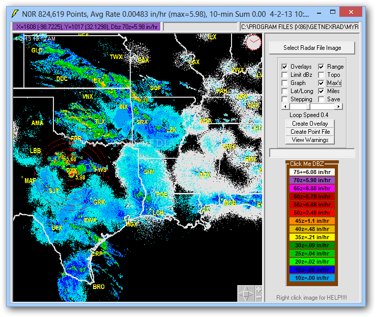
GetNexrad is a Windows utility that facilitates a user-friendly interface for analyzing the weather radar for US and Canada. It comes bundled with multiple radar images, giving you the possibility to open your own graphic files as well as control display settings.
View weather data in US and Canada
Following a speedy setup operation that shouldn't give you any trouble, you're welcomed by a simple window with a plain appearance, where you can use the built-in file navigator to select one of the radar images provided by the developer.
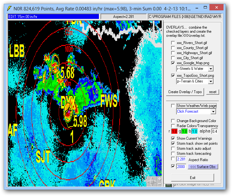
Otherwise, you can open your own pictures if they contain radar information, as long as they have the GIF, PNG or JPG format. As far as image options are concerned, you can toggle overlays, range and topographic view, check out the latitude and longitude of the set point, or jump to a different position by indicating the coordinates.
Control display settings for radar information
It's also possible to enable stepping as well as to view a graph with metereology information (dBZ and rain rate). Radar loop rainfall information or Nowcast information can be saved to file. Alternatively, you can save the radar image, GetNexrad window image on or full window on update.
The file can also be uploaded to a website via FTP, with or without credentials. Meanwhile, point files for pixels within a Nexrad boundary file can be created by converting Ridge2 or R2 N0Q, or without conversion.
Easy-to-use tool for analyzing radar images
The software application worked smoothly on Windows 10 in our evaluation. Images were rendered quickly while the tool remained light on system resources consumption.
All aspects considered, GetNexrad offers a simple solution for those interested in analyzing weather information on radar images for US and Canada. It contains multiple radar images and enables you to open custom pictures as well as to take over some display preferences.


 Windows 7 and above
 View Screenshots(3)
 Comments
 Download


 Similar Software
 Recently Searched
 Software Categories
 Trending Software


 Like Us


