Works on: Windows 10 | Windows 8.1 | Windows 8 | Windows 7 | Windows XP | Windows 2000 | Windows 2003 | Windows 2008 | Windows Vista | Windows 2012 SHA1 Hash: 0d6a41f71a388c8dd07a3b27128bf93bbbe1178c Size: 1.74 MB File Format: exe
Rating: 2.565217391
out of 5
based on 23 user ratings
Downloads: 476 License: Free
GIS Explorer is a free software by BMT Cordah and works on Windows 10, Windows 8.1, Windows 8, Windows 7, Windows XP, Windows 2000, Windows 2003, Windows 2008, Windows Vista, Windows 2012.
You can download GIS Explorer which is 1.74 MB in size and belongs to the software category Home and Education. GIS Explorer was released on 2006-12-20 and last updated on our database on 2017-02-18 and is currently at version 1.
Thank you for downloading from SoftPaz! Your download should start any moment now. It would be great if you could rate and share:
Rate this software:
Share in your network:
GIS Explorer Description
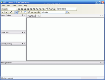
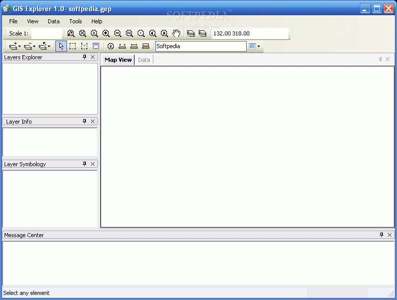
GIS Explorer is a user friendly freeware Geographic Information System from BMT Cordah. It supports many spatial data formats (Oracle Spatial, DGN, ESRI Shape, ASCII NXYZ, BMP, PNG, GeoTIFF, TIFF, GIF).
Besides just opening and viewing files, the viewer supports an extensive list of features including layer properties control, spatial querying, map measurements, plugins and much more.
Here are some key features of "GIS Explorer":
ï¿ Export to ESRI Shape, PostGIS, XML, PNG, Flash and PDF
ï¿ Creating project files
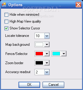
ï¿ Layer control:add, remove, group in folders, reorder, symbology (colors, weight, styles, fills, hatch, transparency, symbols)
ï¿ Spatial indexing
ï¿ Spatial queries for Oracle Spatial and PostGIS layers
ï¿ Fitting layers, zoom in, zoom out, zoom history, paning
ï¿ Overview map
ï¿ Element information
ï¿ Measurement of distances, areas, and perimeters
ï¿ Data table to present attribute data in table form
ï¿ Plugins
ï¿ Print and print preview


 Windows XP and above
 View Screenshots(2)
 Comments
 Download


 Similar Software
 Recently Searched
 Software Categories
 Trending Software
 Like Us


