Works on: Windows 10 | Windows 8.1 | Windows 8 | Windows 7 | Windows XP | Windows 2000 | Windows 2003 | Windows 2008 | Windows Vista | Windows 2012 SHA1 Hash: 7b5d3ffa62ee64363ea68b01e6965e03f6cc9058 Size: 707.07 KB File Format: msi
Rating: 2.086956521
out of 5
based on 23 user ratings
Publisher Website: External Link Downloads: 506 License: Free
GPS Track Viewer is a free software by GPS Track Viewer Development Team and works on Windows 10, Windows 8.1, Windows 8, Windows 7, Windows XP, Windows 2000, Windows 2003, Windows 2008, Windows Vista, Windows 2012.
You can download GPS Track Viewer which is 707.07 KB in size and belongs to the software category Other Internet Related. GPS Track Viewer was released on 2011-02-09 and last updated on our database on 2017-03-01 and is currently at version 1.1.
Thank you for downloading from SoftPaz! Your download should start any moment now. It would be great if you could rate and share:
Rate this software:
Share in your network:
GPS Track Viewer Description
Development of information technology made available for nearly all devices to stay connected and synchronized. This enhances leisure and work activities, but also has an impact on navigation. With GPS systems letting you quickly figure your way around anywhere on the globe, GPS Track Viewer comes as a small utility that lets you analyze paths.
Lightweight and easy to use
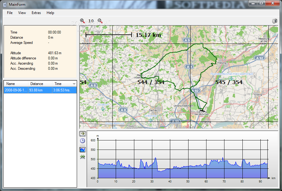
In terms of visuals, the application poses no accommodation problems. Most of the space is taken up by a map display, while additional panels are used to store navigation data, as well as details graph. You need to add GPS data, otherwise the app only serves as a world map.
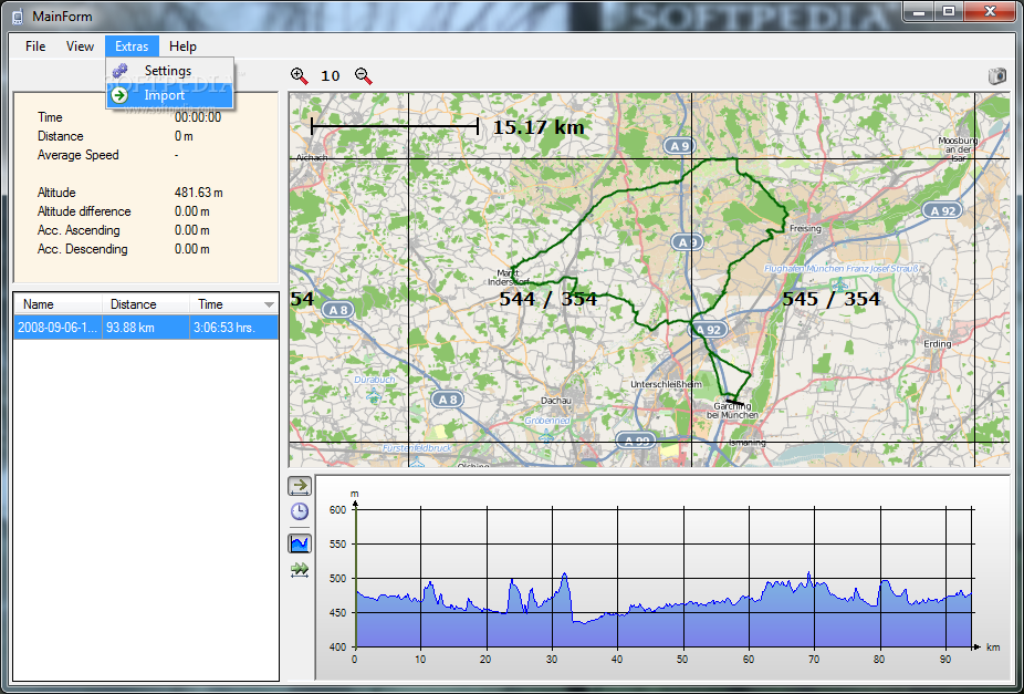
This is done by picking a target folder that needs to contain GPS or TCX files, which you can later on select from a list they're displayed in. Based on info gathered from files, the whole path is highlighted and the view is automatically placed over the specific area.
Interactive graph with map feedback
It's time for the graph to shine, putting several controls at your disposal to analyze speed, height, time and distance. These attributes can all be toggled and merged into the graph, which is interactive. This means that selecting certain areas lets you cleverly view it on the map, with thorough info shown in a dedicated panel, such as time, distance, average speed, altitude and a few more.
A poor set of features
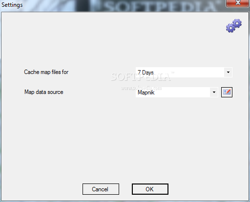
For better analysis, the application puts several map configuration options at your disposal. You can choose to display a yardstick, map grid, as well as corresponding numbers. In addition, a measurement tools lets you draw segments on the map, and there's also the possibility to save an image of the current view.
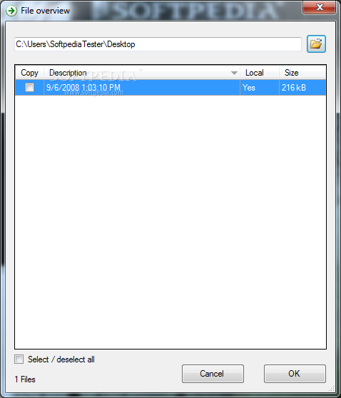
The application is strictly limited to viewing, with no export options whatsoever other than map images. Since thorough data is displayed, it would have been useful to be able to at least pile up numbers in a CSV or TXT file.
A few last words
All things considered, we can state that GPS Track Viewer is a straightforward application with which you can analyze routes and paths. It's a pity that export options are not implemented. However, it offers a simple approach on analysis, with measurement tools, easy map navigation, as well as intuitive graph with clever selection and highlight features shown in real time on the map.


 Windows 2000 and above
 View Screenshots(4)
 Comments
 Download


 Similar Software
 Recently Searched
 Software Categories
 Trending Software
 Like Us


