Works on: Windows 10 | Windows 8.1 | Windows 8 | Windows 7 | Windows XP | Windows 2000 | Windows 2003 | Windows 2008 | Windows 98 | Windows ME | Windows NT | Windows Vista | Windows 2012 SHA1 Hash: 3bd9e9869f02e4bf20c39c1c6a75857d32a188d0 Size: 38.01 MB File Format: zip
Rating: 1.869565217
out of 5
based on 23 user ratings
Publisher Website: External Link Downloads: 200 License: Demo / Trial Version
HISATLAS 1- Kratographica is a demo software by Euratlas Nussli and works on Windows 10, Windows 8.1, Windows 8, Windows 7, Windows XP, Windows 2000, Windows 2003, Windows 2008, Windows 98, Windows ME, Windows NT, Windows Vista, Windows 2012.
You can download HISATLAS 1- Kratographica which is 38.01 MB in size and belongs to the software category Home and Education. HISATLAS 1- Kratographica was released on 2012-01-18 and last updated on our database on 2017-04-23 and is currently at version 1.
Thank you for downloading from SoftPaz! Your download should start any moment now. It would be great if you could rate and share:
Rate this software:
Share in your network:
HISATLAS 1- Kratographica Description
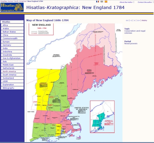
Historical and Political Maps of the Modern Age: an overview of World history. An complete selection of world political and historical maps from 1789, and occasionally from earlier dates, to the present day organized by region and dates. Most of the maps are in Spanish. A world historical atlas covering the 5 continents. 225 detailed historical maps from 1789 to the present.The maps are organized in 18 different sections. Each map is offered in .jpg reduced size and in .gif full size. All maps are shown on html pages. Easy navigation through the 18 map sections. Introduction text in English and Spanish. Most map legends are in Spanish, some maps in English.A selection of world political and historical maps from 1789, and occasionally from earlier dates, to the present day organized by region and dates. Most of the maps are in Spanish.Platform independent. Web browser, like Firefox, and file archiver, like Winzip, required. Some new maps need Adobe Reader. Internet connection not necessary. You simply need to unzip (uncompress) this file in a new directory and to click on the file called start or start.html. This will open a HTML page from which you will be able to navigate through the maps.Main Features: A world historical atlas covering the 5 continents. 219 detailed historical maps from 1789 to the present. The maps are organized in 18 different sections. Each map is offered in JPG reduced size and in GIF full size, some maps are in PDF format. All maps are shown on html pages. Easy navigation through the 18 map sections. Introduction and explanation text in English, Spanish and French. Most map legends are in Spanish, some maps in English.
Whats new in this version:
More details on the maps, comprehensive organization of the maps.
Where to buy?
Last updated price and discount information 9 years agoupdate now


 Windows NT and above
 View Screenshots(1)
 Comments
 Download


 Similar Software


 Recently Searched
 Software Categories
 Trending Software


 Like Us


