Works on: Windows 10 | Windows 8.1 | Windows 8 | Windows 7 | Windows 2008 | Windows Vista | Windows 2012 SHA1 Hash: a54c0fee4ede01b9125464f235e63b0f140a5489 Size: 84.29 MB File Format: exe
Rating: 2.608695652
out of 5
based on 23 user ratings
Publisher Website: External Link Downloads: 2953 License: Demo / Trial Version
Kubla Cubed is a demo software by Kubla Ltd and works on Windows 10, Windows 8.1, Windows 8, Windows 7, Windows 2008, Windows Vista, Windows 2012.
You can download Kubla Cubed which is 84.29 MB in size and belongs to the software category Science CAD. Kubla Cubed was released on 2016-11-21 and last updated on our database on 2017-09-19 and is currently at version 4.2.
Thank you for downloading from SoftPaz! Your download should start any moment now. It would be great if you could rate and share:
Rate this software:
Share in your network:
Kubla Cubed Description
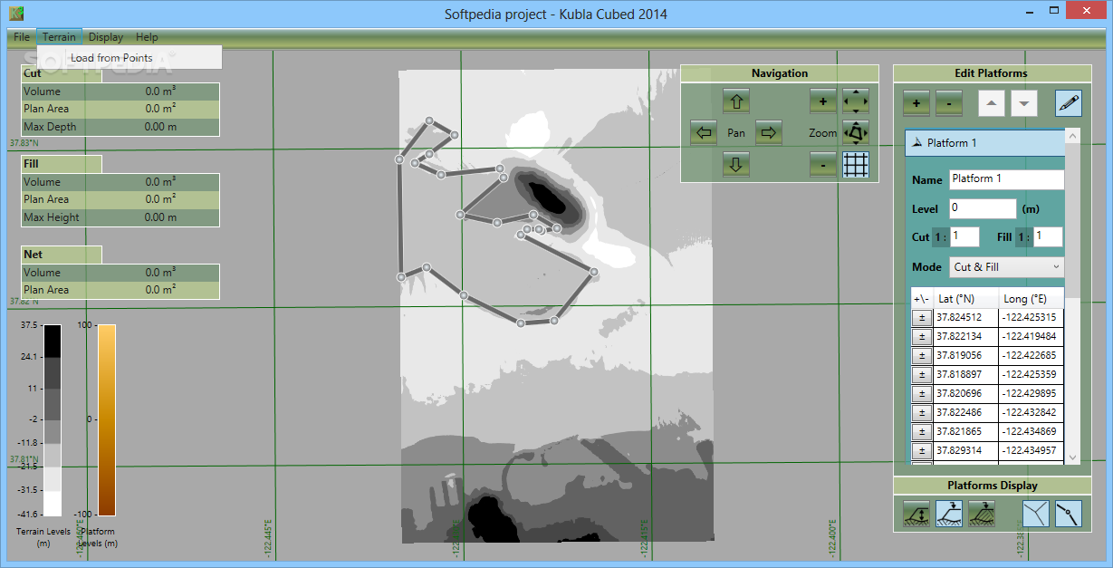
Kubla Cubed is a simple to use application which allows you to calculate and visualize earthworks cut parameters or fill volumes. The software allows you to analyze the depths, heights or plain areas for selected terrain parts. Simply load the input values and let the software automatically render the graphic representation.
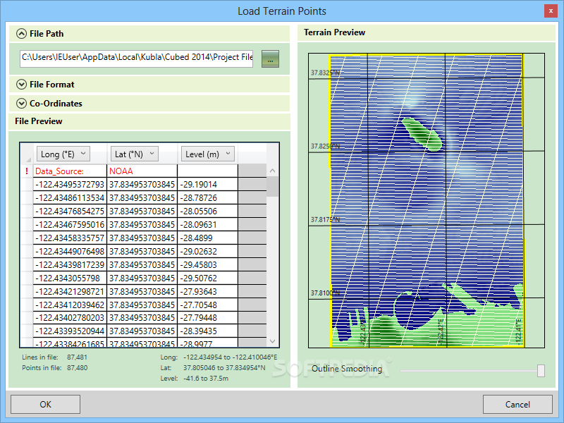
Load terrain points from local files
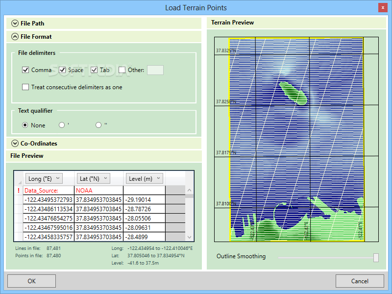
Kubla Cubed allows you to work with preset terrain points maps, that you can load from a series of file types. The software supports .XYZ coordinate storage files, .TXT, .DOC/.DOCX or even Excel spreadsheets. The supported files contain axis coordinates, that can define a specific terrain area, such as islands, hills or pits.
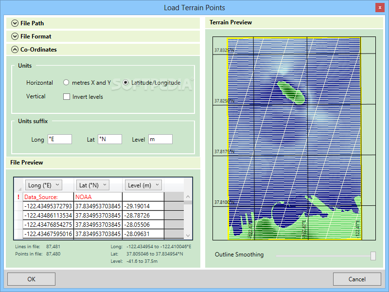
The software can instantly calculate the map coordinates, in meters, considering the X axis as East orientation and Y as North. Moreover, it instantly creates a preview of the terrain for easy identification. The main interface displays the terrain rendering, as plane and allows you to analyze specific areas from it.
Making selections and calculating parameters
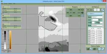
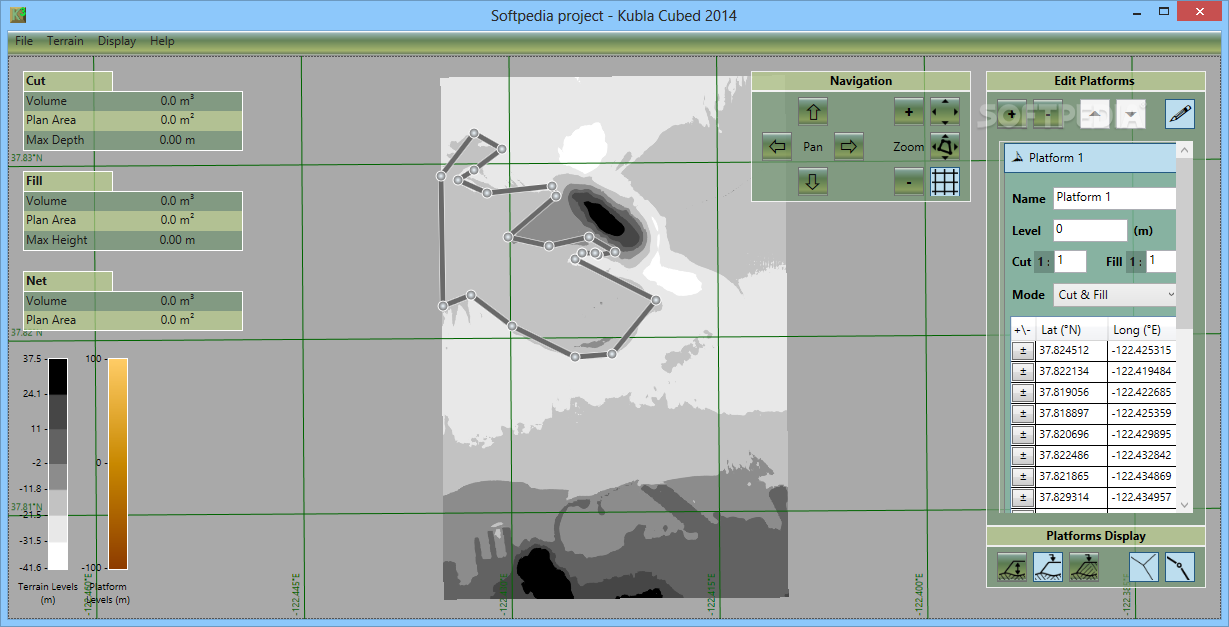
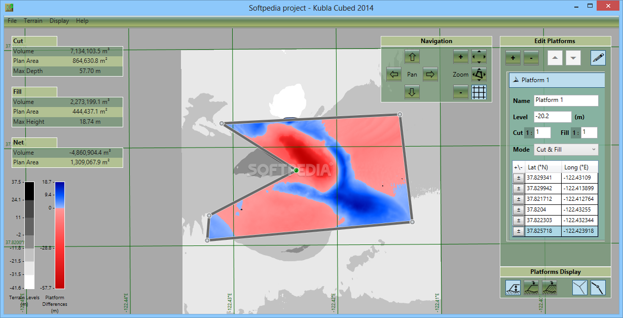
Once the software renders the terrain from the points file, it allows you to make selections, in order to observe the details on a particular area. You can use the selection tool, which allows you to place reference points while instantly creating a polygonal shape. You can use the navigation buttons to zoom in or out, pan up, down, left and right.
Moreover, you can apply a reference grid or use the quick zoom tools in order to view the platforms and the extents. The Platforms analysis area on the right allows you to view the cuts and fills volumes, as well as the terrain level, cut or fill areas, as well as the X and Y values. The values on the left side regard the volume, plan area and maximum depth/height of the cut or of the fill.
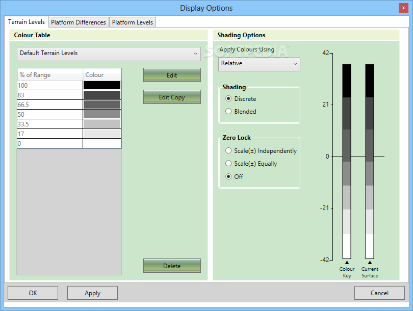
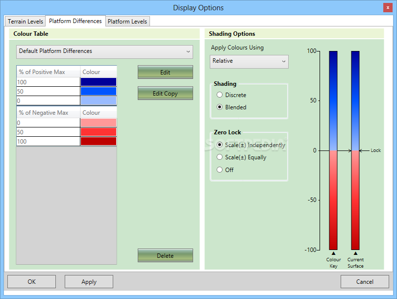
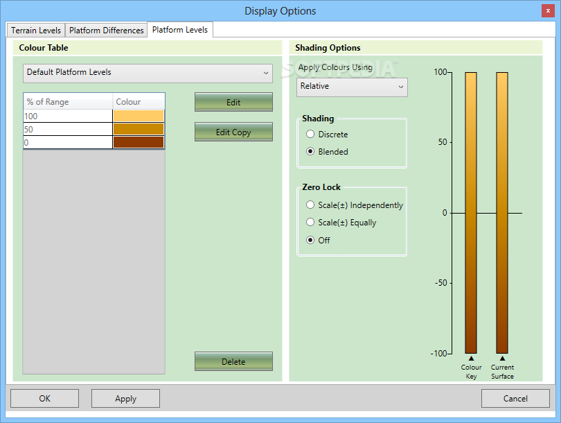
Terrain levels and platform differences
The image imported from the terrain points is rendered by Kubla Cubed, according to terrain levels in black, white and grey shades. For example, the darker shades indicate heights while the white areas are closer to the sea level. The area selections can highlight level differences, platform levels or match the terrain shading.
Where to buy?
Last updated price and discount information 8 years agoupdate now


 Windows Vista and above
 View Screenshots(10)
 Comments
 Download


 Similar Software
 Recently Searched
 Software Categories
 Trending Software
 Like Us


