Works on: Windows 10 | Windows 8.1 | Windows 8 | Windows 7 | Windows 2008 | Windows Vista | Windows 2012 SHA1 Hash: 08ea10381ab21938588b1e3d39b4cca73b224983 Size: 74.44 MB File Format: exe
Rating: 2.434782608
out of 5
based on 23 user ratings
Publisher Website: External Link Downloads: 1899 License: Demo / Trial Version
LISCAD is a demo software by LISTECH and works on Windows 10, Windows 8.1, Windows 8, Windows 7, Windows 2008, Windows Vista, Windows 2012.
You can download LISCAD which is 74.44 MB in size and belongs to the software category Science CAD. LISCAD was released on 2015-08-15 and last updated on our database on 2017-04-06 and is currently at version 11.3.
Thank you for downloading from SoftPaz! Your download should start any moment now. It would be great if you could rate and share:
Rate this software:
Share in your network:
LISCAD Description
LISCAD is an advanced and reliable software solution created to offer landscape engineers with the means of visualize, edit and process data from the devices of land survey, enabling users to work with the information however they may need.
Installation and usage notes
Subsequent to the quick and uneventful installation process, users can launch the program and input their account details; if they do not have them yet, users can register an account, and only then can they get started with the tool.
LISCAD is made up of three main components, namely ‘LISCAD S.E.E.’, ‘LISCAD C.A.D’ and ‘LISCAD Resource Editor’, each comprising several modules to help civil engineers in running a variety of tasks.
Working with land survey data
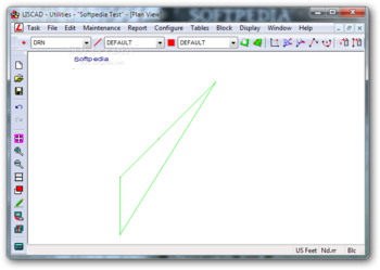
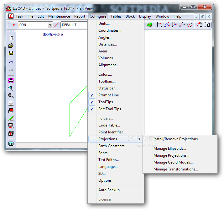
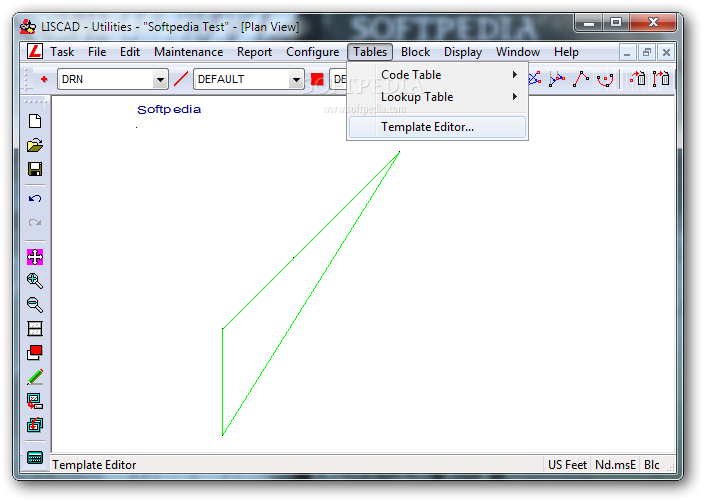
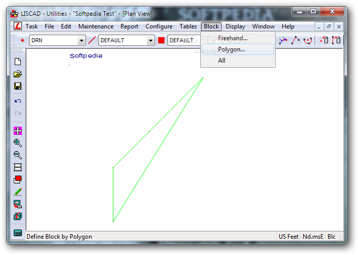
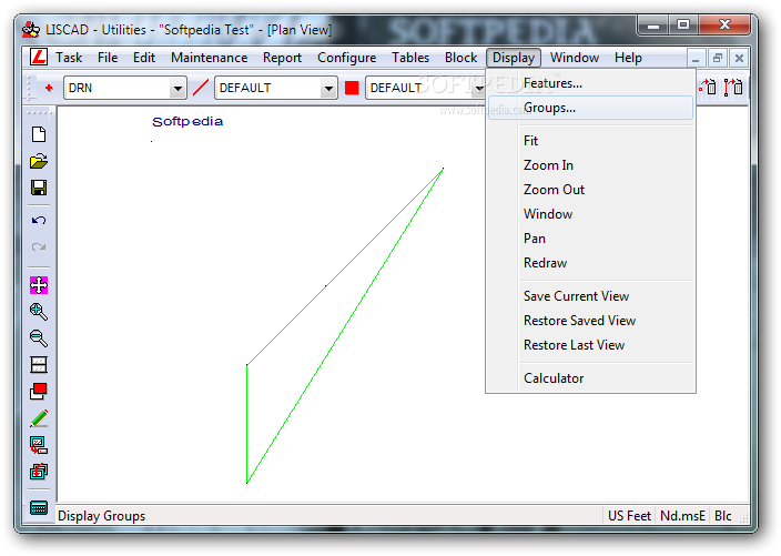
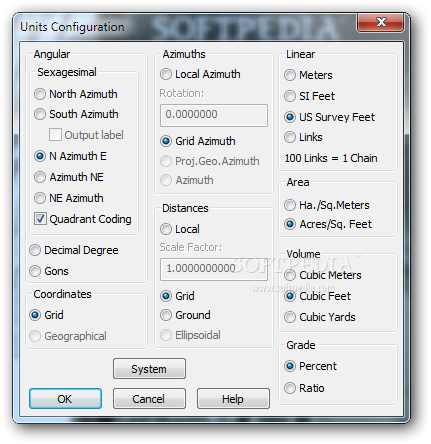
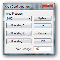
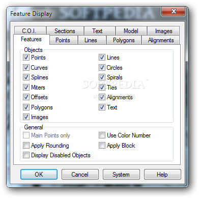
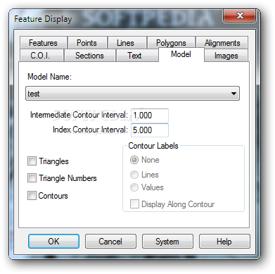
The ‘LISCAD C.A.D’ is designed to offer users the means of drawing maps and survey plans, with the help of their computer, allowing them to even work with the DGN format of AutoCAD and MicroStation.
‘LISCAD Resource Editor’ is meant to provide users with the ability to design and customize various resources that can be used in the system, namely ‘Symbol’, ‘Line’ and ‘Font’ libraries, all of which are supported by ‘LISCAD C.A.D’.
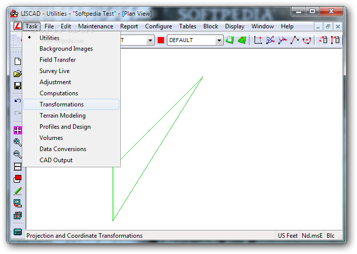
Thanks to ‘LISCAD S.E.E.’, users have several tools to work with, namely ‘Utilities’, ‘Field Transfer’, ‘Computations’, ‘Transformations’, ‘CAD Output’, ‘Terrain Modeling’, ‘3D’, ‘Volumes’, ‘Data Conversion’ or ‘Profiles and Design’, handy in numerous analysis and processing operations.
The modules provided by LISCAD vary in terms of functionality and addressability, that is why they can be acquired separately, to suit the individual needs of users at one moment or another.
Useful instrument for landscape engineers
All in all, LISCAD is a complex and efficient application which aims to offer land survey specialists with the proper components for collecting, compiling and using the data they need in creating geographical maps or plans.


 Windows Vista and above
 View Screenshots(17)
 Comments
 Download


 Similar Software
 Recently Searched
 Software Categories
 Trending Software
 Like Us


