Works on: Windows 10 | Windows 8.1 | Windows 8 | Windows 7 | Windows XP | Windows 2000 | Windows 2003 | Windows 2008 | Windows Vista | Windows 2012 File Format: exe
Rating: 2.52173913
out of 5
based on 23 user ratings
Publisher Website: External Link Downloads: 1744 License: Demo / Trial Version
MapList-Flat is a demo software by Garry Hausfeld and works on Windows 10, Windows 8.1, Windows 8, Windows 7, Windows XP, Windows 2000, Windows 2003, Windows 2008, Windows Vista, Windows 2012.
You can download MapList-Flat which is 6.78 MB in size and belongs to the software category Science CAD. MapList-Flat was released on 2016-12-02 and last updated on our database on 2017-04-16 and is currently at version 1.2.
We also have MapList-Flat 64bit version which is 7.02 MB in size and will work on x64 computers.
Thank you for downloading from SoftPaz! Your download should start any moment now. It would be great if you could rate and share:
Rate this software:
Share in your network:
MapList-Flat Description
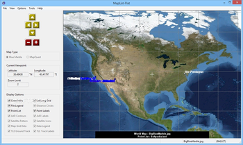
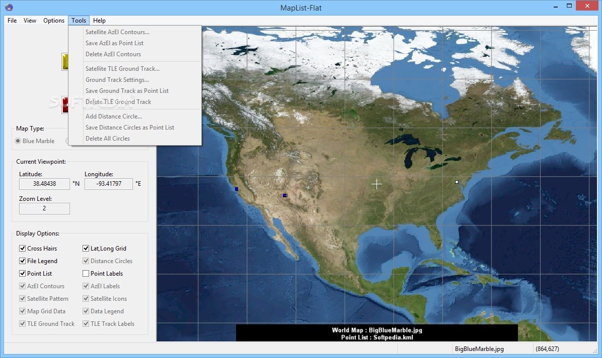
MapList-Flat is a fairly straightforward application designed to help you display and analyze spatial data on a flat world map, and it comes equipped with a number of other handy tools.
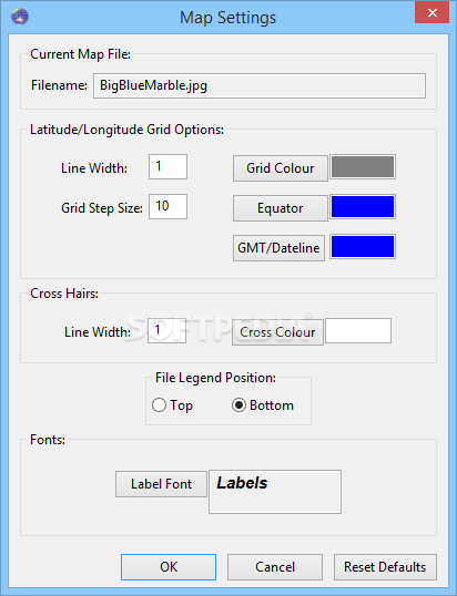
It can use either the NASA Blue Marble image or static background maps downloaded from MapQuest, and it supports several popular file formats.
Use various background map images to present spatial data
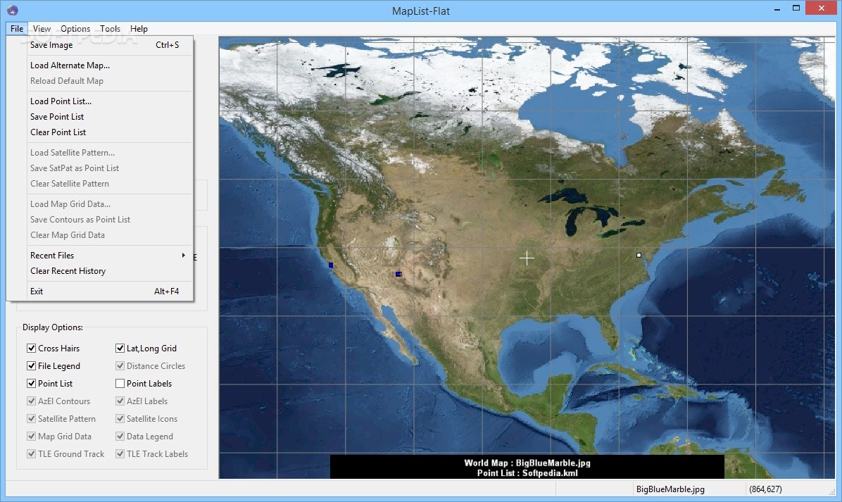
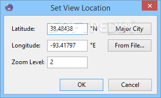
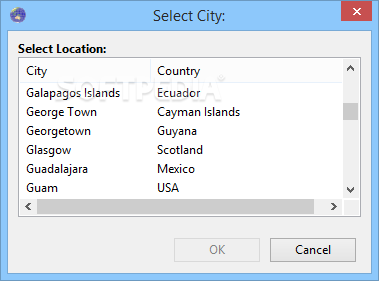
The NASA Blue Marble image is already loaded when launching the application, but you can replace it with any other map of your choice, provided it uses the linear equirectangular projection.
The MapQuest static maps can be loaded automatically, but it is worth noting that an Internet connection is required in order to download them. These use a modified Mercator projection, and MapList-Flat takes this factor into account when switching between various map types.
Offers a number of useful features
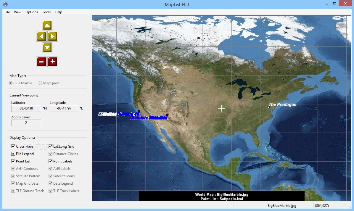
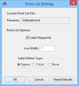
It is possible to load waypoints or map grid data from various sources, including GPX, KML, CSV and AMG files, and then specify which items should be displayed on the map.
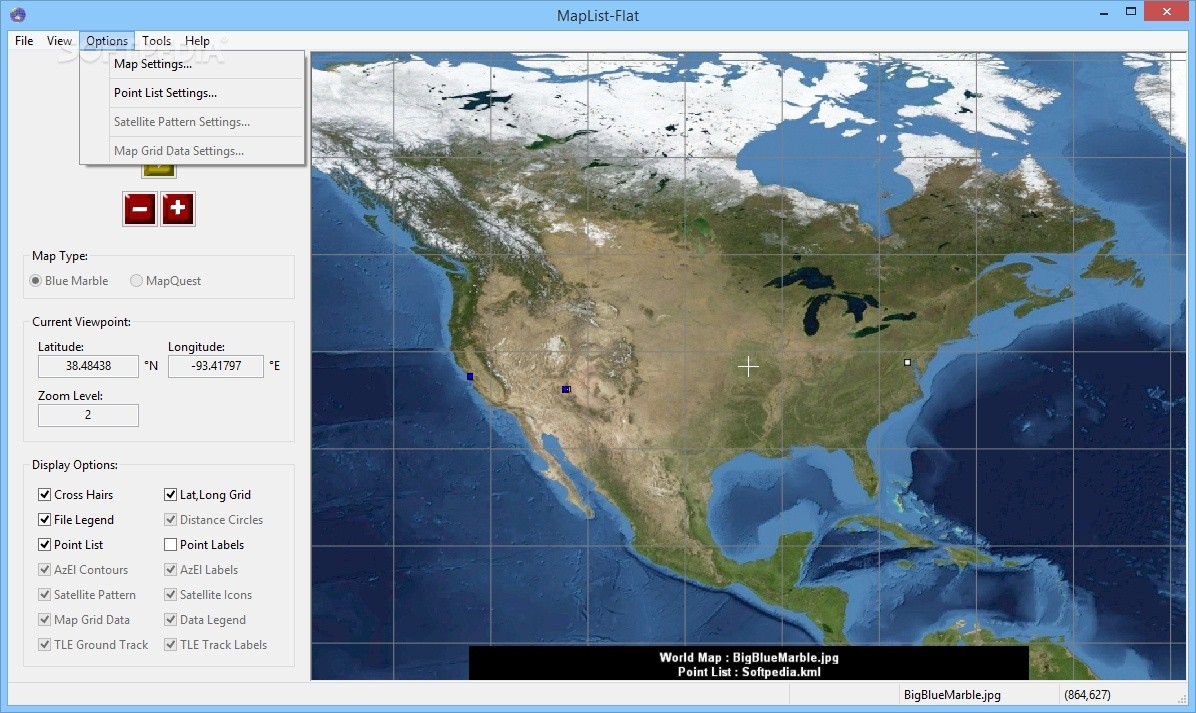
Additionally, MapList-Flat enables you to plot satellite pointing angles for a satellite located at any latitude, longitude or altitude, draw circles on a map at a fixed distance from a center point and plot satellite orbit ground tracks using TLE data files.
The resulting map, complete with data that has been loaded from other sources or generated using the available tools, can be exported to a PNG, JPG, BMP or TGA image file.
User-friendly application that features an intuitive layout
MapList-Flat is quite accessible to novices, as no prior experience with similar software is required to understand how the application works. Moreover, the extensive documentation can come to the aid of users who run into any issues.
To sum up, this is a versatile and easy-to-use program that enables you to load and analyze spatial data using a flat world map. It comes equipped with several useful tools and features a minimalistic, intuitive UI.
Where to buy?
Last updated price and discount information 9 years agoupdate now


 Windows XP and above
 View Screenshots(9)
 Comments
 Download


 Similar Software
 Recently Searched
 Software Categories
 Trending Software


 Like Us


