Works on: Windows 10 | Windows 8.1 | Windows 8 | Windows 7 | Windows 2012 SHA1 Hash: a06706e0565a9d12e0f9360e9a1b61f7bfa0f1c7 Size: 57.75 MB File Format: exe
Rating: 2.434782608
out of 5
based on 23 user ratings
Publisher Website: External Link Downloads: 2320 License: Demo / Trial Version
MapTiler is a demo software by Klokan Petr Pridal and works on Windows 10, Windows 8.1, Windows 8, Windows 7, Windows 2012.
You can download MapTiler which is 57.75 MB in size and belongs to the software category Science CAD. MapTiler was released on 2017-01-20 and last updated on our database on 2017-04-22 and is currently at version 7.2.
Thank you for downloading from SoftPaz! Your download should start any moment now. It would be great if you could rate and share:
Rate this software:
Share in your network:
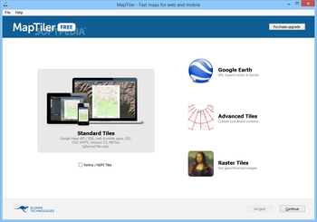
MapTiler Description
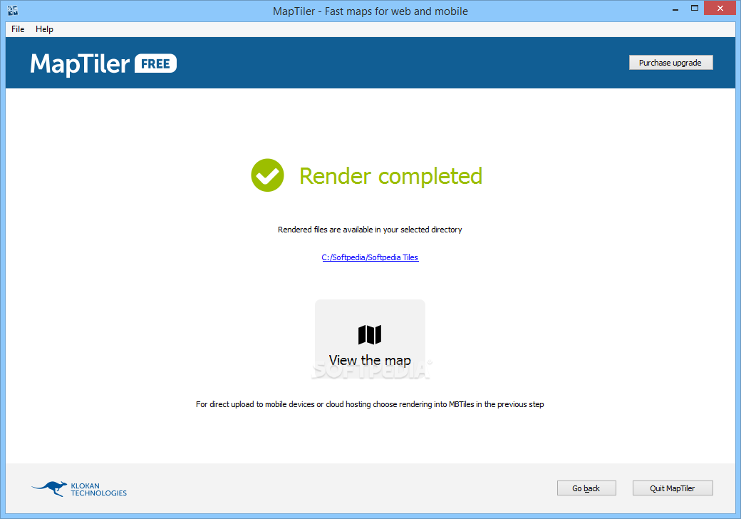
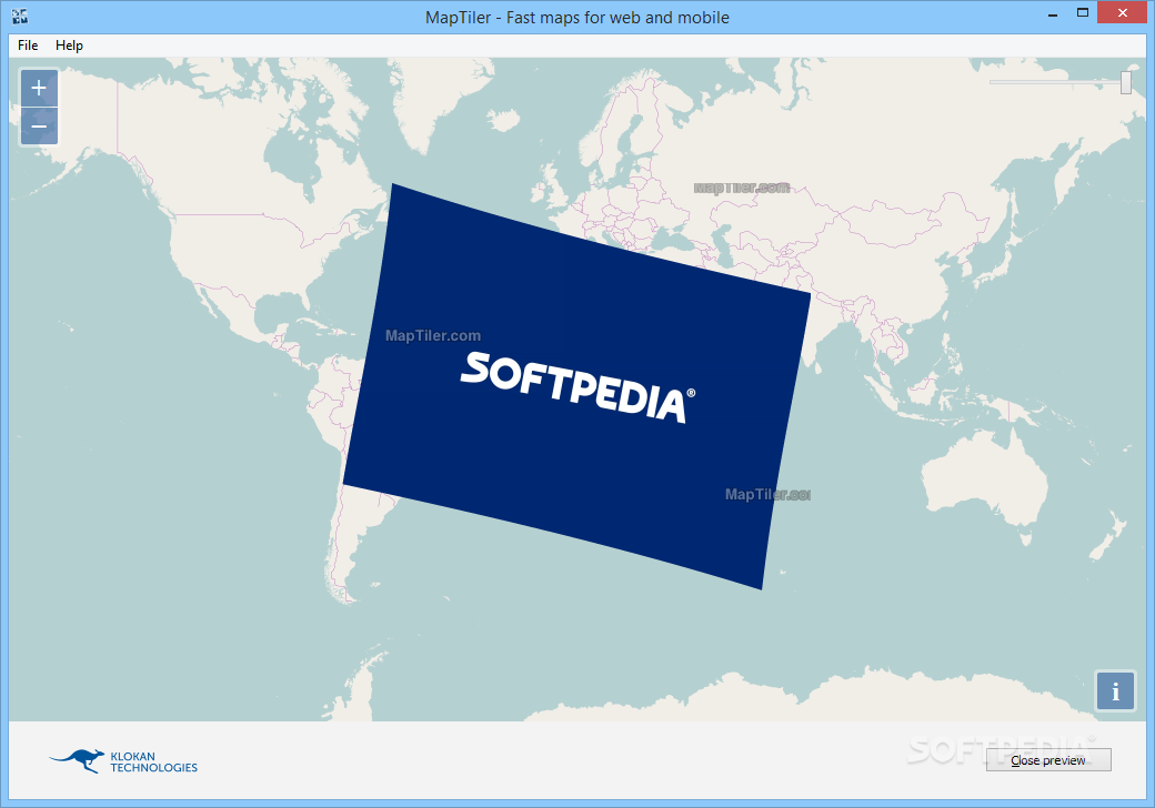
Easy to use:
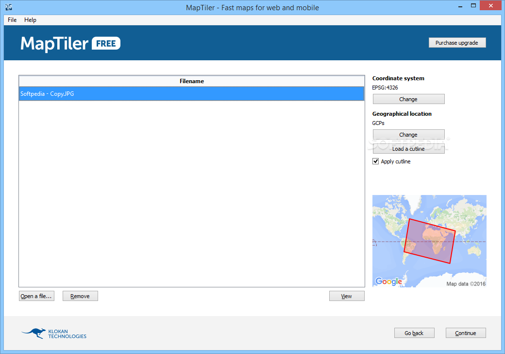
Turn images into interactive map layers that can be displayed in websites, used in mobile phones, tablets, GPS devices, map mashups or opened in the desktop GIS software, Google Maps or Google Earth. A step-by-step interface will smoothly get you through.
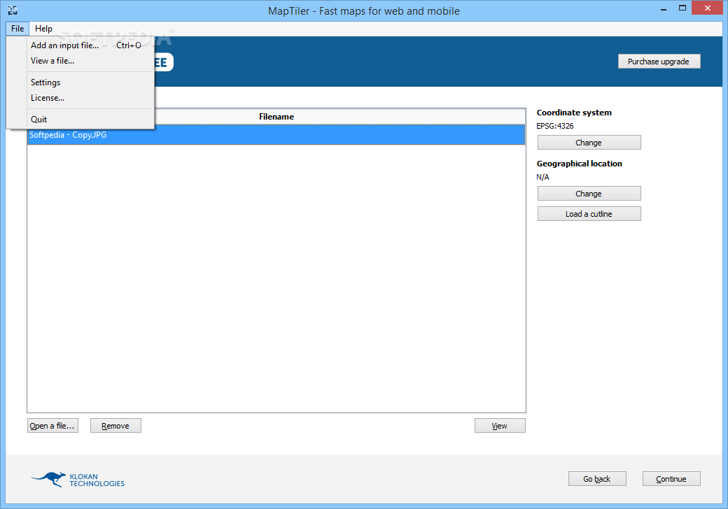
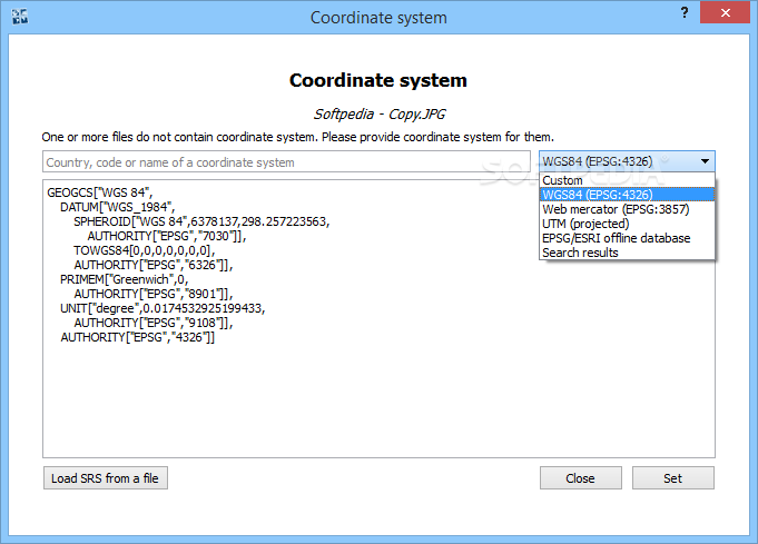
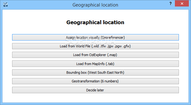
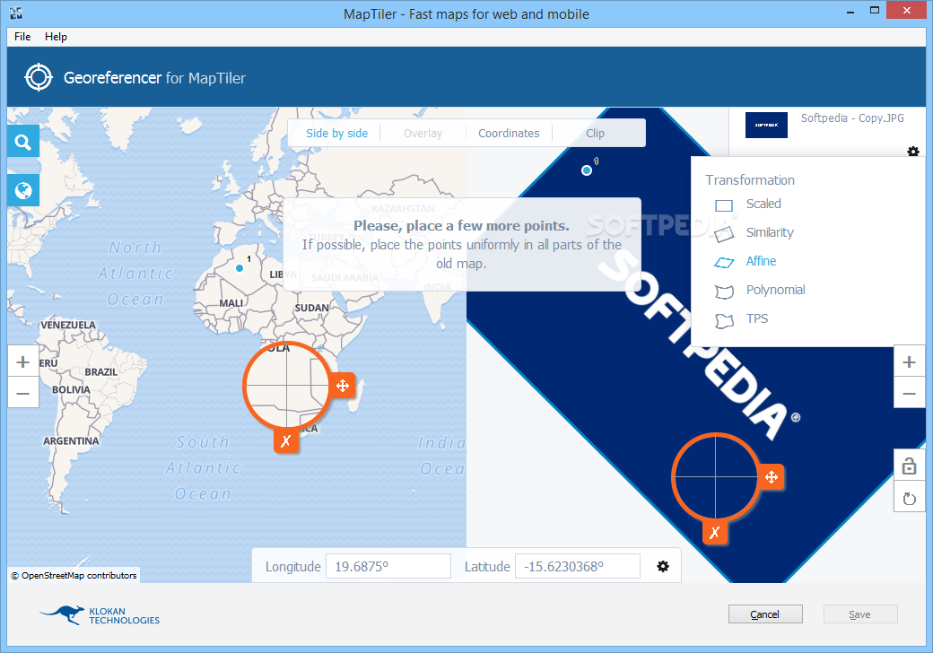
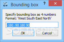
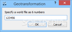
Assign location:
If your map already contains computer readable location it is automatically loaded. Otherwise, images, scanned maps or maps created by designers can be positioned with a set of coordinates or even visually. It is quick and precise.
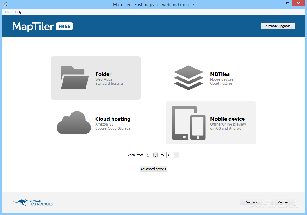
Hosting maps anywhere:
Use included cloud uploader for Amazon S3 or Google Cloud Storage or just drag and drop the folder generated by MapTiler to any standard web hosting. You can use the existing company web server, or free hosting, such as Google Drive or DropBox.
Web and Mobile ready:
The generated map tiles come with ready-to-use, open-source viewers powered by Leaflet, OpenLayers, Google Maps API, WebGL Earth, OL3-Cesium, MapBox JS or ArcGIS API for JavaScript.
Really fast:
MapTiler will utilize full power of your computer to recalculate every pixel of the map as fast as possible. Once the maps are turned into tiles, the distribution is blazingly fast.
GIS compatible:
MapTiler supports a wide range of formats. Produced maps can be opened in any viewer supporting OGC WMTS standard.
Under control:
You control the processing and distribution of maps — the sensitive data can stay in a private intranet, behind firewalls, and can also be used offline without third-party services.
Where to buy?
Last updated price and discount information 9 years agoupdate now


 Windows 7 and above
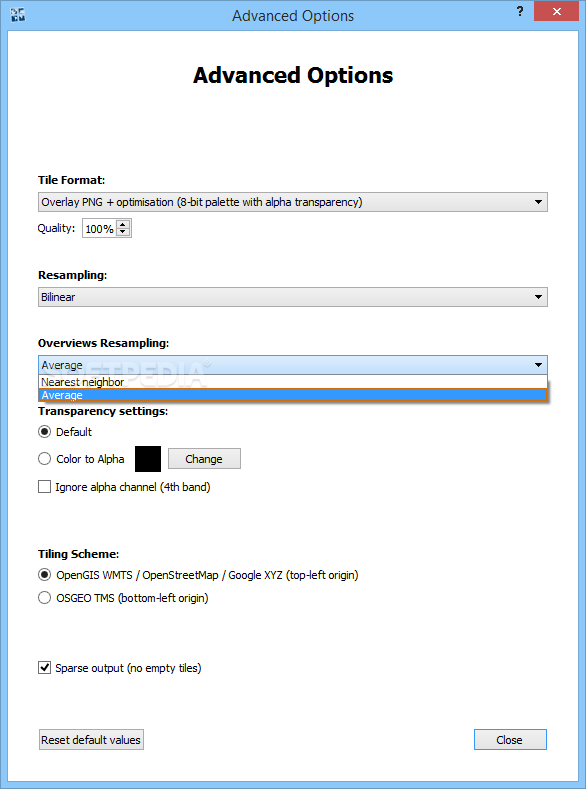
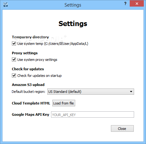
 View Screenshots(14)
 Comments
 Download


 Similar Software
 Recently Searched
 Software Categories
 Trending Software


 Like Us


