Rating: 2.130434782
out of 5
based on 23 user ratings
Publisher Website: External Link Downloads: 1767 License: Demo / Trial Version
Mapwel is a demo software by Balarad and works on Windows 10, Windows 8.1, Windows 8, Windows 7, Windows 2012.
You can download Mapwel which is 22.06 MB in size and belongs to the software category Science CAD. Mapwel was released on 2016-06-14 and last updated on our database on 2017-04-13 and is currently at version 2016.
We also have Mapwel 64bit version which is 37.73 MB in size and will work on x64 computers.
Thank you for downloading from SoftPaz! Your download should start any moment now. It would be great if you could rate and share:
Rate this software:
Share in your network:
Mapwel Description
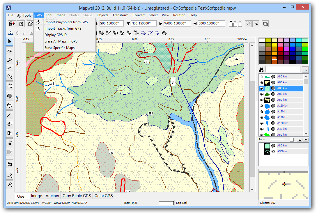
Import of files, files merging:
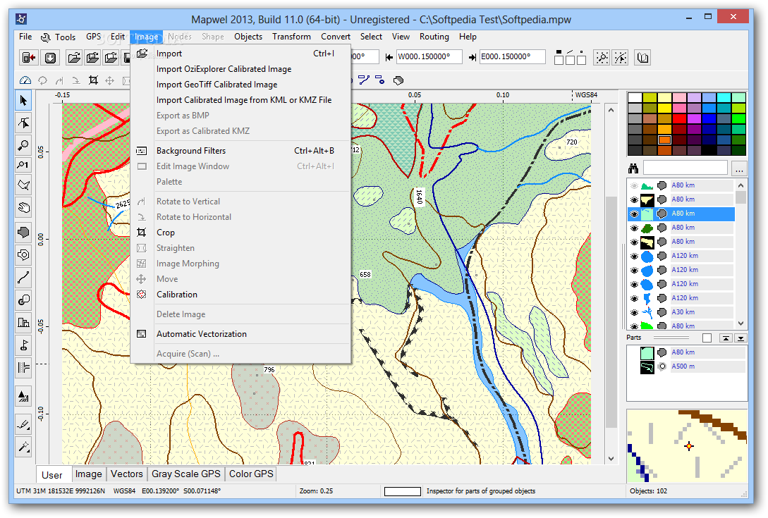
Mapwel supported GPS units require maps in vector format. Therefore, easiest way of how to create map for GPS is to import files in ESRI *.shp, *.osm, *.gpx or other vector format into Mapwel, merge them together and assign proper type to all map objects. Mapwel also supports import of raster images and their automatic and manual vectorization (see below).
Routable maps with Turn-by-Turn voice navigation
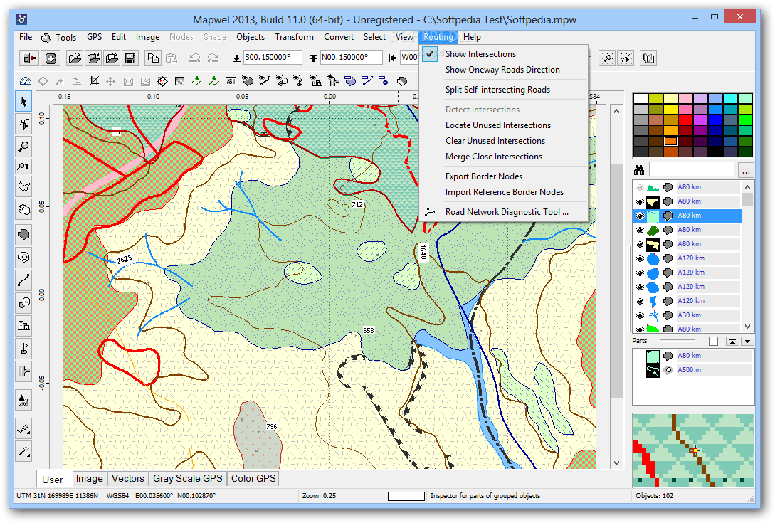
Mapwel supports creation of routable maps from OpenStreetMap *.OSM or cGPSmapper *.MP files. This process is fully automatic in most cases. It is also possible to draw routable maps manually or convert data from other sources (ESRI *.shp) to routable map with little effort. Click here to find out more.
Freeware Maps Download:
Mapwel contains special tool for easy download of large freeware mapsets from internet and their conversion to routable format. This tool allows to define mapset parameters and create map tiles automatically. Each map in the set is trimmed and aligned with other maps for seamless navigation from one map to another.
Projections and datums:
Imported files in both vector and raster format (especially *.shp files) may use various projections and geographic systems. Mapwel supports hundreds of the commonly used systems, including UTM (Universal Transverse Mercator). Internal format of map data in Mapwel is WGS84, because this format is also internal format of the GPS units. Although user can select various coordinate systems in GPS, coordinates are always calculated from WGS84 format. Therefore, Mapwel converts all input data into WGS84.
Autovectorization:
If you need to get raster image into GPS with just a few mouse clicks, this is the right tool for you. Mapwel provides Automatic "one-click" vectorization of raster images (satellite imagery or scanned maps). Garmin units do not allow to load raster image directly into the GPS and use it as a map. Therefore, this function automatically vectorizes raster image and creates vector file compatible with GPS.
Map Georeferencing:
Mapwel provides calibration tool to establish relation between raster image and map coordinate system. Result is a map with Lat/Lon grid parallel to the screen edges and coordinates assigned to left, right, top and bottom edge of the map.
Mapwel also supports OziExplorer *.MAP files and GeoTiff files with calibration info.
User Defined Styles:
GPS units use basic (pre-defined) and user-defined sets of polygon patterns, line styles and symbol icons. Mapwel provides easy-to-use editor of user styles, which are supported by most of the new Garmin GPS.
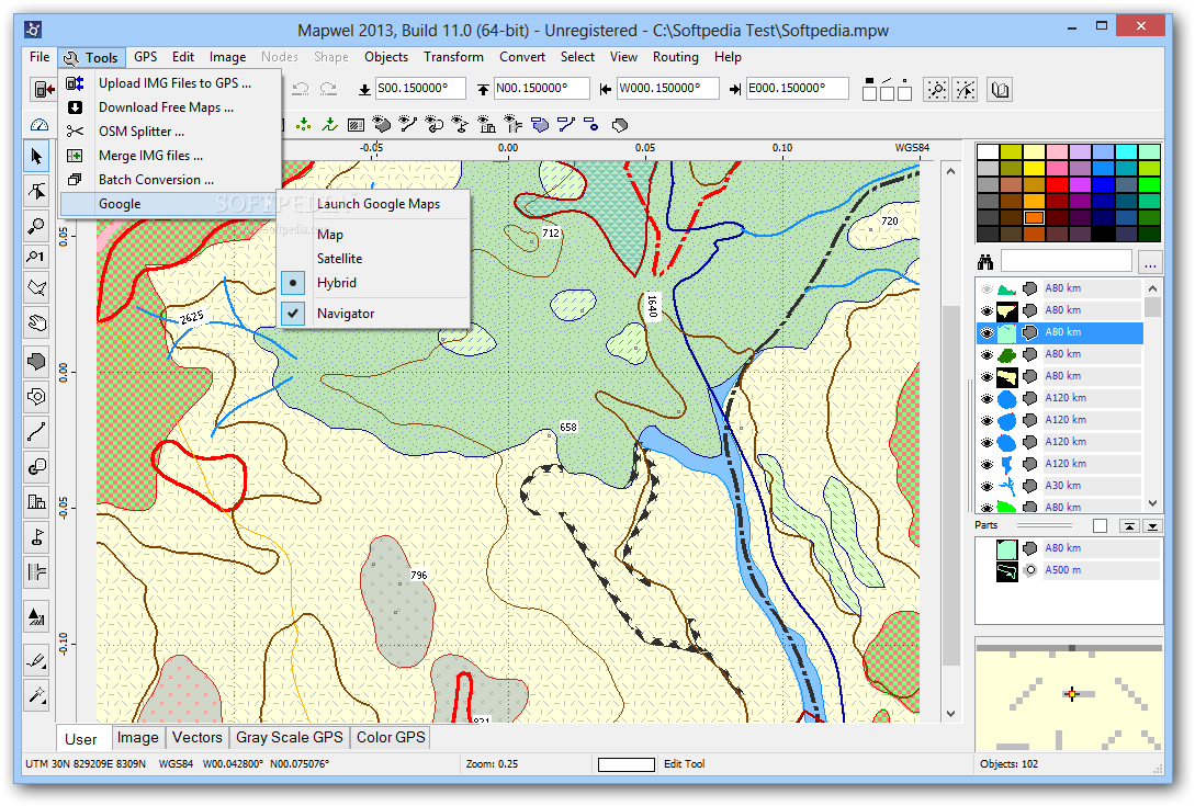
Tools:
Mapwel tools help to manage maps in your GPS, which are normally not accessible, or hard to manipulate because they are all merged into a single file.
' Add maps to other maps in GPS' function allows to add your map to those already present in the GPS memory. 'Delete specific maps in GPS' allows to erase individual maps from your map set. 'Merge IMG files' allows to combine several maps into a single file for use with Nüvi, Zümo, Colorado, Oregon or unit, which memory is directly accessible from Windows.
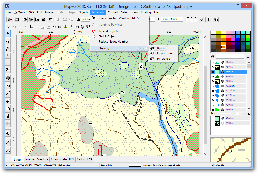
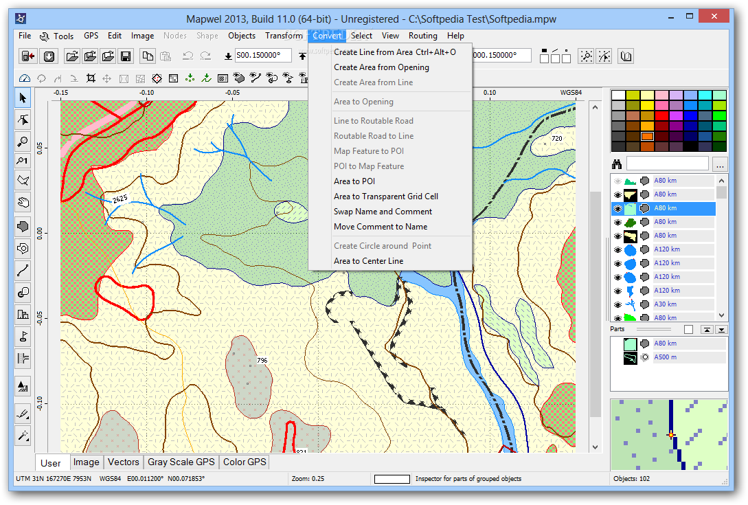
Other Mapwel tools help to create map faster. For example, 'Create Circle around Point' function for aviation maps creates 'circles' of defined radius around all selected points. Very large 'circles' look deformed near poles, because of coordinate system projection. However, real-world distance from center to any point on the "circle" is the same.
Convert Area to transparent grid cell function creates transparent grid from the polygons. This command converts selected polygons to line objects with label in the center of each cell. Text is taken from the polygon's "name".
Trace Tool:
This is another tool for faster vectorization of the raster image. It allows to vectorize one object (or set of similar objects) at once, but it cannot vectorize whole map with different types of objects at once. Tracing should be repeated for respective types of objects (filled areas, roads, rivers, etc.). Trace tool works on images with any common color depth (including True Color and bi-tone) that are sufficiently clean.
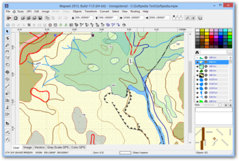
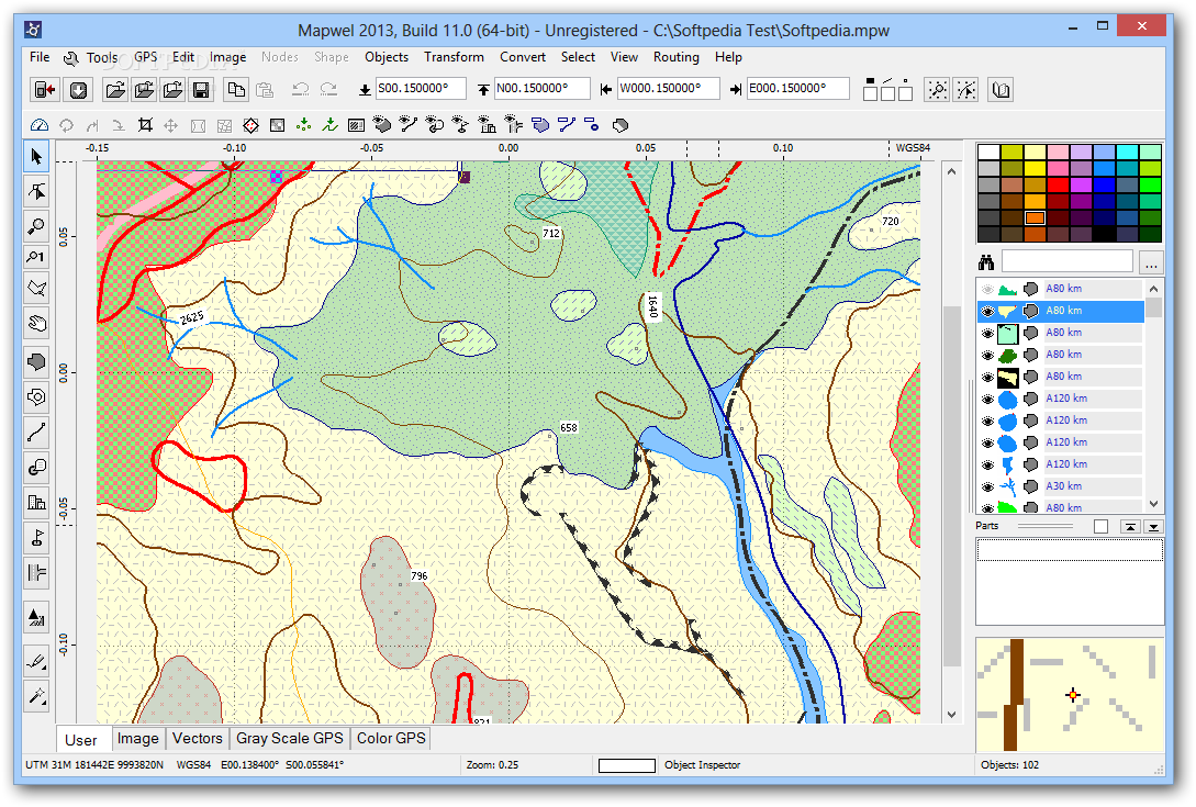
Object Inspector:
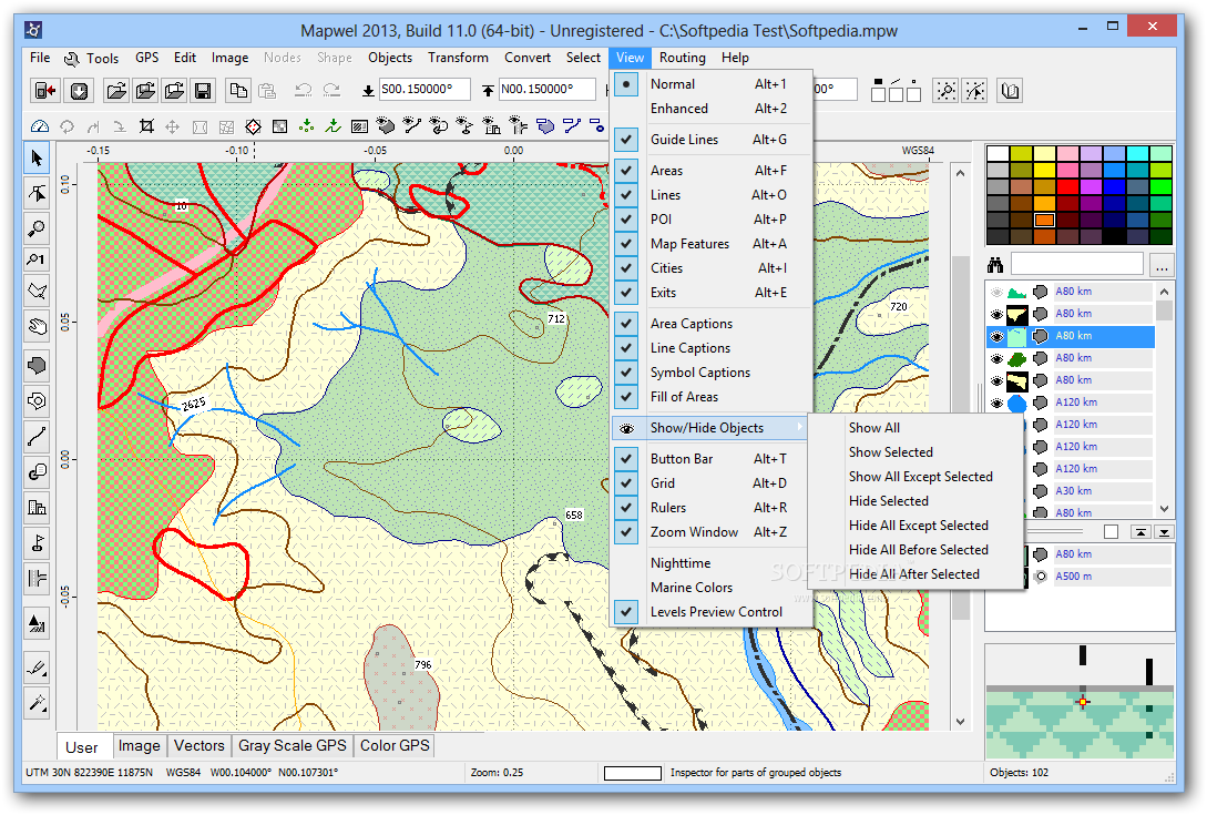
Object Inspector box at right side of the main Mapwel window displays information about respective map objects and simplifies the object manipulations. It also allows to select one or several objects in the work space.
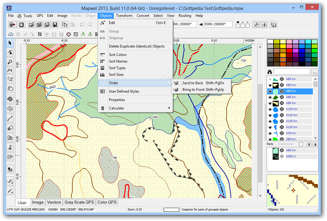
Properties of Objects:
Each object has adjustable properties like name, comment (text that is displayed in GPS when cursor stays on top of the object), type, max. zoom level, etc. POI (points of interest) may have address and phone number assigned.
It is also possible to define properties of the whole map, like name, copyright text, address format, internal map ID, map draw priority and zoom levels of map layers.
Map Uploading and Export:
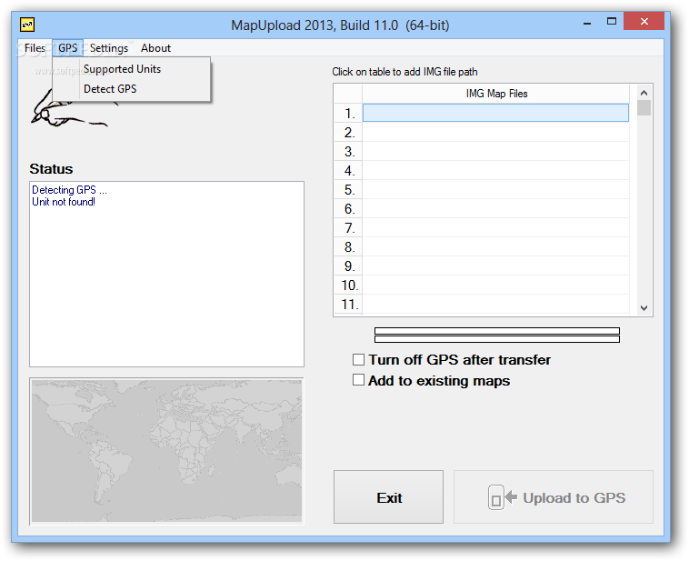
Finished map can be saved into Mapwel *.mpw file format, exported into *.img, *.kml or other supported format, or uploaded directly into the GPS. Export of map into other than *.mpw file is supported by Mapwel Advanced version only. Mapwel includes separate MapUpload program for loading *.img files into the GPS. MapUpload also allows to pack several img files into a single executable file to distribute to your friends or customers.
Where to buy?
Last updated price and discount information 9 years agoupdate now


 Windows 7 and above
 View Screenshots(13)
 Comments
 Download


 Similar Software
 Recently Searched
 Software Categories
 Trending Software


 Like Us


