Works on: Windows 10 | Windows 8.1 | Windows 8 | Windows 7 | Windows 2012 SHA1 Hash: 19661606dd578a7d9934ffbde36d020a2e967c0a Size: 21.33 MB File Format: exe
Rating: 2.56
out of 5
based on 25 user ratings
Downloads: 1770 License: Free
MicroDEM is a free software by Peter Guth and works on Windows 10, Windows 8.1, Windows 8, Windows 7, Windows 2012.
You can download MicroDEM which is 21.33 MB in size and belongs to the software category Science CAD. MicroDEM was released on 2013-12-10 and last updated on our database on 2017-03-11 and is currently at version 2013.11.
Thank you for downloading from SoftPaz! Your download should start any moment now. It would be great if you could rate and share:
Rate this software:
Share in your network:
MicroDEM Description
MicroDEM is a powerful application that allows you to work with maps and satellite imagery in order to view their content and merge the maps. The program allows you to analyze multiple map files and databases in a straight-forward interface.
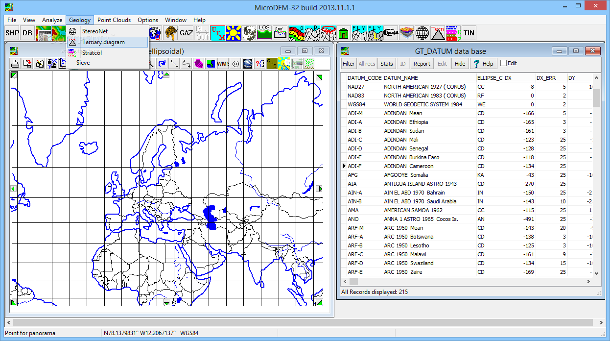
Specialists who create maps and process satellite imagery need to use a dedicated program in order to analyze and manipulate the data. GIS (geographical information system) applications come to satisfy these needs and provide multiple , s for merging and editing various file types.
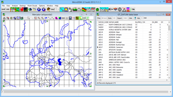
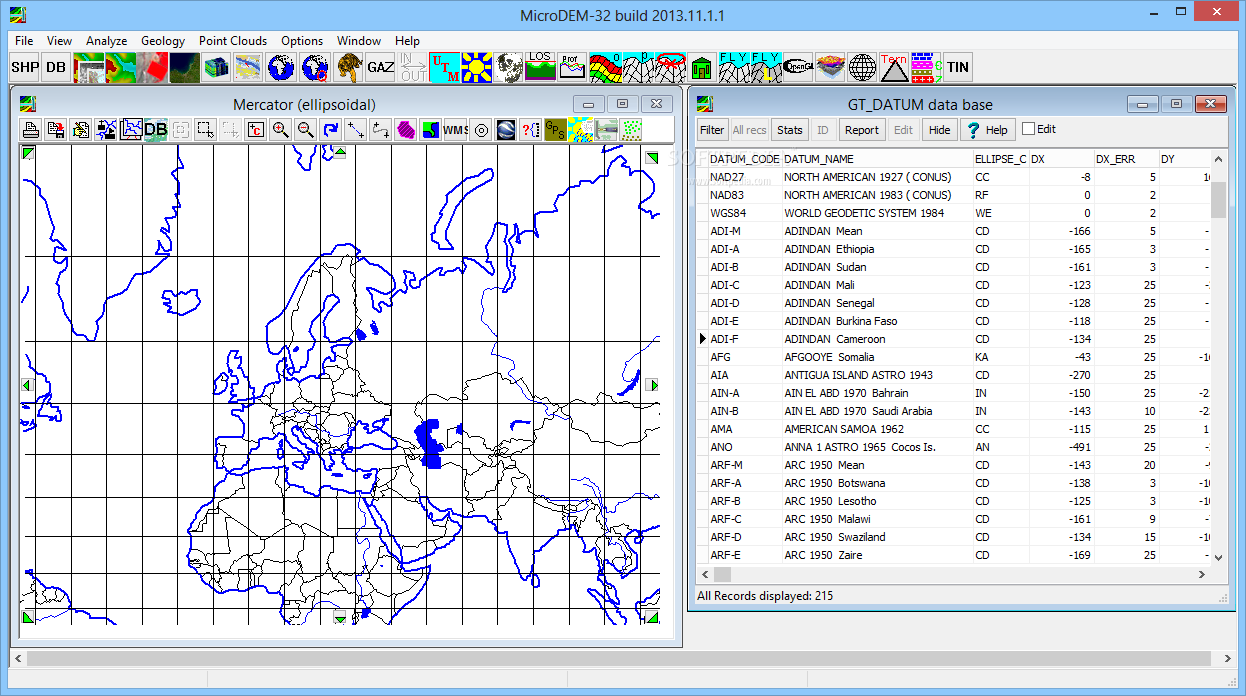
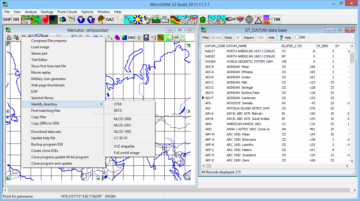
This application allows you to load multiple map files into your project. Thus, it can process DEM files, vector maps, popular image formats (JPG, PNG, BMP), GeoTIFF and geographic imagery datasets.
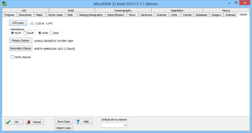
In order to create a complete map you need to add multiple data layers that include landmarks, buildings, vegetation and other relevant features. The program allows you to adjust the datum of every imagery file in order to accurately align all the layers.
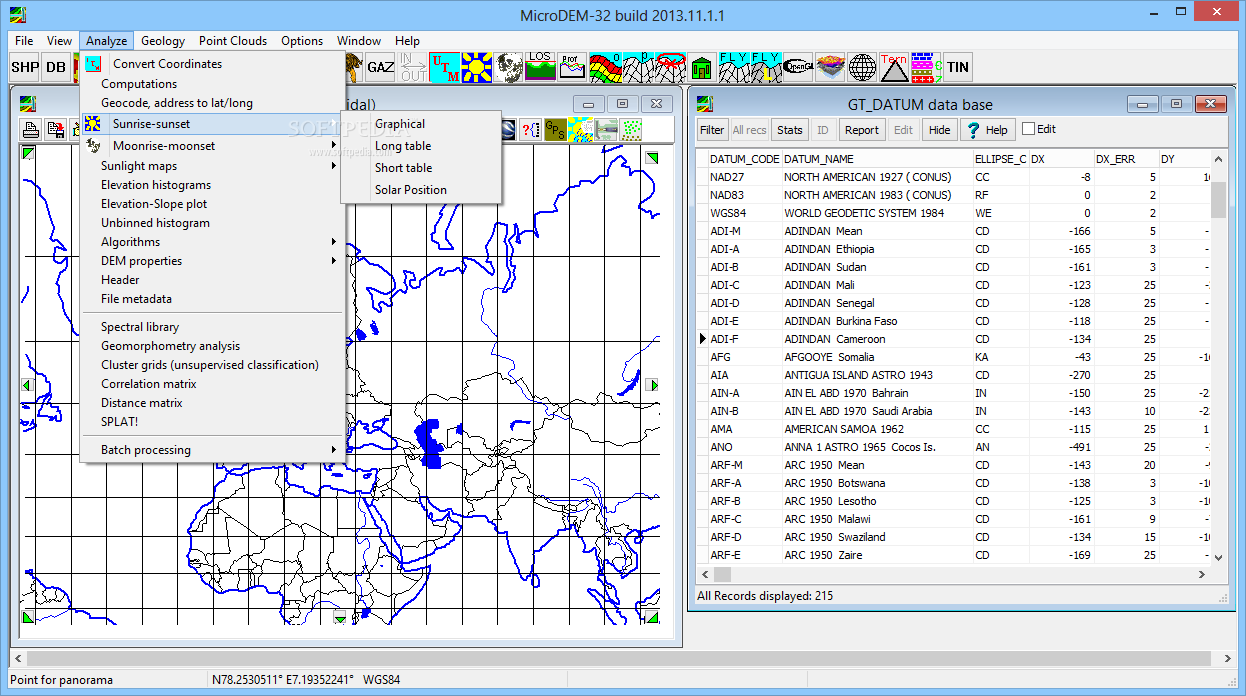
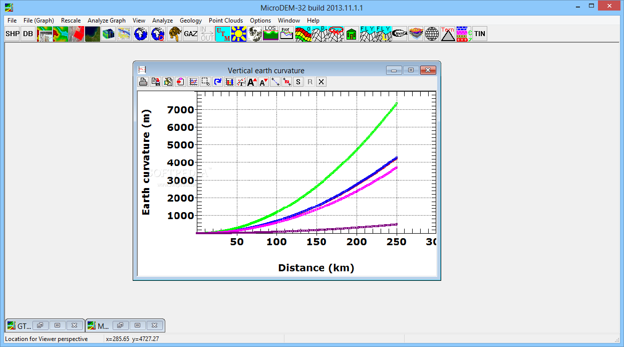
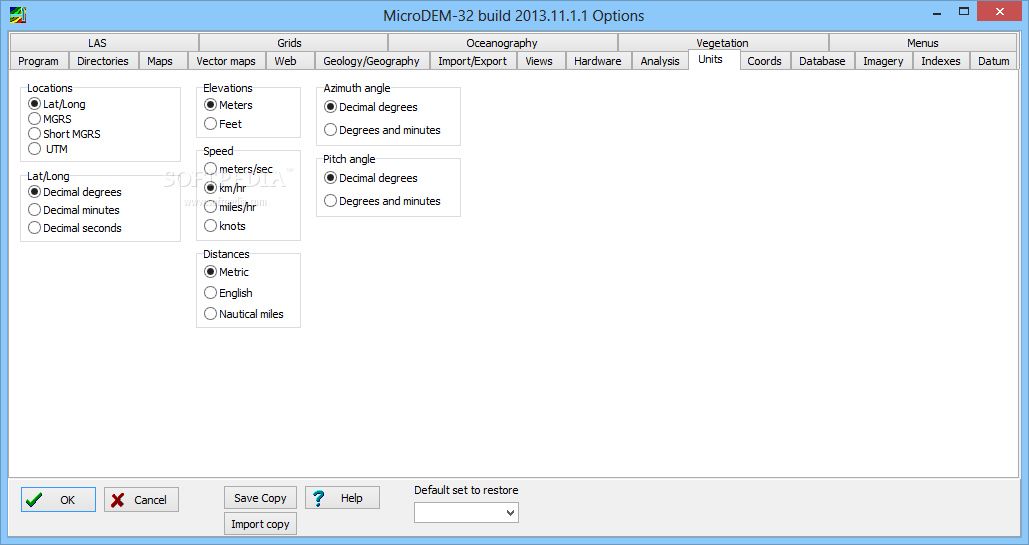
You can also download weather maps that can be added to your projects as an overlay. Moreover, the application includes multiple measurement tools that enable you to measure distances or areas and convert geographical coordinates.
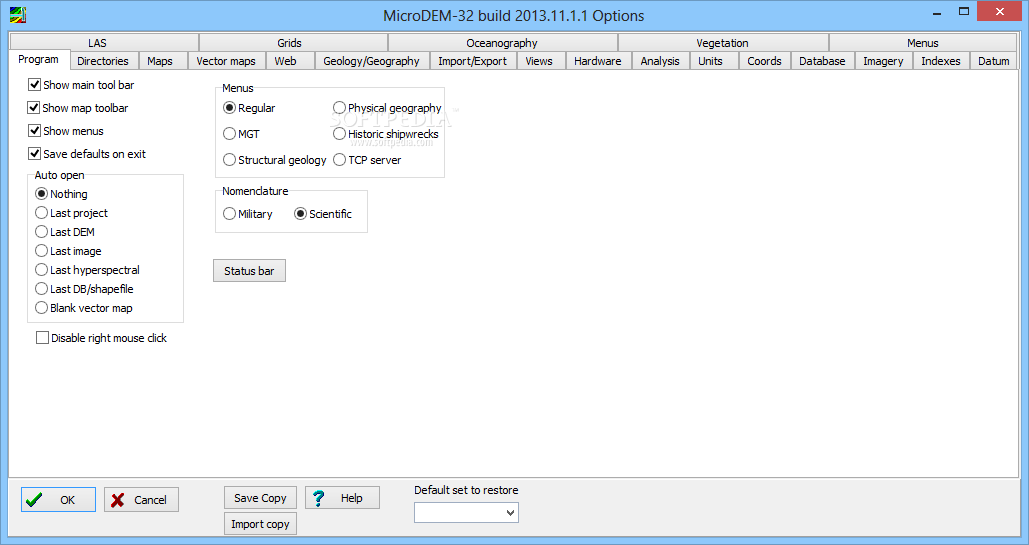
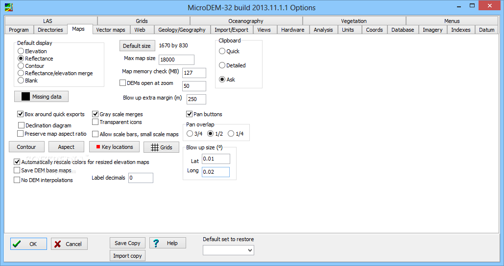
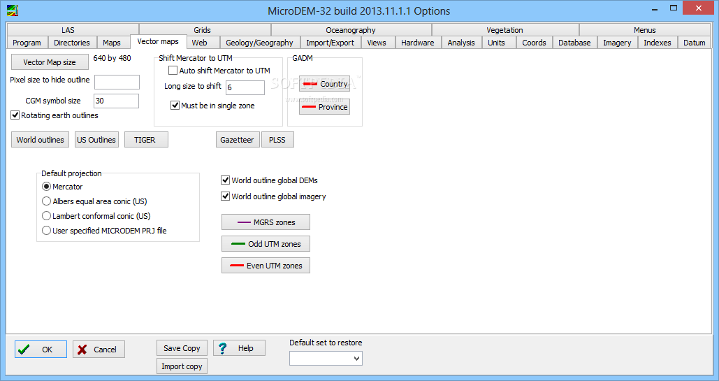
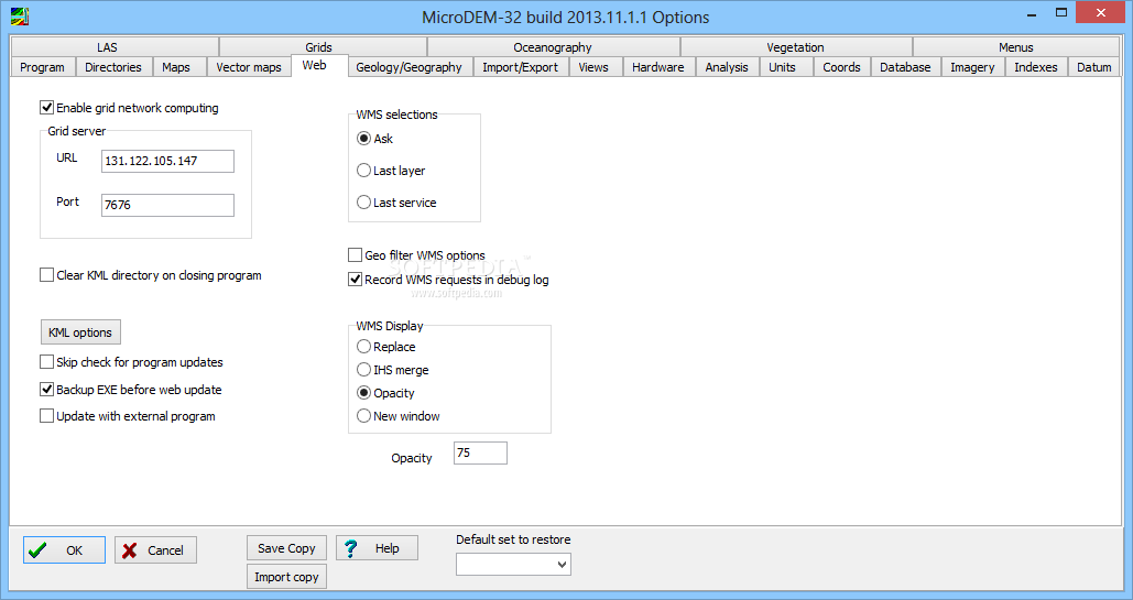
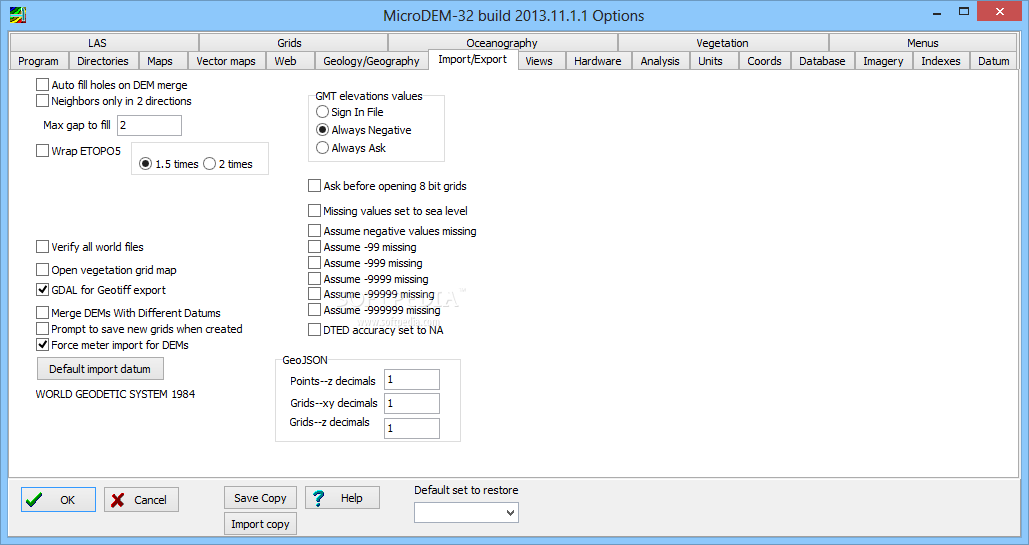
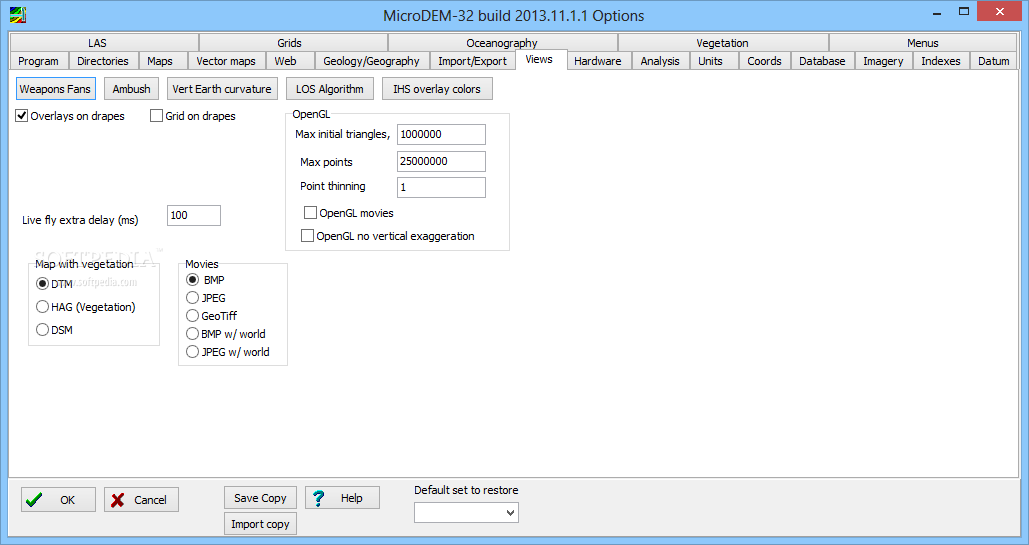
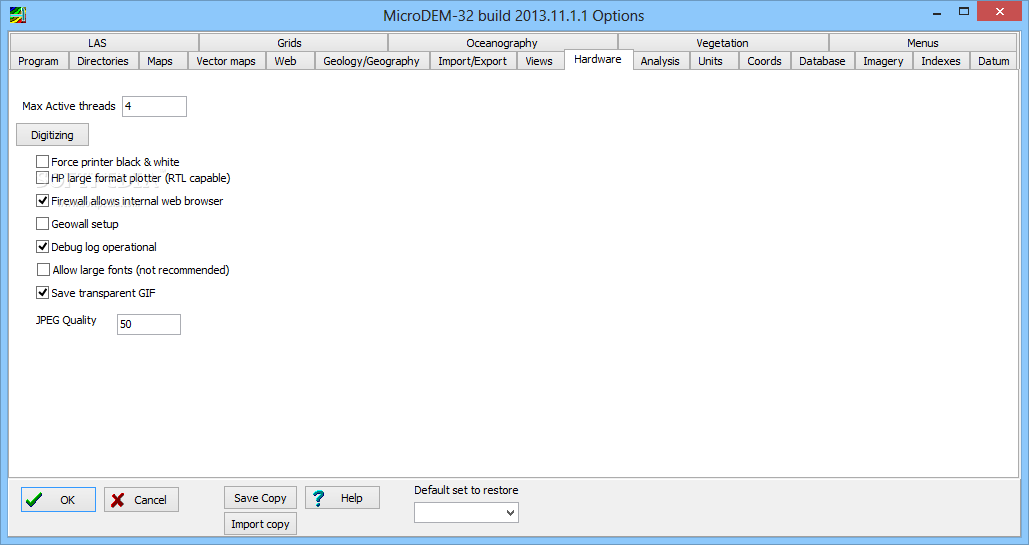
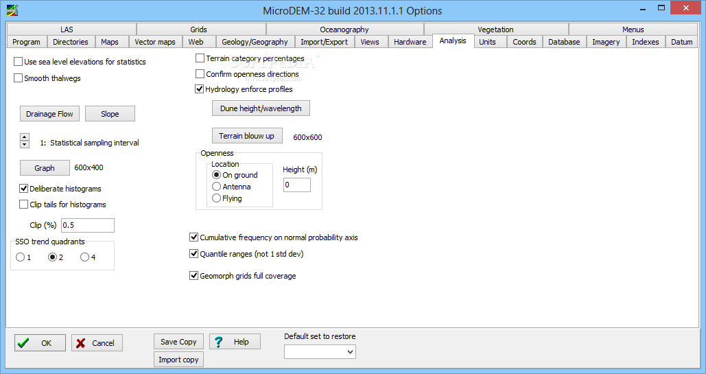
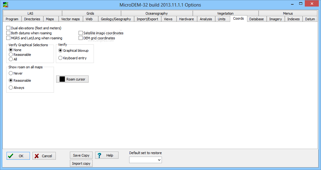
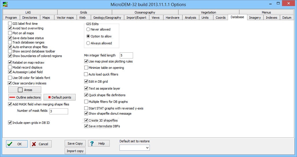
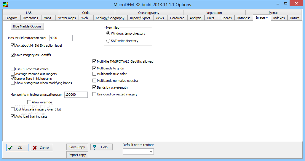
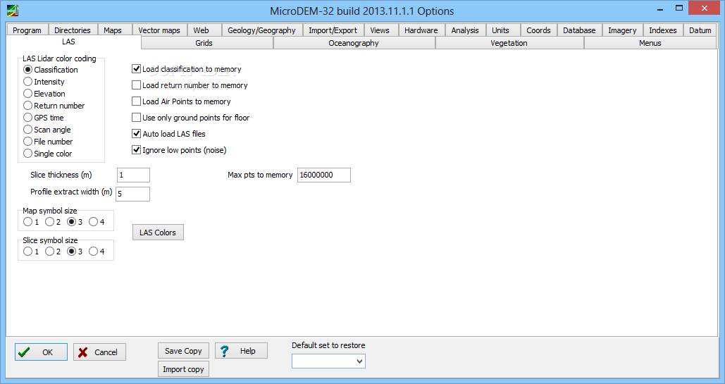
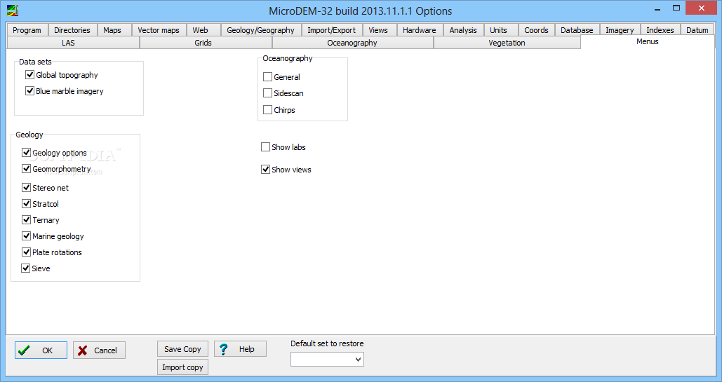
Usually, GIS tools are not designed for beginners and this program makes no exception. It includes multiple advanced tools and an extensive documentation but can be hard to use if you only want to create a simple map.
However, the documentation that you can download when you start the program for the first time includes references, detailed instructions and even GIS courses. Additional tutorials describe frequent operations such as comparing DEM files or manipulate GPS tracks.
If you have experience in using GIS applications, MicroDEM can be a suitable tool for analyzing and creating maps.


 Windows 7 and above
 View Screenshots(21)
 Comments
 Download


 Similar Software
 Recently Searched
 Software Categories
 Trending Software

 Like Us


