Works on: Windows 10 | Windows 8.1 | Windows 8 | Windows 7 | Windows 2008 | Windows 2012 SHA1 Hash: 19d14a4f49ec9c831a5d57c70add8b9612bc1619 Size: 49.07 MB File Format: exe
Rating: 2.608695652
out of 5
based on 23 user ratings
Downloads: 1850 License: Demo / Trial Version
MSatView is a demo software by MSatView.com and works on Windows 10, Windows 8.1, Windows 8, Windows 7, Windows 2008, Windows 2012.
You can download MSatView which is 49.07 MB in size and belongs to the software category Science CAD. MSatView was released on 2016-05-23 and last updated on our database on 2017-04-13 and is currently at version 0.01.
Thank you for downloading from SoftPaz! Your download should start any moment now. It would be great if you could rate and share:
Rate this software:
Share in your network:
MSatView Description
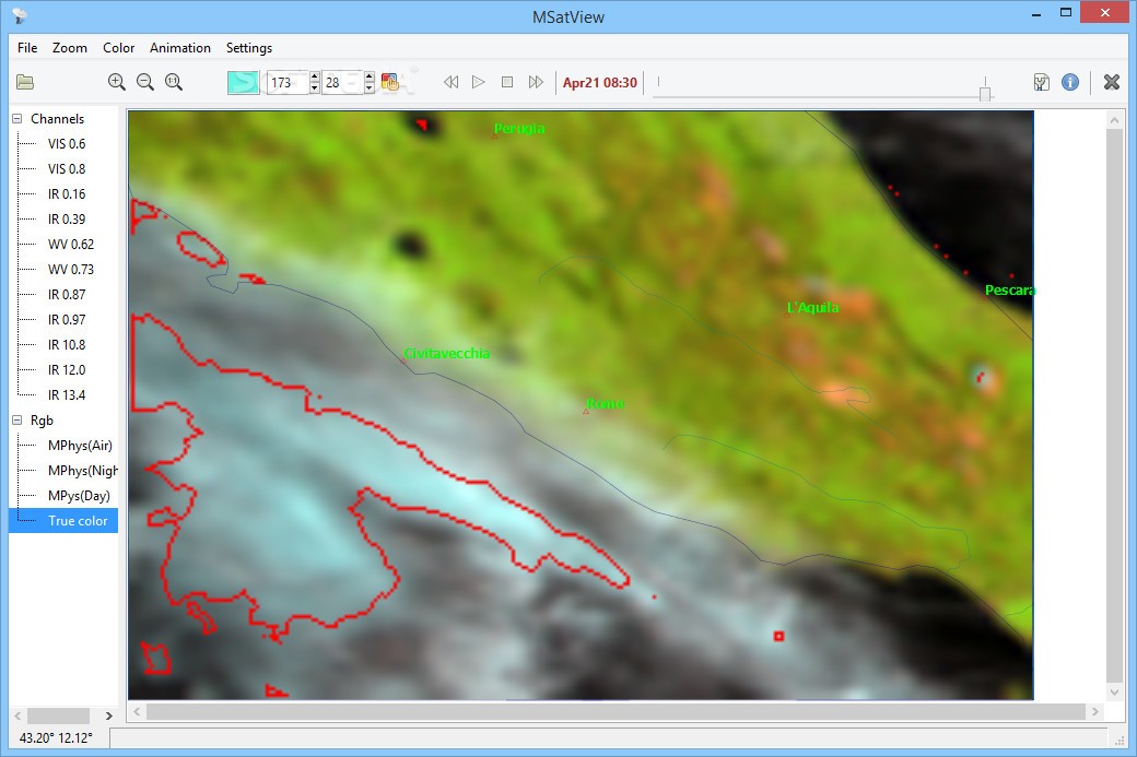
MSatView is a useful program designed to help you visualize and analyze meteorological satellite images. It can process data obtained from Meteosat Second Generation (MSG3 and Meteosat 10) geostationary meteorological satellites.
The application offers a decent set of features, and it comes with extensive documentation, but it is still in the early stages of development, which means that you should expect to encounter occasional bugs.
Powerful utility for visualizing and processing satellite data
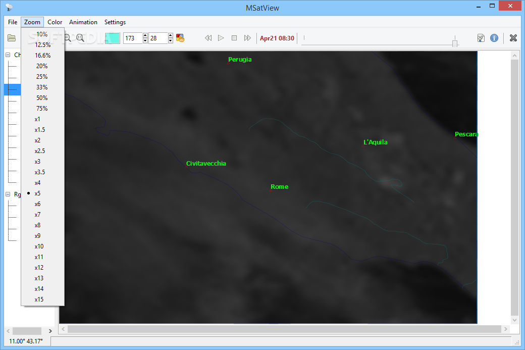
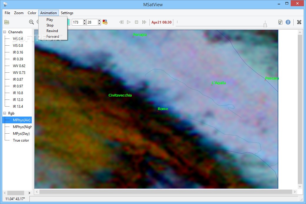
In case it was not already clear, MSatView is aimed at meteorologists who wish to analyze data gathered by MSG3 or Meteosat 10 geostationary satellites. It allows you to view all 11 channels, in both the IR and visible spectrum, and it supports a maximum spatial resolution of 3 km.
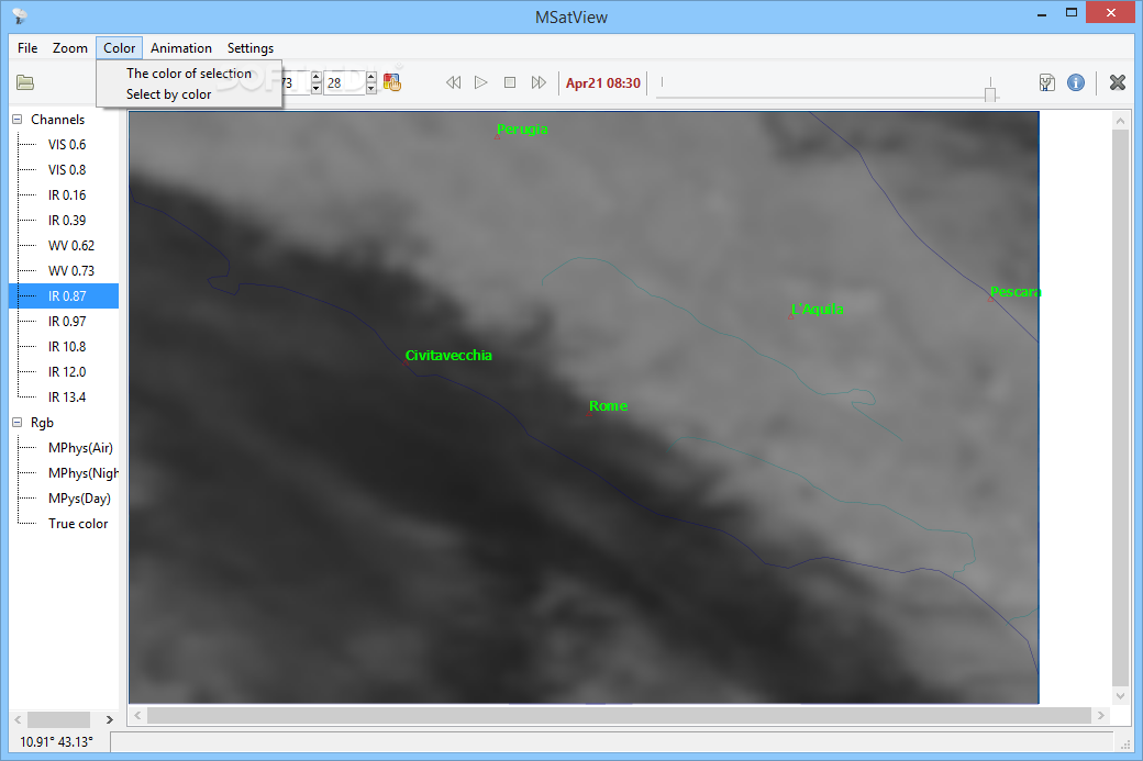
The application can also be used to compose pseudocolor images, merge a raster file with multiple vector layers to create maps and generate animations from a sequence of images or pseudocolor layers.
Combine images with multiple vector layers and analyze meteorological phenomena
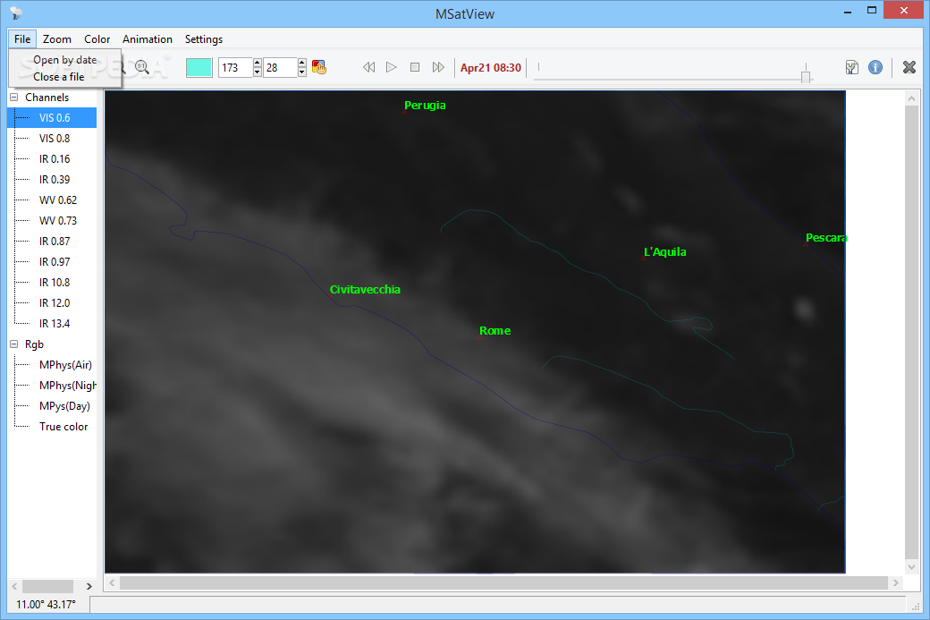
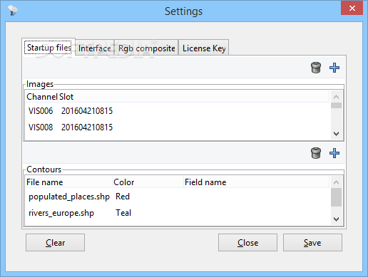
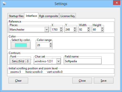
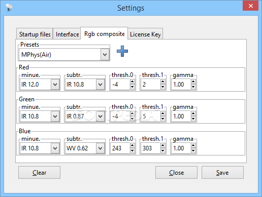
Data can be added by accessing the Startup files tab in the Settings menu. The selected images and contour files are imported when launching the program, and you can analyze the generated map in the main application window.
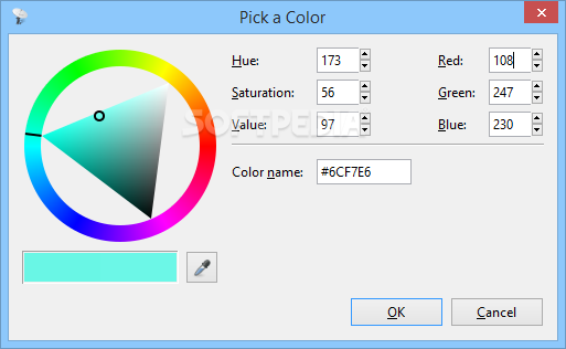
Once the satellite data has been loaded, you can switch between the various layers and alter the zoom level, as well as select regions with similar colors, thus highlighting storms or other atmospheric phenomena.
Complex program that offers decent documentation, but seems to have some stability issues
While MSatView is clearly aimed at specialists, it is pleasing to see that an extensive user manual is available.
Sadly, we did run into some stability issues when testing the application, as it sometimes crashed when switching between the WV and IR layers, as well as when attempting to close a file.
On the whole, however, MSatView is a great utility for users who need to process and analyze meteorological data obtained from Meteosat Second Generation satellites. It offers quite a few useful features, along with comprehensive documentation, and the ramaining bugs are likely to be addressed in future releases.


 Windows 2008 and above
 View Screenshots(9)
 Comments
 Download


 Similar Software
 Recently Searched
 Software Categories
 Trending Software


 Like Us


