Works on: Windows 10 | Windows 8.1 | Windows 8 | Windows 7 | Windows XP | Windows 2000 | Windows 2003 | Windows 2008 | Windows Vista | Windows 2012 SHA1 Hash: c49a0d45fbabd07e8edca4e2eb51f4a008001e58 Size: 32.54 MB File Format: zip
Rating: 2
out of 5
based on 23 user ratings
Downloads: 120 License: Free
OpenJUMP Plus Portable is a free software by OpenJUMP and works on Windows 10, Windows 8.1, Windows 8, Windows 7, Windows XP, Windows 2000, Windows 2003, Windows 2008, Windows Vista, Windows 2012.
You can download OpenJUMP Plus Portable which is 32.54 MB in size and belongs to the software category Graphic. OpenJUMP Plus Portable was released on 2013-01-30 and last updated on our database on 2017-04-25 and is currently at version 1.5.
Thank you for downloading from SoftPaz! Your download should start any moment now. It would be great if you could rate and share:
Rate this software:
Share in your network:
OpenJUMP Plus Portable Description
OpenJUMP is an open source Geographic Information System (GIS) written in the Java programming language. It has limited support for the display of images and good support for showing data retrieved from WFS and WMS web-services. So you can use it as GIS Data Viewer. You can edit geometry and attribute data. One can style the appearance of data in OpenJUMPs map display and can export the view to SVG. A growing number of vector analysis tools for topologic analysis and overlay operations are available too. Features include vector GIS (that can read rasters as well), provides open API and plug-in system, edit, save, analyze, conflate, and display your GIS data, vector formats: read GML, SHP, DXF, and JML and write GML, SHP, DXF, JML, and SVG, raster formats: read MIF, TIFF, JPG, ECW, and JP2 and write JPG, database access: read PostGIS, ArcSDE, Oracle, MySQL, and SpatialLite and write PostGIS, archives and compressed files: read zip, tar, tar.gz, tar.bz2, gz, and bz2, supports OGC standards WMS and WFS (-T), GML 2, SLD, and SFS, topology tools: line noder, polygonizer, and planar graph, raster analysis via SEXTANTE connector, attribute transfer tools (1:1 transfer, or n:1 transfer), calculating length, area, centroid, buffer, and convex hull, spatial and attribute query functions, rotating, scaling, auto-complete polygon, cut, merge, simplify polygons, and lines, warping, quality and assurance tools, map generalization functions, sophisticated print out capability, and functionality provided via additional plug-in.


 Windows XP and above
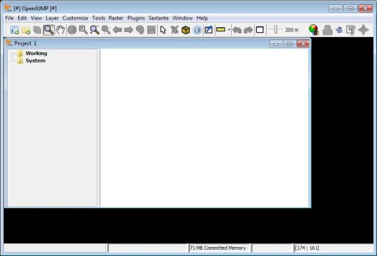
 View Screenshots(1)
 Comments
 Download


 Similar Software


 Recently Searched
 Software Categories
 Trending Software


 Like Us


