Works on: Windows 10 | Windows 8.1 | Windows 8 | Windows 7 | Windows XP | Windows 2000 | Windows 2003 | Windows 2008 | Windows Vista | Windows 2012 SHA1 Hash: 226b98687cee55091bc741a12286c9ee576eb46c Size: 3.52 MB File Format: exe
Rating: 1.956521739
out of 5
based on 23 user ratings
Publisher Website: External Link Downloads: 491 License: Demo / Trial Version
PixGPS is a demo software by BR Software and works on Windows 10, Windows 8.1, Windows 8, Windows 7, Windows XP, Windows 2000, Windows 2003, Windows 2008, Windows Vista, Windows 2012.
You can download PixGPS which is 3.52 MB in size and belongs to the software category Graphic. PixGPS was released on 2015-09-08 and last updated on our database on 2017-04-06 and is currently at version 1.1.
Thank you for downloading from SoftPaz! Your download should start any moment now. It would be great if you could rate and share:
Rate this software:
Share in your network:
PixGPS Description
Although the Earth's dimensions have largely remained the same for millions of years, distances across the globe have considerably shortened, due to the increase in the number of available transportation devices, as well as their overall performance. As such, tourism has flourished and multiple digital tools can be employed to assist travelers in storing their memories in beautiful and accurate documents.
Modify EXIF metadata to reflect the location where the photo was taken
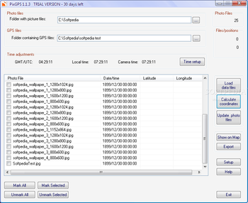
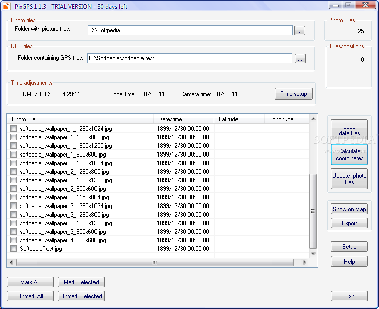
PixGPS is one such application that allows its users to edit the EXIF metadata of JPEG source images, so as to include the rough position where the photo was taken. This is not performed manually and requires users to provide valid GPX track files from any GPS devices. Once both these items are loaded into the program, the application will automatically link coordinates to the source pictures.
One of the great features of this practical application is its support for batch operations, as users select entire folders for both picture and GPS source items. What's more, one is free to selectively parse items, as simple checkboxes can be employed to discard entries from the process.
Make copies of source JPGs
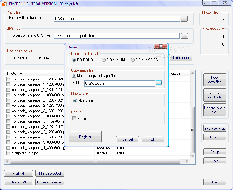
Exact positions can be exported to CSVs with customized field separators, as well as KML Google Earth documents. It should be noted that the program does not provide any additional geotagging services, so the accuracy of the results depends exclusively on the precision of the source GPS track files.
Several functions can be employed to provide users with an improved experience, such as the ability to perform time adjustments, in the event that camera timers were incorrectly set up. If configured as such the program can also create backup images and the coordinates format used can also be modified.
A simple method of adding positional coordinates to JPG pictures, provided GPX files are available
In conclusion, PixGPS is a practical utility for anyone who travels on a regular basis, as it allows its users to attach latitude and longitude information to their JPG images. The application requires corresponding valid GPS track files and processes can target entire directories.
Where to buy?
Last updated price and discount information 9 years agoupdate now


 Windows XP and above
 View Screenshots(2)
 Comments
 Download


 Similar Software
 Recently Searched
 Software Categories
 Trending Software
 Like Us


