Version: 3.1 Last Updated: 09 Mar 2017 Release: 10 Feb 2011 Category: Business > Applications
Rate this software:
116 downloads
View Screenshots(7)
Comments
Download
Liked it? Tell others:
Polymap Details
Works on: Windows 10 | Windows 8.1 | Windows 8 | Windows 7 | Windows 2012 SHA1 Hash: dd8d7c4d1385159f5e82bd1e172088a6ad286cc6 Size: 7.76 MB File Format: exe
Rating: 2.0
out of 5
based on 23 user ratings
Publisher Website: External Link Downloads: 116 License: Demo / Trial Version
Polymap is a demo software by Ambiente Informatica Ltda and works on Windows 10, Windows 8.1, Windows 8, Windows 7, Windows 2012.
You can download Polymap which is 7.76 MB in size and belongs to the software category Applications. Polymap was released on 2011-02-10 and last updated on our database on 2017-03-09 and is currently at version 3.1.
Thank you for downloading from SoftPaz! Your download should start any moment now. It would be great if you could rate and share:
Rate this software:
Share in your network:
Polymap Description
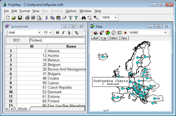
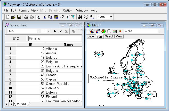
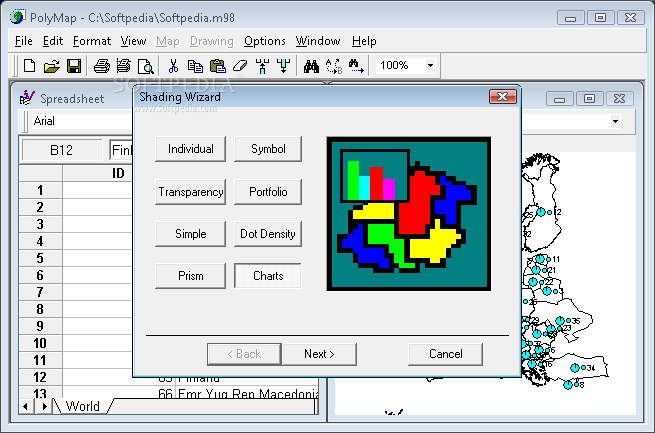
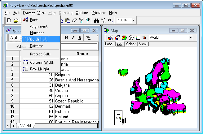
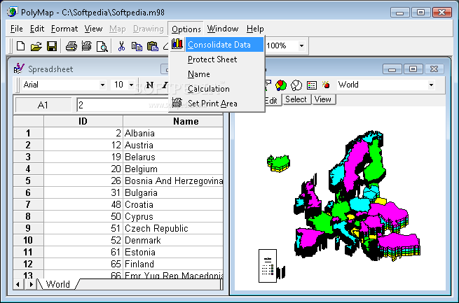
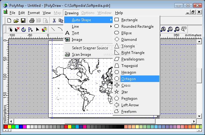
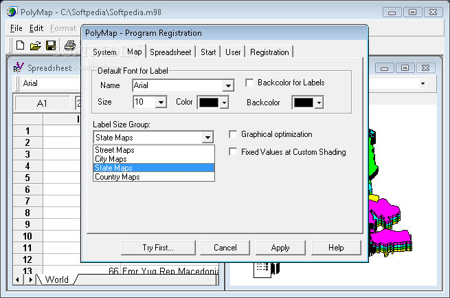
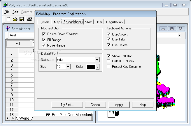
PolyMap is a desktop mapping program that lets you use your own data to customize the maps supplied with the program. Use the built-in spreadsheet to enter data or paste it from other Windows applications. Alternatively, you can use the import feature to bring in data from external spreadsheets, text, or database files. The Map Presentation Wizard gives you a step-by-step process to customize your map and the map's legend. Any data in a spreadsheet column may be utilized for labeling. You may use a set of geographic layers in different formats (state and county boundaries, five-digit ZIP codes, U.S. and state highways, cities, rivers, and lakes) to add details and create your new thematic map. For instance, state and county boundaries can be "extruded" to 3D prisms, shaded in color, "sprayed" with a dot-density distribution, embedded with individual pie and bar charts, or placed into a matrix for portfolio analysis. New custom point layer can be added to the maps. Maps and spreadsheets may be printed with any Windows-compatible printer.
Maps can be exported to Bitmap format (.bmp) enhanced Metafile (.emf) PNG (.png) JPEG (.jpg) and Adobe Acrobat (.pdf). PolyMap send JPG Bitmaps of the maps as attachment, to any e-mail address using MAPI compatible e-mail clients like Outlook Express or Mozilla Thunderbird.
This trial version will function for only 30 days and comes with only a fraction of the maps available in the registered edition. Additional sample maps, WiKi documentation and a tutorial are available from the PolyMap Website.
New Functions: Charting Module, Export to PDF format, Consolidate Data, Radius select, Map to Web link, Geocoding
Where to buy?
Last updated price and discount information 9 years agoupdate now



 Windows 7 and above
 View Screenshots(7)
 Comments
 Download





 Similar Software


 Recently Searched
 Software Categories
 Trending Software

 Like Us

