Works on: Windows 10 | Windows 8.1 | Windows 8 | Windows 7 | Windows XP | Windows 2000 | Windows 2003 | Windows 2008 | Windows Vista | Windows 2012 SHA1 Hash: 3b1f788ba8bda12d4023cf69febbe133f8217dc6 Size: 6.47 MB File Format: exe
Rating: 2.52173913
out of 5
based on 23 user ratings
Publisher Website: External Link Downloads: 1315 License: Free
SARTrack is a free software by SARTrack Limited and works on Windows 10, Windows 8.1, Windows 8, Windows 7, Windows XP, Windows 2000, Windows 2003, Windows 2008, Windows Vista, Windows 2012.
You can download SARTrack which is 6.47 MB in size and belongs to the software category Miscellaneous. SARTrack was released on 2016-11-09 and last updated on our database on 2017-04-16 and is currently at version 0.9.
Thank you for downloading from SoftPaz! Your download should start any moment now. It would be great if you could rate and share:
Rate this software:
Share in your network:
SARTrack Description
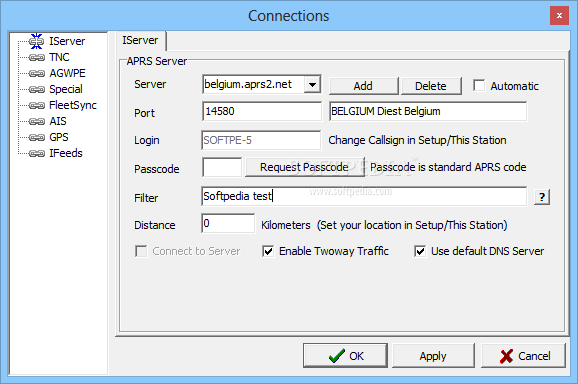
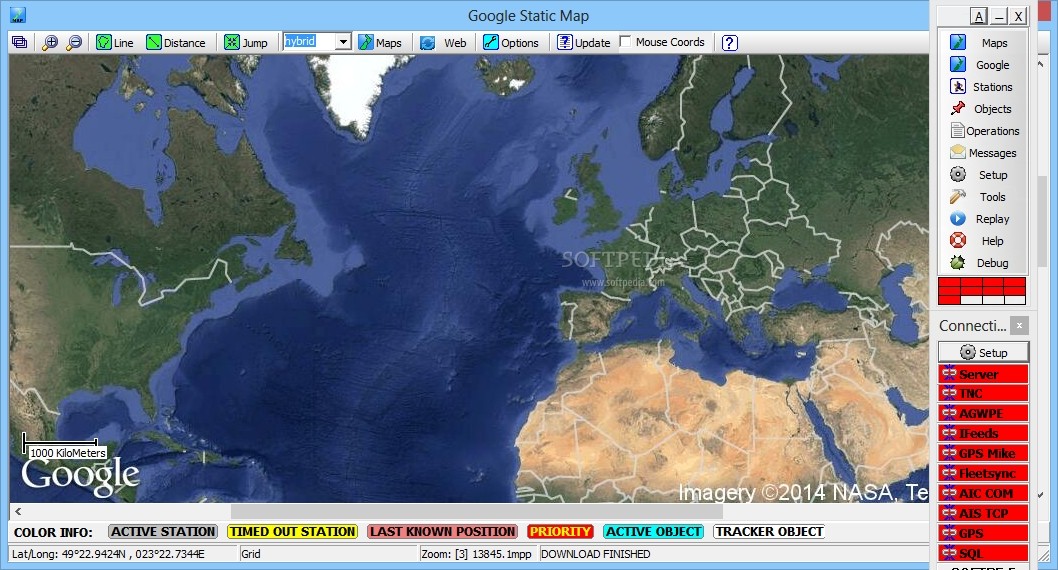
SARTrack is a comprehensive application that can display APRS trackers on the world map and help you communicate with search and rescue teams in the field, from your desktop. The software allows you to connect to global servers and send out the position of your team for live tracking. Moreover, you can easily mark other teams’ location on the map.
Radio-desktop rescue system
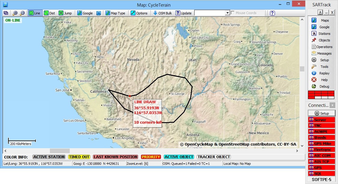
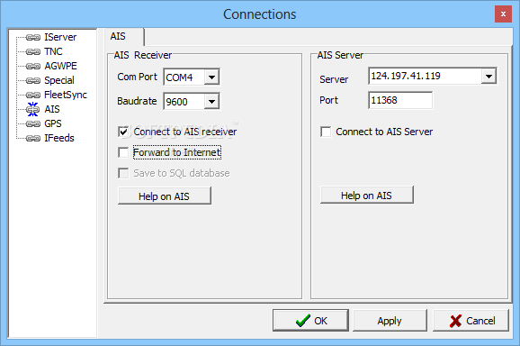
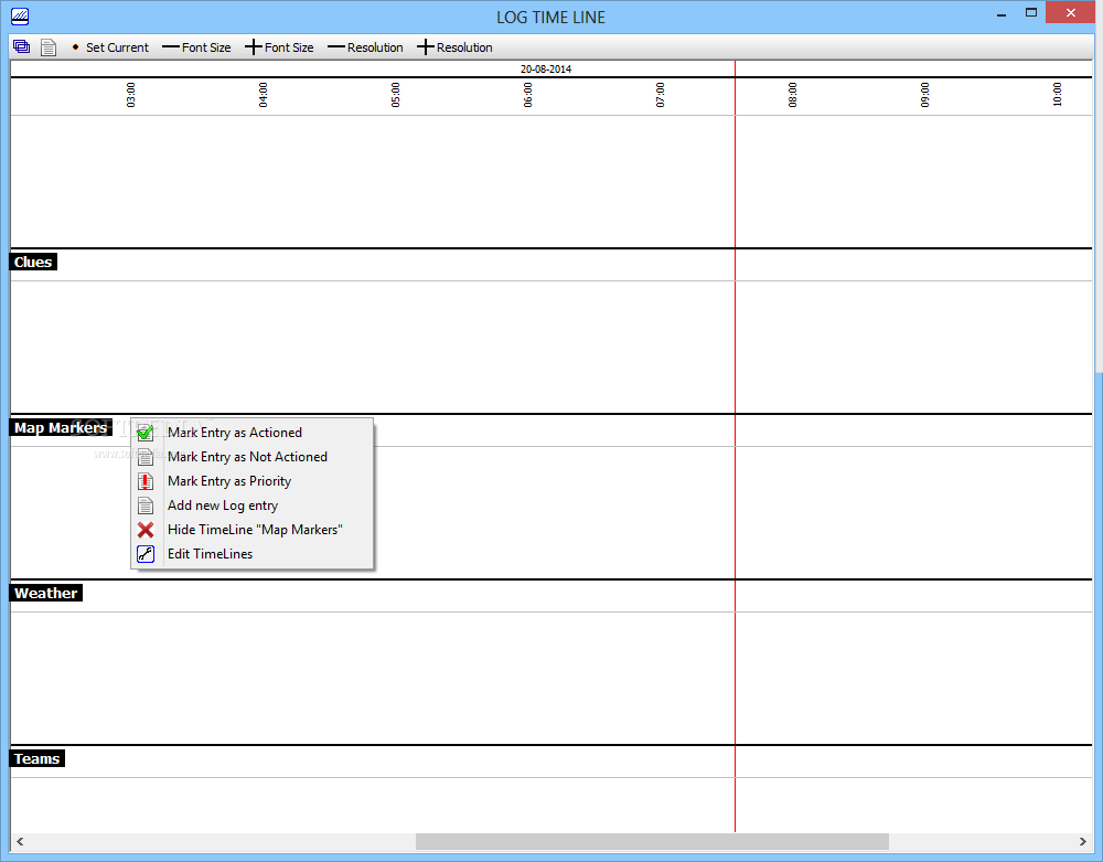
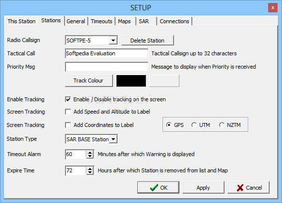
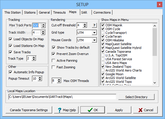
SARTrack allows you to locate and monitor multiple APRS radio stations at the same time and mark their position on a topographical representation. The aim of the software is to gather as much live data as possible and store it on your computer, in order for you to be able to perform the tasks even with no Internet connection.
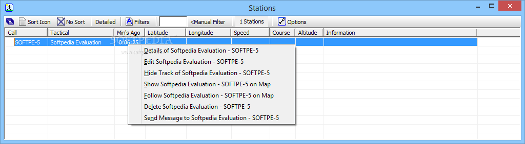
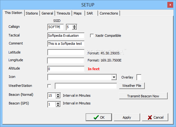
As a user, you are a station (or tracker) and you are assigned a tactical callsign, a color track, a customizable icon and screen label. Each of these elements can be displayed on the map in order to identify your location, according to your personal preferences: you may choose to mark your location by your tactical callsign, coordinates, speed, altitude or course.
Easy to handle interface
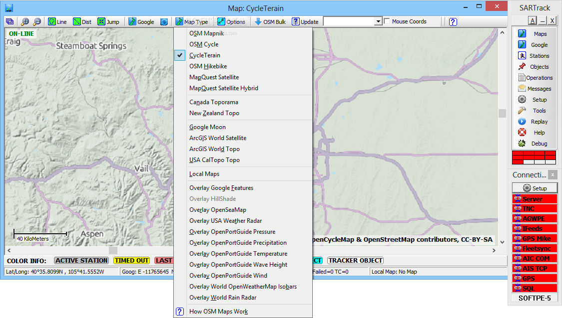
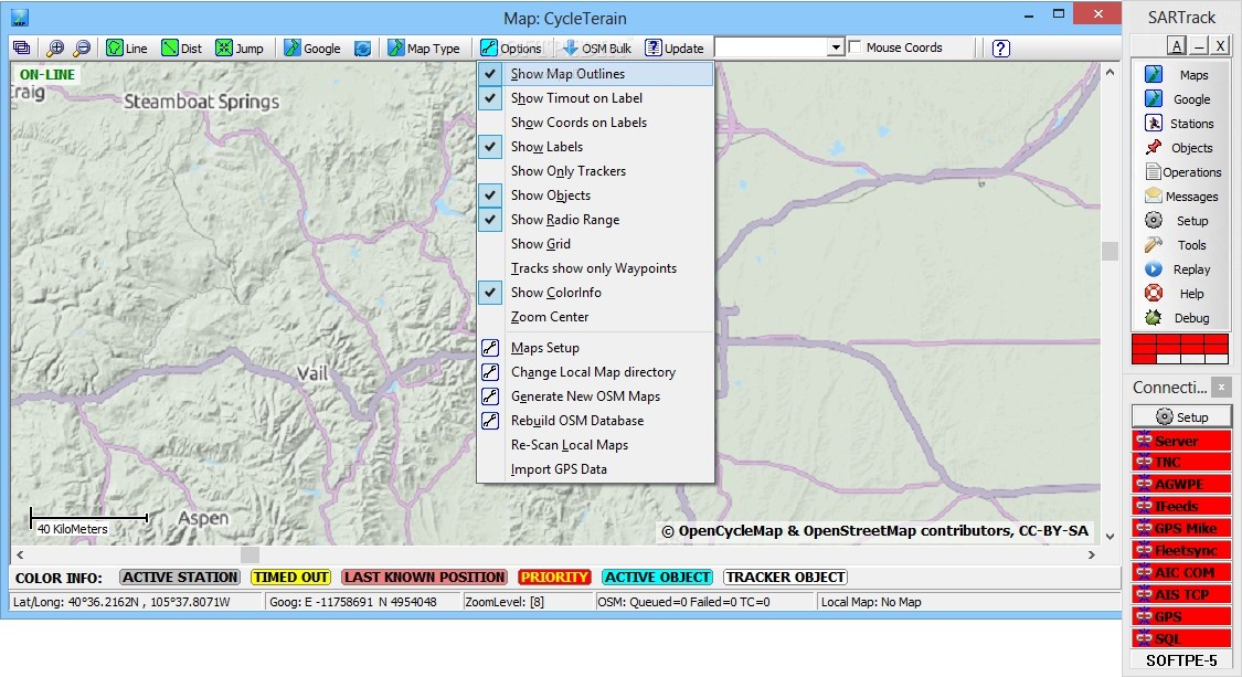
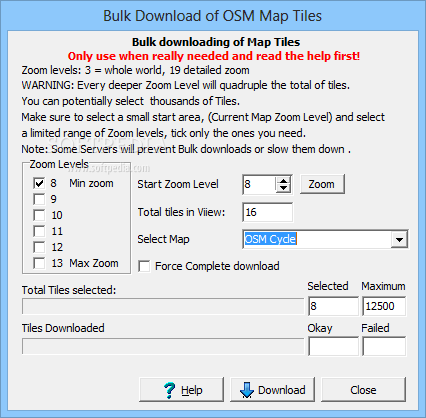
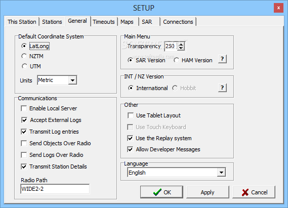
SARTrack is designed as an un-docked application, meaning that each function is displayed in a separate window, which facilitates its use on a multi-monitor setup. The maps are provided through several services, including Google, MapQuest Satellite, ArcGIS World Satellite, OpenSeaMap, Canada Toporama or NewZealand Topo. The software supports multiple maps displayed in transparency layers one on top of another.
Moreover, you may view terrain maps, topographical views, temperature, radar, wind, pressure, precipitation or wave height representations, offered by certain online services. Moreover, you may view a list of all the stations in your tracking area, significant objects, such as first aid centers or operations headquarters.
Search and rescue monitoring
SARTrack is the desktop assistance software that enables you to locate search and rescue teams in the field and perform live radio tracking for emergency situations. The software can locate the signals emitted by GPS devices. It is a highly useful application designed to gather data and store it on your computer, in order to make your station a mapping knowledge base that you can access even without Internet connection.


 Windows XP and above
 View Screenshots(14)
 Comments
 Download


 Similar Software
 Recently Searched
 Software Categories
 Trending Software

 Like Us


