Works on: Windows 10 | Windows 8.1 | Windows 8 | Windows 7 | Windows 2012 SHA1 Hash: 0a89b0c1897b24c51d90db4ef20f2aa219ff2039 Size: 1.69 MB File Format: zip
Rating: 2.565217391
out of 5
based on 23 user ratings
Downloads: 1321 License: Free
SeaClear Portable is a free software by Sping and works on Windows 10, Windows 8.1, Windows 8, Windows 7, Windows 2012.
You can download SeaClear Portable which is 1.69 MB in size and belongs to the software category Science CAD. SeaClear Portable was released on 2012-03-23 and last updated on our database on 2017-03-04 and is currently at version 1.
Thank you for downloading from SoftPaz! Your download should start any moment now. It would be great if you could rate and share:
Rate this software:
Share in your network:
SeaClear Portable Description
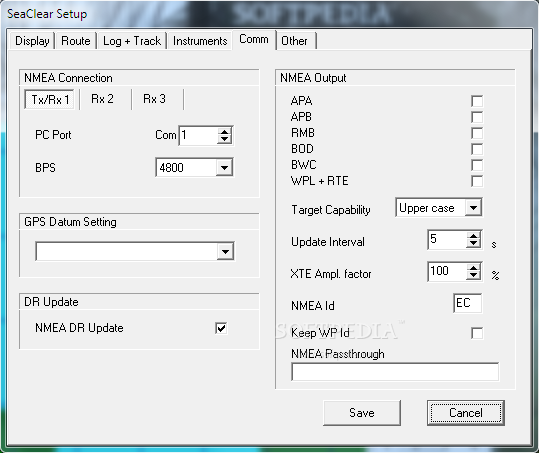
GPS:
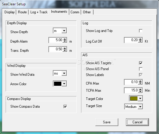
The GPS must be capable of transmitting NMEA 0183 1.5 or higher messages. Most modern GPS units with PC communication will work. Virtual serial ports, such as USB GPS units with serial drivers, are supported. Optionally other NMEA instruments may be connected. Depth, Compass and Wind is displayed if present. With AIS receiver connected targets are displayed on screen. On units capable of receiving NMEA waypoint and route data, uploading from the PC is supported.
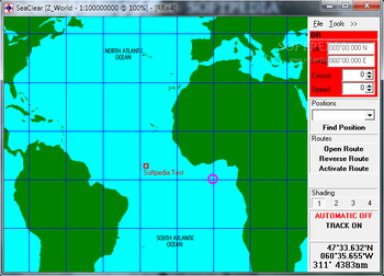
Charts:
SeaClear II uses raster charts and can use most BSB/KAP version 1 - 3 and GEO/NOS commercial charts. Encrypted charts, like BSB/CAP can not be used. Most common projections are supported. Chart datum's are supported. You can add your own charts, scan or capture them, save as PNG, BMP or other common format. Skewed and rotated charts can be calibrated. Chart border can be set to reduce the actual chart area.
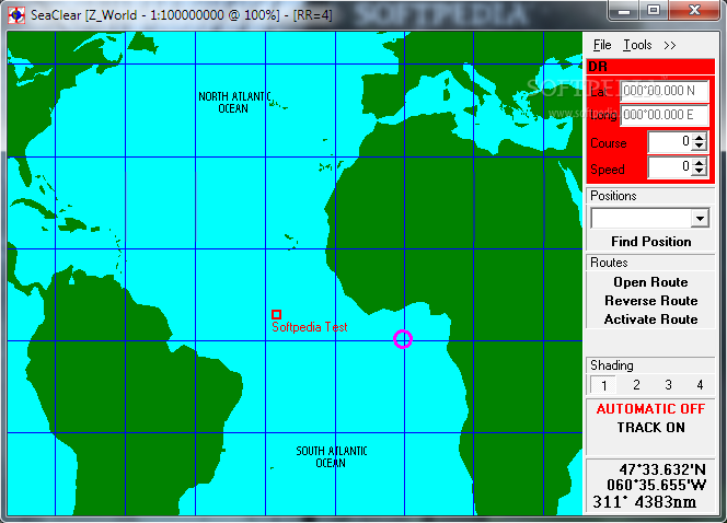
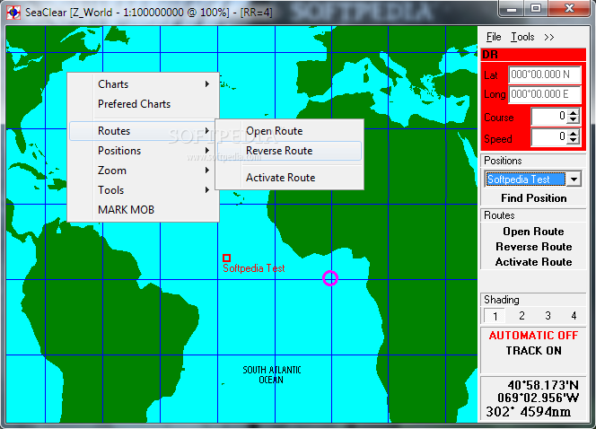
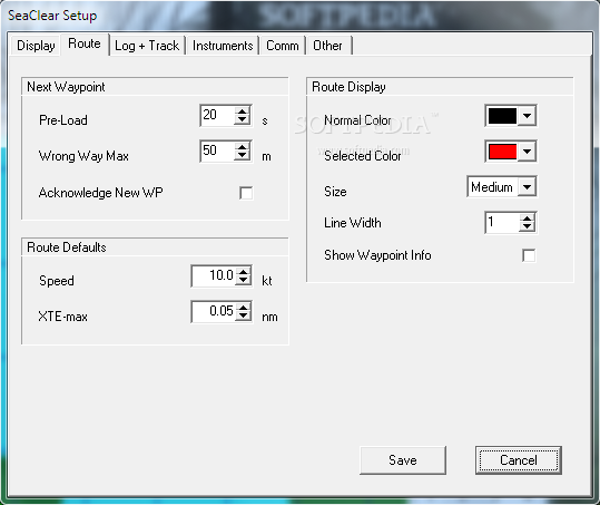
Routes:
Unlimited number of routes are easily created. Maximum number of route points limited by memory only. Several routes may be joined. Tracks can be imported. Cross track error alarm. Calculation of time to go, total time to go, bearings, steering indicator and output to NMEA.
Waypoints:
Unlimited number of waypoint files can be created. Maximum number of waypoints limited by memory only. Multiple files can be merged. Quick locate of waypoint loads map and centers waypoint on screen.
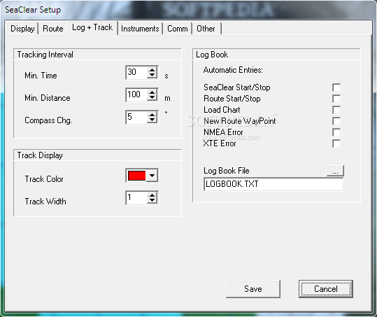
Tracks:
Tracks are saved to file and plotted. Saved tracks can later be plotted and used to create routes.
Logbook:
Automatic and manual log book entries into a text file.
Import / Export:
Import and export of routes, waypoints and tracks using G7ToWin and to G7T and Waypoint+ text file format. Export of waypoints and routes to supporting NMEA devices.
Language independent:
Most text and menus can be user translated to any language without any special tools.
Several languages are included (Documentation file in English).
Other:
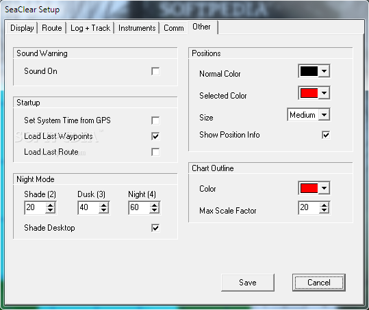
NMEA Depth, Wind, Compass and AIS. GPS based Log, Hours and estimated fuel consumption. Night modes with shaded charts.


 Windows 7 and above
 View Screenshots(8)
 Comments
 Download


 Similar Software
 Recently Searched
 Software Categories
 Trending Software

 Like Us


