Works on: Windows 10 | Windows 8.1 | Windows 8 | Windows 7 | Windows 2012 SHA1 Hash: ac9e229bd32a800548a2ce6df0c88eaba67b2837 Size: 3.89 MB File Format: exe
Rating: 1.869565217
out of 5
based on 23 user ratings
Publisher Website: External Link Downloads: 1200 License: Demo / Trial Version
ShipPlotter is a demo software by COAA and works on Windows 10, Windows 8.1, Windows 8, Windows 7, Windows 2012.
You can download ShipPlotter which is 3.89 MB in size and belongs to the software category Miscellaneous. ShipPlotter was released on 2016-06-14 and last updated on our database on 2017-04-13 and is currently at version 12.5.
Thank you for downloading from SoftPaz! Your download should start any moment now. It would be great if you could rate and share:
Rate this software:
Share in your network:
ShipPlotter Description
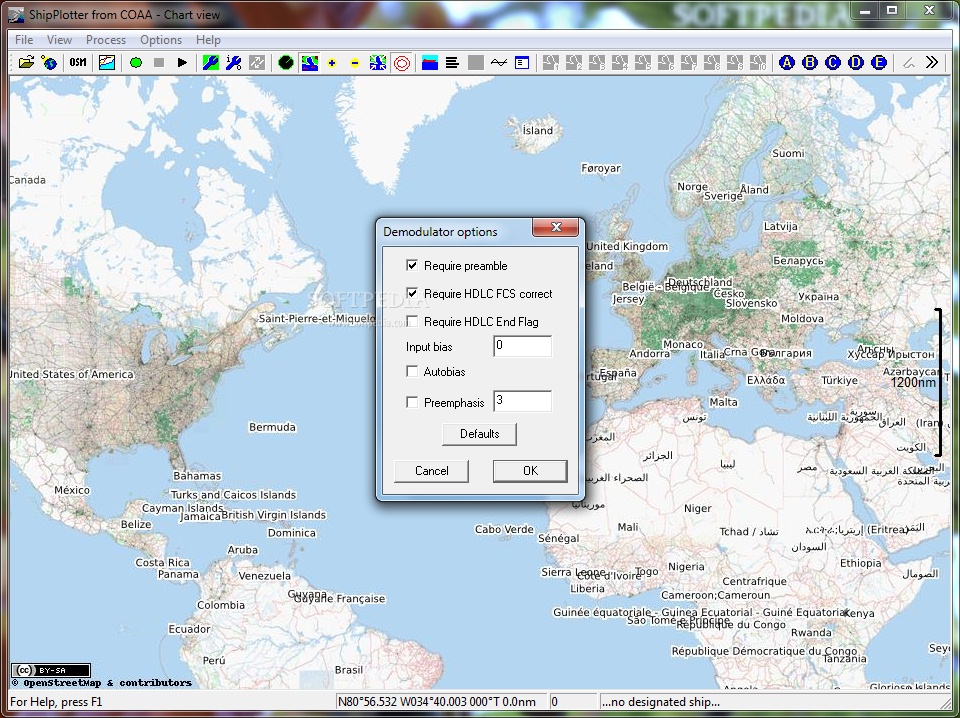
Signal mode:
In Signal Mode, ShipPlotter displays the raw digital signals on your PC screen in a diagnostic display which helps you to set up the system.
Message mode:
In Message Mode, ShipPlotter displays each decoded message in plain language on your PC screen.
Ship mode:
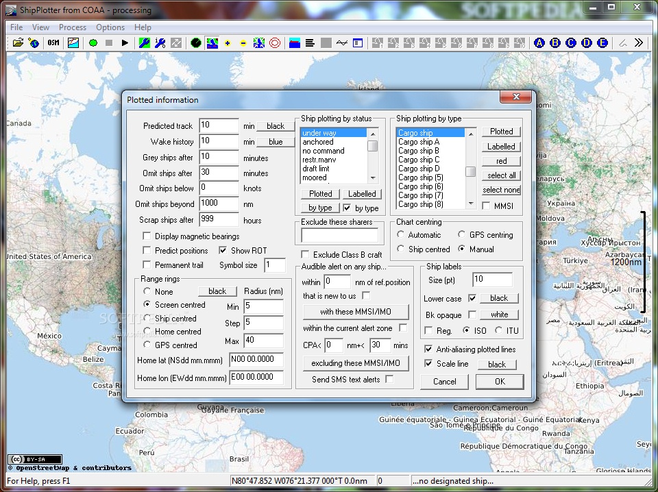
In Ship Mode, ShipPlotter displays each decoded message in plain language on your PC screen. There is one line in the display for each ship. Depending on which message formats have been received from the ship, the information may contain the MSSI number of the ship, its name, its destination and the expected date and time of arrival, its length, beam and draught, and the latest position report received from the ship.
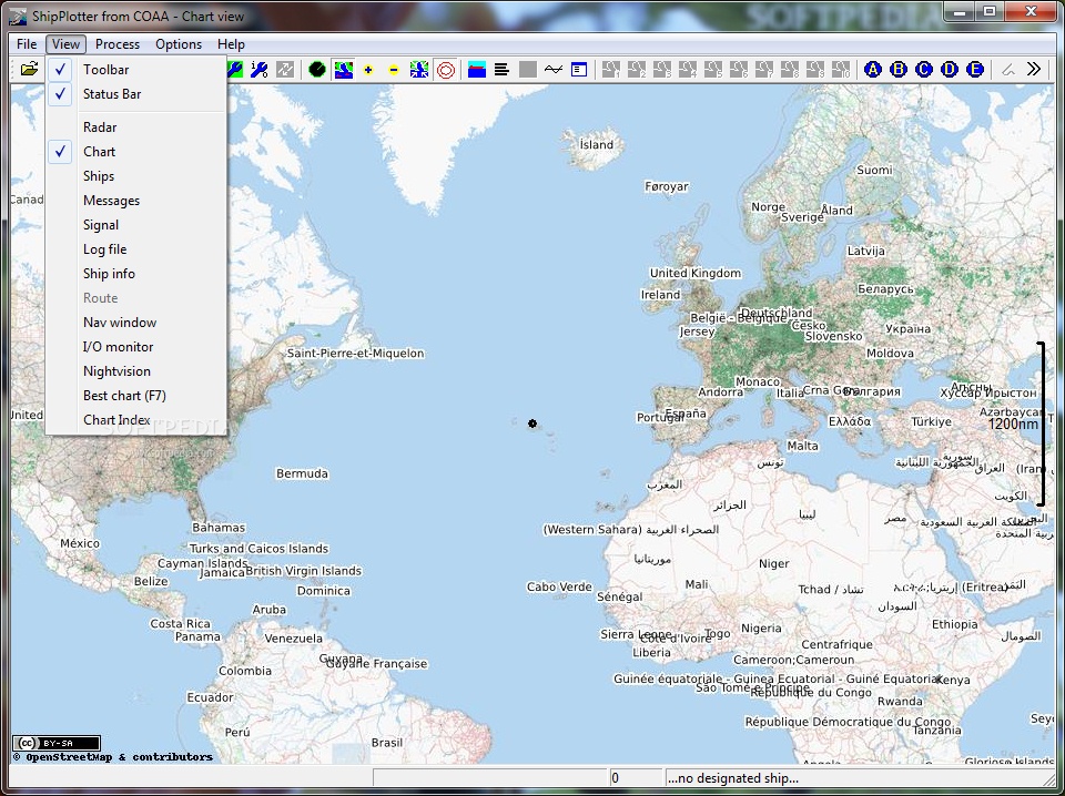
Chart mode:
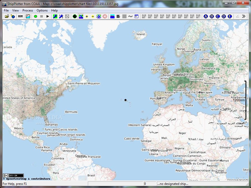
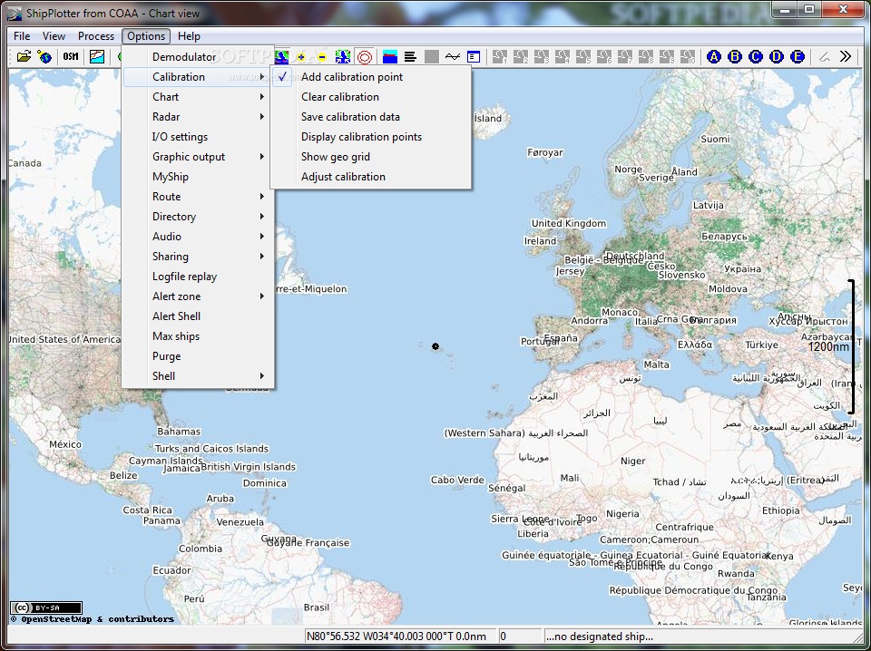
In Chart Mode, ShipPlotter displays the position and identification of each ship on a chart of the area. ShipPlotter comes with a general purpose world map but you can add your own maps to ShipPlotter simply by digitizing a chart to create a BMP or JPG graphic file and calibrating the chart using tools built in to ShipPlotter. ShipPlotter can also read BSB format marine charts provided that your system performance, memory, etc. can handle the size of the chart.
Ship details:
In chart mode, if you right click on one of the ships displayed in the chart, a pop up window (right) displays all the data received about the ship you have selected. If you are connected to the internet, there is a Search button that will access the ITU ship callsign database to discover even more details about the ship including its port of registry.
Message log:
ShipPlotter can store all messages received and decoded in a text file for later analysis. It can also store messages in formats that are not decoded, in a hex format for subsequent decoding.
Radar view:
ShipPlotter can display the position and identification of ships on a circular display centred on the user's position, which can be a dynamic position based on positions from a connected GPS receiver. This radar display can be either North Up, or Heading Up.
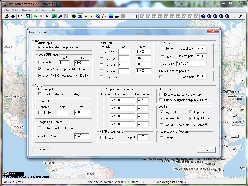
Serial input:
ShipPlotter can decode messages received from a dedicated AIS receiver using NMEA serial format.
Serial output:
ShipPlotter can output demodulated messages to any AIS-compatible serial plotter using NMEA serial format.
GPS input:
ShipPlotter can include position data from a local GPS receiver on the displayed chart and can automatically centre the chart on the current position.
Message sharing:
ShipPlotter can use the Internet to share your messages with others so that all see the totality of messages received by participating users.
Local sharing:
ShipPlotter can share received messages with other instances of the program running on machines over a local area network.
Automatic chart selection:
If you have a selection of charts of your coverage area, ShipPlotter can automatically choose the appropriate chart to display any chosen ship of interest.
Multiple sound card support:
ShipPlotter can choose between multiple soundcards if you have more than one. This means that, subject to processing power, you can run multiple instances of ShipPlotter processing audio from more than one source.
COM Automation support:
ShipPlotter can be accessed by VB Scripts or other services through a COM interface.
Automatic chart downloading:
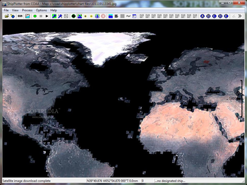
ShipPlotter can access several global databases of satellite imagery to use as the background chart for displaying ship positions.
Waypoint/track/route overlays:
ShipPlotter can display waypoints, routes and tracks that are read from a GPS data file in GPX data format.
Peer-to-peer sharing:
ShipPlotter can share data with up to four other instances of SP using UDP datagrams over a local network or over the Internet.
TCP/IP client:
ShipPlotter can receive data from a remote TCP/IP server that transmits NMEA AIS message data.
TCP/IP server:
ShipPlotter can receive data from a remote TCP/IP client that transmits NMEA AIS message data.
Google Earth server:
ShipPlotter can present a server to Google Earth that delivers ship position data that will appear on a Google Earth map.
Memory Map support:
ShipPlotter can control Memory Map Navigator(TM) so that it displays ships that are currently being displayed by ShipPlotter.
MultiMap support:
ShipPlotter can open a browser window on the MultiMap server so that it displays a ship that you designate. It can also import MultiMap maps into the SP chart window..
HTTP server:
ShipPlotter can present an HTTP server to other instances of ShipPlotter so that they can access the ship data on the host machine. It is possible to link a community of users with this feature, without requiring the use of a separate server.
Language versions:
ShipPlotter is also available with menu and dialog options in French.
VMAP level 0 outline charts:
ShipPlotter can display charts based on NIMA VMAP Level Zero data. The information is supplied in a compressed format including selected layers of certain limited areas.
Navigation window:
ShipPlotter allows you to create, edit, load and save a route and then to display navigation parameters relating to a designated ship following that route. The information includes cross track error, time to next route point and much else besides.
Route window:
ShipPlotter can display a route showing the track and distance between each route point, the estimated time between route points and the ETA at each route point.
Rhein navigation:
ShipPlotter decodes the Rhein waterway specific binary messages (DAC branch 200 - lock times, water levels, passenger and crew data, etc) and displays the data in the message window.
Where to buy?
Last updated price and discount information 9 years agoupdate now


 Windows 7 and above
 View Screenshots(8)
 Comments
 Download


 Similar Software
 Recently Searched
 Software Categories
 Trending Software


 Like Us


