Works on: Windows 10 | Windows 8.1 | Windows 8 | Windows 7 | Windows 2012 SHA1 Hash: 64708898b933b4b53933eaca02aa505a65c78df7 Size: 23.53 MB File Format: exe
Rating: 1.869565217
out of 5
based on 23 user ratings
Downloads: 839 License: Free
TatukGIS Viewer is a free software by tatukgis.com and works on Windows 10, Windows 8.1, Windows 8, Windows 7, Windows 2012.
You can download TatukGIS Viewer which is 23.53 MB in size and belongs to the software category Graphic. TatukGIS Viewer was released on 2010-11-01 and last updated on our database on 2017-02-28 and is currently at version 2.9.
Thank you for downloading from SoftPaz! Your download should start any moment now. It would be great if you could rate and share:
Rate this software:
Share in your network:
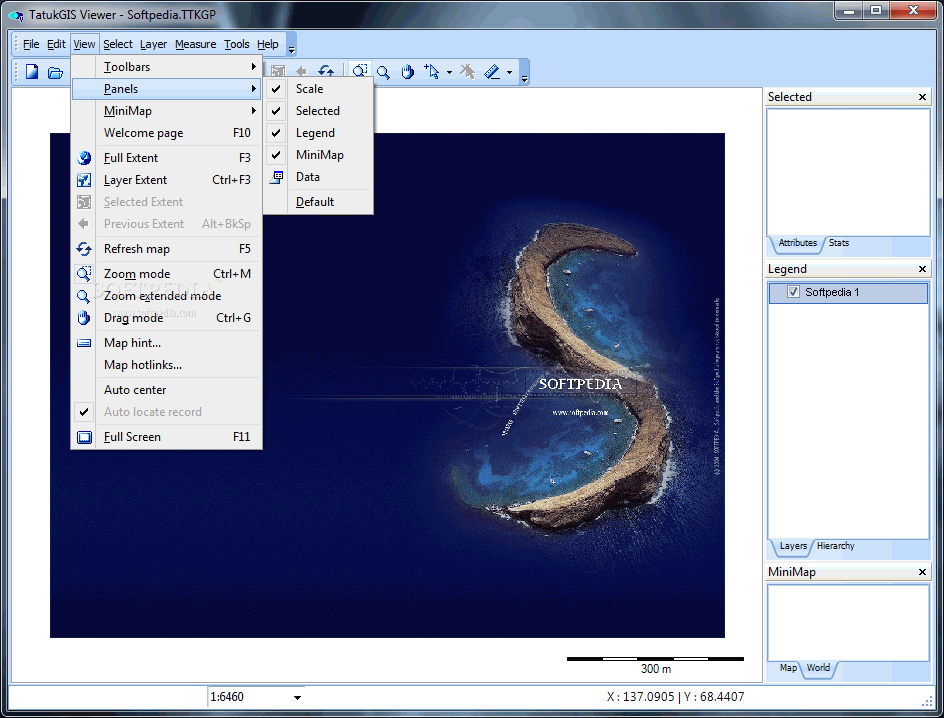
TatukGIS Viewer Description
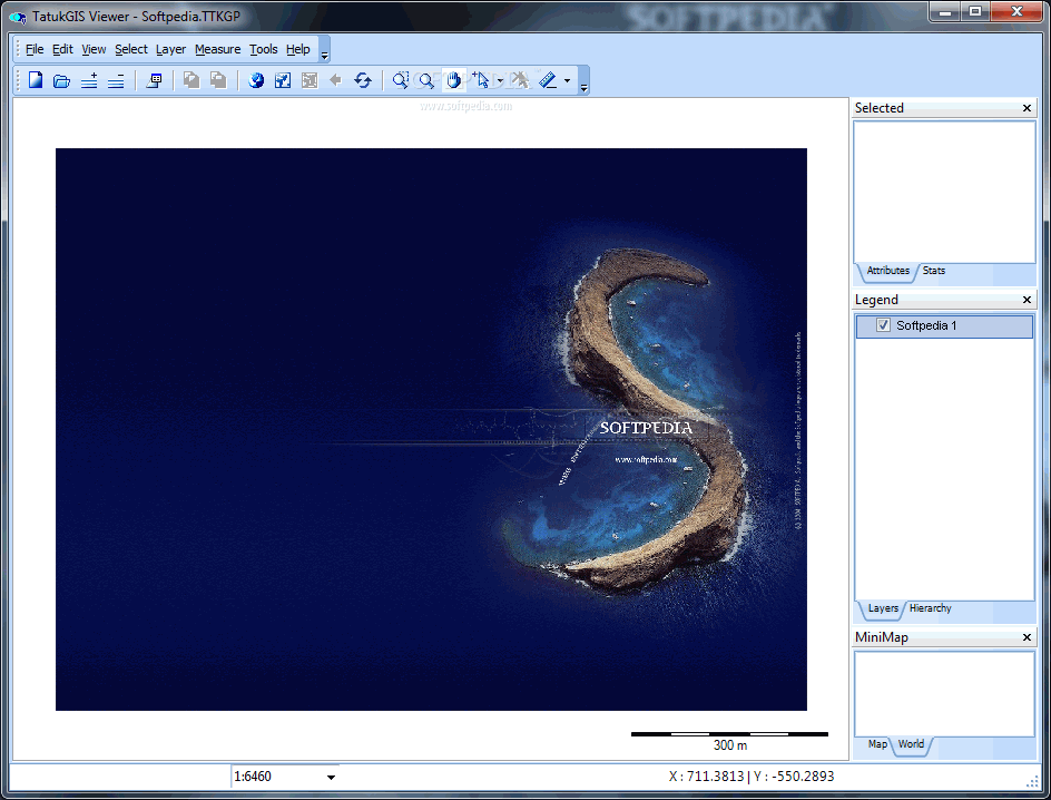
Zooming in/out, panning on the map
Multiple vector file formats (layer types) in the same project
Legend control (panel) to organize layers and layer priority
Extended Legend for hierarchical layers, layer grouping, sub-projects
MiniMap window with World or continent map tab options
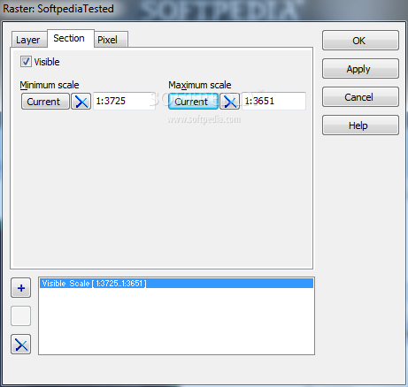
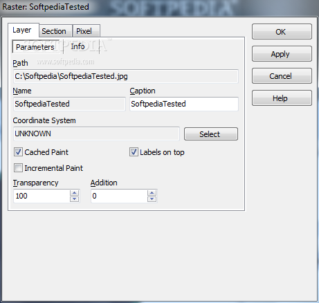
Visual layer property control for all aspects of the map appearance (colors, styles, polygon fills, outlines, symbols, labels, transparency, etc.)
Create or edit TatukGIS project files
Open ArcView 3, ArcExplorer, MapInfo Professional project files and projects exported from ArcGIS/ArcMap using the free Arc2TatukGIS plug-in
Scale bar
Custom render map geometry, styles, labels, symbols, etc. based on scale
Thematic mapping based on attribute values, colored-gradient value themes, color render grid layers
CGM and TrueType symbols for points and lines; CGM, TrueType, and WMF symbols for fills
Advanced attribute data presentation table with filtering and SQL Query Builder
Spatial querying/selection (by point, line, circle, rectangle, polygon, buffer, custom clipboard layer, SQL query) based on the DE-9IM model (Dimensionally Extended 9 Intersection Model).
Topological operations, e.g., buffers, intersections, unions, etc.


 Windows 7 and above
 View Screenshots(12)
 Comments
 Download


 Similar Software
 Recently Searched
 Software Categories
 Trending Software
 Like Us


