Works on: Windows 10 | Windows 8.1 | Windows 8 | Windows 7 | Windows XP | Windows 2000 | Windows 2003 | Windows 2008 | Windows Vista | Windows 2012 SHA1 Hash: f9036dba83cba94cabcf00c8e679702c763c8d6a Size: 89.59 MB File Format: exe
Rating: 2.782608695
out of 5
based on 23 user ratings
Publisher Website: External Link Downloads: 2593 License: Free
TerraExplorer is a free software by Skyline Software Systems Inc. and works on Windows 10, Windows 8.1, Windows 8, Windows 7, Windows XP, Windows 2000, Windows 2003, Windows 2008, Windows Vista, Windows 2012.
You can download TerraExplorer which is 89.59 MB in size and belongs to the software category Science CAD. TerraExplorer was released on 2015-07-30 and last updated on our database on 2017-04-06 and is currently at version 6.6.
Thank you for downloading from SoftPaz! Your download should start any moment now. It would be great if you could rate and share:
Rate this software:
Share in your network:
TerraExplorer Description
TerraExplorer is an approachable and interactive software application that enables you to view and analyze 3D landscapes. It comes loaded with several practical and intuitive options.
Simple setup and attractive GUI
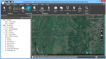
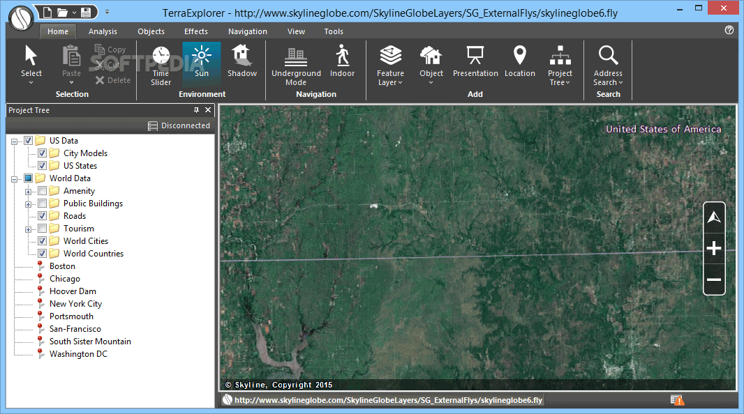
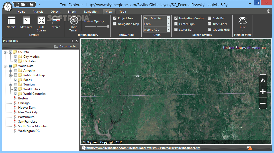
Installing this tool is a fast and simple job that shouldn't impose any difficulties. As far as the interface is concerned, it opts for a comfortable-looking window with a neatly organized structure, where you can begin by opening TerraExplorer (.fly) or MPT files. Otherwise, you can open maps with US terrains.
Navigate maps and view geographical details
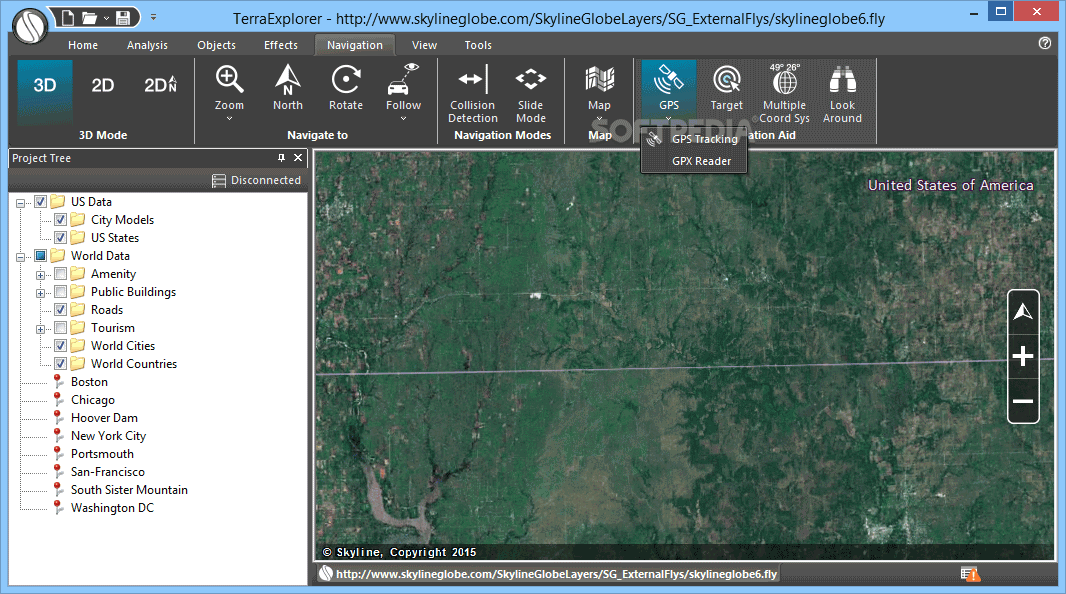
You can use the project tree to navigate directories and select various maps to view in the main frame, zoom in and out, fly around the map, change the view point, as well as take a snapshot and save it to file.
In addition, you can select any area of the map to obtain geographical information, adjust a time slider, show or hide the sun and shadows, activate underground mode, as well as load new feature layers from TerraExplorer project files or Google Earth (.kml, .kmz).
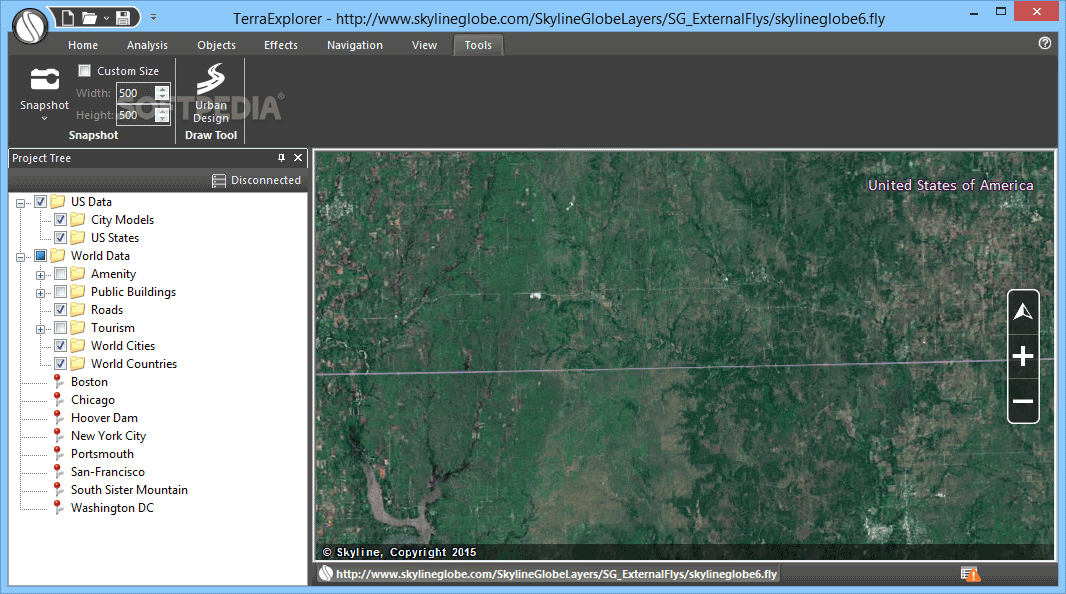
Insert objects, measure distances, and make adjustments
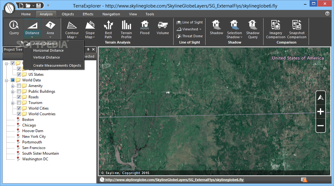
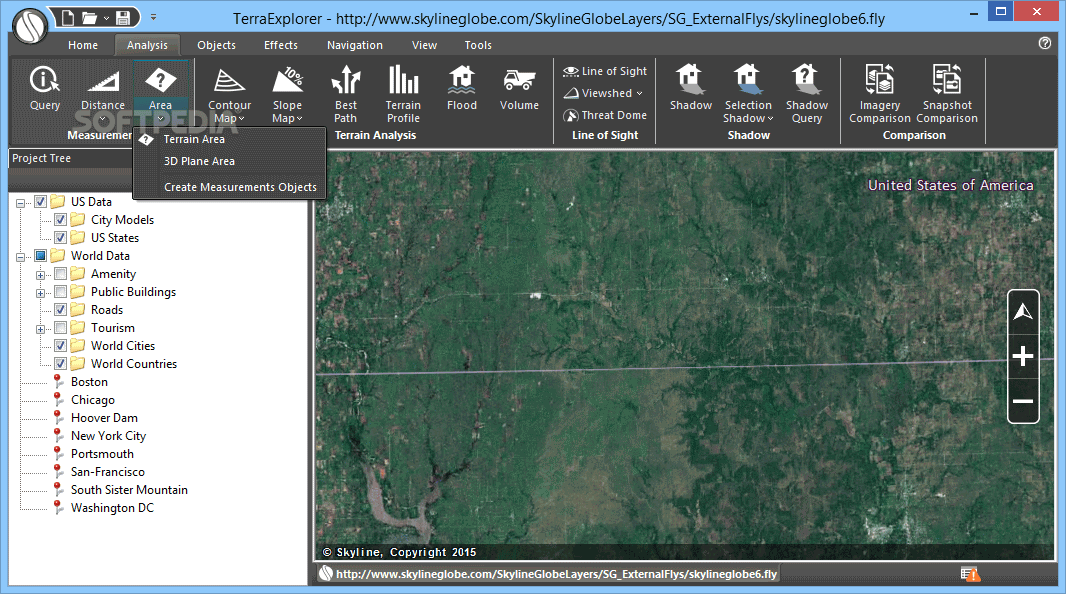
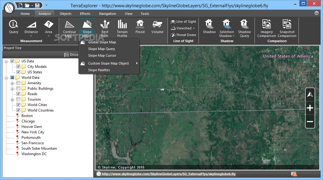
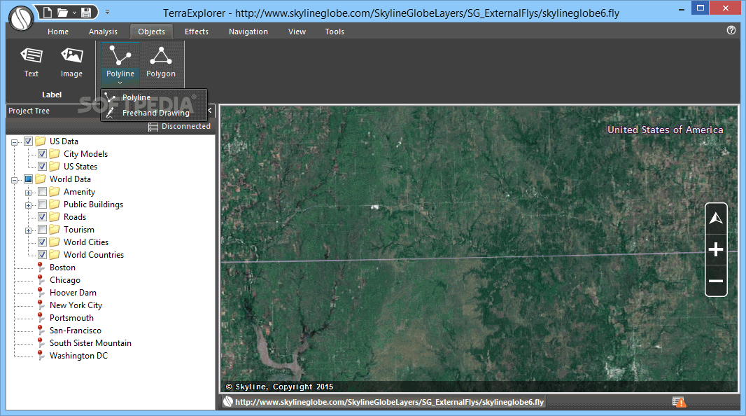
It's also possible to add 3D objects (text, image label, polyline, polygon), put together a presentation, insert new items into the project tree, or measure distances: horizontal, aerial, vertical, terrain or 3D plane area.
Plus, you can apply contour colors or lines to the terrain according to the elevation values, calculate the shortest path between two points, simulate flood for analysis purposes, and so on.
Evaluation and conclusion
Everything worked smoothly in our tests, thanks to the fact that the program didn't hang, crash or display error messages. It had minimal impact on computer performance, using low CPU and RAM.
Taking into account its attractive interface and intuitive options, TerraExplorer should meet the requirements of many users looking for a reliable app to examine and analyze 3D maps.
NOTE: The free version of the application allows you to navigate and analyze the 3D world environments. If you want to import your own raster layers, edit the landscape or publish the images you need to purchase a paid version.


 Windows XP and above
 View Screenshots(9)
 Comments
 Download


 Similar Software
 Recently Searched
 Software Categories
 Trending Software

 Like Us


