Works on: Windows 10 | Windows 8.1 | Windows 8 | Windows 7 | Windows XP | Windows 2000 | Windows 2003 | Windows 2008 | Windows Vista | Windows 2012 SHA1 Hash: 15da402b3583a3822bf6589ef499ce492a9e02f0 Size: 87.09 MB File Format: exe
Rating: 2.478260869
out of 5
based on 23 user ratings
Publisher Website: External Link Downloads: 2262 License: Free
TNTatlas is a free software by MicroImages, Inc. and works on Windows 10, Windows 8.1, Windows 8, Windows 7, Windows XP, Windows 2000, Windows 2003, Windows 2008, Windows Vista, Windows 2012.
You can download TNTatlas which is 87.09 MB in size and belongs to the software category Science CAD. TNTatlas was released on 2017-04-20 and last updated on our database on 2017-04-25 and is currently at version 2017.
Thank you for downloading from SoftPaz! Your download should start any moment now. It would be great if you could rate and share:
Rate this software:
Share in your network:
TNTatlas Description
Viewing and analyzing geodata from various kinds of file types is definitely something only professionals and users with experience in this field would need to get entangled with. Since this activity requires a set of befitting tools, a utility like could come in quite handy.
Useful tool for managing hierarchical atlases
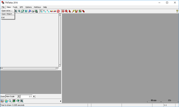
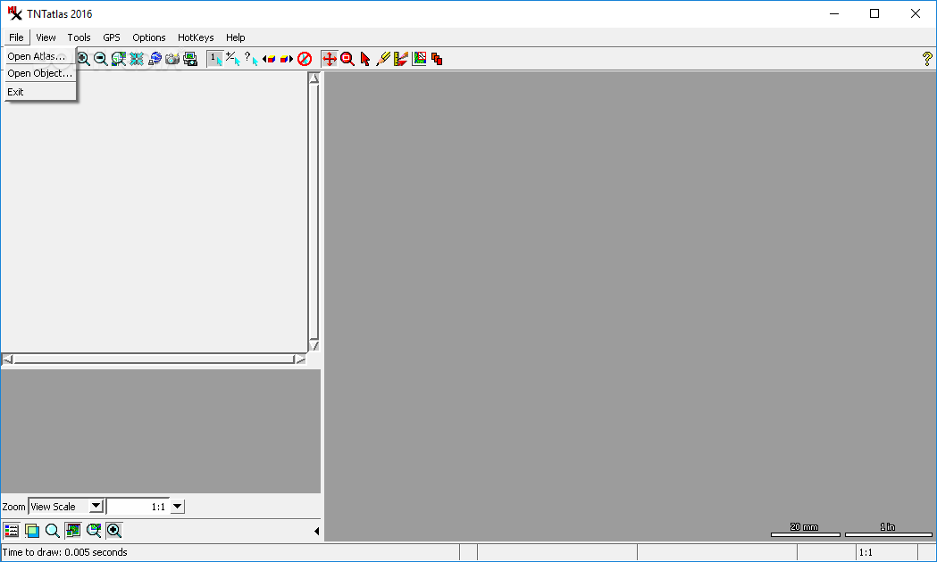
Well equipped for handling geospatial information, this utility brings a lot of features, but it doesn't shine insofar the looks are concerned. The main focus for this program are hierarchical atlases, but it is just as good at dealing with other sorts of objects.
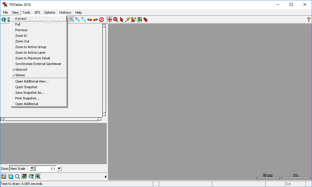
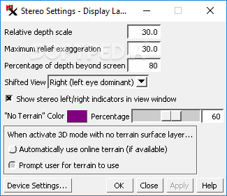
Thus, with TNTatlas it is possible to load and analyze vectors or shapes, large maps and imagery, with formats that include DWG, DXF, GeoTIFF or shapefiles, to name only a few. The viewing options that you can use from inside the application are diverse and range from zooming to various stereo modes, like anaglyph, interlaced lines or columns and split window.
Measure, sketch and annotate regions of maps
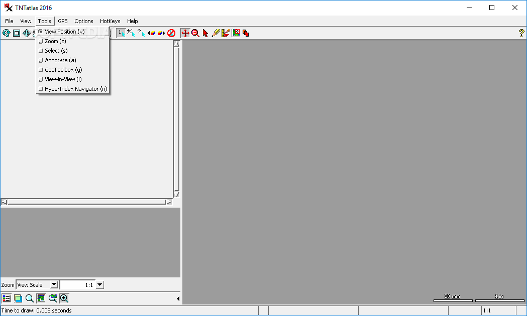
The toolbox that accompanies TNTatlas consists of several instruments for selecting, making annotations and more. The GeoTolbox which is part of the package allows you, among others, to measure, sketch and manage regions from the currently loaded file.
In case you want to use this utility with a GPS device, it is prepared for this too, so you should be able to easily connect a device, choose the protocol and adjust the port settings then set the polling interval to receive the needed data.
Specialized app that is geared more towards experienced users
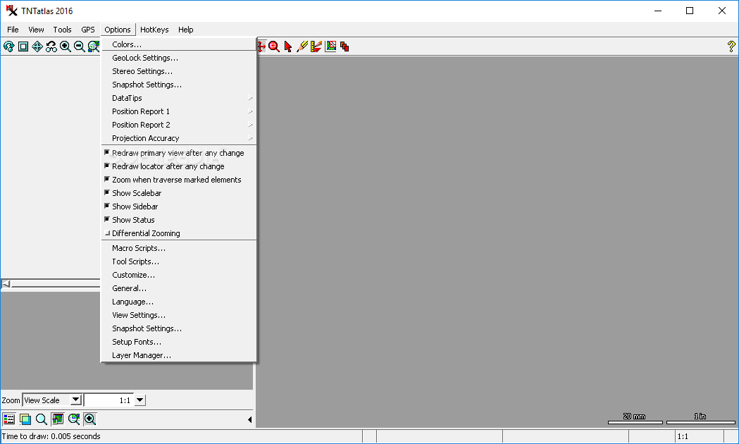
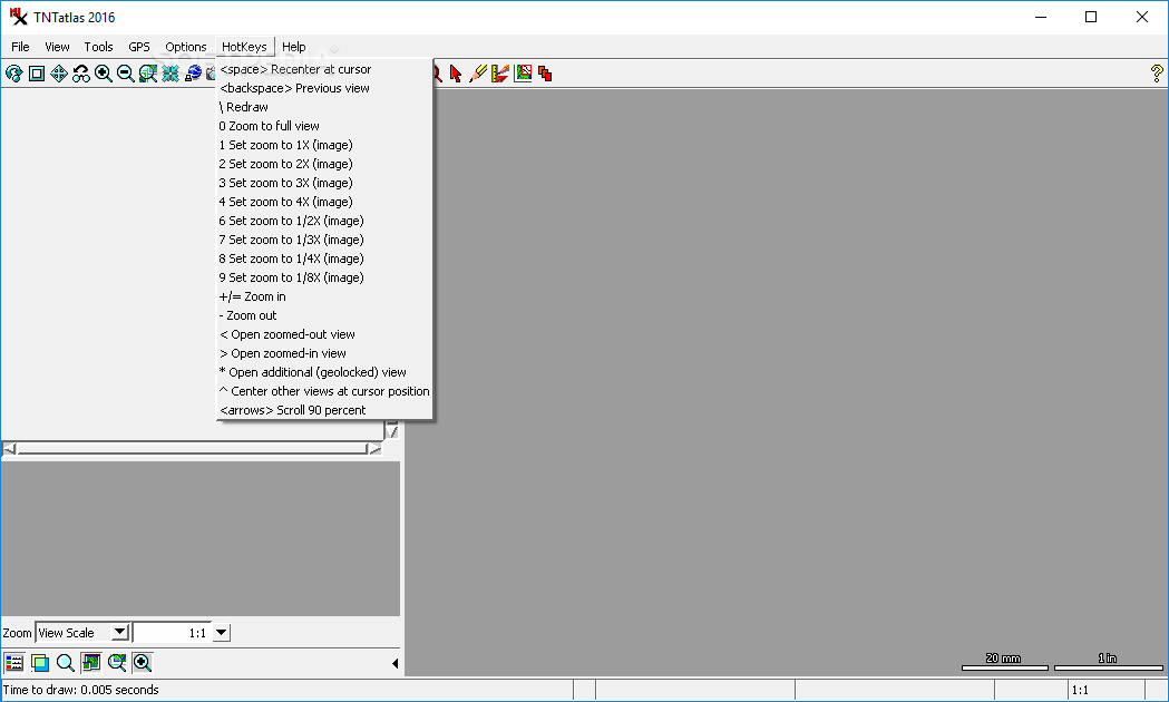
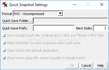
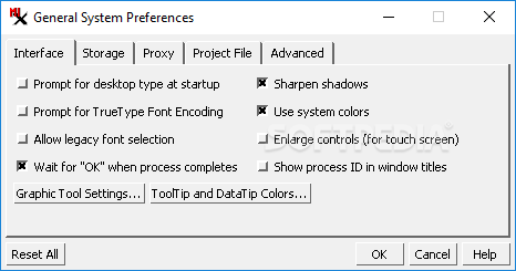
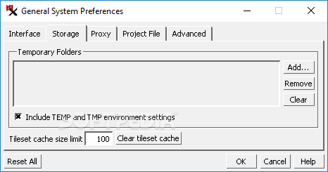
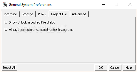
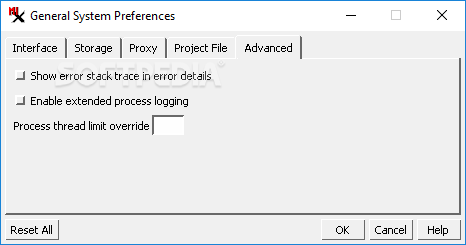
For users who are interested in customizing the app's running options in detail, there are many dedicated areas in which you can try various settings. On the whole, TNTatlas is definitely a complete package, but it is clearly addressed to experienced users who will be able to make the most of it.


 Windows XP and above
 View Screenshots(13)
 Comments
 Download


 Similar Software
 Recently Searched
 Software Categories
 Trending Software


 Like Us


