Works on: Windows 10 | Windows 8.1 | Windows 8 | Windows 7 | Windows 2012 SHA1 Hash: af410c1a10b83393cbfa39fac19f659efd51878f Size: 8.86 MB File Format: exe
Rating: 2.478260869
out of 5
based on 23 user ratings
Publisher Website: External Link Downloads: 1485 License: Demo / Trial Version
TopoFusion Pro is a demo software by TopoFusion and works on Windows 10, Windows 8.1, Windows 8, Windows 7, Windows 2012.
You can download TopoFusion Pro which is 8.86 MB in size and belongs to the software category Home and Education. TopoFusion Pro was released on 2017-04-18 and last updated on our database on 2017-04-25 and is currently at version 5.43.
Thank you for downloading from SoftPaz! Your download should start any moment now. It would be great if you could rate and share:
Rate this software:
Share in your network:
TopoFusion Pro Description
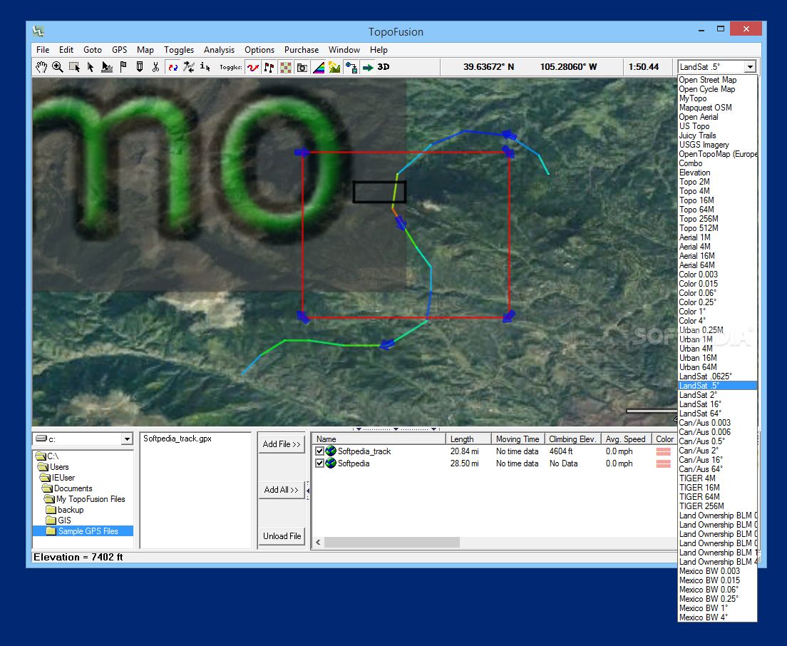
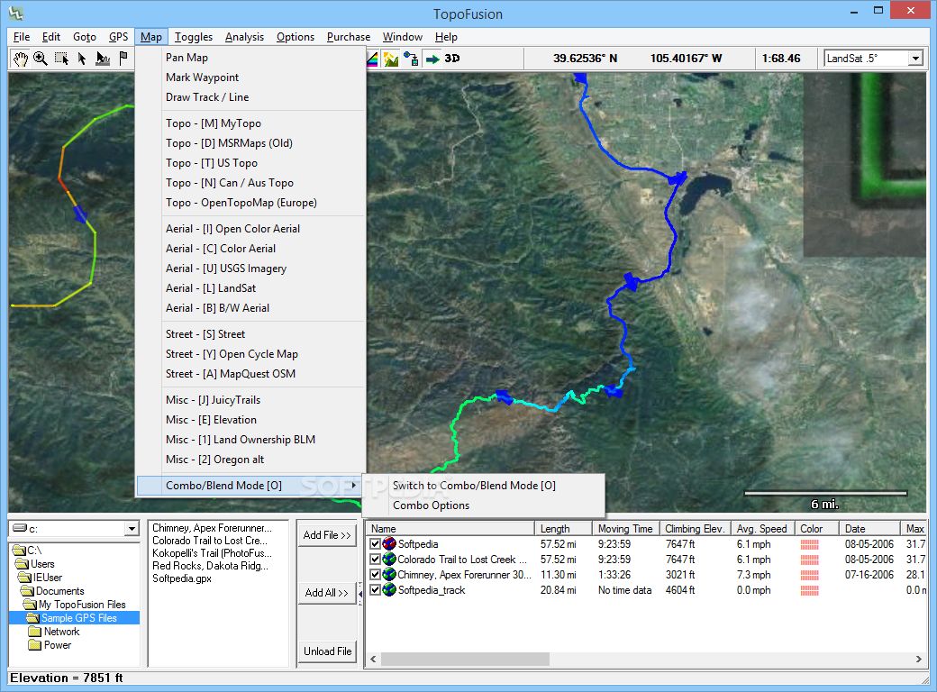
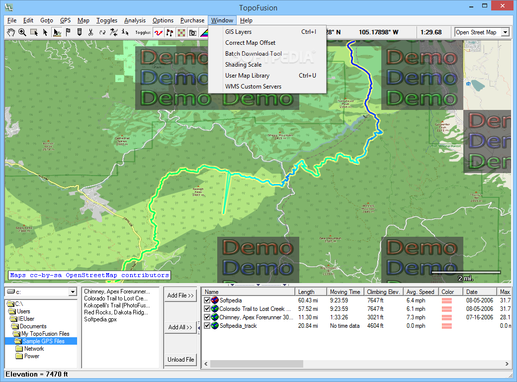
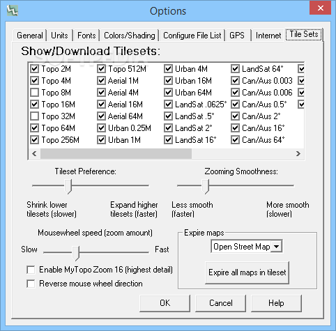
Imagery:
MyTopo Topographic.
Open Street Map.
Color Aerial.
USGS Topographic.
Colored Elevation.
Shaded Relief.
Open Aerial.
MapQuest.
Landsat.
Open Cycle Map (New!).
Aerial.
Urban Aerial.
Elevation / 3D.
FUSION Combo Maps.
Australian Topographic.
Canadian Topographic.
Tiger Street Maps (discontinued).
Other imagery:
Custom WMS server support - add new servers or your own.
User Calibrated Maps - Add and calibrate your own maps in .jpg, .png, .bmp formats.
All maps are downloaded from public servers. You only download the maps you need. Once downloaded, maps are permanently available on the hard drive, for offline use.
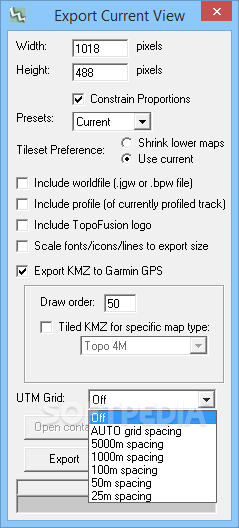
All maps can be exported to .KMZ format, for use as "custom maps" on newer generation Garmin units.
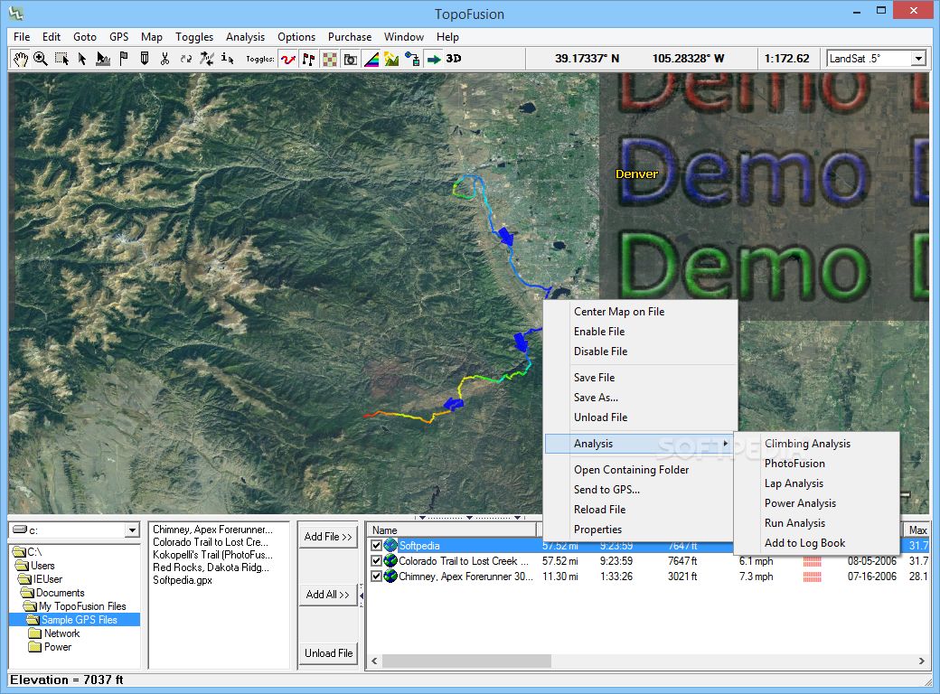
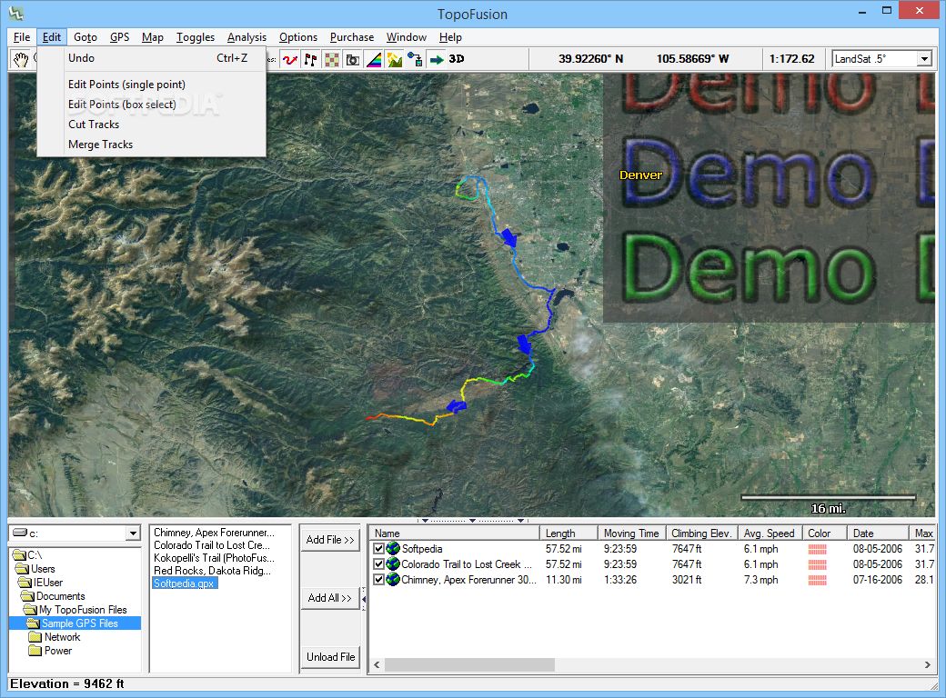
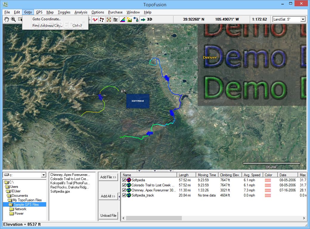
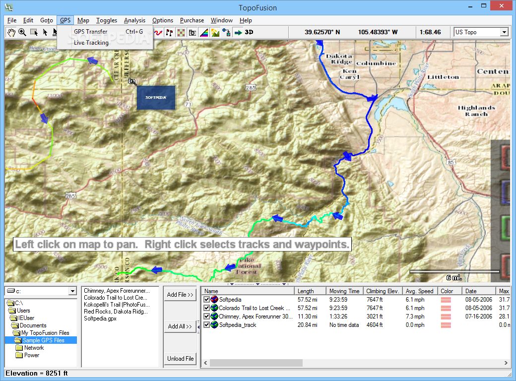
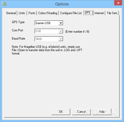
GPS Support:
Transfers GPS tracks, waypoints, routes to and from GPS units. Also supports realtime tracking.
Garmin - All USB and Serial Garmin units are supported. Examples include GPSMap 78/62, Edge 800, Fenix, Oregon, Dakota, GPSMap60CSx, Forerunner 305, Edge 305, VistaCX, eTrex family, GPS12.
Direct interface with Edge 705/Colorado/Oregon/Nuvi supported.
Magellan - Some USB and all (old) serial Magellan units are supported. Examples include eXplorist series, SportTrack Pro, etc. (Triton units are not supported).
NMEA - NMEA gps units are supported for real-time ("live") tracking.
Image Export - Export any map view in high resolution (up to 8,000 x 8,000). TopoFusion Pro can also generate high resolution 3D exports.
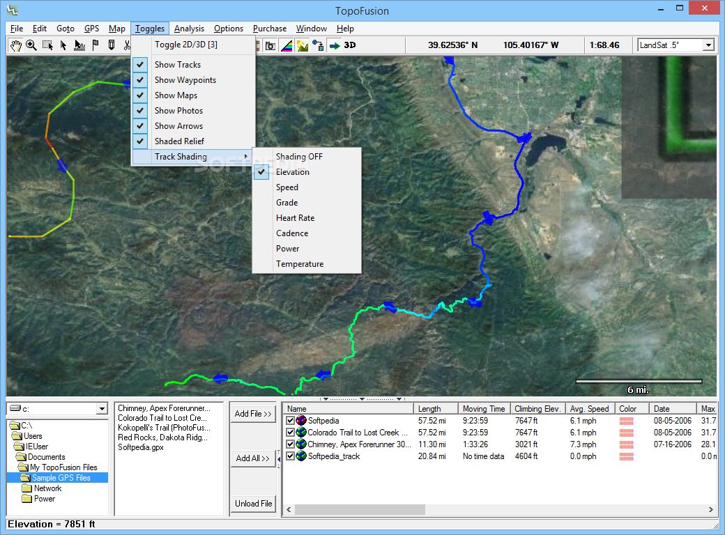
Display Features:
Optimized display engine using DirectX.
Smooth panning/zooming. Handles large GPS files.
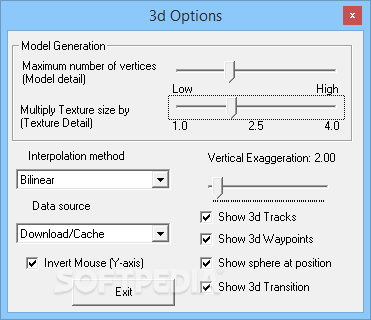
3D view mode available for the entire globe using auto-download or local DEM files.
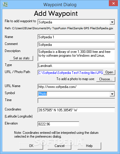
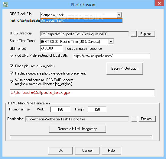
Photo Management:
Reads time headers (EXIF) from your digital photos to place pictures along your route. See PhotoFusion.
Automated HTML and imagemap generation. Create an image map with thumbnails of pictures taken with a digital camera along your GPS track.
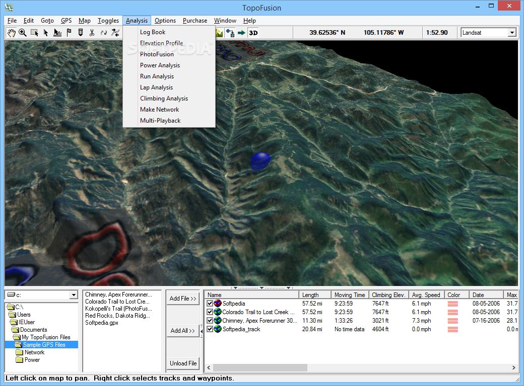
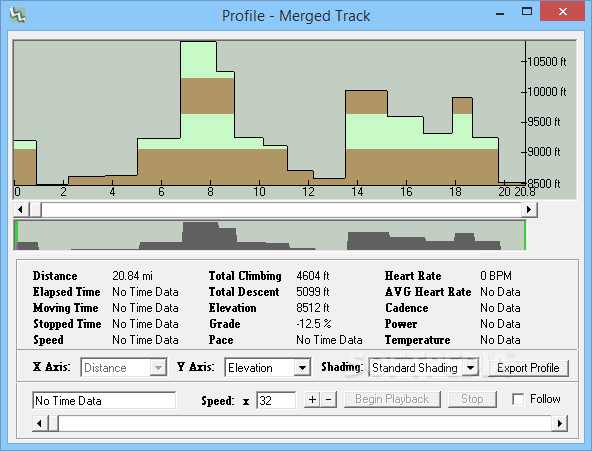
Data Analysis:
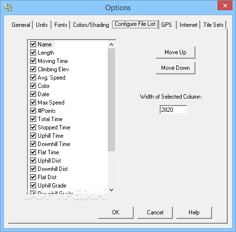
Computes trip statistics: distance traveled, total trip time, elevation climbing/loss, average speed, Pace (minutes per mile), Moving time, stopped time, uphill time, downhill time, flat time, up/down/flat distance, average uphill/downhill grade, max speed.
TopoFusion Pro adds Heart Rate, Cadence and Power analysis features.
Profile tool plots elevation, speed, pace and grade versus distance and time.
Track playback plays back your trips in real time, showing position and statistics.
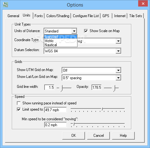
Supports 9 map datum including WGS 84, NAD 27, WGS 72, Ordinance Survey.
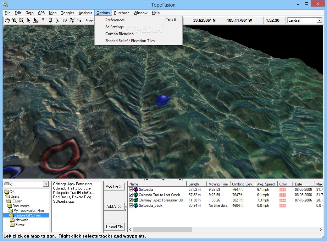
Advanced Features:
User Calibrated Maps - Add and calibrate your own maps in .jpg, .png, .bmp formats (TopoFusion Pro Only).
WMS Servers - add any server that uses the WMS protocol to TopoFusion (Pro Only).
Garmin "Custom Map" support - upload any available map to newer generation Garmin units.
Combine all maps types using Alpha Blending.
Multi-Track playback offers a variety of trip visualization and comparison options.
Combine and average GPS tracks using GPS Networks (Pro Only).
Track your training with the The TopoFusion logbook.
Exclusive - Power output for runners using new research. See GOVSS.
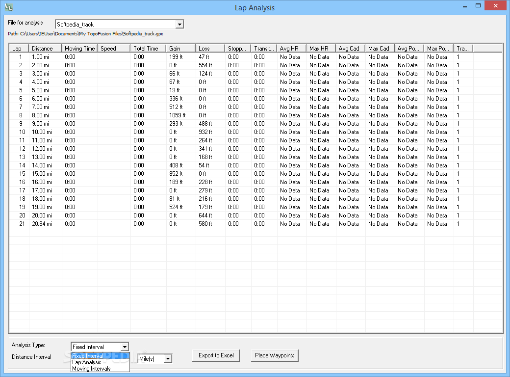
Compute splits by miles, kilometers or laps using Lap Analysis.
Climbing analysis compares different methods for computing elevation gain.
Add elevation data to tracks, or correct faulty GPS elevations using Climbing Analysis
TopoFusion "Difficulty Index" and "Effort Index".
Compute Area inside track.
Simplify and Spline GPS tracks.
Auto download of GIS layers - city names, major roads and U.S. Wilderness boundaries.
Where to buy?
Last updated price and discount information 9 years agoupdate now


 Windows 7 and above
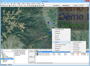
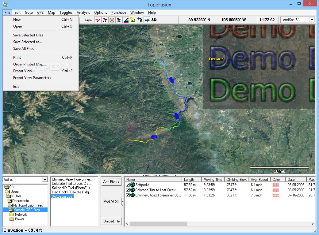
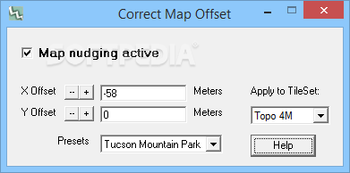
 View Screenshots(29)
 Comments
 Download


 Similar Software
 Recently Searched
 Software Categories
 Trending Software


 Like Us


