Works on: Windows 10 | Windows 8.1 | Windows 8 | Windows 7 | Windows XP | Windows 2000 | Windows 2003 | Windows 2008 | Windows Vista | Windows 2012 SHA1 Hash: 1b696faa6867035b6b66274333e928bdd8e930c3 Size: 616.32 KB File Format: exe
Rating: 2
out of 5
based on 23 user ratings
Downloads: 423 License: Free
USA Photo Maps is a free software by Doug Cox and works on Windows 10, Windows 8.1, Windows 8, Windows 7, Windows XP, Windows 2000, Windows 2003, Windows 2008, Windows Vista, Windows 2012.
You can download USA Photo Maps which is 616.32 KB in size and belongs to the software category Other Internet Related. USA Photo Maps was released on 2007-04-11 and last updated on our database on 2017-02-19 and is currently at version 2.76.
Thank you for downloading from SoftPaz! Your download should start any moment now. It would be great if you could rate and share:
Rate this software:
Share in your network:
USA Photo Maps Description
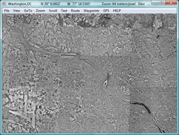
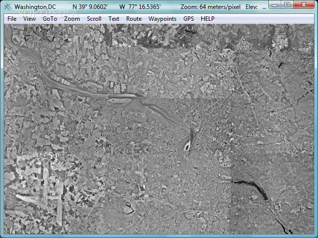
USA Photo Maps is a small Windows application designed to help users grab USGS (United States Geodedic Survey) aerial photos, save them to the computer, and create GPS maps.
It sports a clean interface that gives users the possibility to download maps by specifying a name for the map and providing information about the latitude and longitude coordinates.
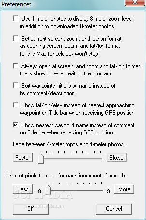
What’s more, the program is able to import data from XML, HST, TCX, or GPX, and you can print the maps.
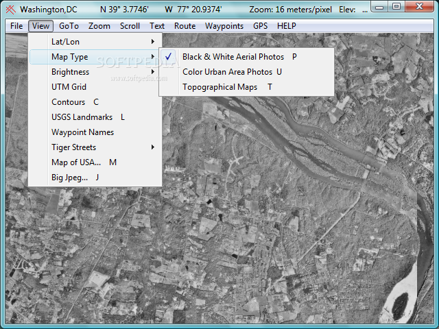
USA Photo Maps gives users the possibility to select the map type (black and white, coloured areas, or topographical maps), adjust the level of brightness, activate the UTM grid, and insert waypoints.
Other important features worth mentioning allow users to go to the specified address and populated places, view the location set by the specified latitude and longitude, as well as zoom in or out of the map, and create routes.
During our testing we have noticed that USA Photo Maps downloads maps very quickly and without errors throughout the entire process. It doesn’t eat up a lot of CPU and memory, so it doesn’t burden the overall performance of computer, nor interfere with other programs’ functionality.
To sum things up, USA Photo Maps proves to be a reliable application that allows users to download maps and insert routes and waypoints. It offers very good image quality and can be used by beginners and professionals alike.


 Windows XP and above
 View Screenshots(3)
 Comments
 Download


 Similar Software
 Recently Searched
 Software Categories
 Trending Software


 Like Us


