
Wilbur Description
Wilbur facilitates a user-friendly environment for creating, designing and saving heightmaps. It's capable of importing information from multi-file images (Muse DTED and SRTM), image subsections (BIN files), TerrainBase, and Word Builder surface maps (BMP images).
Projects can be exported to Muse DTED (MONSYS textures as PCX files), RangeView Terrain MIF, or GMS map definition files (read GMS tile descriptions and write images to disk).
Simple setup and interface
Installing this software application is a speedy job that requires minimal user intervention. It's wrapped in an approachable interface that doesn't stand out in the visual department but it's easy to navigate.
Photos can be opened from a wide range of file types, such as BMP, JPG and PNG (grayscale or colored), MDR, Matlab MAT, Terragen, Vistapro, Lighting or Brush definition (LGT or BRS), PCX and TGA.
Explore drawing tools for height maps
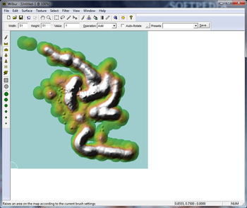
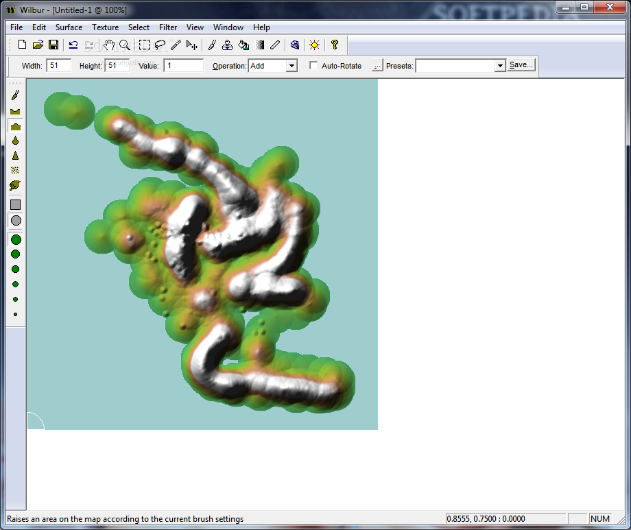
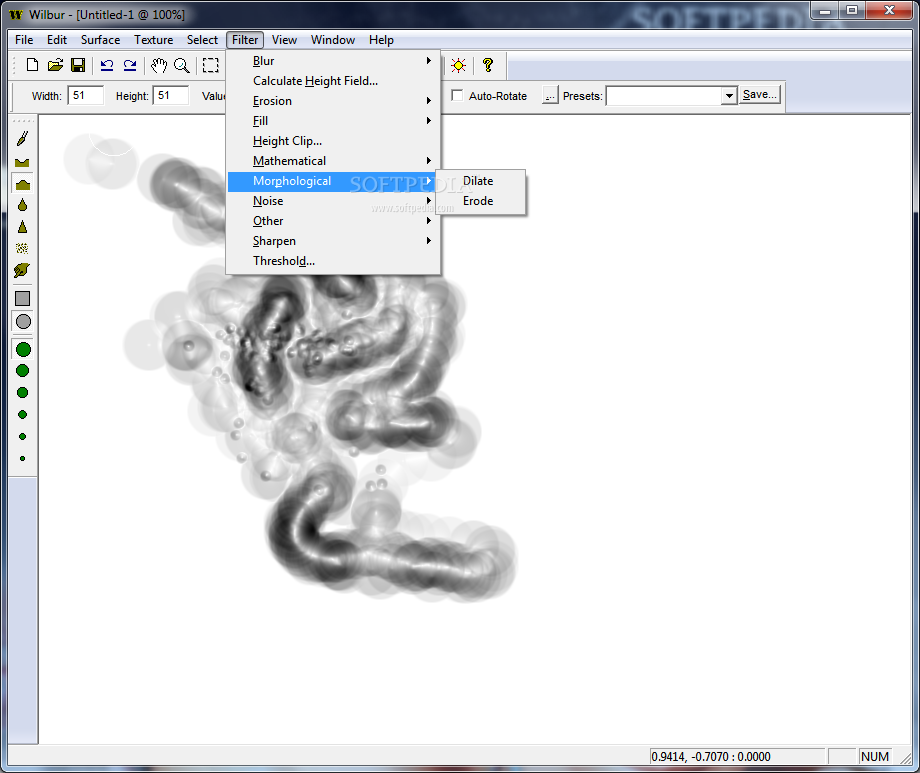
Wilbur puts several drawing tools at your disposal which lets you paint a given height spot on the map, lower or lift the surface, smoothen it by applying a blur effect, sharpen it, add Gaussian noise, smudge an area on the map, draw with a square or round brush, as well as change the brush size.
As far as brush settings are concerned, you can specify the width, height, value, auto rotation, and operation (lerp, add, subtract, multiply, divide, minimum, maximum, or exponent). These parameters can be saved to files are brush profiles to reuse them later.
Configure advanced settings for the surface and texture
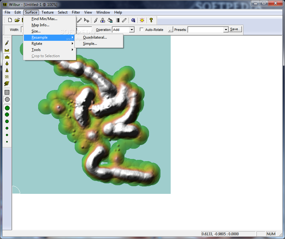
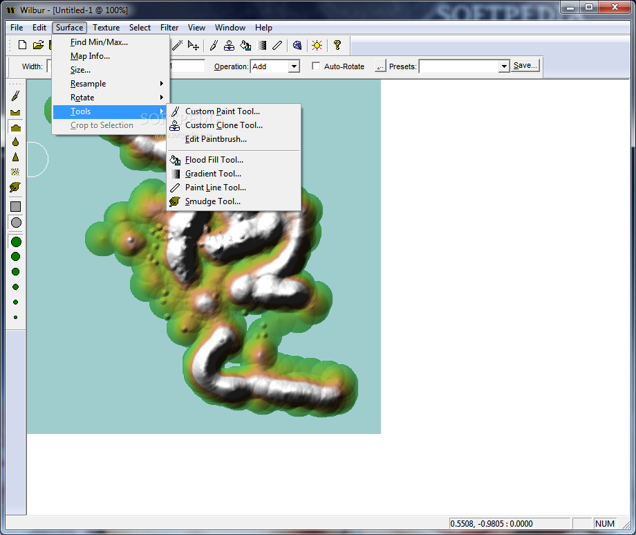
It's possible to edit the geoid parameters based on the selected model, ask the tool to find the highest and lowest point on the map, modify map information and surface size, resample or rotate the surface, as well as resort to handy tools for custom painting or cloning, editing brush presets, along with flood filling, gradient, line drawing and smudge operations.
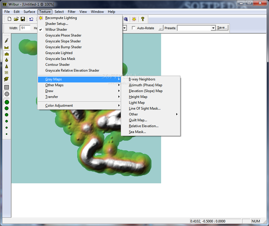
When it comes to the texture, you can adjust settings to recompute lighting (e.g. intensity, altitude, latitude, slope, facing, bending) or select the preferred shader between Wilbur and contour mode, along with grayscale phase, slope, bump, lighted, sea mask and relative elevation.
Generate multiple kinds of height maps
The software application enables you to show the local slope to each of the 8 neighbors in the cell (8-way neighbors), calculate the direction each element is facing (Azimuth phase map), compute a grayscale texture containing only slope information (elevation map), draw a pure height map with full height in range 0-255, calculate a light map by defining the Azimuth and elevation, generate a visibility mask for an on-screen point, and so on.
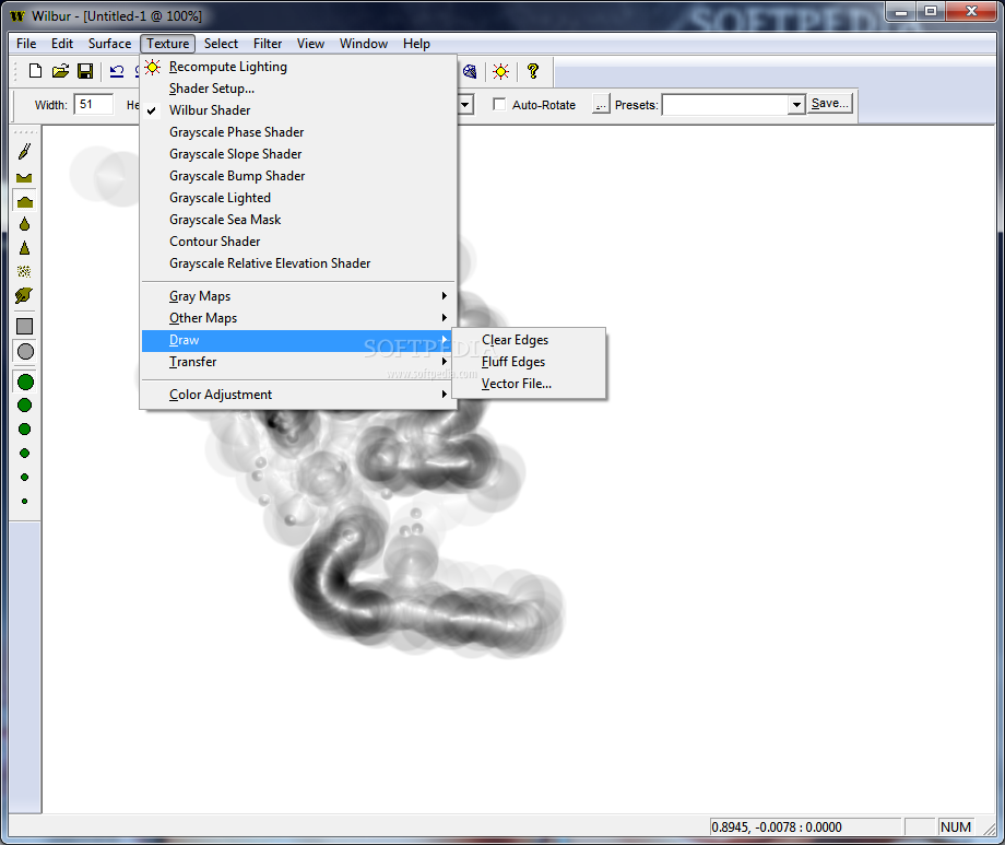
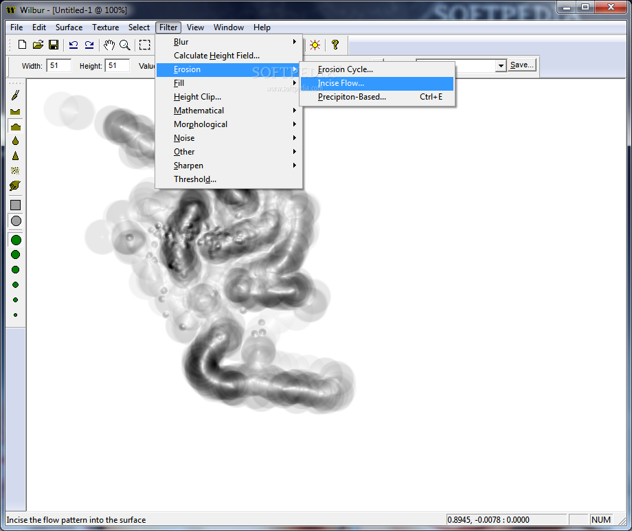
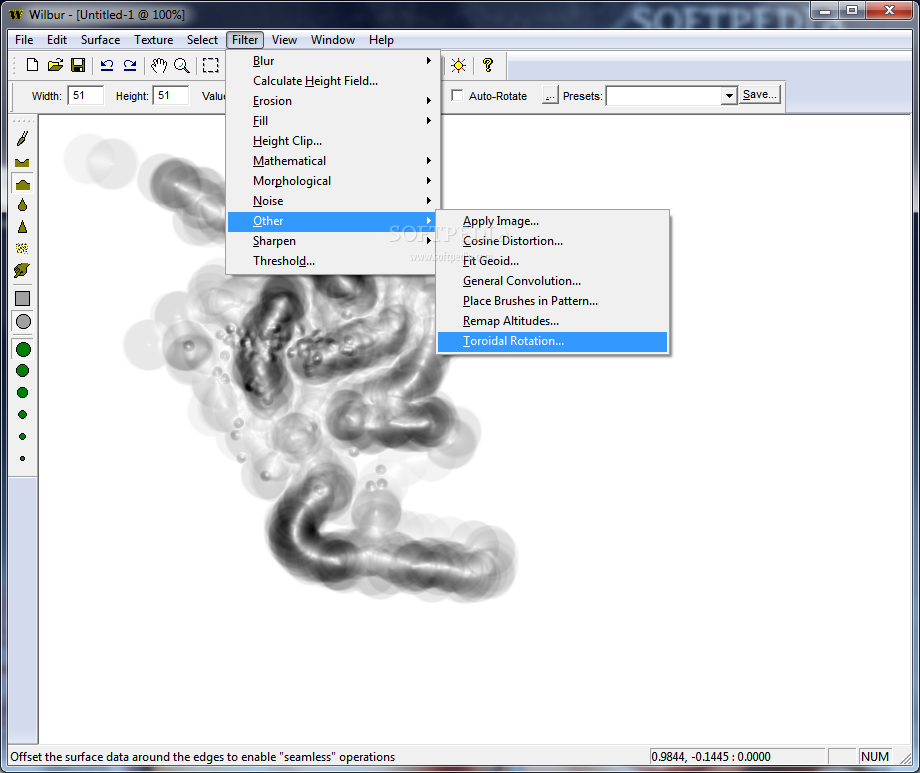
You can transfer textures to heights or selections, or selections to textures, tweak the HSV, RGB or grayscale color levels, save and load selections from BMP, JPG and PNG images, apply filters (e.g. erosion cycle, incise flow, precipiton based), analyze the histogram of the map, enter texture journey parameters to animate a set of surface calculations, view the map areas using various spherical projections, check out a 3D preview of the surface, as well as use a tesselation tool.
Evaluation and conclusion
We haven't come across any stability issues in our tests, thanks to the fact that the software program didn't hang, crash or prompt error dialogs. Surprisingly, it had minimal impact on computer performance, running on low CPU and memory.
To wrap it up, Wilbur proves to be a feature-rich application filled with handy options for creating, designing and exporting height maps, especially when taking into account that it's free to use. Too bad that it hasn't been updated for a while.


 Windows 7 and above
 View Screenshots(9)
 Comments
 Download


 Similar Software
 Recently Searched
 Software Categories
 Trending Software


 Like Us


