Works on: Windows 10 | Windows 8.1 | Windows 8 | Windows 7 | Windows 2008 | Windows 2012 SHA1 Hash: 10b8bebe04e5bccfaecf24907e0aae70a895c2df Size: 251.44 MB File Format: exe
Rating: 2.173913043
out of 5
based on 23 user ratings
Publisher Website: External Link Downloads: 2351 License: Free
ArcGIS Explorer is a free software by ESRI and works on Windows 10, Windows 8.1, Windows 8, Windows 7, Windows 2008, Windows 2012.
You can download ArcGIS Explorer which is 251.44 MB in size and belongs to the software category Science CAD. ArcGIS Explorer was released on 2017-02-10 and last updated on our database on 2017-04-23 and is currently at version 2.
Thank you for downloading from SoftPaz! Your download should start any moment now. It would be great if you could rate and share:
Rate this software:
Share in your network:
ArcGIS Explorer Description
Easy and intuitive to use - it's easy for anyone to begin working with ArcGIS Explorer, with its intuitive and easy to use ribbon user interface that presents tools in the context of how you use them. Tools including integrated tool tips and Help.
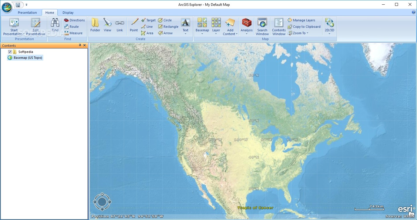
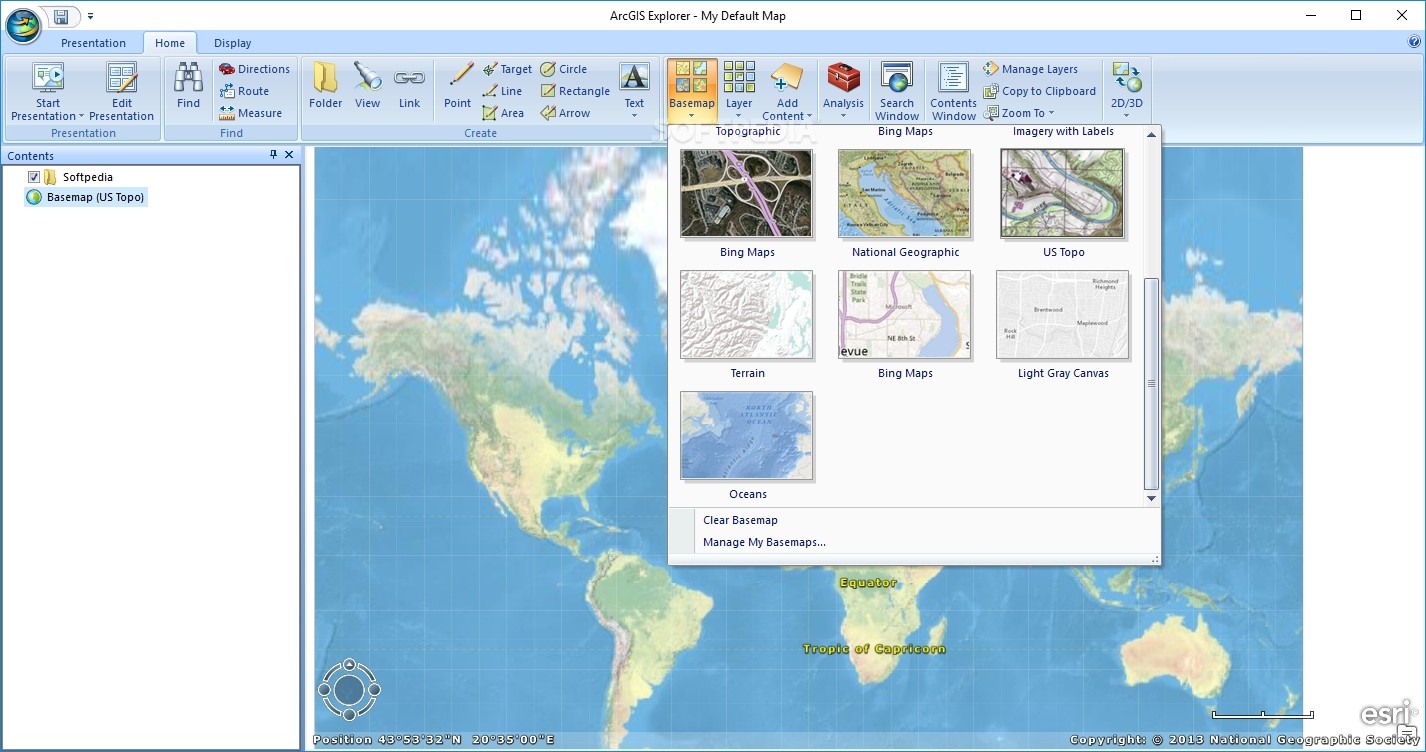
Choose your Basemap - The Basemap Gallery allows you to choose from a variety of ready-to-use basemaps so you can get started quickly. Select from ArcGIS Online basemaps such as World Imagery, World Streets, World Topographic Maps, or choose a Bing Map service (Aerials, Hybrid, and Roads). You can also create your own basemaps and add them to the Gallery. Toggle basemaps on the fly while maintaining your operational layers.
Add local data such as geodatabases, shapefiles, KML/KMZ, GPX, and raster formats (JPEG 2000, GeoTIFF, MrSID). You can also add layer files and packages created using ArcGIS Desktop, or add locations from your spreadsheets.
Access a wide variety of mapping services from ArcGIS Server; ArcIMS; and Open Geospatial Consortium, Inc. (OGC) WMS, and GeoRSS feeds.
Integrate a wide variety of content such as photos, videos, documents, and more and place them in a geographic context.
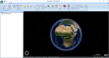
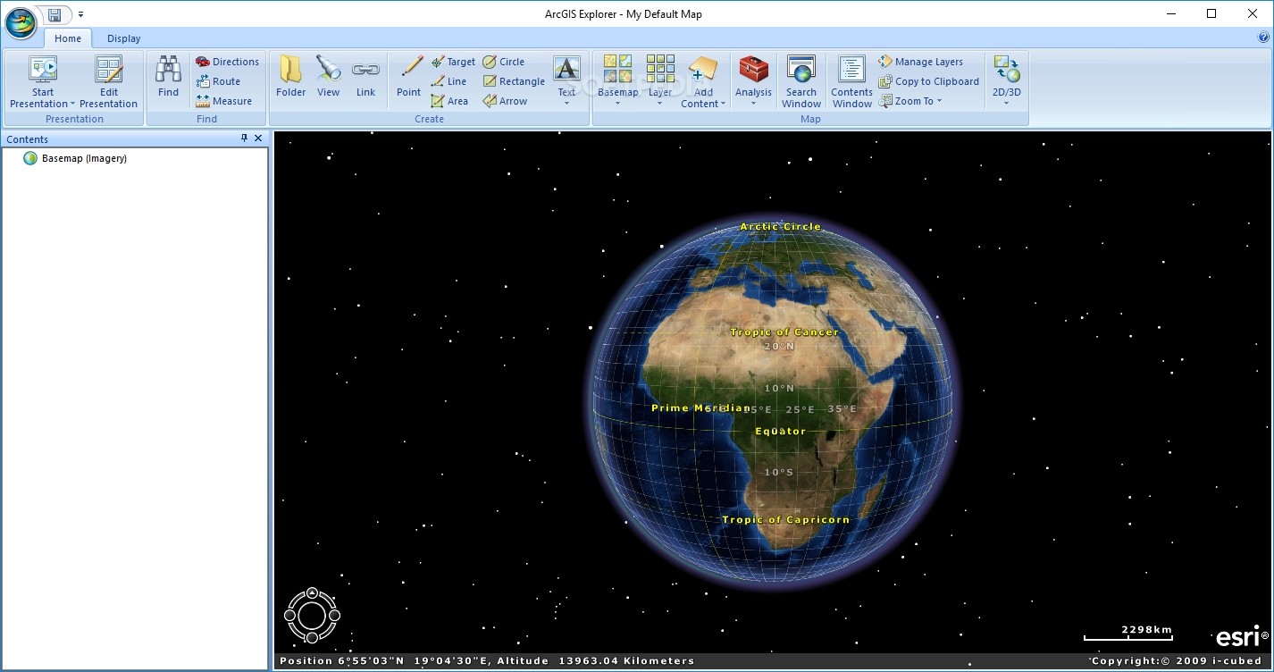
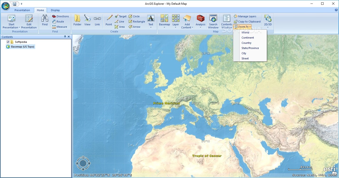
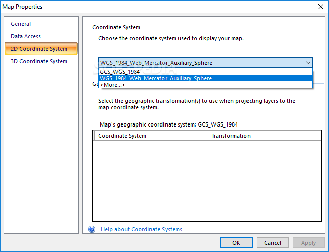
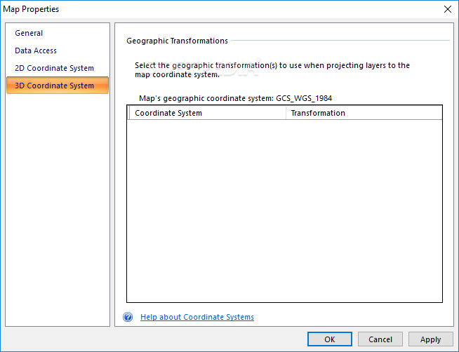
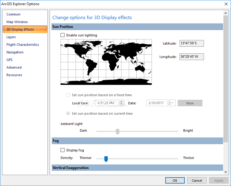
Integrated 2D and 3D Display - Switch display modes with a single click. View maps and globes in any projection or coordinate system.
Extend ArcGIS Explorer using Add-Ins and the Analysis Gallery. Extend the core capabilities using geoprocessing tools and models published using ArcGIS Server, or connect to a wide variety of other available services.
E-mail your maps and layers directly from the application.
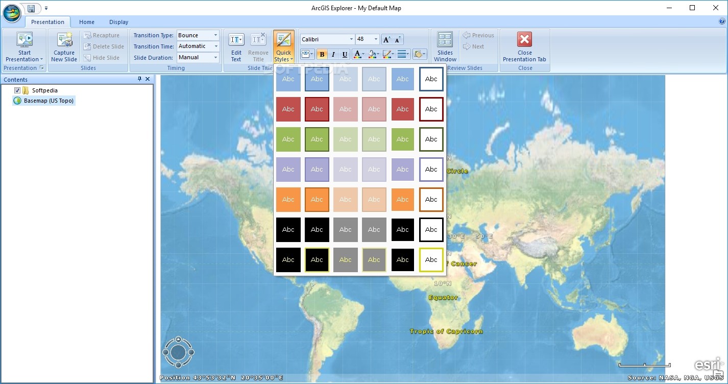
Communicate geographically using Presentations - A unique and powerful feature of ArcGIS Explorer, presentations allow you communicate geographically using live data and and services. Answer geographic questions and share the answers with others.
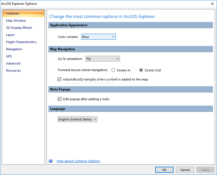
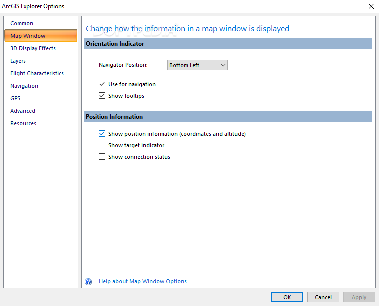
Customize ArcGIS Explorer using centrally managed application configurations with no programming required. Control functionality and add your own tools, and customize the look and feel of ArcGIS Explorer to meet the needs of specific users or workflows in your organization. You can also use the free, downloadable software development kit (SDK) to create new add-ins.
Fully localized - ArcGIS Explorer is fully localized, including all user interface elements and Help. Choose from English, French, Japanese, Chinese, German, or Spanish.


 Windows 2008 and above
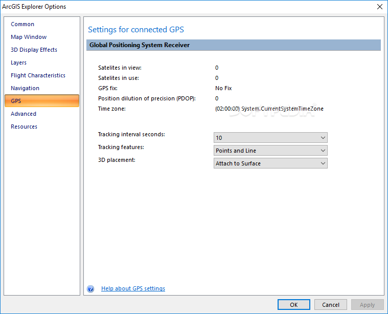
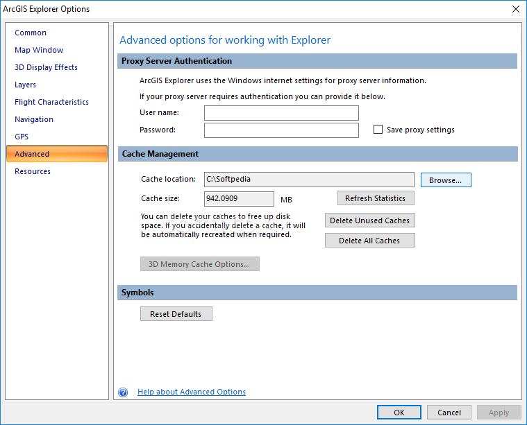
 View Screenshots(17)
 Comments
 Download


 Similar Software
 Recently Searched
 Software Categories
 Trending Software


 Like Us


