


 Windows 7 and above
| Rate this software: | |
| 2151 downloads | |
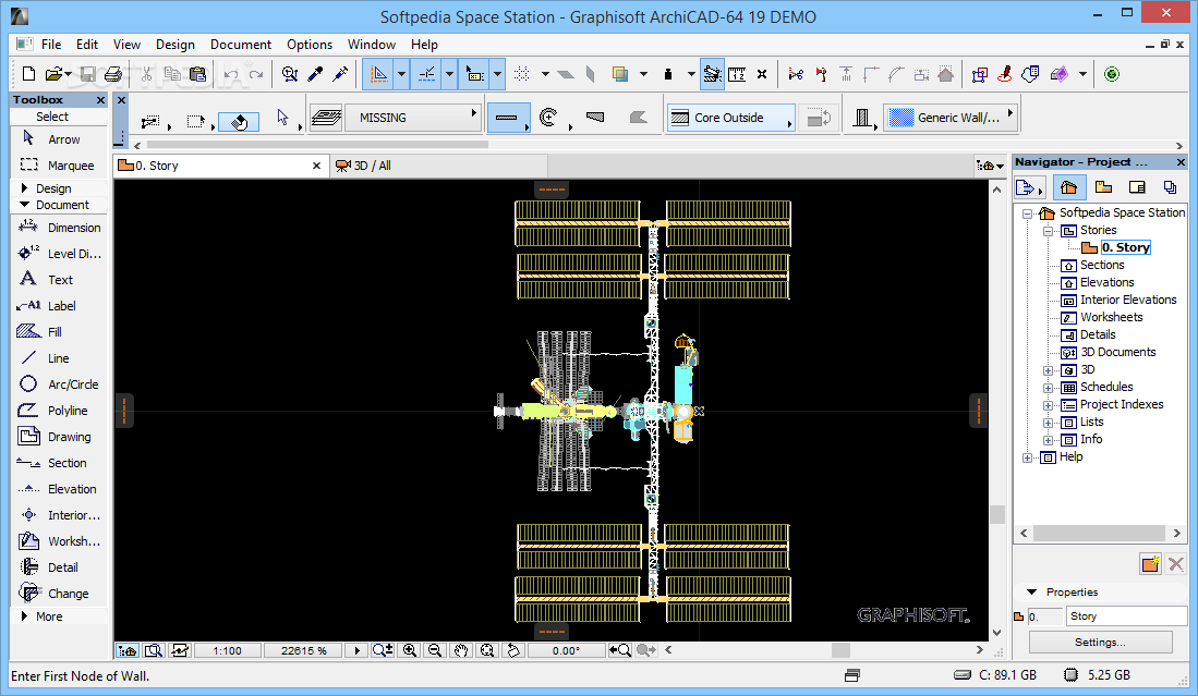
 View Screenshots(17)
 Comments
 Download


| Rate this software: | |
| Share in your network: |
|


 Similar Software
 Recently Searched
 Software Categories
 Trending Software


 Like Us


