Works on: Windows 10 | Windows 8.1 | Windows 8 | Windows 7 | Windows XP | Windows 2000 | Windows 2003 | Windows 2008 | Windows Vista | Windows 2012 SHA1 Hash: be2bb336066a8c6f07e9d081ee052d62f1a93177 Size: 11.36 MB File Format: exe
Rating: 2.217391304
out of 5
based on 23 user ratings
Publisher Website: External Link Downloads: 1395 License: Demo / Trial Version
ATMOGRAPH ModelVis is a demo software by PaulMarv Software and works on Windows 10, Windows 8.1, Windows 8, Windows 7, Windows XP, Windows 2000, Windows 2003, Windows 2008, Windows Vista, Windows 2012.
You can download ATMOGRAPH ModelVis which is 11.36 MB in size and belongs to the software category Science CAD. ATMOGRAPH ModelVis was released on 2014-08-01 and last updated on our database on 2017-04-01 and is currently at version 1.
Thank you for downloading from SoftPaz! Your download should start any moment now. It would be great if you could rate and share:
Rate this software:
Share in your network:
ATMOGRAPH ModelVis Description
ATMOGRAPH ModelVis is a complex yet user-friendly software solution created to serve the needs of meteorologists and all-around weather enthusiasts, by providing you with the ability to analyze GRIB data and capture picture or videos of the monitored region.
Straightforward and approachable user interface
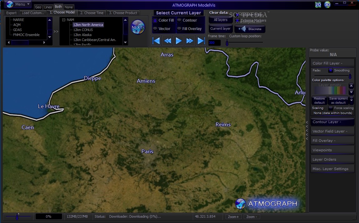
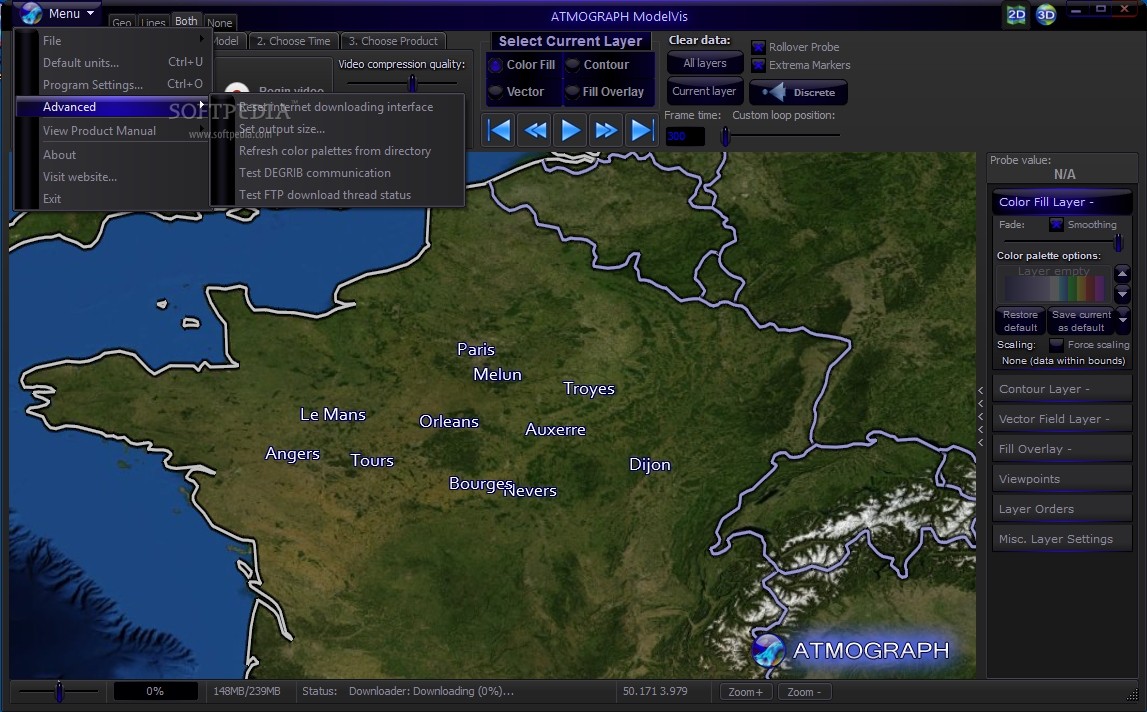
Following a fairly brief and uneventful installation process, you can launch the program and begin configuring its functioning preferences from the main window.
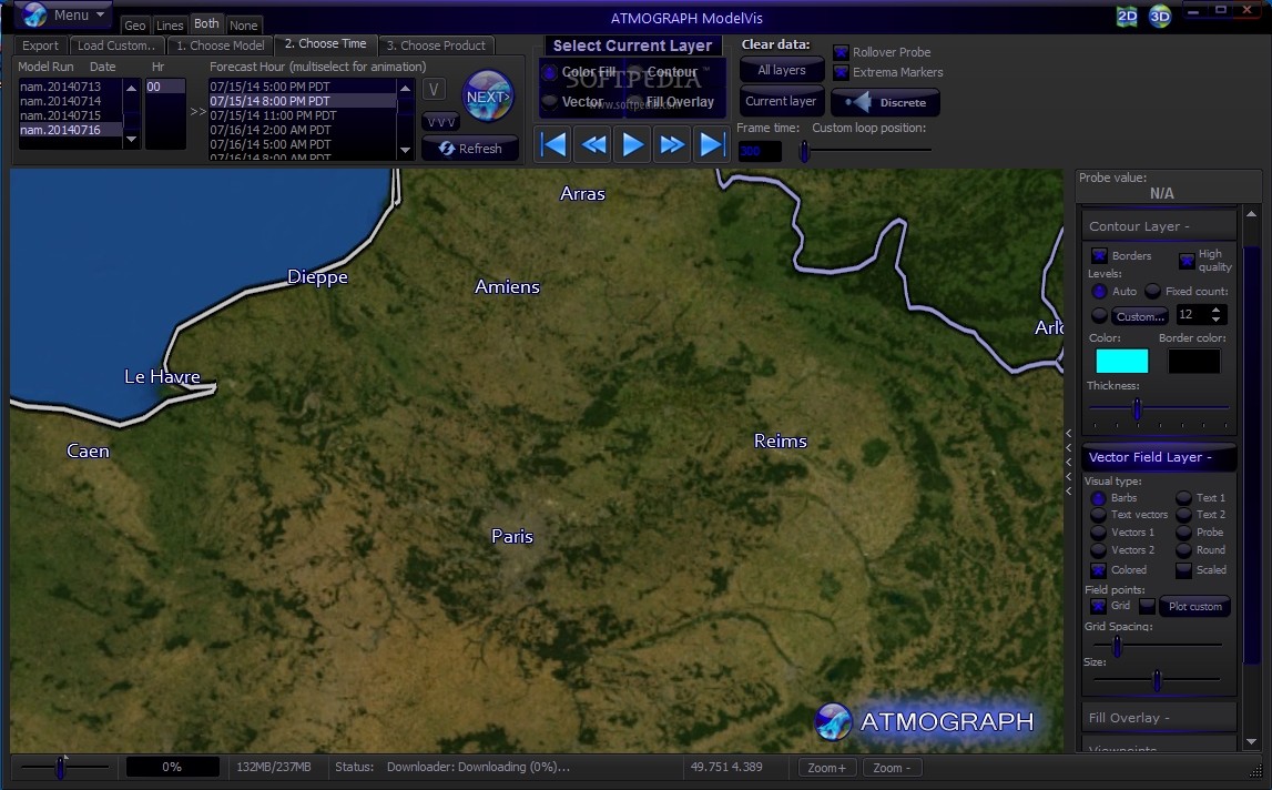
The application’s ribbon helps you choose the weather model you want to work with as well as the time frame, enabling you to define the parameters of your task in just a few moves.
Monitor and analyze weather events all over the world
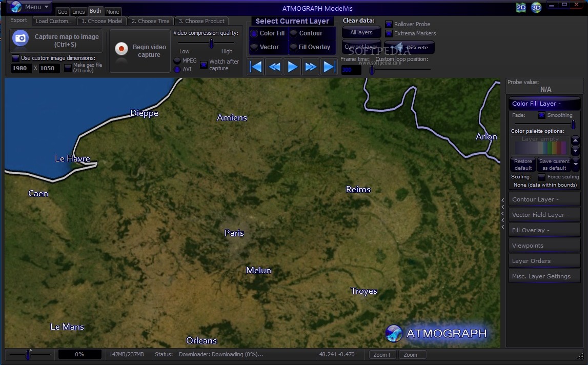
ATMOGRAPH ModelVis offers several visualization modes, including two- and three-dimensional, ‘Geo’, ‘Lines’ or ‘Both’, helping you track a precise area on the map without too much effort.
The utility features multiple weather models, including GFS, NAm, HRRR, HiresW, RAP, RTMA, NAVGEM, SREF, NARRE, AQM, GDS, each one comprising various options for you to use, depending on your needs.
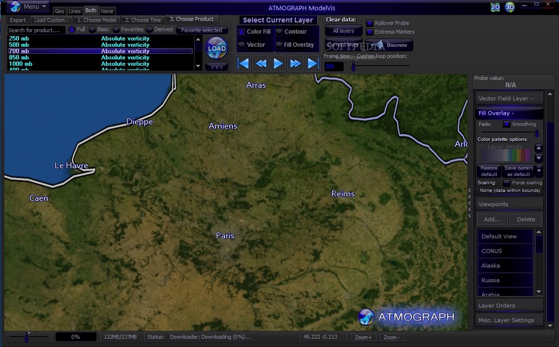
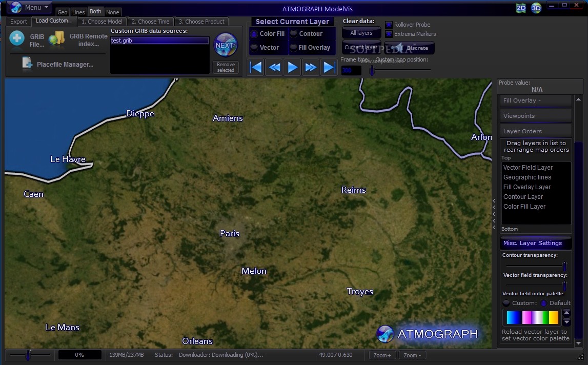
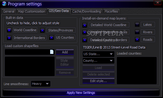
Similarly, you can setup the ‘Probe Value’ by select the necessary ‘Color Fill Layer’, ‘Contour Layer’, ‘Vector Field Layer’, ‘Fill Overlay’, ‘Viewpoints’, ‘Layer Orders’ and other ‘Misc. Layer Settings’. Furthermore, you can load a custom GRIB file into ATMOGRAPH ModelVis to obtain the precise information that you are after.
The ‘Export’ component allows you to grab screenshots of the map and save them to your computer to PNG, JPG, BMP, DDS or HDR format, in default or custom sizes. At the same time, you can capture a video recording of the map in AVI or MPEG for later analysis.
A handy forecaster’s assistant
To conclude, ATMOGRAPH ModelVis proves to be a useful and reliable tool that you can resort to for weather monitoring and analysis operations, obtaining and processing data with a minimal level of effort entailed for you.
Where to buy?
Last updated price and discount information 9 years agoupdate now


 Windows XP and above
 View Screenshots(12)
 Comments
 Download


 Similar Software
 Recently Searched
 Software Categories
 Trending Software


 Like Us


