Version: 1.1 Last Updated: 06 Mar 2017 Release: 13 Sep 2004 Category: Office tools
Rate this software:
157 downloads
View Screenshots(3)
Comments
Download
Liked it? Tell others:
Easy Chart 3D GEO Details
Works on: Windows 10 | Windows 8.1 | Windows 8 | Windows 7 | Windows XP | Windows 2000 | Windows 2003 | Windows 2008 | Windows Vista | Windows 2012 SHA1 Hash: 32b408a490d9b979296979eaa51d546433575dad Size: 8.31 MB File Format: exe
Rating: 2.565217391
out of 5
based on 23 user ratings
Publisher Website: External Link Downloads: 157 License: Demo / Trial Version
Easy Chart 3D GEO is a demo software by Geobrush International and works on Windows 10, Windows 8.1, Windows 8, Windows 7, Windows XP, Windows 2000, Windows 2003, Windows 2008, Windows Vista, Windows 2012.
You can download Easy Chart 3D GEO which is 8.31 MB in size and belongs to the software category Office tools. Easy Chart 3D GEO was released on 2004-09-13 and last updated on our database on 2017-03-06 and is currently at version 1.1.
Thank you for downloading from SoftPaz! Your download should start any moment now. It would be great if you could rate and share:
Rate this software:
Share in your network:
Easy Chart 3D GEO Description
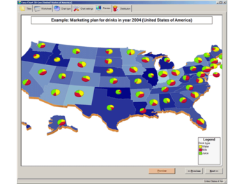
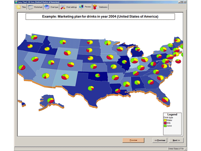
Easy Chart 3D GEO is easy to use wizard-like graphical reporting tool for effortless generation of complex business, management, financial and ad-hoc geographical pie charts (cylinder and cube shapes also available) of professional quality. Charts are generated on a top of a 3D geographical maps. Geographical Maps that are available: USA by states, USA states by counties, Europe by countries, Germany, Italy, United Kingdom, Spain, France, Austria, Australia, custom made maps and other on-demand maps.
Direct connection to Microsoft SQL Server, MS Access, Oracle and other databases (via ODBC) is available to fetch data from business systems (no place for human errors and very fast). Also, data can be Cut and Pasted from Microsoft Excel worksheets.
Graphical charts may be sent directly via email ('fire-and-forget' no-garbage technology) or saved to disk for later use in HTML WEB pages, business reports, marketing presentations or business meetings (suitable for LCD projectors and Screen Wall presentations).
Reports can be generated for English, German, Spanish, Italian, Chinese, Japanese or any other language (Unicode compatible).
Different output formats supported: 1) for image generation JPG (JPEG), TIFF, BMP, GIF, WMF and PNG format, 2) for animated reports AVI (Audio-Video Interchange) format so you can virtually 'fly over' your business regions and 3) smartCh@rt format (standalone interactive graphical business report format that does not require viewer on client side). SmartCh@rt is especially good for human communication inside organizations and companies because it promotes Paperless Office philosophy. Supports image resolutions from 200x200 to 2000x2000 pixels and 24-bit color depth. DirectX or OpenGL is NOT required.
For shorter transfer times and smaller memory footprint, ZIP compression option is available.
24-hour support team. Fast custom chart design team.
Get more info about program at GeoBrush's International site www.geobrush.com
Where to buy?
Last updated price and discount information 9 years agoupdate now


 Windows XP and above
 View Screenshots(3)
 Comments
 Download


 Similar Software
 Recently Searched
 Software Categories
 Trending Software


 Like Us


