Works on: Windows 10 | Windows 8.1 | Windows 8 | Windows 7 | Windows XP | Windows 2000 | Windows 2003 | Windows 2008 | Windows Vista | Windows 2012 SHA1 Hash: f8d5b119946eab485d2a48b99aae00de4efb5385 Size: 28.36 MB File Format: exe
Rating: 1.869565217
out of 5
based on 23 user ratings
Publisher Website: External Link Downloads: 460 License: Demo / Trial Version
ediTrail is a demo software by Aplicaciones Topográficas S.L. and works on Windows 10, Windows 8.1, Windows 8, Windows 7, Windows XP, Windows 2000, Windows 2003, Windows 2008, Windows Vista, Windows 2012.
You can download ediTrail which is 28.36 MB in size and belongs to the software category Home and Education. ediTrail was released on 2014-11-22 and last updated on our database on 2017-04-04 and is currently at version 1.
Thank you for downloading from SoftPaz! Your download should start any moment now. It would be great if you could rate and share:
Rate this software:
Share in your network:
ediTrail Description
ediTrail is an advanced and comprehensive software solution that was developed with one purpose in mind: that of helping you create and customize your own hiking trails, enabling you to plan ahead every trip you make.
Well-structured and practical user interface
The program features a fairly complex appearance, but you can get the hang of it in no time, particularly due to the extensive details provided as a startup guide, on the homepage.
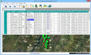
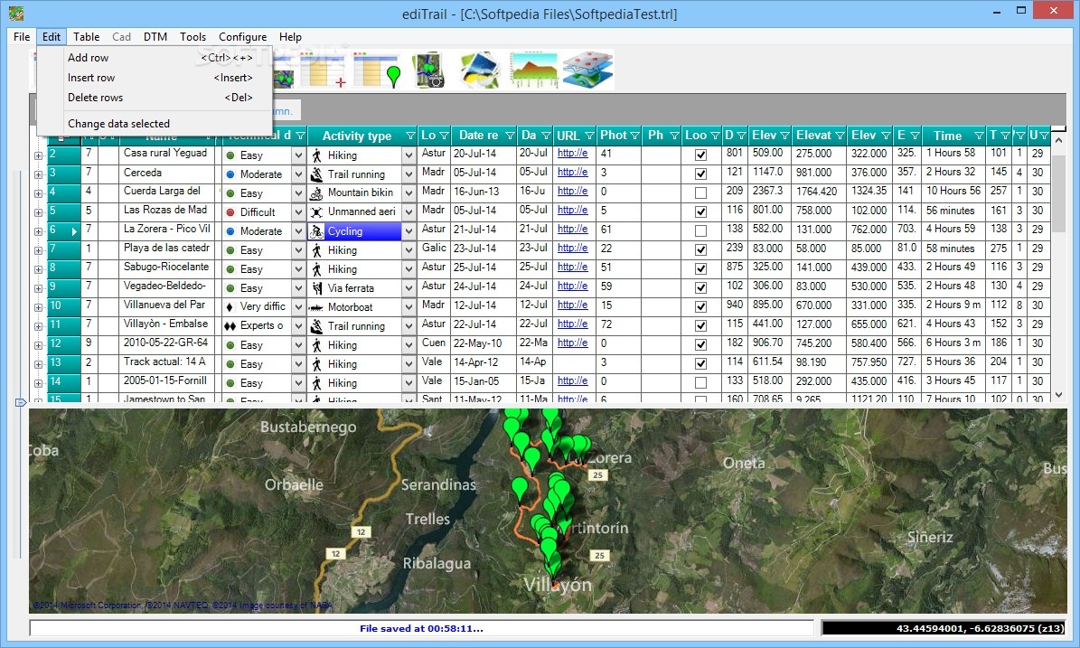
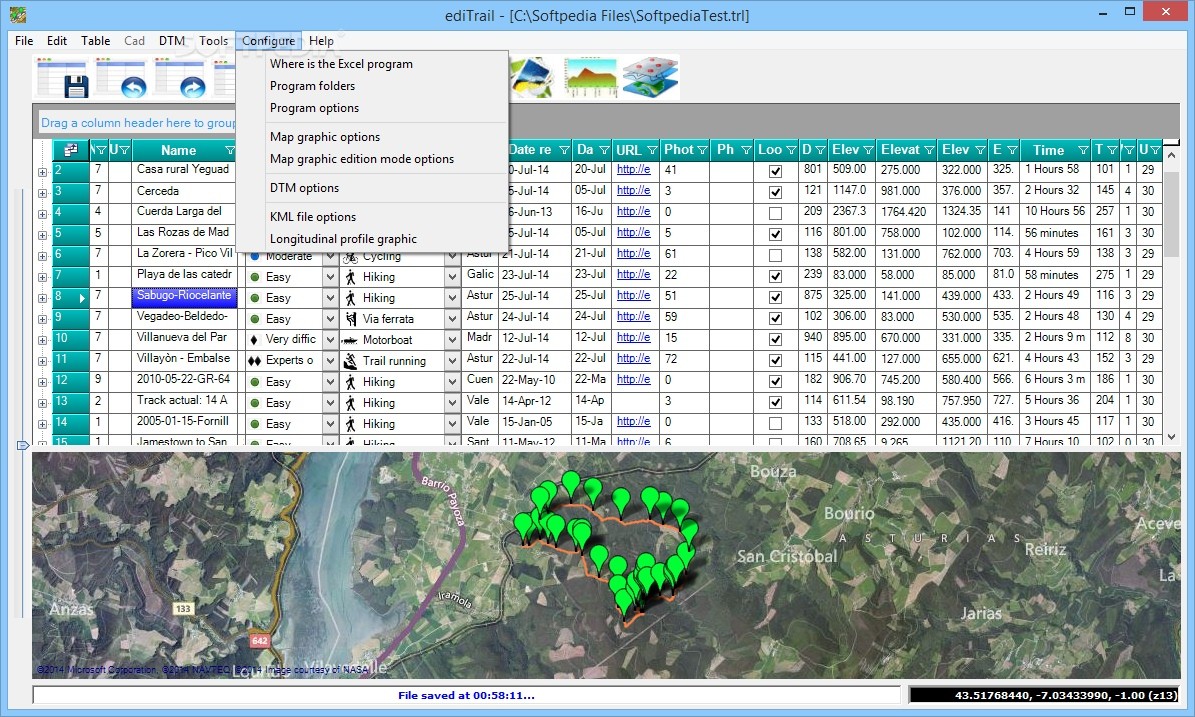
The main window of ediTrail displays a ribbon where all of the most important functions can be accessed with a simple click. From the dedicated menus, you can work with more advanced options and further develop your trail.
Easily create and customize hiking trails, then export them to GPX or KMZ
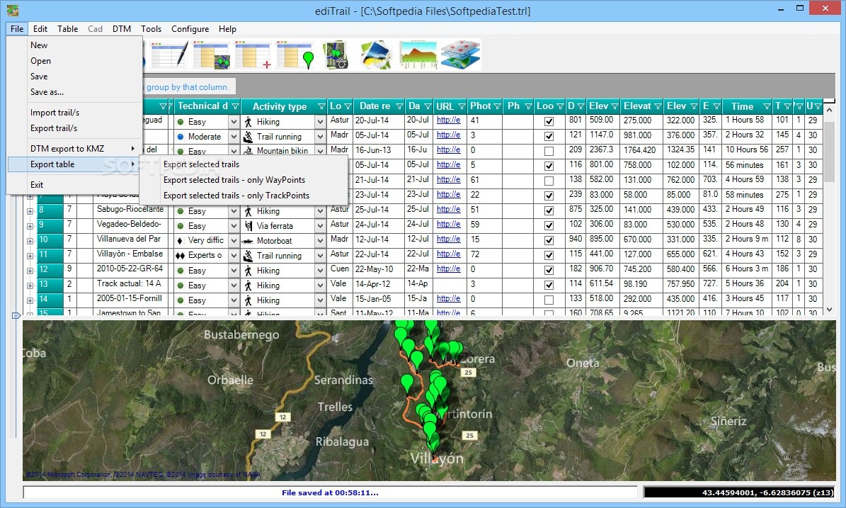
To begin with, you can either import trails from pre-existing files, in GPX format, or you can design them yourself, the entire process being fairly accessible, even if you have never done so before.
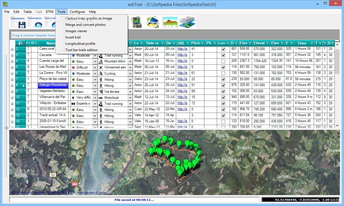
When starting a new trail, you firstly need to zoom into the area you intend to hike, run or cycle, after which you can open the ‘Tool Bar Trails Editing’ from the ‘Tools’ menu, which features to components necessary for drawing trails, vertex and WayPoints or inverting, joining and breaking trails.
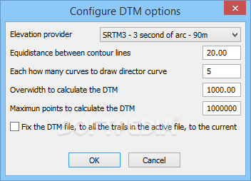
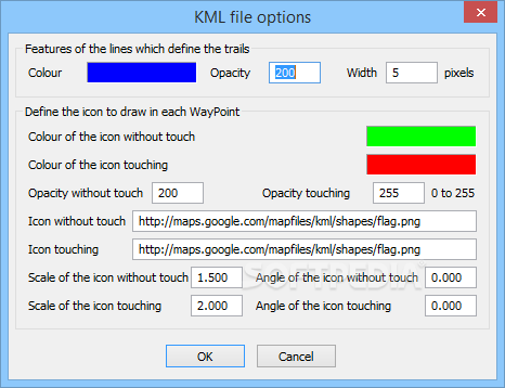
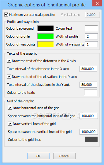
Each trail can comprise additional information, including difficulty level, total distance, photos and countless other details that you may find useful in your trip. When you are done, the utility lets you export it to a GPX file or you can save the Digital Terrain Model to KMZ format, so you can use it alongside Google Maps.
A handy mountain trail creator
To conclude, ediTrail is an interesting and useful application that passionate hikers or mountain bikers can resort to whenever you want to embark on a trip, ensuring you do not get lost and arrive at your destination on time.
Where to buy?
Last updated price and discount information 9 years agoupdate now


 Windows XP and above
 View Screenshots(12)
 Comments
 Download


 Similar Software
 Recently Searched
 Software Categories
 Trending Software


 Like Us


