Works on: Windows 10 | Windows 8.1 | Windows 8 | Windows 7 | Windows XP | Windows 2000 | Windows 2003 | Windows 2008 | Windows Vista | Windows 2012 SHA1 Hash: 599c9fb262717d752d6aef25d935e457a941199a Size: 633.79 KB File Format: zip
Rating: 2.304347826
out of 5
based on 23 user ratings
Downloads: 391 License: Free
FloppyGIS is a free software by Lazaros Dinakis and works on Windows 10, Windows 8.1, Windows 8, Windows 7, Windows XP, Windows 2000, Windows 2003, Windows 2008, Windows Vista, Windows 2012.
You can download FloppyGIS which is 633.79 KB in size and belongs to the software category Graphic. FloppyGIS was released on 2008-11-16 and last updated on our database on 2017-02-23 and is currently at version 1.
Thank you for downloading from SoftPaz! Your download should start any moment now. It would be great if you could rate and share:
Rate this software:
Share in your network:
FloppyGIS Description
Even if you can’t afford to travel the world, advancements in technology made it possible to explore every aspect of planet Earth from the comfort of your PC. Different types of files are used for georeferencing to accurately map out regions, including altitude formations, and with FloppyGIS you can easily explore these kind of files.
Can be used on the go
First of all, the application provides a great deal of flexibility by skipping you the installation process, and making it possible to carry it around on a thumb drive, along with GIS files you need. In addition, portability keeps the target system stable, because it doesn’t modify registries to enable functionality.
The core resource needed to benefit from what FloppyGIS has to offer are shapefiles found under the SHP format. However, you can also import georeferenced pictures of common formats like JPG, TIF, and BMP. Multiple items can be added, each stored on a different layer. A side navigation panel makes it easy to browse through them, and analyze elements.
Navigation, and layer options
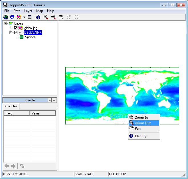
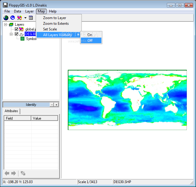
Most of the space is the preview area, with context menu controls to zoom, and pan. In addition, you can manually set the scale by writing down the numerical value. When not used for camera movement, the cursor becomes an identification tool, with results shown in an attributes panel, with simple layout for field name, and value.
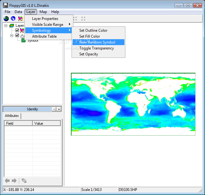
There aren’t any editing options involved, but you do have the liberty of customizing color for layer, border, and other elements. Moreover, the table of attributes can be brought up to get a better view over all items within your project. Sadly, it can’t be exported, nor pictures from the map itself, in which case you need to rely on the print screen keyboard function.
On an ending note
To sum it up, mapping out the entire planet is a powerful feat, which is used for more than entertainment. With applications like FloppyGIS, specialists can analyze georeferenced pictures and shapefiles of existing maps. Portability provides the flexibility you need to make analysis possible on any computer, with little effort.


 Windows XP and above
 View Screenshots(3)
 Comments
 Download


 Similar Software
 Recently Searched
 Software Categories
 Trending Software


 Like Us


