Works on: Windows 10 | Windows 8.1 | Windows 8 | Windows 7 | Windows XP | Windows 2000 | Windows 2003 | Windows 2008 | Windows Vista | Windows 2012 SHA1 Hash: 97730433a3ac2d6e743c761a0ca81b419f26bc01 Size: 10.95 MB File Format: exe
Rating: 2.217391304
out of 5
based on 23 user ratings
Publisher Website: External Link Downloads: 1578 License: Demo / Trial Version
GPS2CAD is a demo software by AzTechSoft and works on Windows 10, Windows 8.1, Windows 8, Windows 7, Windows XP, Windows 2000, Windows 2003, Windows 2008, Windows Vista, Windows 2012.
You can download GPS2CAD which is 10.95 MB in size and belongs to the software category Science CAD. GPS2CAD was released on 2006-06-28 and last updated on our database on 2017-02-18 and is currently at version 3.5.
Thank you for downloading from SoftPaz! Your download should start any moment now. It would be great if you could rate and share:
Rate this software:
Share in your network:
GPS2CAD Description
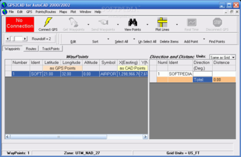
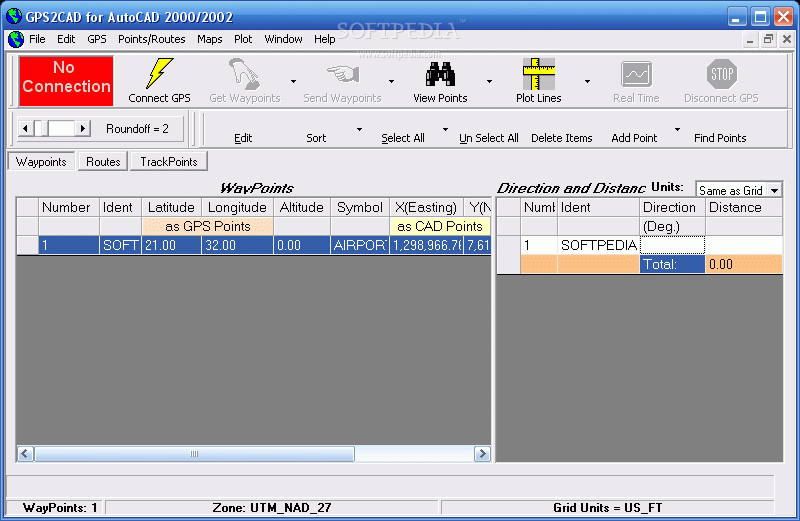
GPS2CAD allows you easily and inexpensively use recreational-grade GPS units to collect field information and plot it in their CAD software.
While professional survey-grade systems are more accurate, most recreational GPS units are well-suited for many site layout and "topo-plotting" requirements.
Viewing the imported points on actual public-domain aerial photos or topographic maps is an important part of GPS2CAD. These maps are obtained automatically when the user clicks the "View Points" button, and then displayed in a separate window with the map, points and id clearly plotted.
GPS2CAD translates the GPS points from their "satellite based" coordinate system into more than 40 world wide coordinate systems, including the extremely popular NAD 27, NAD 83, and the State Plane Coordinate systems (used in the United States).
The program is designed to work with AutoCAD, versions 14.01 through 2004. In addition, it will export the point data to text files, Access 2000 files, and DXF files, so most technical/CAD programs (including AutoCAD LT) can use the point data.
Here are some key features of "GPS2CAD":
ï¿ Plots the waypoints in AutoCAD
ï¿ Plots the points on public domain Aerial Photos, Topographic maps, or Tiger (Census) maps from TerraServer-USA
ï¿ Compatible with AutoCAD 2005
ï¿ Converts points to State Plane Coordinate System
ï¿ Performs a "Real Time" capture of points, plotting them in AutoCAD or into an Access 2000 Database
ï¿ On-Line help system that always provides the latest information
ï¿ DXF Export for use in other CAD programs
Limitations:
ï¿ Some features are not included.
Where to buy?
Last updated price and discount information 9 years agoupdate now


 Windows XP and above
 View Screenshots(1)
 Comments
 Download


 Similar Software
 Recently Searched
 Software Categories
 Trending Software


 Like Us


