Works on: Windows 10 | Windows 8.1 | Windows 8 | Windows 7 | Windows XP | Windows 2000 | Windows 2003 | Windows 2008 | Windows Vista | Windows 2012 SHA1 Hash: 2f1a2ce43b6600125c8a3161d326dc6c00a1587b Size: 253.58 MB File Format: exe
Rating: 2.478260869
out of 5
based on 23 user ratings
Publisher Website: External Link Downloads: 1685 License: Free
gvSIG is a free software by gvSIG Association and works on Windows 10, Windows 8.1, Windows 8, Windows 7, Windows XP, Windows 2000, Windows 2003, Windows 2008, Windows Vista, Windows 2012.
You can download gvSIG which is 253.58 MB in size and belongs to the software category Science CAD. gvSIG was released on 2015-01-30 and last updated on our database on 2017-04-04 and is currently at version 2.
Thank you for downloading from SoftPaz! Your download should start any moment now. It would be great if you could rate and share:
Rate this software:
Share in your network:
gvSIG Description
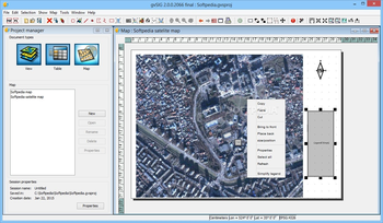
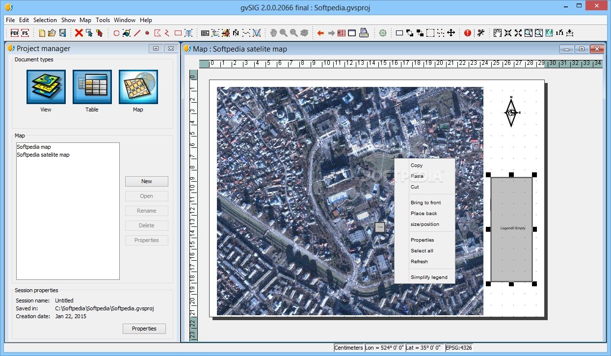
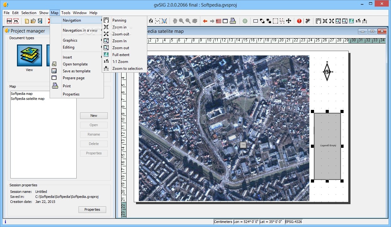
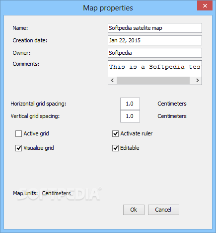
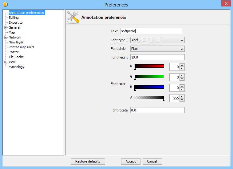
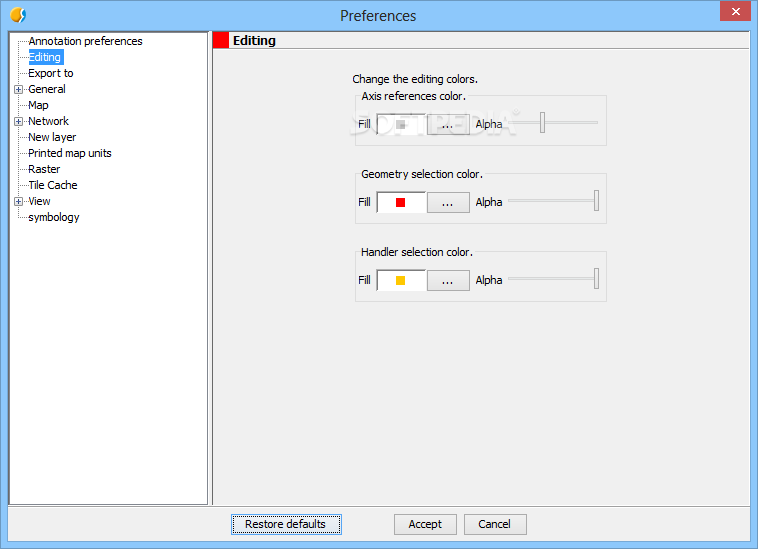
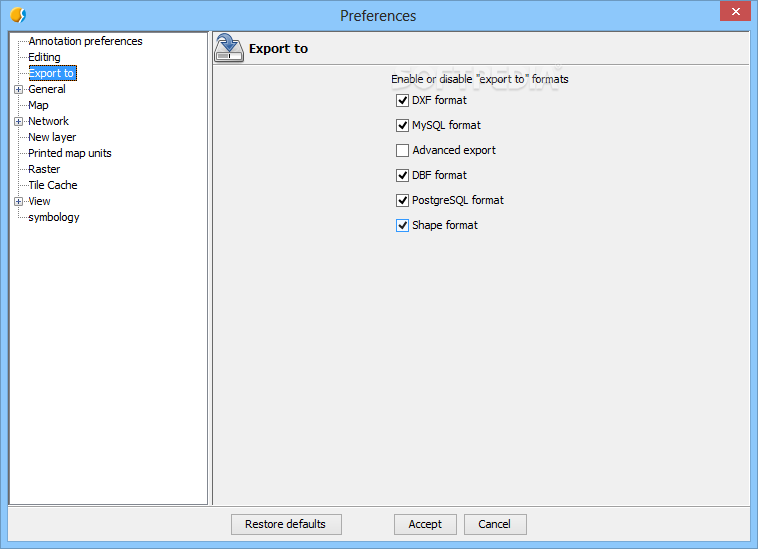
gvSIG is a Geographic Information System (GIS) desktop software that will help you capture, store, handle, analyze and deploy any kind of referenced geographic information in order to solve complex management and planning problems.
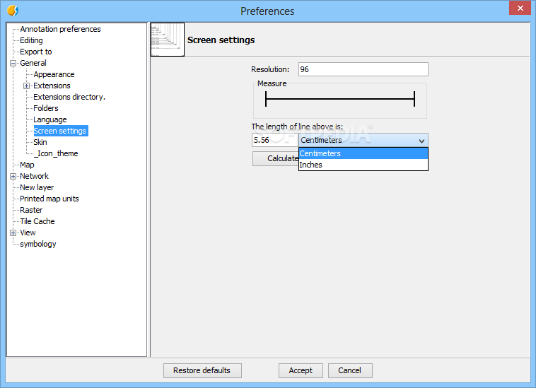
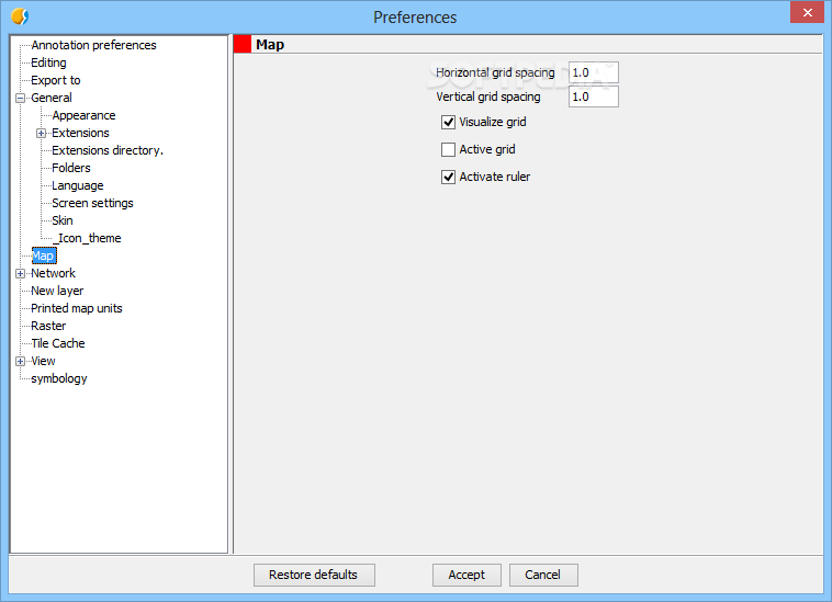
gvSIG is known for having a user-friendly interface, being able to access the most common formats, both vector and raster ones. It features a wide range of tools for working with geographic-like information (query tools, layout creation, geoprocessing, networks, etc.), which turns gvSIG into the ideal tool for users working in the land realm.System requirementsPentium III
256 MB RAM
Java Virtual Machine 1.6.0 or higher (Java 1.7.0 in Windows 8) (included)


 Windows XP and above
 View Screenshots(19)
 Comments
 Download


 Recently Searched
 Software Categories
 Trending Software


 Like Us


 Similar Software


