Works on: Windows 10 | Windows 8.1 | Windows 8 | Windows 7 | Windows 2012 SHA1 Hash: c26d573020156035d7b40d7b4694b95b58a12ad3 Size: 24.81 MB File Format: zip
Rating: 2.260869565
out of 5
based on 23 user ratings
Publisher Website: External Link Downloads: 1674 License: Demo / Trial Version
Metes and Bounds is a demo software by Sandy Knoll Software and works on Windows 10, Windows 8.1, Windows 8, Windows 7, Windows 2012.
You can download Metes and Bounds which is 24.81 MB in size and belongs to the software category Science CAD. Metes and Bounds was released on 2017-01-16 and last updated on our database on 2017-04-22 and is currently at version 5.2.
Thank you for downloading from SoftPaz! Your download should start any moment now. It would be great if you could rate and share:
Rate this software:
Share in your network:
Metes and Bounds Description
Perform calculations: Square Feet, Acres, Hectares, perimeter distance and more.
Easy to use data entry form: Enter lines or curve data.
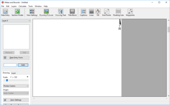
Layers: Layers allow you to have multiple deeds on a single drawing. Layers can be free floating or locked to a common starting point.
Metes & Bounds will calculate if the survey closes or not. Calculate closure errors.
Auto-Completion of drawing. If you're missing the final segment of your land plotting data, let our Metes and Bounds land plotting software finish it for you. Have a bad or missing call? Enter a question mark (?) for the call and let the software find the missing call for you.
Multiple measurement types: Data can be inputted using Feet, meters, rods, chains, varas and many other measurement types
Easy to use measuring tool. Estimate the distance between any two points on the screen.
Automatic labeling: Each line can be automatically labeled with the length and call. End points can be marked for easier recognition. End points can also be labeled with information like the interior and exterior angles.
Create custom labels and backgrounds. Labels can be rotated in 90 degree increments. Drawings can include a call list:
Backgrounds can be set to scale with your plot drawing.
Split a single plot into multiple plots. Split the plot by hand, or choose a starting point and let the Metes and Bounds software find the nearest halves automatically for you.
Create section drawings.
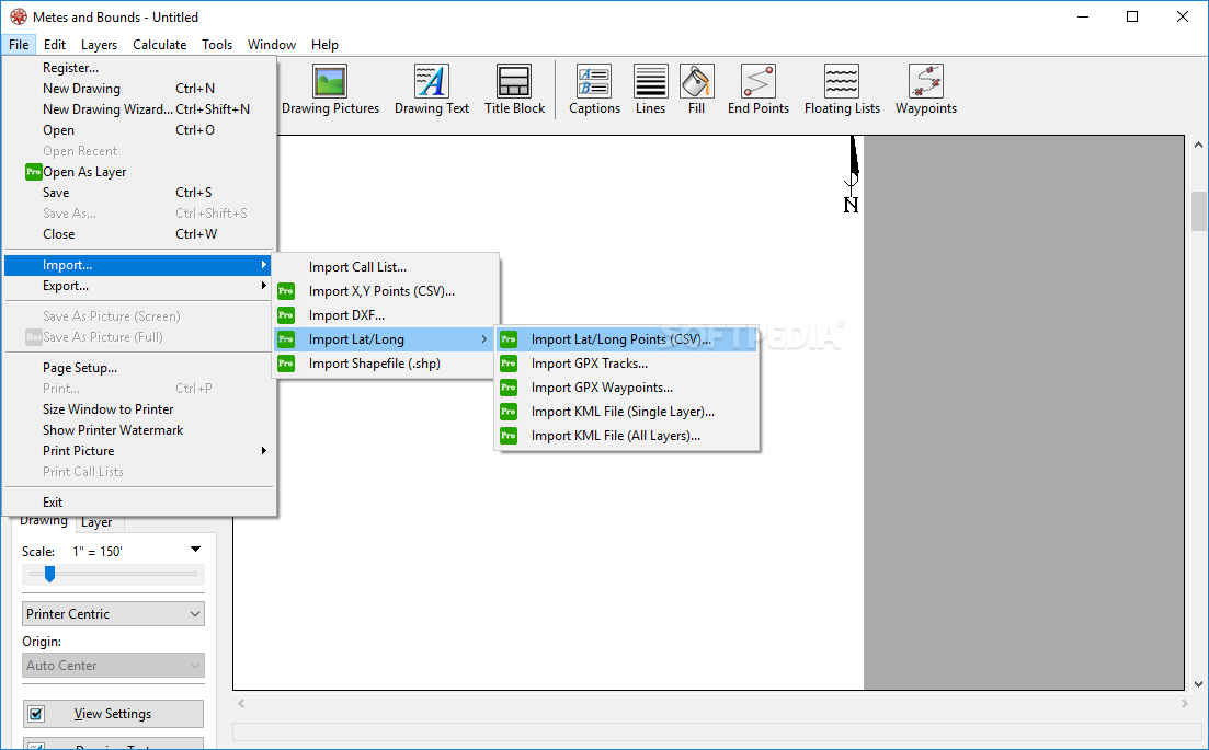
Exporting: Metes and Bounds data can be exported as a DXF file, KML File, CSV file and more.
Printing: Printouts can include borders, call list, north arrow and title block.
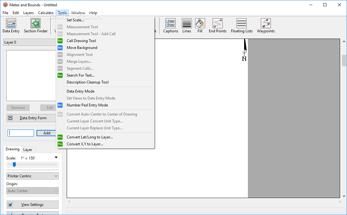
Real-world X,Y coordinates. Export real-world X,Y coordinates for integration with other mapping software such as GIS software.
Custom X,Y points. Use custom X,Y points to mark and label unique land features on the metes and bounds drawing.
Real-world Latitude and Longitude coordinates. Enter the latitude and longitude for a plot's POB and let the metes and bounds software calculate the latitude and longitude for each of the other end points.
Waypoints to metes and bounds calls. Convert a set of waypoints, x/y or Latitude/Longitude based, into a list of metes and bounds calls.
Enter Waypoints and Tracks. Add GPS waypoints and tracks to your drawings. Import GPX and KML files. Make calculations like the distance between two waypoints.
Where to buy?
Last updated price and discount information 9 years agoupdate now


 Windows 7 and above
 View Screenshots(5)
 Comments
 Download


 Similar Software
 Software Categories
 Trending Software


 Like Us


 Recently Searched


