


 Windows XP and above
| Rate this software: | |
| 370 downloads | |
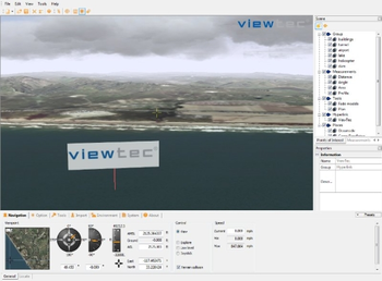
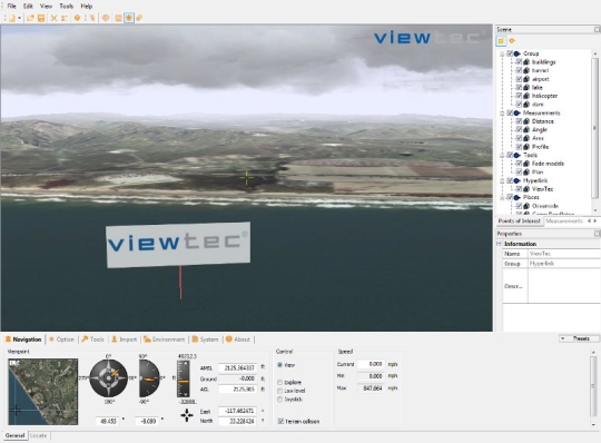
 View Screenshots(1)
 Comments
 Download


| Rate this software: | |
| Share in your network: |
|

TerrainView can be upgraded to the different professional extensions:TerrainView-Globe extends TerrainView with unlimited GIS, multilayered elevation and image data import based on Earth and offers ultra-fast and high resolution rendering for GIS and simulation users.The extension TerrainView-Remote Control offers an API to remotely manipulate points of interest and 3D objects of a 3D scene in real-time.The extension TerrainView-CMAX consists in a high-end system for seamless multi-channel, multi-projections and visualizations on multiple screens and walls.TerrainView-Video is the extension to produce videos in a resolution higher than 640x480 e.g. PAL, NTSC and HDTV.
Whats new in this version:
Version 4.2.0.5 adds support for Windows 7 (32/64Bit), CityGML, new online help and runs on VMWARE.
 Similar Software


 Recently Searched
 Software Categories
 Trending Software


 Like Us


